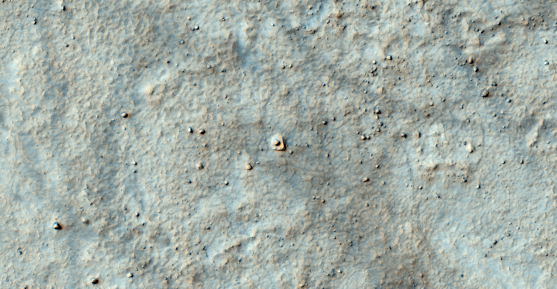
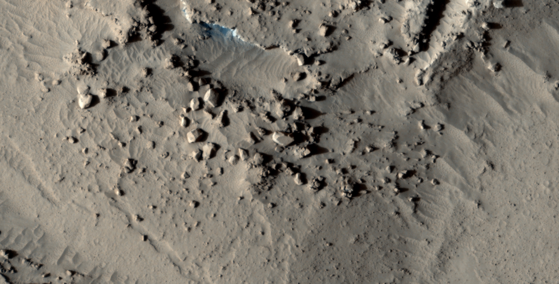
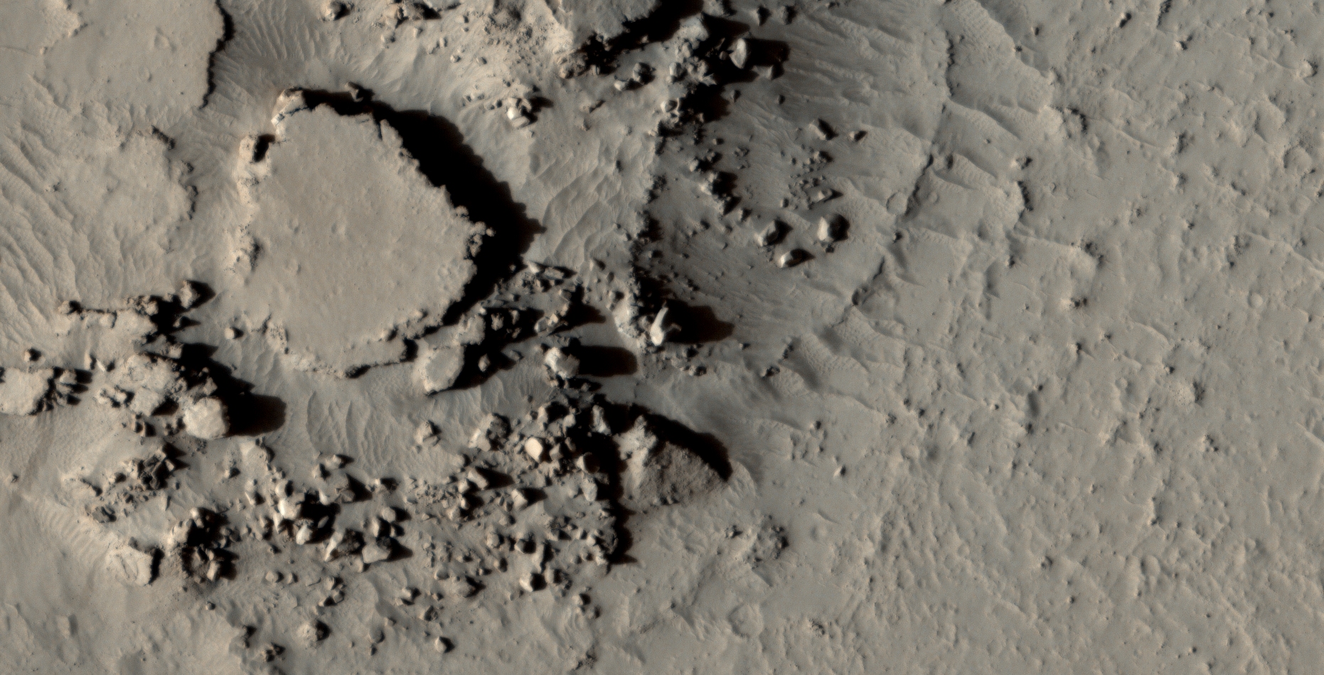
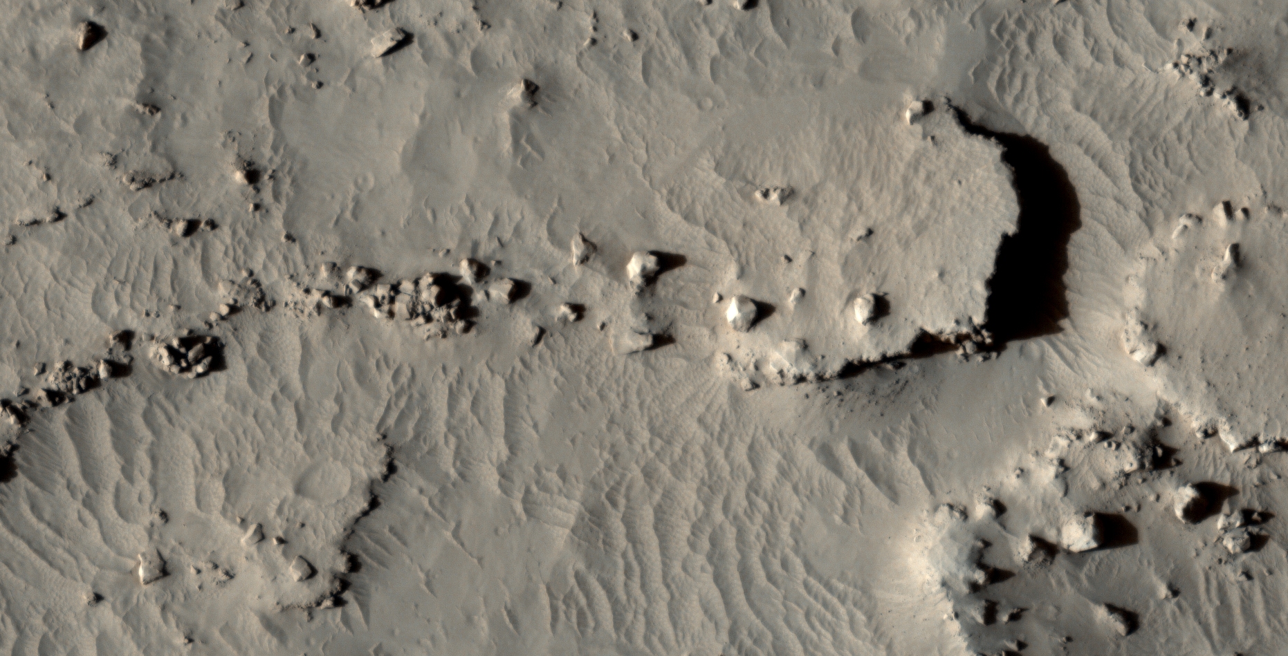
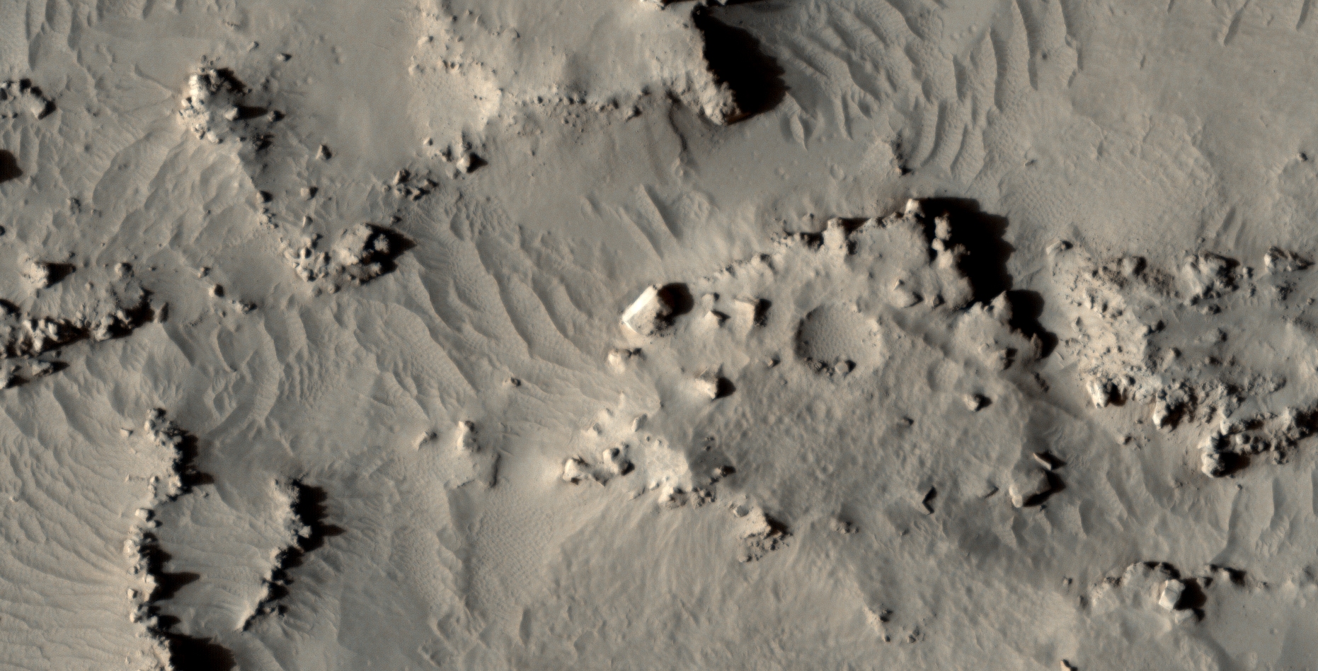
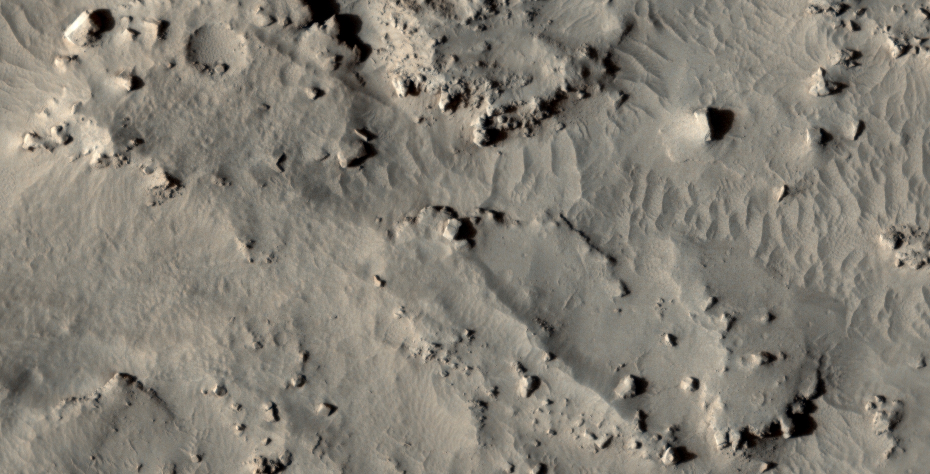
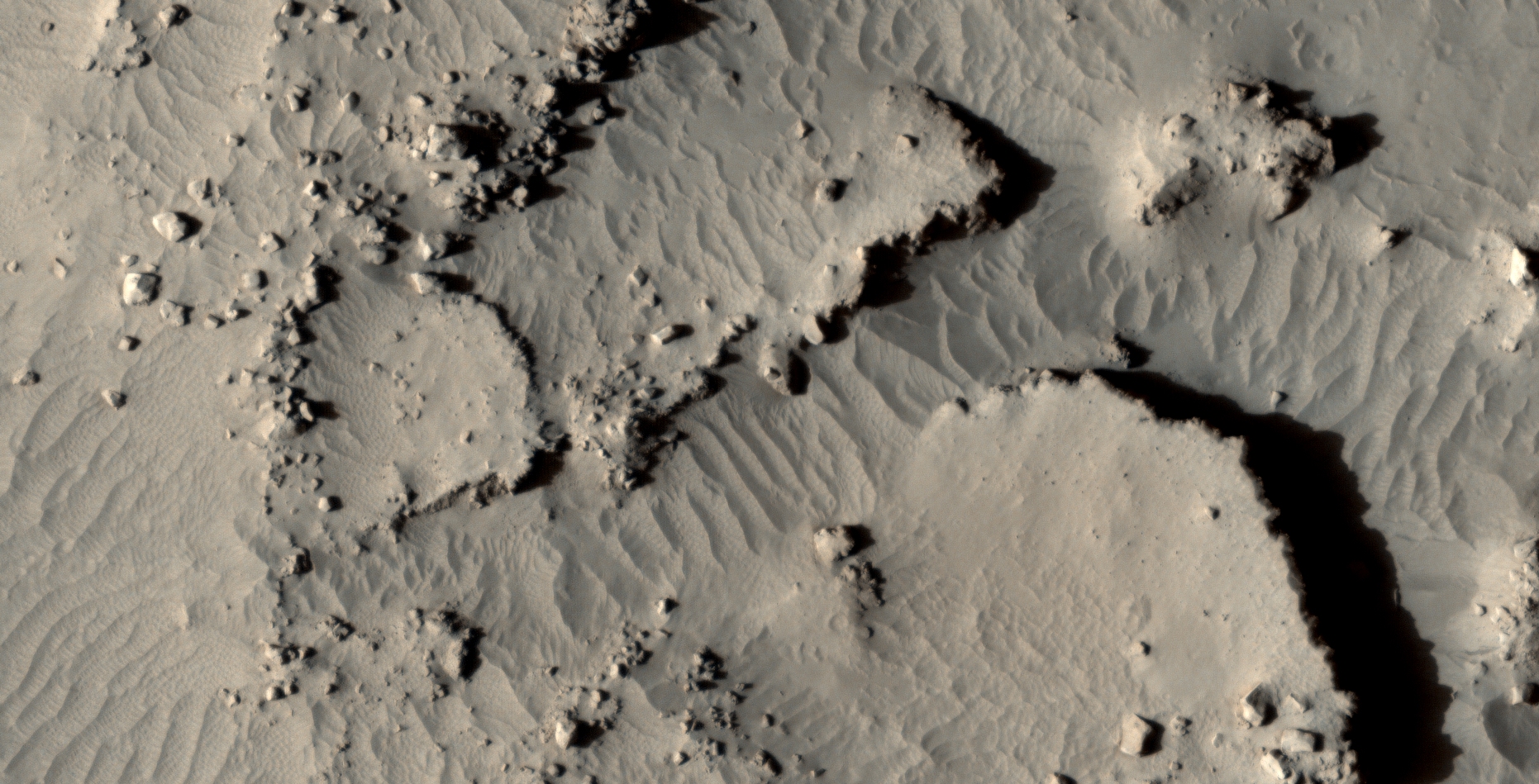
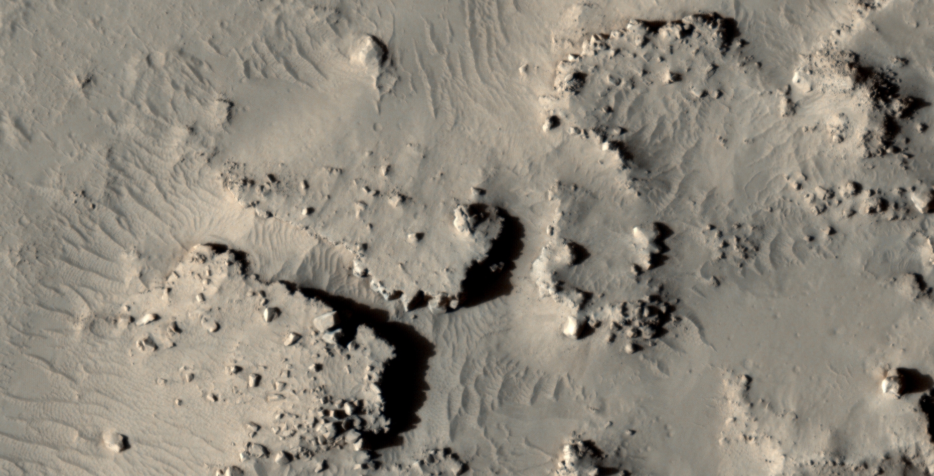
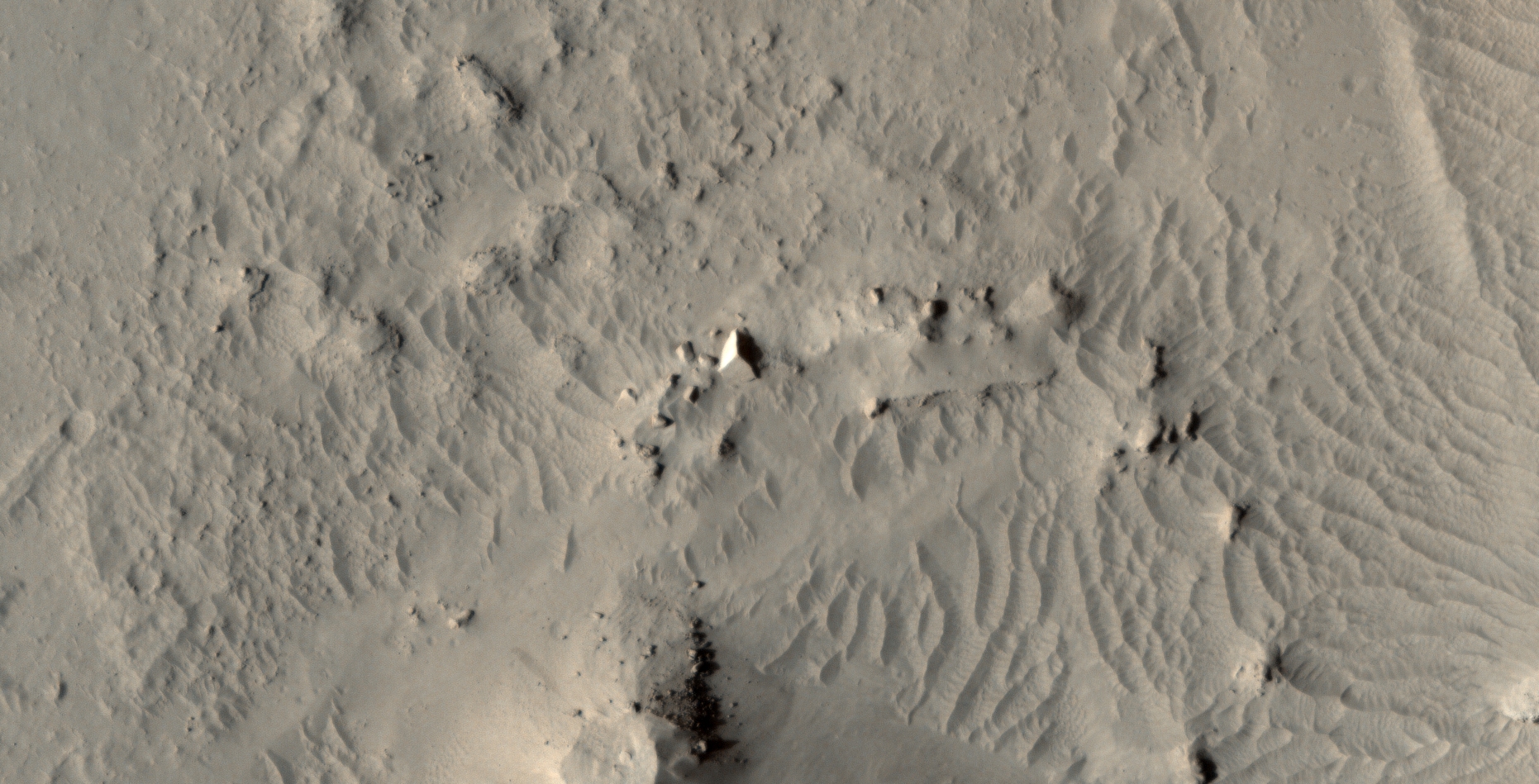
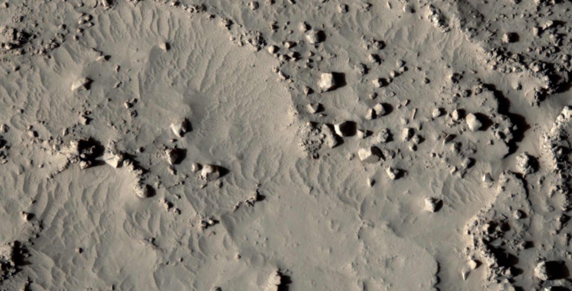
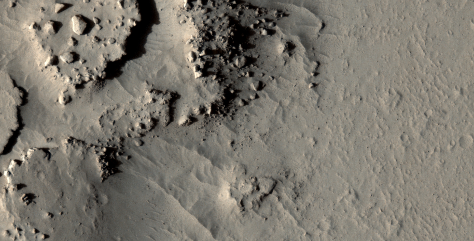
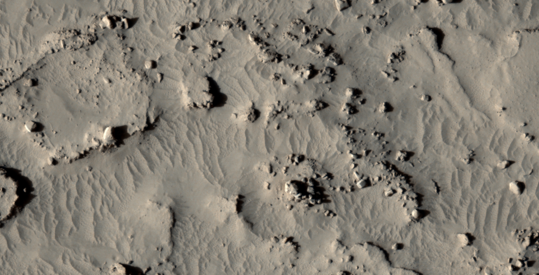
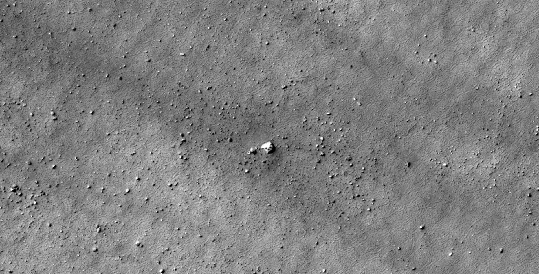
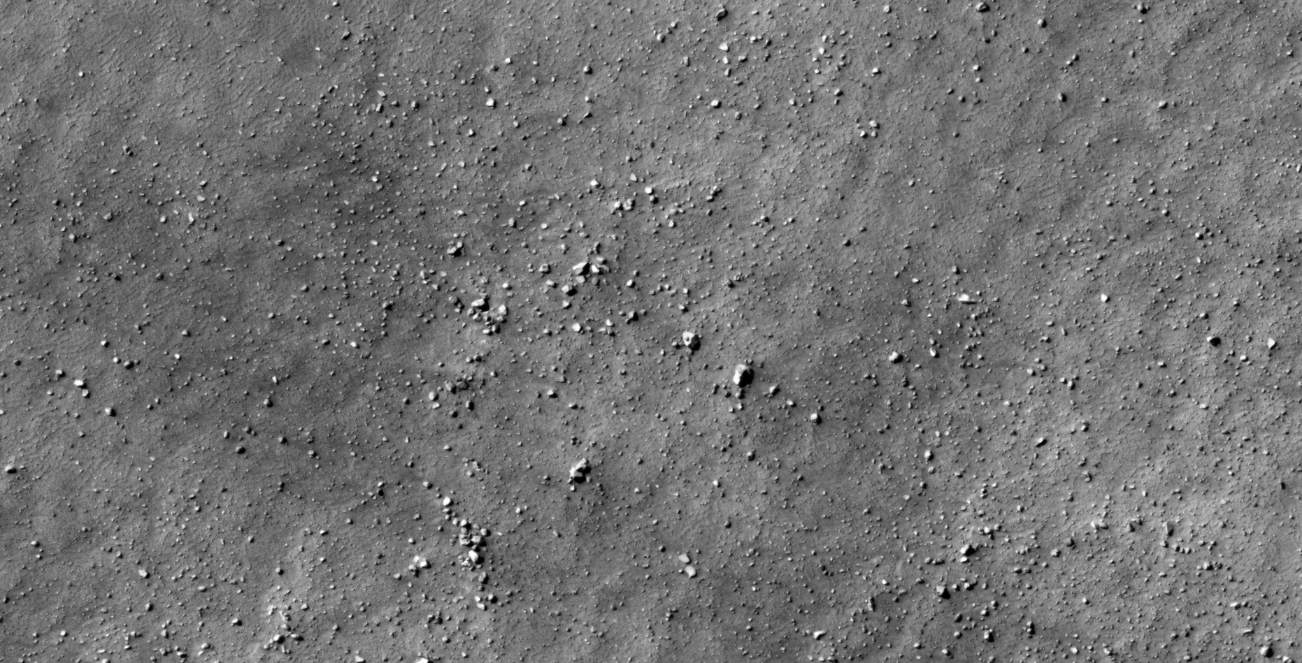
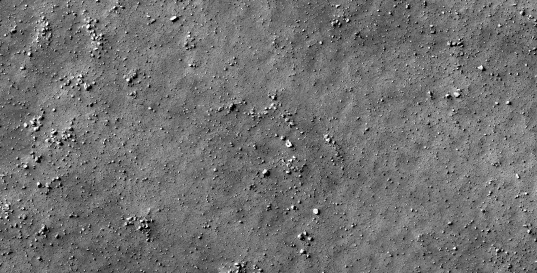
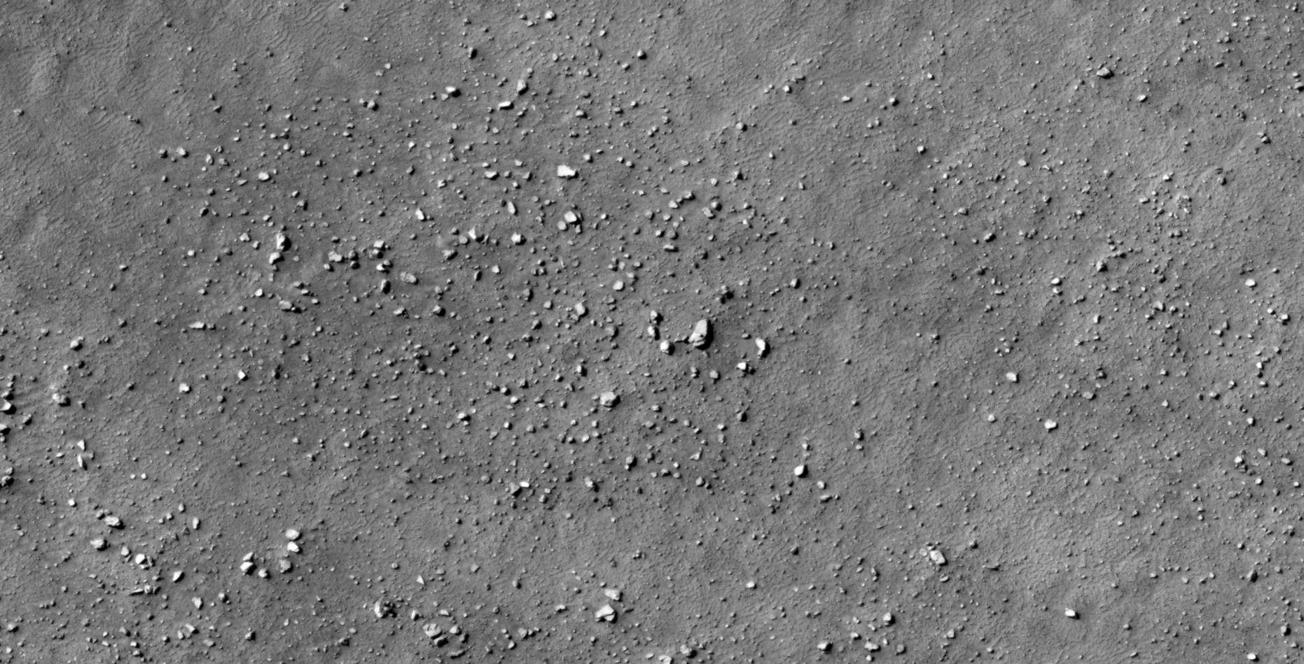
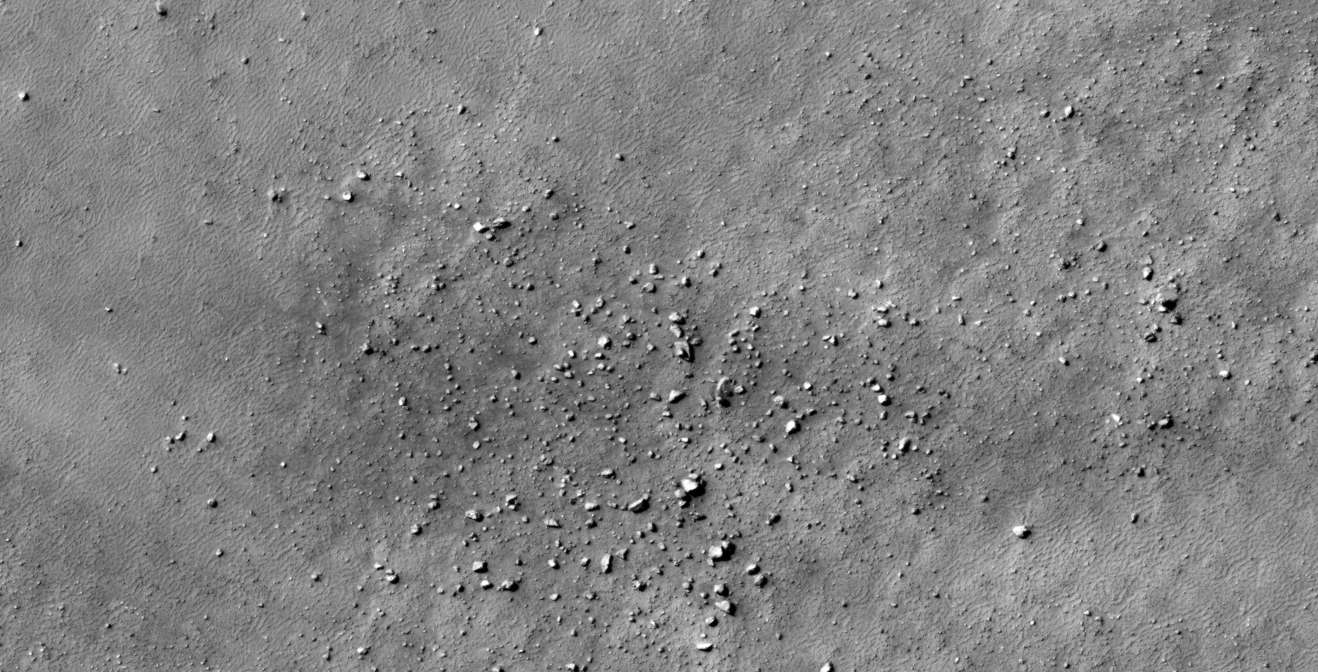
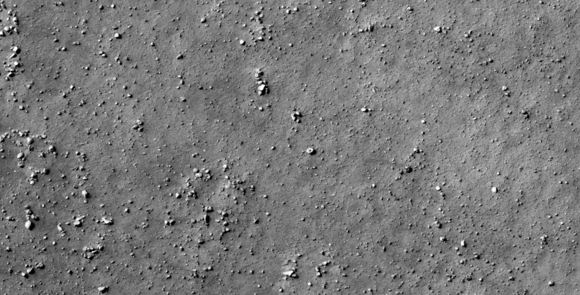
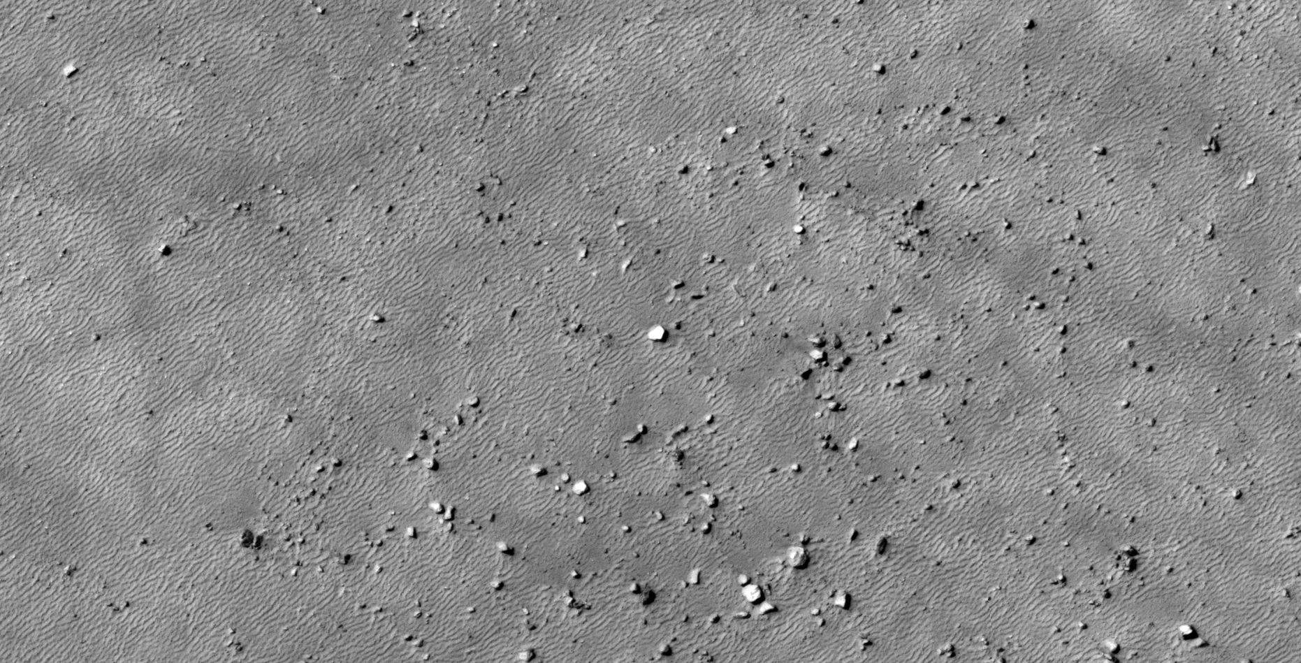
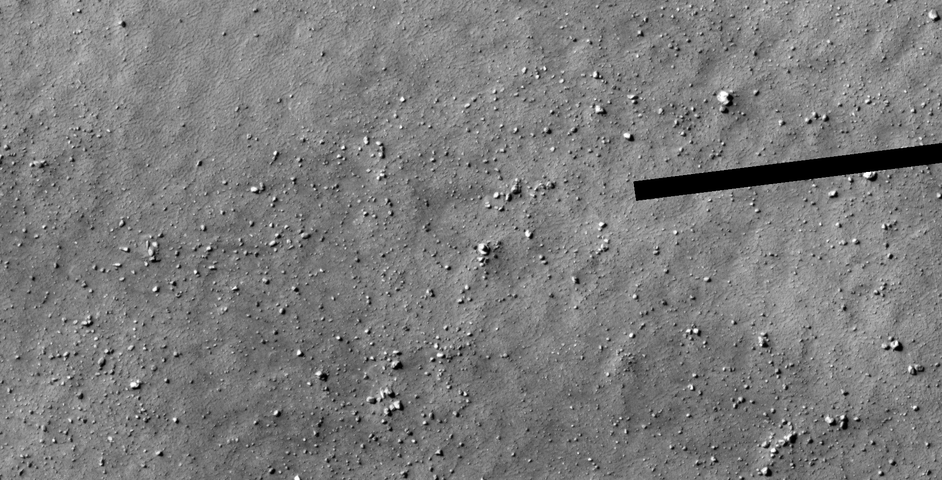
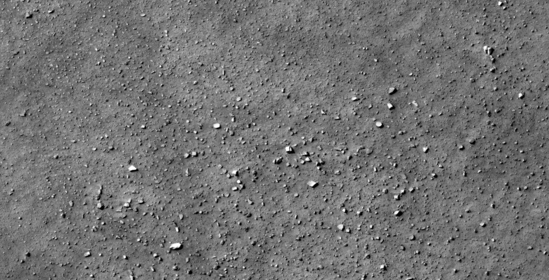
The photograph analyzed here (PSP_004067_1230) was taken by NASA’s Mars Reconnaissance Orbiter on 09 June 2007 and is described as ‘Sample of Circum-Argyre Region.’
Here we go again, additional disc-shaped objects approximately 12 metres in diameter as well as more blocks/slabs with knobs.
An elevated view of this site being analyzed (click for larger image)An elevated view of this site being analyzed (click for larger image)Click for original image at 1:1 scaleClick for original image at 1:1 scaleClick for original image at 1:1 scaleClick for original image at 1:1 scaleClick for original image at 1:1 scale
Images saved from within HiView or CTX viewer do not include image scale indicators. The image scale indicators I include in images are based on the official resolutions provided by NASA and although I strive to be as accurate as possible there may be slight deviations from the actual scale. Image scale indicators are included as a size approximation tool only.
Geometry lines are mapped as accurately as possible using the limited information, data and mapping tools available at the time, therefore the lines may deviate from target sites by a few kilometres. Revisions may be made in the future as new, more precise information, data and mapping tools become available.
Many or all of the anomalies/artefacts covered in this presentation may be naturally occurring geological features caused by some type of geological processes, however due to the lack of specific information from the source we can only speculate whether these are all natural or some artificial in nature.
In cases where I say an anomaly looks like something I’m attempting to clarify what I see and not specifically that the anomaly is what I say it looks like.
My intention is only to share anomalies I’ve discovered on Mars and not to convince anyone that there is or was a civilization on Mars.
As Will Farrar from WhatsUpInTheSky says: “I see what I see, you see what you see.”
My review of the 1989 Kalahari UFO Incident – South Africa’s Roswell.
The 1989 Kalahari UFO Incident – South Africa’s Roswell
I also go over the feasibility of the dates, times, locations and bearings as stated in the South African Air Force (SAAF) Intelligence Report as well as it’s aesthetics.
The data and information presented in the SAAF Intelligence Report appears feasible.
Furthermore, based on this finding and all the supporting evidence I am convinced that the 1989 Kalahari UFO Incident more than likely did happened.
The evidence is very compelling and this incident deserves further investigation.
What is analyzed here?
Aesthetic details of the leaked SAAF Intelligence Report
The locations, bearings, dates and times stated in the report
Background/historical information
The SAAF Intelligence Report (click for larger image)
Sequence of events
7 May (time not specified): An unidentified flying craft is spotted by NORAD on a heading towards South Africa over the Indian Ocean
NORAD
7 May (time not specified): The craft approaches South African air
space in a North Westerly direction at an incredibly high speed calculated to be 5746 nautical miles per hour (10641 km/h)
South African Air Space
7 May, 13H45: Naval Frigate SAS Tafelberg spots the craft on radar
and notifies DF Malan Air Port which confirms the craft sighting on their radar
SAS Tafelberg (click for larger image)
7 May, 13H52: Craft enters South African air space. The SAAF is
informed and two Mirage jet fighters are dispatched from Valhalla AFB
to intercept the craft. Shortly thereafter the craft suddenly changes its path to a Northerly direction
Valhalla AFB also know as Swartkops AFB in Pretoria (click for larger image)South African South Coast
7 May, 13H59: The fighter jets subsequently make radar and then visual
contact and try to communicate with the craft with no success
SAAF Mirage Jet Fighter
7 May, 14H02: The pilots are instructed to shoot down the craft using their Thor 2 Laser/maser weapons (Physicist Charles H. Townes designs 1st Maser in 1952)
Charles H. Downes with the Maser (click for larger image)
The craft is hit, loses control and falls into a steep downward trajectory and eventually crashes in the Kalahari Desert
UFO crash lands in the Kalahari Desert (click for larger image)
The craft remains intact with one of its landing gear deployed (only find out later humanoids on board the craft survive the crash)
Depiction of the craft from the SAAF Intelligence Report (click for larger image)
The pilots remain in the area until a recovery team arrives together with a medical team
Recovery Team (click for larger image)
The craft including the aliens is apparently taken to a military base called Camp 13 not far from the crash
The craft hatch partially opens, hydraulic equipment is used to pry open
the hatch
Depiction of the craft from the SAAF Intelligence Report (click for larger image)
Two aliens stagger out, one is injured, the other appears unharmed. There are other reports that there was a third alien found inside the craft which might have survived
The Aliens (click for larger image)
By their anatomy the two aliens are identified to be typical “grey’s”
The Medical Report from the SAAF Intelligence Report (click for larger image)
A doctor tries to draw blood from one of the aliens and is viciously
attached leaving the doctor with deep scratches to the face and chest
(apparently the alien was defending itself). The aliens also refuse to
eat food given to them
A typical “Grey”
Meanwhile a team removes the lose technological devices from within
the craft
Another team analyses the strange ‘Hieroglyphic’ symbols inside the craft and apparently some time later identify an alphabet
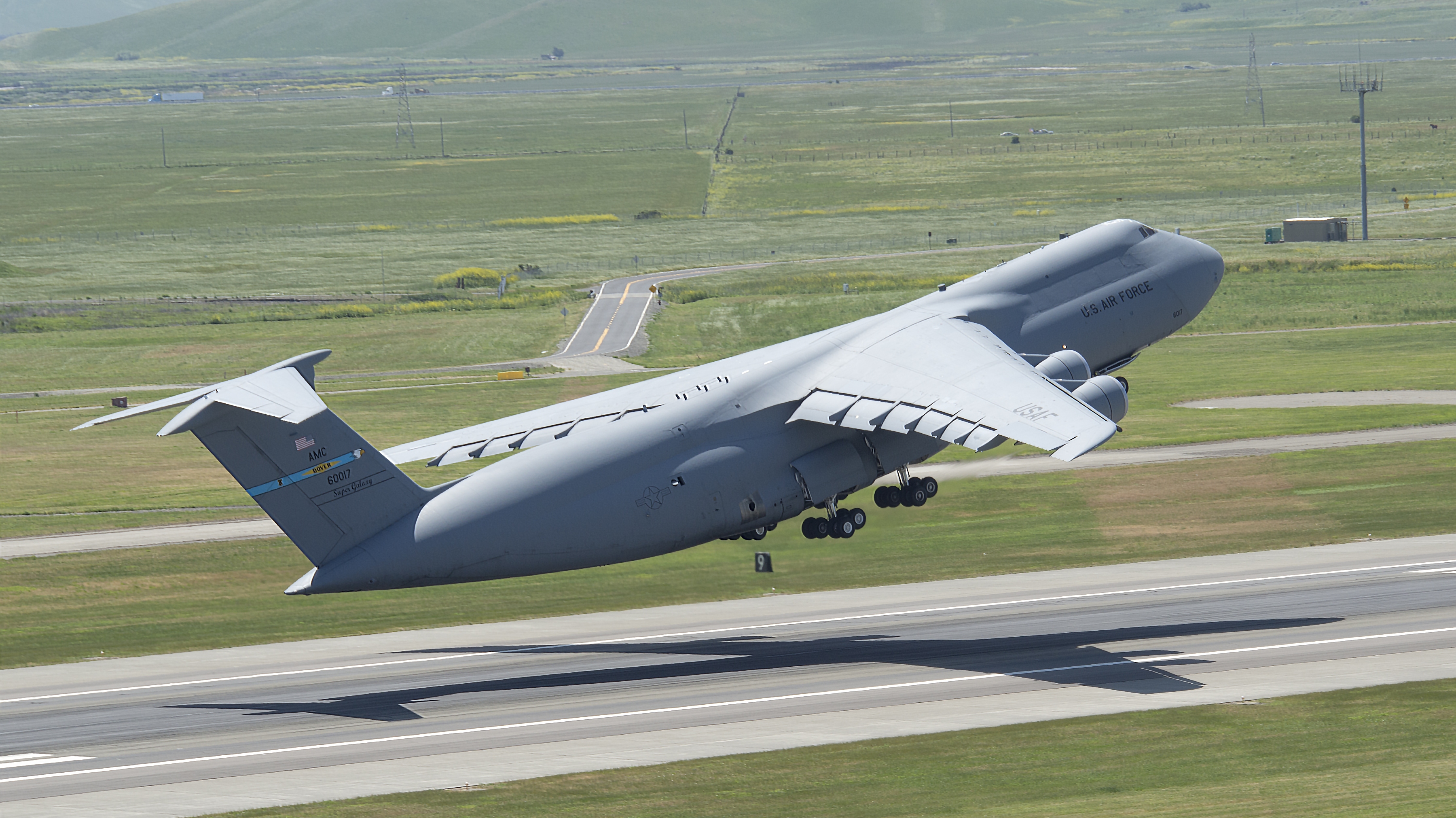
An American Recovery Team arrives soon after and on 23 June 1989 they relocate the craft and aliens to Wright-Patterson AFB (USA) in two C-5 Galaxy Transports and in turn provide the South Africans with some type of advanced technology. Apparently the aliens where kept refrigerated to keep them calm
C-5 Galaxy Transport (click for larger image)
It is also believed that the South Africans did not divulge that there was a third alien and it was hidden from the US team. Some believe that the third alien was actually alive
The aesthetics of the SAAF Intelligence Report
The SADF and SAAF emblems used in the Intelligence report appear correct
The SAAF Intelligence Report (click for larger image)South African Defense Force (SADF) EmblemSouth African Air Force (SAAF) Emblem
The dates, times and units of measure are correct per South African
standards
Case History from the SAAF Intelligence Report (click for larger image)
The units of measure used include both South African metric and US
Imperial standards (verifying the belief that the South African’s and
American’s collaborated on this project)
Craft Specifications from the SAAF Intelligence Report (click for larger image)
The craft and aliens depicted are almost 100% identical to those witnessed by Patrol Officer Lonnie Zamora in Socorro, New Mexico with the exception that the emblem on the two craft differed slightly and only one of the landing gear was deployed.
Craft and Aliens from the SAAF Intelligence Report (click for larger image)Patrol Officer Lonnie Zamora – Socorro, New Mexico
Important background/historical information
On 22 September 1979 a US Vela satellite detects a nuclear explosion South East of South Africa in the region around the Crozet Islands in the Indian Ocean. It has been theorized that the flash was the result of an undeclared nuclear test carried out jointly by South Africa and Israel
US Vela SatelliteNuclear Explosion at Sea
The South African Atomic Energy Board (AEB) also selected a nuclear
test site in the Kalahari Desert at the Vastrap weapons range. Two test shafts were completed in 1976 and 1977
Vastrap Weapons Range (click for larger image)
It is also theorized that the downed 1989 UFO and aliens where taken
to Camp 13 located in the Kalahari Desert near to the impact site
I have discovered what appear to be aerial craft impact trenches and
runways or roads that end in the middle of nowhere or against hillsides
deep in the Kalahari Desert (could these be indications of downed craft
and hidden military bases?)
Aerial craft impact trenches deep in the Kalahari Desert (click for larger image)Runways that end in the middle of nowhere or against hillsides deep in the Kalahari Desert (click for larger image)
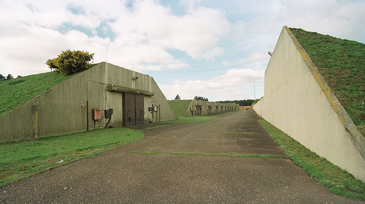
Numerous UFO’s have spotted over nuclear facilities, e.g. Rendlesham Forest, RAF Woodbridge
RAF Woodbridge Bunkers covered in grass (click for larger image)
I have also discovered both ancient “Nazca” geoglyph-type patterns/lines and ruins in the Kalahari Desert
“Nazca” geoglyph-type patterns/lines and ruins in the Kalahari Desert (click for larger image)
Numerous UFO sightings have occurred at similar sites and ruins worldwide
UFO researcher and investigator Anthony Dodd (retired police sergeant) did extensive research and investigation into this incident and an interview as well as the SAAF Intelligence Report appeared in a magazine publication of Quest Publications. Mr. Dodd passed away on 24 March 2009 after a long fight with illness. Thank you for your dedication and contribution.
UFO researcher and investigator Anthony Dodd (retired police sergeant)UFO researcher and investigator Anthony Dodd (retired police sergeant)
Two independent researchers, Dr. J.J. Hurtak (American ufologist and
Professor of Science) and J. Von Buttlara (a German researcher) conducted their own enquiries and both came to the conclusion that a crash landing had indeed taken place in the Kalahari Desert
Dr. J.J. Hurtak (American ufologist and Professor of Science)
Important background/historical information
Apparently there is a printed photocopy of a response to a query from Wright-Patterson Air Force Base that refers to a satellite re-entry
on 7th May 1989 and a confirmation of a “fireball or satellite re-entry”
in the same area on 7th May 1989
Wright-Patterson Air Force Base (click for larger image)
The incident was also confirmed by Dithoko Seiso, Botswana’s Environment Minister in a 1993 report in the Cape Town based newspaper called “The Argus.” It is believed that “The Argus” replied as follows to an attempt to obtain further information about the article: “The file has been borrowed and is now missing.”
I have requested a copy of the article from The Argus and am still waiting for a reply.
Flag of Botswana
A look at the bearings, dates and times of the incident in Google Earth
Calculations using the locations, bearings and timeframes specified in the SAAF Intelligence Report as well as the known speed of the two Mirage Jet Fighters and the UFO show the events described may actually have occurred
Bearings, locations, times and distances as stated in the SAAF Intelligence Reports (click for larger image)
My Conclusion
The data and information presented in the SAAF Intelligence Report appears feasible
Furthermore, based on this finding and all the supporting evidence I am convinced that the 1989 Kalahari UFO Incident more than likely did happened
The evidence is very compelling and this incident deserves further investigation
My intention is only to share what I’ve discovered and not to convince anyone that there are aliens visiting Earth or that our Military is actually involved with this phenomena.
As Will Farrar from WhatsUpInTheSky says: “I see what I see, you see what you see.”
The photograph analyzed here (ESP_058196_1280) was taken by NASA’s Mars Reconnaissance Orbiter on 26 December 2018 and is described as ‘Gullies in Galle.’
I found some rather strange ‘dust devil’ tracks that don’t appear to be natural, i.e. the ‘tracks’ consist of multiple circular rings with same size, shape and spaced equally apart. Also, yet another disc-shaped object in the middle of nowhere.
An elevated view of this site being analyzed (click for larger image)Zoomed out, not to scale (click for larger image)Click for original image at 1:1 scaleClick for original image at 1:1 scale – here I have ‘repaired’ the damage to clear-up the imageZoomed out, not to scale (click for larger image)Click for original image at 1:1 scaleZoomed out, not to scale (click for larger image)Click for original image at 1:1 scaleZoomed out, not to scale (click for larger image)Click for original image at 1:1 scaleZoomed out, not to scale (click for larger image)Click for original image at 1:1 scale
Images saved from within HiView or CTX viewer do not include image scale indicators. The image scale indicators I include in images are based on the official resolutions provided by NASA and although I strive to be as accurate as possible there may be slight deviations from the actual scale. Image scale indicators are included as a size approximation tool only.
Geometry lines are mapped as accurately as possible using the limited information, data and mapping tools available at the time, therefore the lines may deviate from target sites by a few kilometres. Revisions may be made in the future as new, more precise information, data and mapping tools become available.
Many or all of the anomalies/artefacts covered in this presentation may be naturally occurring geological features caused by some type of geological processes, however due to the lack of specific information from the source we can only speculate whether these are all natural or some artificial in nature.
In cases where I say an anomaly looks like something I’m attempting to clarify what I see and not specifically that the anomaly is what I say it looks like.
My intention is only to share anomalies I’ve discovered on Mars and not to convince anyone that there is or was a civilization on Mars.
As Will Farrar from WhatsUpInTheSky says: “I see what I see, you see what you see.”
The photograph analyzed here (ESP_057887_1265) was taken by NASA’s Mars Reconnaissance Orbiter on 02 December 2018 and is described as ‘Monitoring Dust Devil Tracks.’
Here I feature what look like two saucer-shaped craft, not unlike classic UFO’s with domes on top. There is also what appears to be an underground entrance-way or hatch with vent as well as a pyramidal-shaped obelisk.
An elevated view of this site being analyzed (click for larger image)Click for original image at 1:1 scaleClick for original image at 1:1 scaleClick for original image at 1:1 scaleClick for original image at 1:1 scaleClick for original image at 1:1 scale
Images saved from within HiView or CTX viewer do not include image scale indicators. The image scale indicators I include in images are based on the official resolutions provided by NASA and although I strive to be as accurate as possible there may be slight deviations from the actual scale. Image scale indicators are included as a size approximation tool only.
Geometry lines are mapped as accurately as possible using the limited information, data and mapping tools available at the time, therefore the lines may deviate from target sites by a few kilometres. Revisions may be made in the future as new, more precise information, data and mapping tools become available.
Many or all of the anomalies/artefacts covered in this presentation may be naturally occurring geological features caused by some type of geological processes, however due to the lack of specific information from the source we can only speculate whether these are all natural or some artificial in nature.
In cases where I say an anomaly looks like something I’m attempting to clarify what I see and not specifically that the anomaly is what I say it looks like.
My intention is only to share anomalies I’ve discovered on Mars and not to convince anyone that there is or was a civilization on Mars.
As Will Farrar from WhatsUpInTheSky says: “I see what I see, you see what you see.”
The photograph analyzed here (ESP_057808_1335) was taken by NASA’s Mars Reconnaissance Orbiter on 25 November 2018 and is described as ‘Mid-Latitude Terrain Sample.’
Just like the triangular block I found in Charitum Montes and Green Crater, this triangular block in Promethei Terra is the same in size and design.
What are the odds of finding three almost identical blocks in Promethei Terra, Charitum Montes and Green Crater?
I speculate intelligent design is at play here, once again!
An elevated view of this site being analyzed (click for larger image)
Colour images:
The following images were cropped from the RGB Colour None-Map Projected JP2:
Original image at 1:1 scale (click for larger image)Original image at 1:1 scale (click for larger image)Original image at 1:1 scale (click for larger image)Original image at 1:1 scale (click for larger image)Original image at 1:1 scale (click for larger image)
Black and White images:
The following images were cropped from the Black and White Map Projected JP2:
Original image at 1:1 scale (click for larger image)Original image at 1:1 scale (click for larger image)Original image at 1:1 scale (click for larger image)Original image at 1:1 scale (click for larger image)Original image at 1:1 scale (click for larger image)Original image at 1:1 scale (click for larger image)Original image at 1:1 scale (click for larger image)Original image at 1:1 scale (click for larger image)Original image at 1:1 scale (click for larger image)Original image at 1:1 scale (click for larger image)Original image at 1:1 scale (click for larger image)Original image at 1:1 scale (click for larger image)Original image at 1:1 scale (click for larger image)
Images saved from within HiView or CTX viewer do not include image scale indicators. The image scale indicators I include in images are based on the official resolutions provided by NASA and although I strive to be as accurate as possible there may be slight deviations from the actual scale. Image scale indicators are included as a size approximation tool only.
Geometry lines are mapped as accurately as possible using the limited information, data and mapping tools available at the time, therefore the lines may deviate from target sites by a few kilometres. Revisions may be made in the future as new, more precise information, data and mapping tools become available.
Many or all of the anomalies/artefacts covered in this presentation may be naturally occurring geological features caused by some type of geological processes, however due to the lack of specific information from the source we can only speculate whether these are all natural or some artificial in nature.
In cases where I say an anomaly looks like something I’m attempting to clarify what I see and not specifically that the anomaly is what I say it looks like.
My intention is only to share anomalies I’ve discovered on Mars and not to convince anyone that there is or was a civilization on Mars.
As Will Farrar from WhatsUpInTheSky says: “I see what I see, you see what you see.”
The photograph analyzed here (ESP_029573_1225) was taken by NASA’s Mars Reconnaissance Orbiter on 16 November 2012 and is described as ‘Possible Olivine and Pyroxene-Rich Flows in Terra Sirenum.’
An elevated view of this site being analyzed (click for larger image)An elevated view of this site being analyzed (click for larger image)
Just discovered, three almost identical rectangular base blocks with long barrow monoliths/obelisks standing up straight on each one. From the shadows they cast I estimate the height of each of the standing monoliths to be between 6 and 8 meters tall.
Another three almost perfectly matching circular discs, also very similar to one found by Rover Spirit over at ‘Home Plate:’
Stone disk, Rover Spirit – ‘Home Plate’ (click for larger image)
Oddly the discovery of two very similar ‘out-post’-type structures, one here and another 1000’s of km away in Kotka crater:
Kotka Crater ‘out-post’-type structure: Original image at 1:1 scale (click for larger image)
Black and White images:
The following images were cropped from the Black and White Map Projected JP2:
Original image at 1:1 scale (click for larger image)Original image at 1:1 scale (click for larger image)Original image at 1:1 scale (click for larger image)Original image at 1:1 scale (click for larger image)Original image at 1:1 scale (click for larger image)Original image at 1:1 scale (click for larger image)Original image at 1:1 scale (click for larger image)Original image at 1:1 scale (click for larger image)Original image at 1:1 scale (click for larger image)Original image at 1:1 scale (click for larger image)Original image at 1:1 scale (click for larger image)Original image at 1:1 scale (click for larger image)Original image at 1:1 scale (click for larger image)
Colour images:
The following images were cropped from the RGB Colour None-Map Projected JP2:
Original image at 1:1 scale (click for larger image)
Images saved from within HiView or CTX viewer do not include image scale indicators. The image scale indicators I include in images are based on the official resolutions provided by NASA and although I strive to be as accurate as possible there may be slight deviations from the actual scale. Image scale indicators are included as a size approximation tool only.
Geometry lines are mapped as accurately as possible using the limited information, data and mapping tools available at the time, therefore the lines may deviate from target sites by a few kilometres. Revisions may be made in the future as new, more precise information, data and mapping tools become available.
Many or all of the anomalies/artefacts covered in this presentation may be naturally occurring geological features caused by some type of geological processes, however due to the lack of specific information from the source we can only speculate whether these are all natural or some artificial in nature.
In cases where I say an anomaly looks like something I’m attempting to clarify what I see and not specifically that the anomaly is what I say it looks like.
My intention is only to share anomalies I’ve discovered on Mars and not to convince anyone that there is or was a civilization on Mars.
As Will Farrar from WhatsUpInTheSky says: “I see what I see, you see what you see.”
It would seem that NASA might be aware of these ancient blocks/ruins and might be searching for further evidence of ancient civilization/s which lived on Mars some time in the past.
Furthermore I have found evidence in Elysium Planitia of what looks like water seeping up to the Martian surface and down slopes. The MRO HiRISE RGB colour photograph also includes blue area’s, is this a coincidence or do they know about liquid water on the surface?
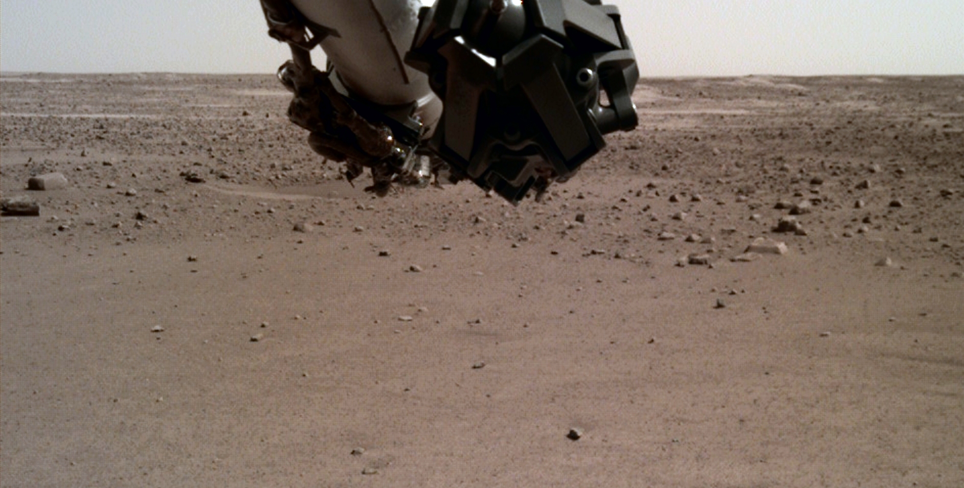
InSight Lander (IDC):
Following are two blocks photographed by InSight Lander on Sol 14:
InSight Lander – Block I (D014L0014_597777870EDR_F0103_0100M) (click for larger image)InSight Lander – Block II (D014L0014_597777870EDR_F0103_0100M) (click for larger image)
Rover Curiosity (MCAM):
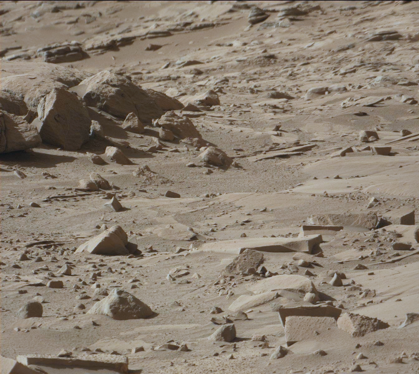
Following are several blocks photographed by Rover Curiosity on Sol 618:
Rover Curiosity – Several Blocks (0618MR0026010370401306E01_DXXX) (click for larger image)
MRO (HiRISE):
An elevated view of this site being analyzed (click for larger image)An elevated view of this site being analyzed (click for larger image)
Colour images:
The following images were cropped from the RGB Colour None-Map Projected JP2:
Original image at 1:1 scale (click for larger image)Original image at 1:1 scale (click for larger image)Original image at 1:1 scale (click for larger image)Original image at 1:1 scale (click for larger image)Original image at 1:1 scale (click for larger image)Original image at 1:1 scale (click for larger image)Original image at 1:1 scale (click for larger image)Original image at 1:1 scale (click for larger image)Original image at 1:1 scale (click for larger image)Original image at 1:1 scale (click for larger image)Original image at 1:1 scale (click for larger image)Original image at 1:1 scale (click for larger image)Original image at 1:1 scale (click for larger image)Original image at 1:1 scale (click for larger image)Original image at 1:1 scale (click for larger image)Original image at 1:1 scale (click for larger image)Original image at 1:1 scale (click for larger image)Original image at 1:1 scale (click for larger image)Original image at 1:1 scale (click for larger image)Original image at 1:1 scale (click for larger image)Original image at 1:1 scale (click for larger image)Original image at 1:1 scale (click for larger image)Original image at 1:1 scale (click for larger image)Original image at 1:1 scale (click for larger image)Original image at 1:1 scale (click for larger image)Original image at 1:1 scale (click for larger image)Original image at 1:1 scale (click for larger image)Original image at 1:1 scale (click for larger image)Original image at 1:1 scale (click for larger image)Original image at 1:1 scale (click for larger image)Original image at 1:1 scale (click for larger image)Original image at 1:1 scale (click for larger image)Original image at 1:1 scale (click for larger image)Original image at 1:1 scale (click for larger image)Original image at 1:1 scale (click for larger image)Original image at 1:1 scale (click for larger image)Original image at 1:1 scale (click for larger image)Original image at 1:1 scale (click for larger image)Original image at 1:1 scale (click for larger image)Original image at 1:1 scale (click for larger image)Original image at 1:1 scale (click for larger image)Original image at 1:1 scale (click for larger image)Original image at 1:1 scale (click for larger image)Original image at 1:1 scale (click for larger image)Original image at 1:1 scale (click for larger image)Original image at 1:1 scale (click for larger image)Original image at 1:1 scale (click for larger image)Original image at 1:1 scale (click for larger image)Original image at 1:1 scale (click for larger image)Original image at 1:1 scale (click for larger image)Original image at 1:1 scale (click for larger image)Original image at 1:1 scale (click for larger image)Original image at 1:1 scale (click for larger image)Original image at 1:1 scale (click for larger image)Original image at 1:1 scale (click for larger image)Original image at 1:1 scale (click for larger image)Original image at 1:1 scale (click for larger image)Original image at 1:1 scale (click for larger image)
Black and White images:
The following images were cropped from the Black and White Map Projected JP2:
Original image at 1:1 scale (click for larger image)Original image at 1:1 scale (click for larger image)Original image at 1:1 scale (click for larger image)Original image at 1:1 scale (click for larger image)Original image at 1:1 scale (click for larger image)Original image at 1:1 scale (click for larger image)
My YouTube video featuring ‘SPECIAL EDITION The NASA/Elysium Ruins of Mars Link – In Colour:’
Subscribe to my YouTube channel and turn on Notifications to receive updates when I upload new video’s.
Images saved from within HiView or CTX viewer do not include image scale indicators. The image scale indicators I include in images are based on the official resolutions provided by NASA and although I strive to be as accurate as possible there may be slight deviations from the actual scale. Image scale indicators are included as a size approximation tool only.
Geometry lines are mapped as accurately as possible using the limited information, data and mapping tools available at the time, therefore the lines may deviate from target sites by a few kilometres. Revisions may be made in the future as new, more precise information, data and mapping tools become available.
Many or all of the anomalies/artefacts covered in this presentation may be naturally occurring geological features caused by some type of geological processes, however due to the lack of specific information from the source we can only speculate whether these are all natural or some artificial in nature.
In cases where I say an anomaly looks like something I’m attempting to clarify what I see and not specifically that the anomaly is what I say it looks like.
My intention is only to share anomalies I’ve discovered on Mars and not to convince anyone that there is or was a civilization on Mars.
As Will Farrar from WhatsUpInTheSky says: “I see what I see, you see what you see.”
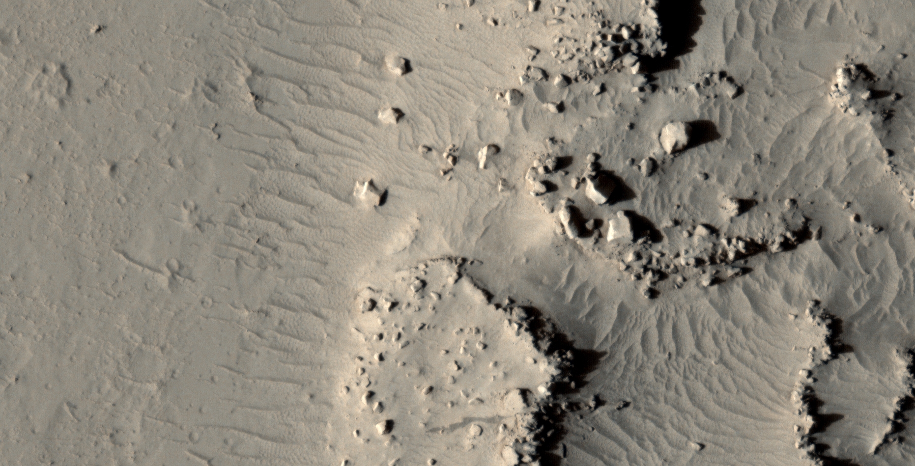
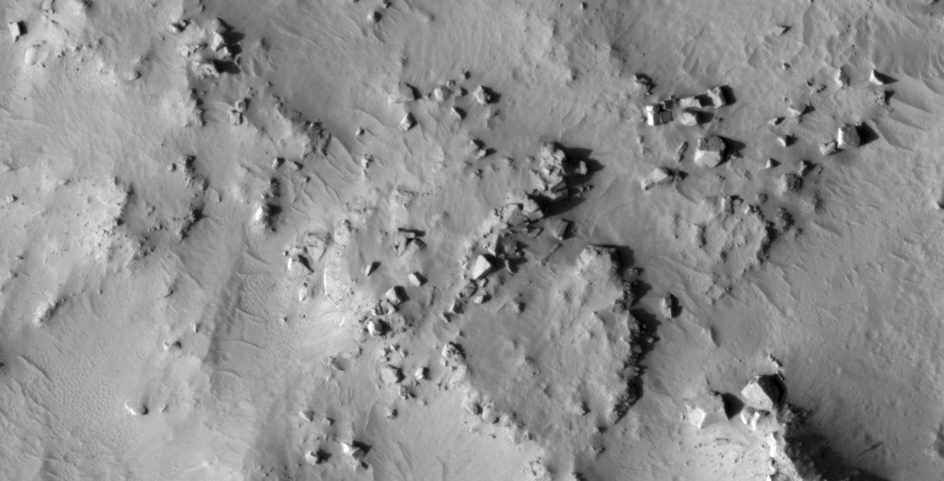
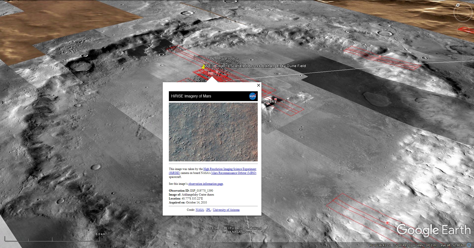
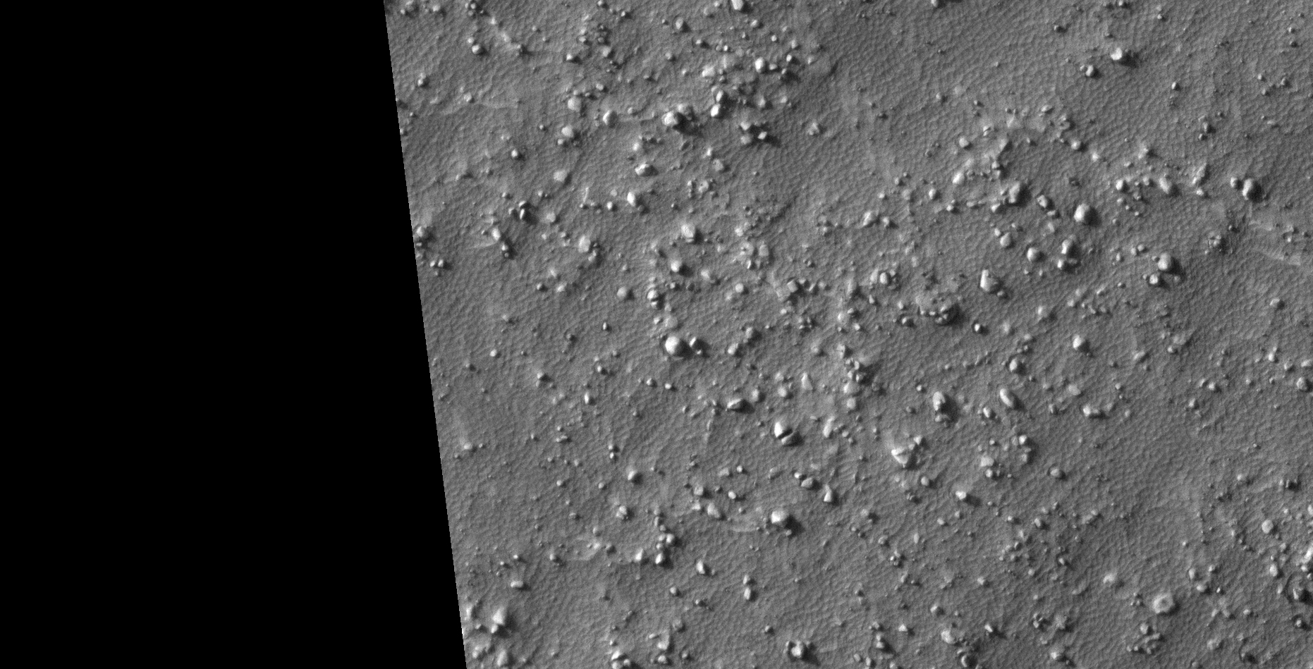
The photograph analyzed here (ESP_019770_1390) was taken by NASA’s Mars Reconnaissance Orbiter on 14 October 2010 and is described as ‘Arkhangelsky Crater Dunes.’
Scattered across this area are what appear to be geometric objects ranging from triangular, saucer-shaped, pyramidal and flat disc-shapes.
I have also discovered similar artefacts in other HiRISE photographs.
An elevated view of this site being analyzed (click for larger image)An elevated view of this site being analyzed (click for larger image)Original image at 1:1 scale (click for larger image)Original image at 1:1 scale (click for larger image)Original image at 1:1 scale (click for larger image)Original image at 1:1 scale (click for larger image)Original image at 1:1 scale (click for larger image)Original image at 1:1 scale (click for larger image)Original image at 1:1 scale (click for larger image)
Images saved from within HiView or CTX viewer do not include image scale indicators. The image scale indicators I include in images are based on the official resolutions provided by NASA and although I strive to be as accurate as possible there may be slight deviations from the actual scale. Image scale indicators are included as a size approximation tool only.
Geometry lines are mapped as accurately as possible using the limited information, data and mapping tools available at the time, therefore the lines may deviate from target sites by a few kilometres. Revisions may be made in the future as new, more precise information, data and mapping tools become available.
Many or all of the anomalies/artefacts covered in this presentation may be naturally occurring geological features caused by some type of geological processes, however due to the lack of specific information from the source we can only speculate whether these are all natural or some artificial in nature.
In cases where I say an anomaly looks like something I’m attempting to clarify what I see and not specifically that the anomaly is what I say it looks like.
My intention is only to share anomalies I’ve discovered on Mars and not to convince anyone that there is or was a civilization on Mars.
As Will Farrar from WhatsUpInTheSky says: “I see what I see, you see what you see.”
Yet further evidence of what appears to be a structure with a knob, small dome or feature in the center, this time on an asteroid called Bennu.
The anomaly on Bennu looks very similar to others I have found on Mars. Then there are those megaliths with knobs on Earth.
The odd shape of Bennu also might hold a clue to what it might be … it looks like two cones joined back-to-back in the shape of a top. When viewed from above it probably appears round. Could Bennu be an ancient craft or structure of some type?
Could this perhaps be evidence that the Ancient Builder Race exists and that they erected structures on the Moons and Planets throughout the solar system?
An animation of all the frames taken of the ‘asteroid’ Credit: NASA
A closer look at Bennu:
Images will be uploaded here within the next day or two.
The anomaly located to the left of the ‘asteroid’ Credit: NASA (click for larger image)The anomaly located to the center of the ‘asteroid’ Credit: NASA (click for larger image)The anomaly located to the right of the ‘asteroid’ Credit: NASA (click for larger image)
Examples of similar structures found on Mars:
There are many examples of similar anomalies I discovered on Mars, below are just a select few for comparison (the geometry and size are almost a perfect match):
ESP_019094_2255 (click for larger image)ESP_022797_1370 (click for larger image)ESP_013864_1220 (click for larger image)
Below is the one of the strangest, similar structures I found on Mars:
ESP_013864_1220 (click for larger image)
Examples of similar structures found on Earth:
Close examination of the megalithic blocks on Mars show that most have small knobs, not unlike those found on Earth. Researchers studying ancient ruins on Earth are perplexed about the presence of the knobs found on most megaliths making up these ancient structures.
Vilcabamba: The ‘lost’ megalithic city of the inca. Source: ancient-code.comKnobs at Cuzco, PeruKnobs at Menkaure’s pyramid, Egypt
Images saved from within HiView or CTX viewer do not include image scale indicators. The image scale indicators I include in images are based on the official resolutions provided by NASA and although I strive to be as accurate as possible there may be slight deviations from the actual scale. Image scale indicators are included as a size approximation tool only.
Geometry lines are mapped as accurately as possible using the limited information, data and mapping tools available at the time, therefore the lines may deviate from target sites by a few kilometres. Revisions may be made in the future as new, more precise information, data and mapping tools become available.
Many or all of the anomalies/artefacts covered in this presentation may be naturally occurring geological features caused by some type of geological processes, however due to the lack of specific information from the source we can only speculate whether these are all natural or some artificial in nature.
In cases where I say an anomaly looks like something I’m attempting to clarify what I see and not specifically that the anomaly is what I say it looks like.
My intention is only to share anomalies I’ve discovered on Mars and not to convince anyone that there is or was a civilization on Mars.
As Will Farrar from WhatsUpInTheSky says: “I see what I see, you see what you see.”
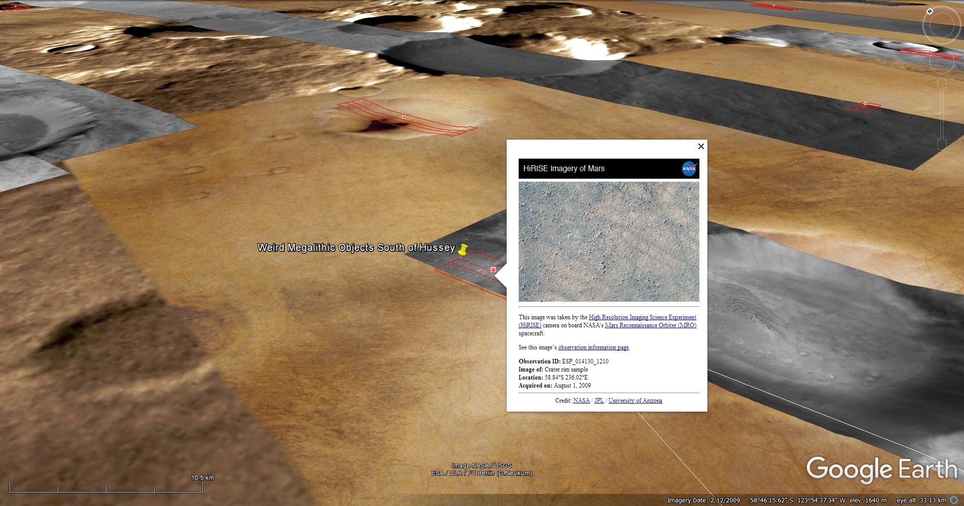
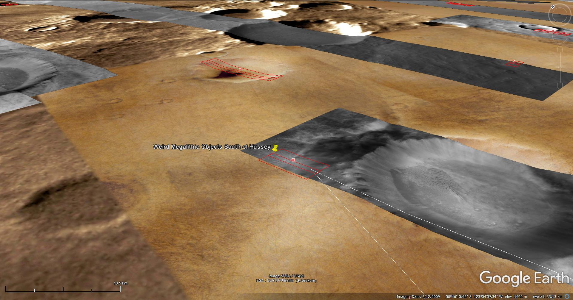
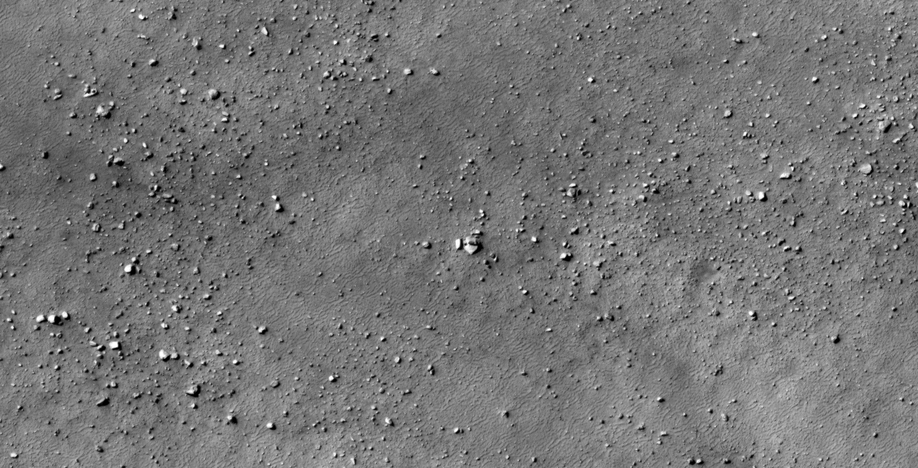
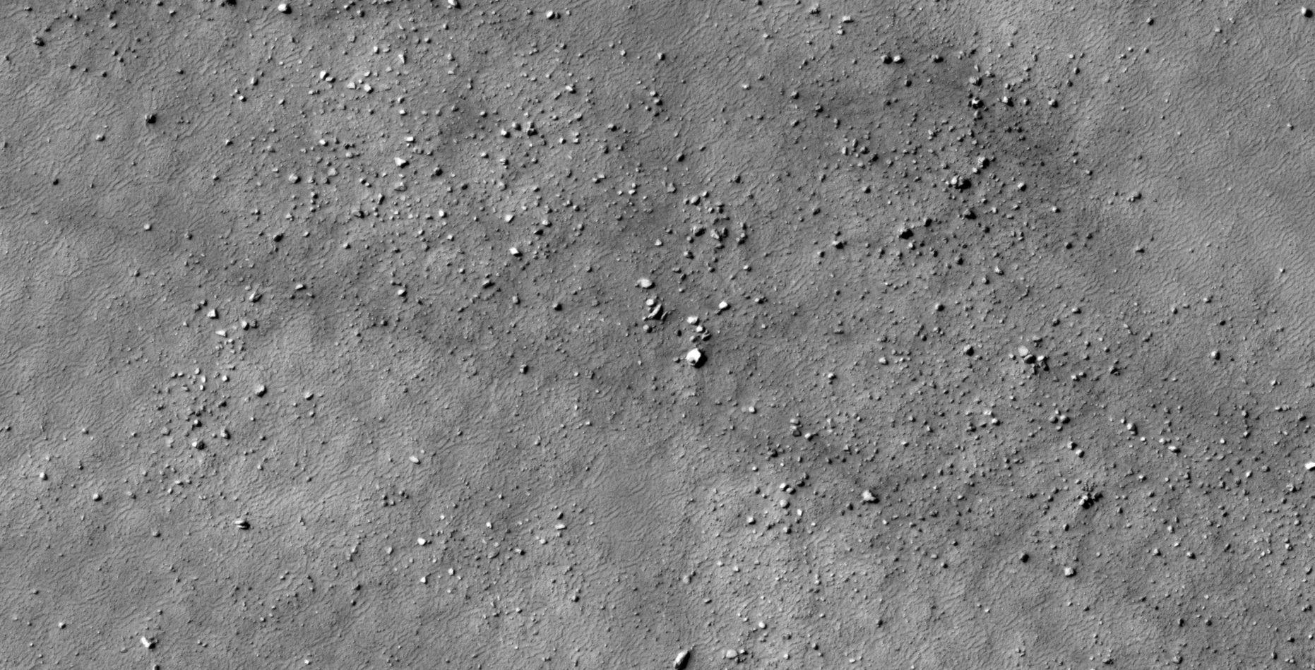
The photograph analyzed here (ESP_014130_1210) was taken by NASA’s Mars Reconnaissance Orbiter on 01 August 2009 and is described as ‘Crater Rim Sample.’
Anomalies found in this photograph appear to be megalithic in nature. Some megaliths hive knobs on them while others have circular holes.
There are also a couple of other objects that look like some type of craft, some what flying saucer shaped.
An elevated view of this site being analyzed (click for larger image)An elevated view of this site being analyzed (click for larger image)(click for larger image)(click for larger image)(click for larger image)(click for larger image)(click for larger image)(click for larger image)(click for larger image)(click for larger image)(click for larger image)(click for larger image)(click for larger image)
Images saved from within HiView or CTX viewer do not include image scale indicators. The image scale indicators I include in images are based on the official resolutions provided by NASA and although I strive to be as accurate as possible there may be slight deviations from the actual scale. Image scale indicators are included as a size approximation tool only.
Geometry lines are mapped as accurately as possible using the limited information, data and mapping tools available at the time, therefore the lines may deviate from target sites by a few kilometres. Revisions may be made in the future as new, more precise information, data and mapping tools become available.
Many or all of the anomalies/artefacts covered in this presentation may be naturally occurring geological features caused by some type of geological processes, however due to the lack of specific information from the source we can only speculate whether these are all natural or some artificial in nature.
In cases where I say an anomaly looks like something I’m attempting to clarify what I see and not specifically that the anomaly is what I say it looks like.
My intention is only to share anomalies I’ve discovered on Mars and not to convince anyone that there is or was a civilization on Mars.
As Will Farrar from WhatsUpInTheSky says: “I see what I see, you see what you see.”