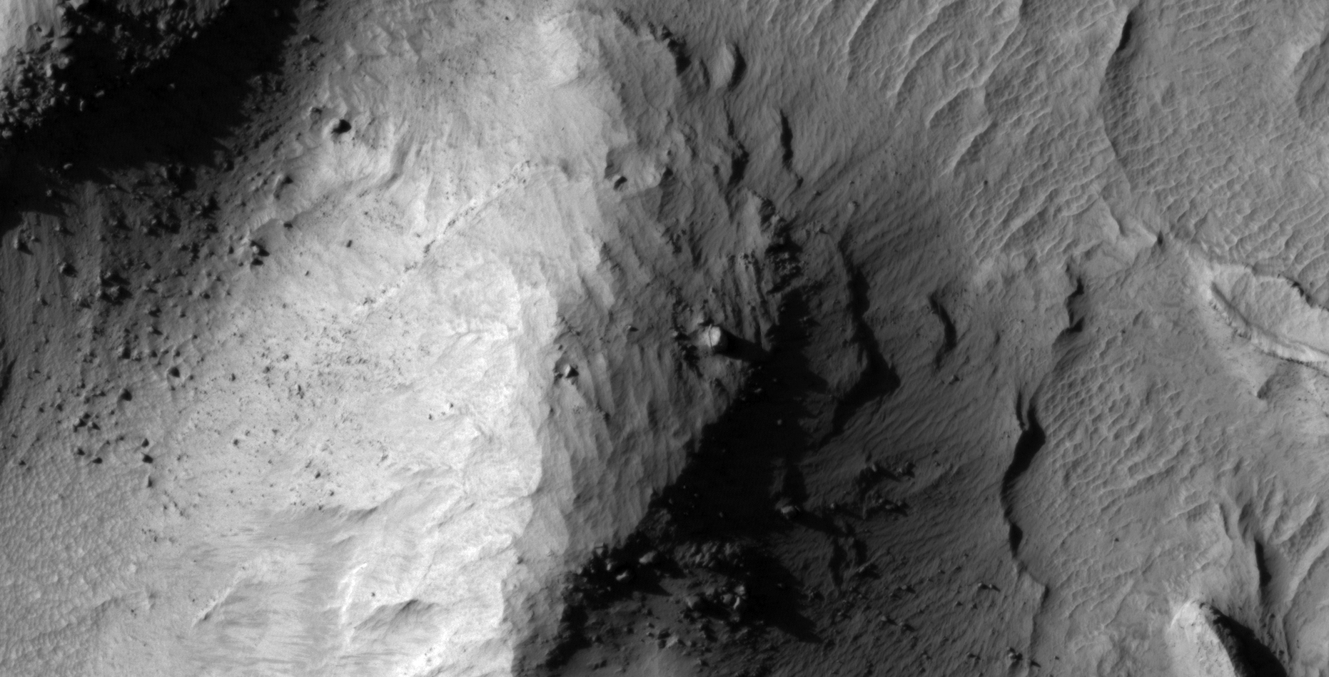
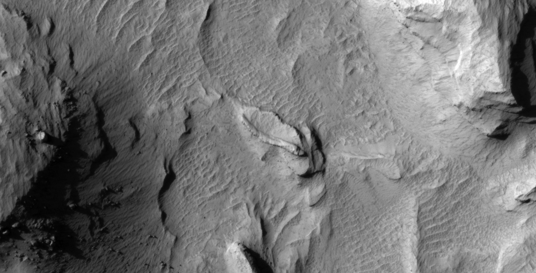
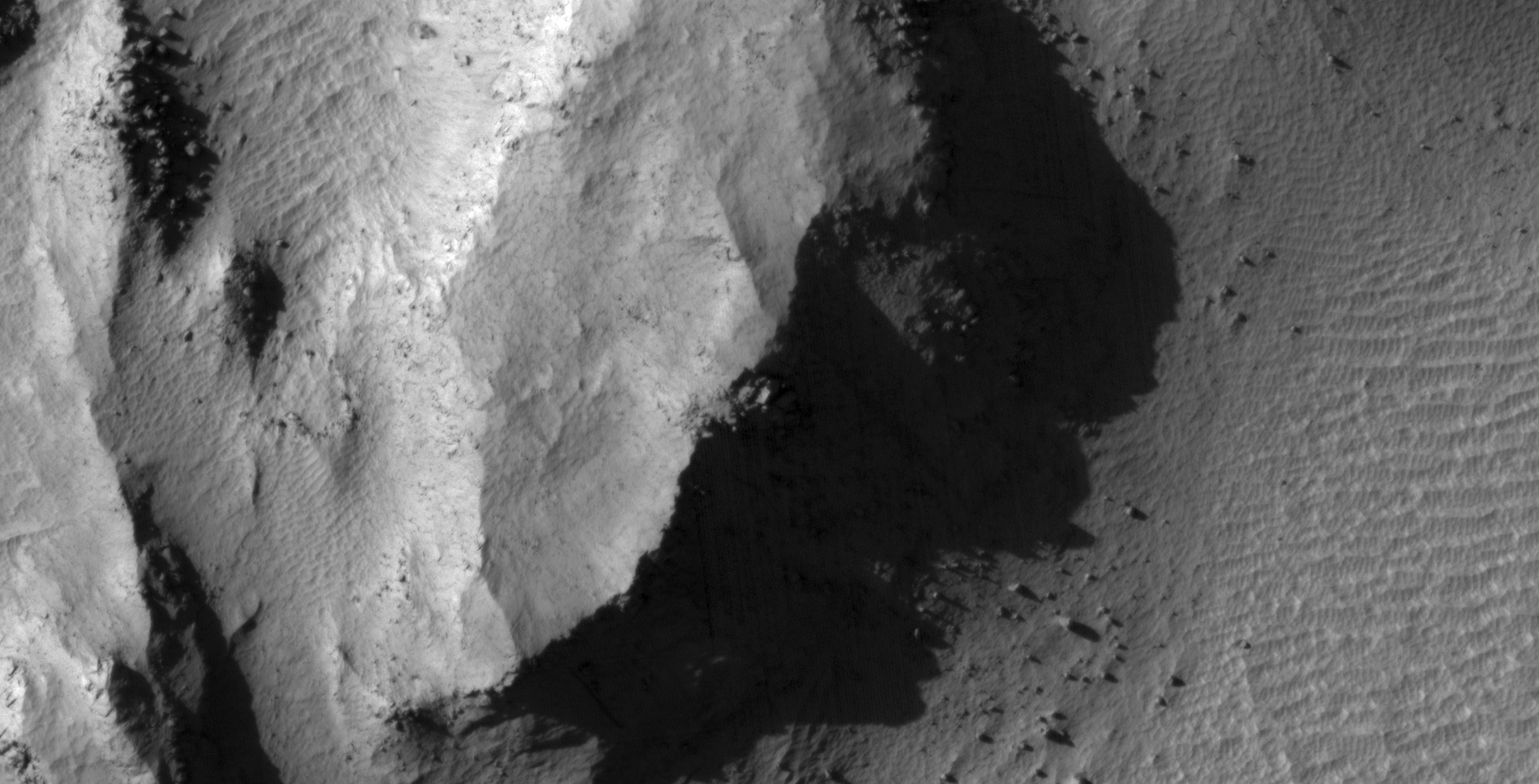
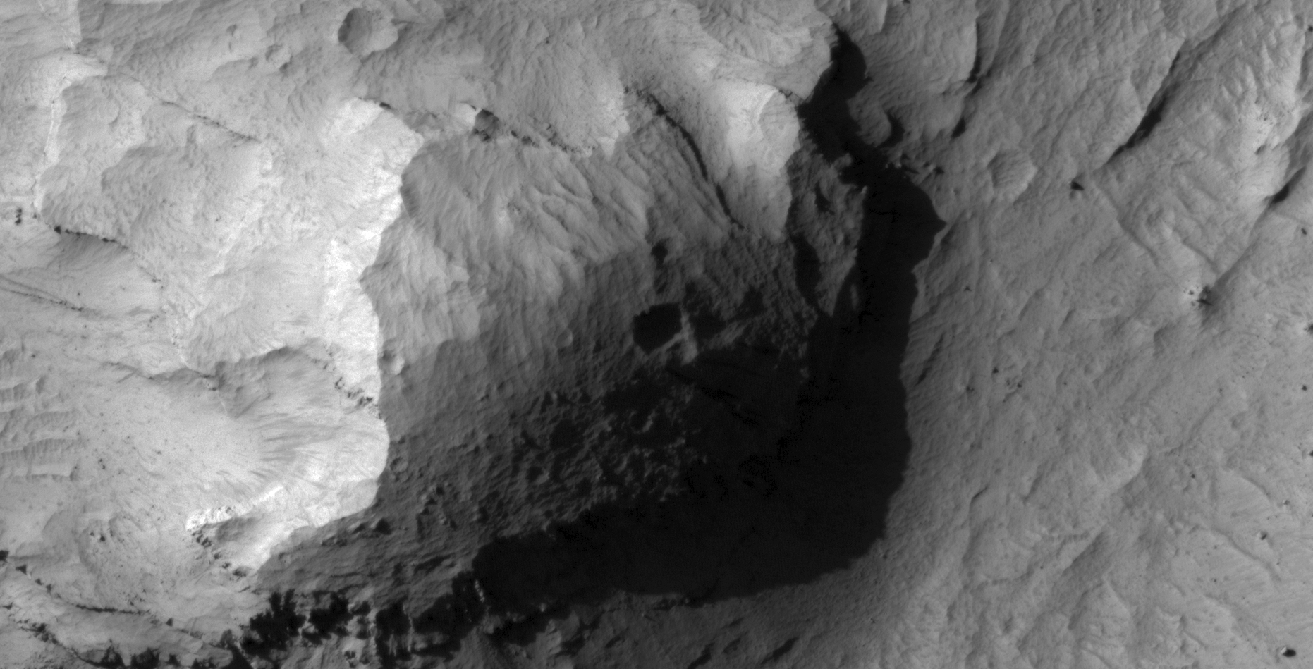
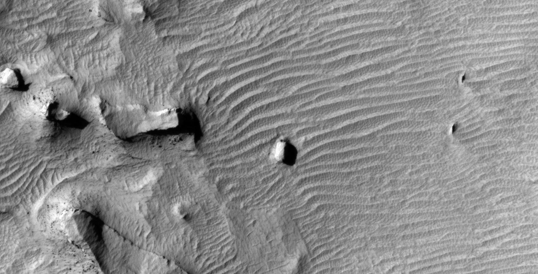
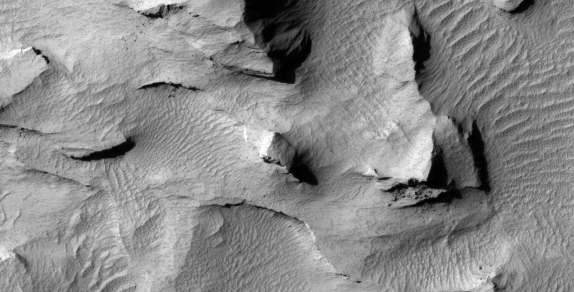
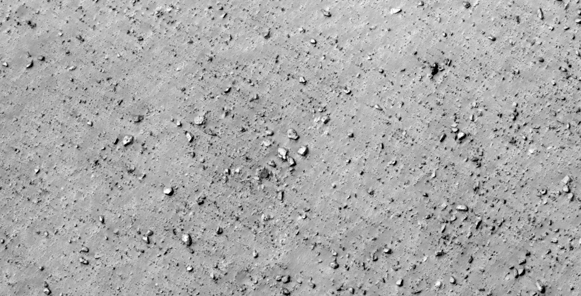
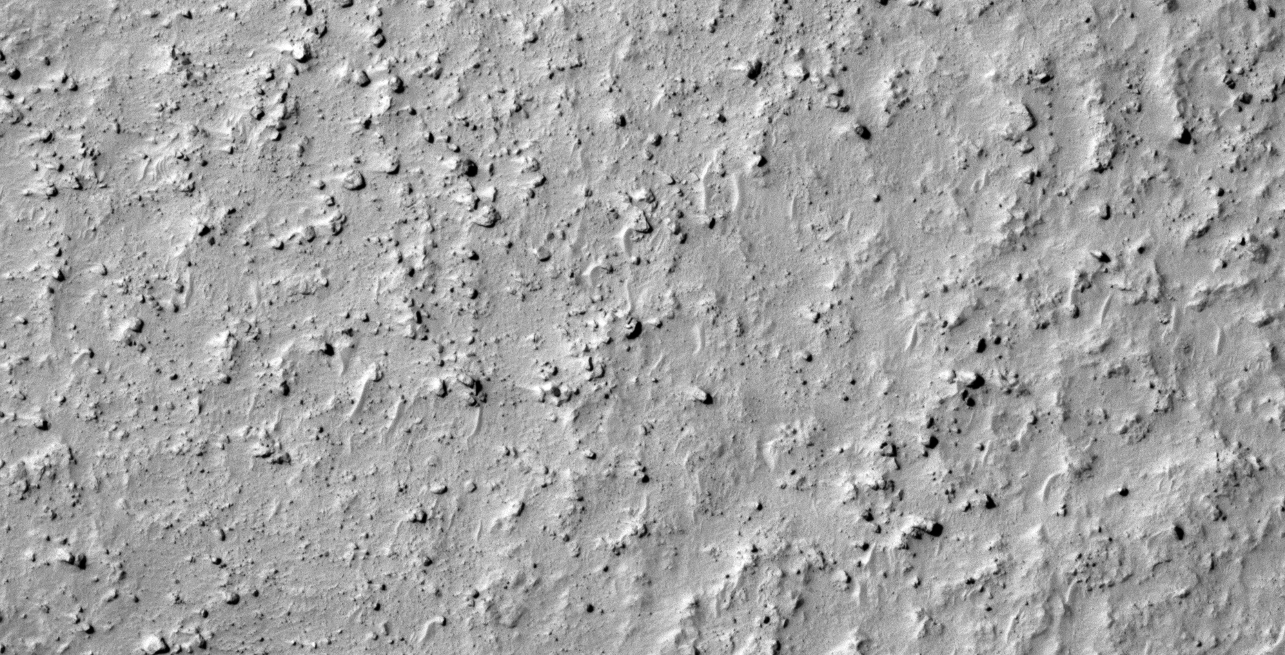
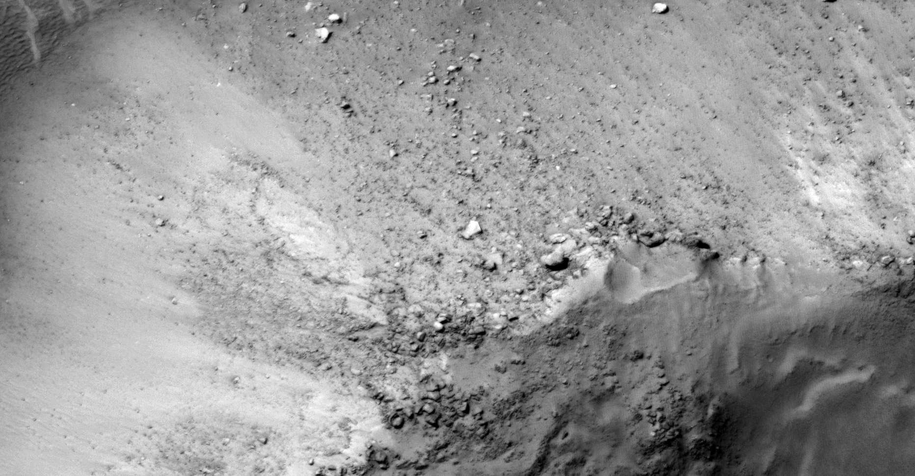
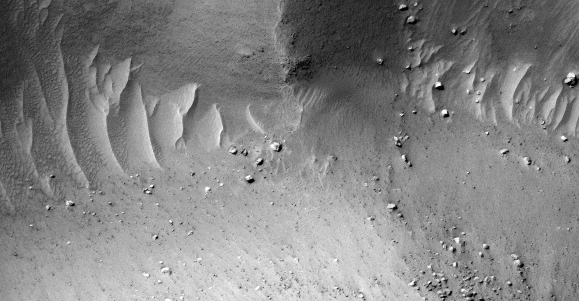
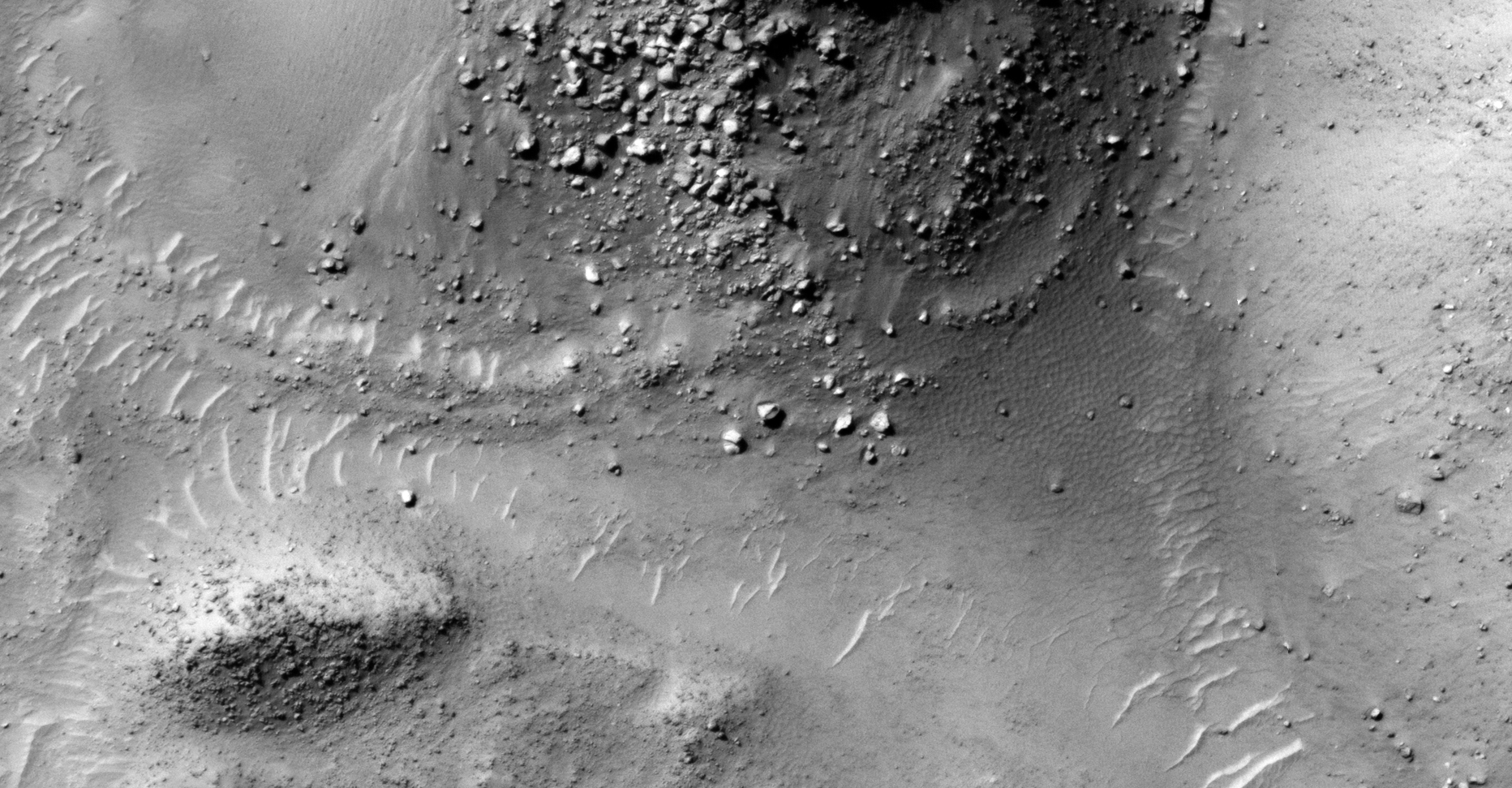
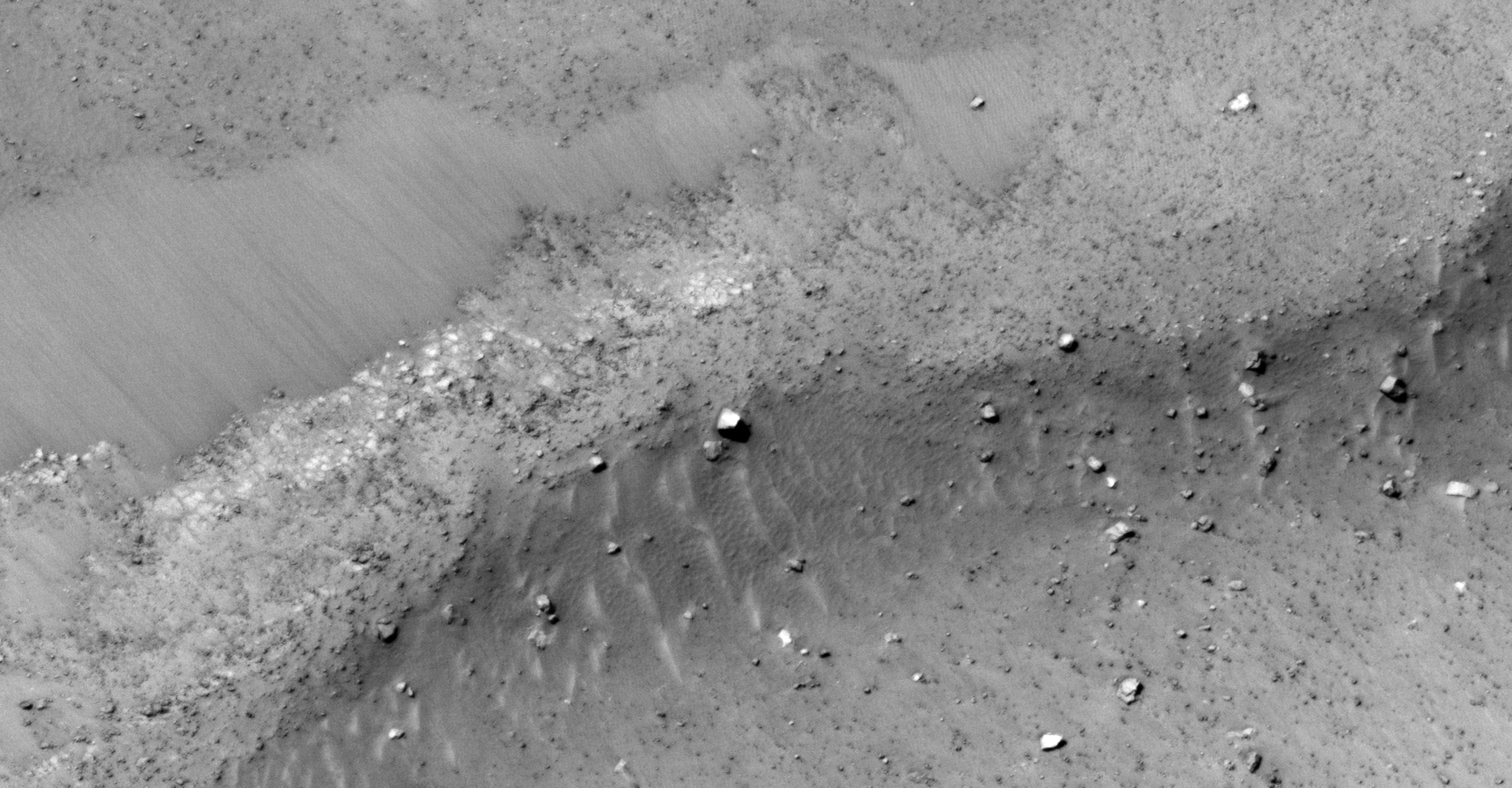
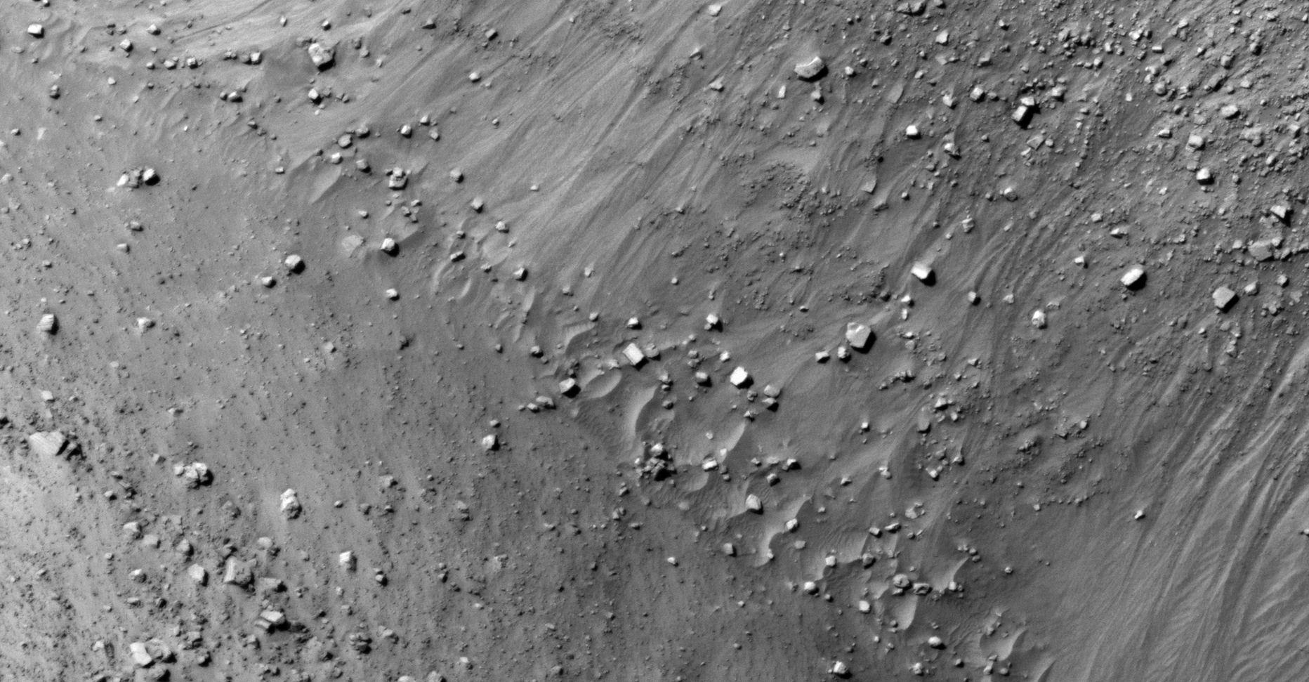
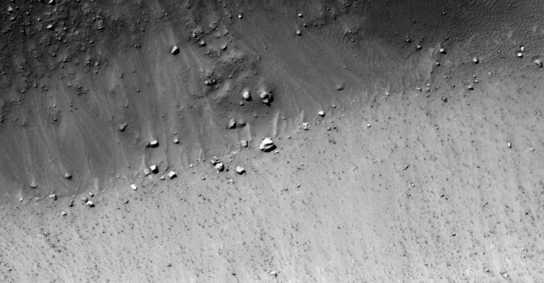
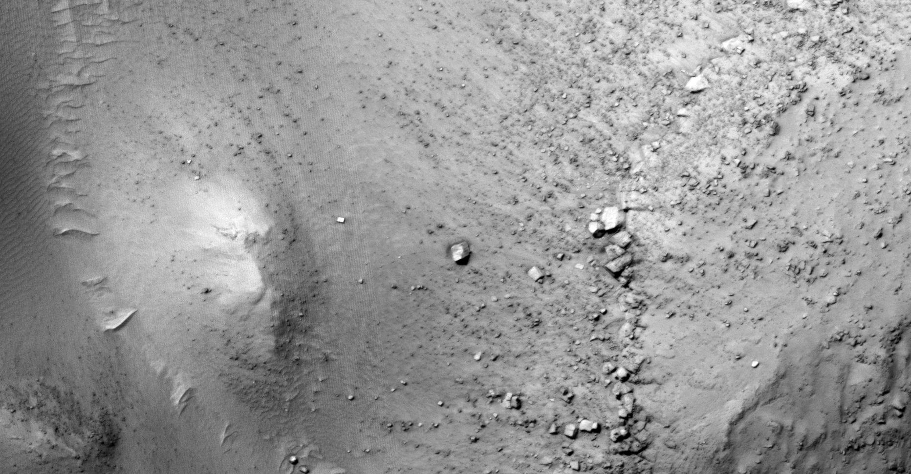
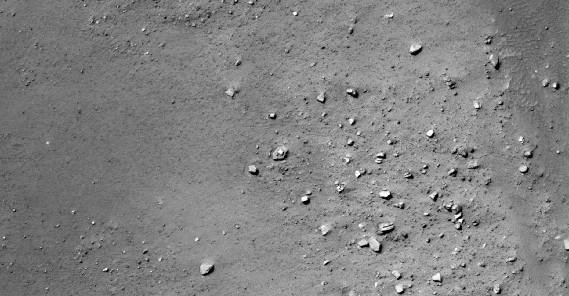
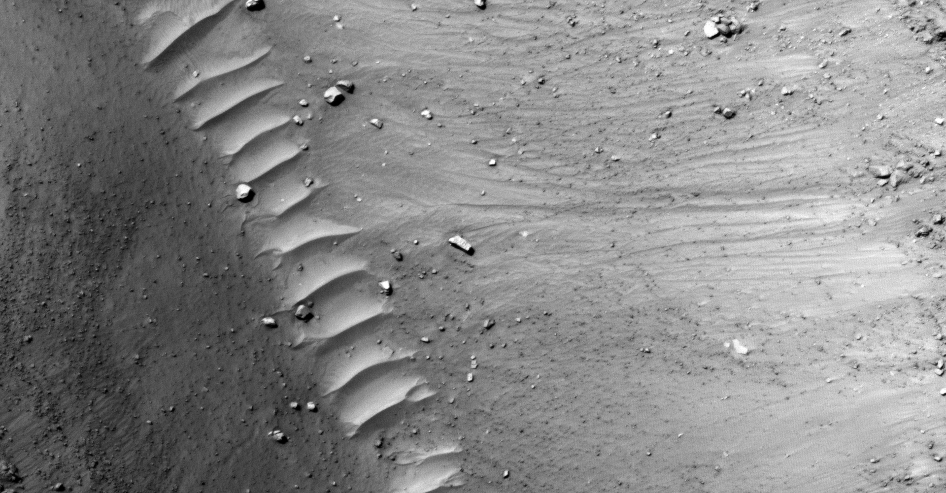
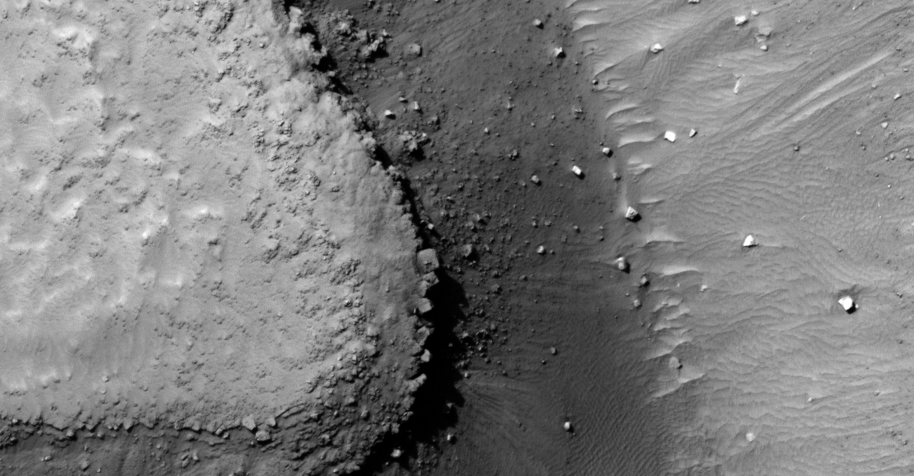
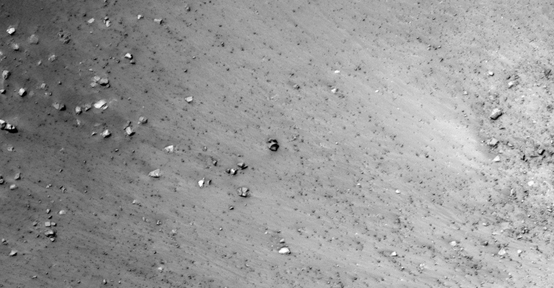
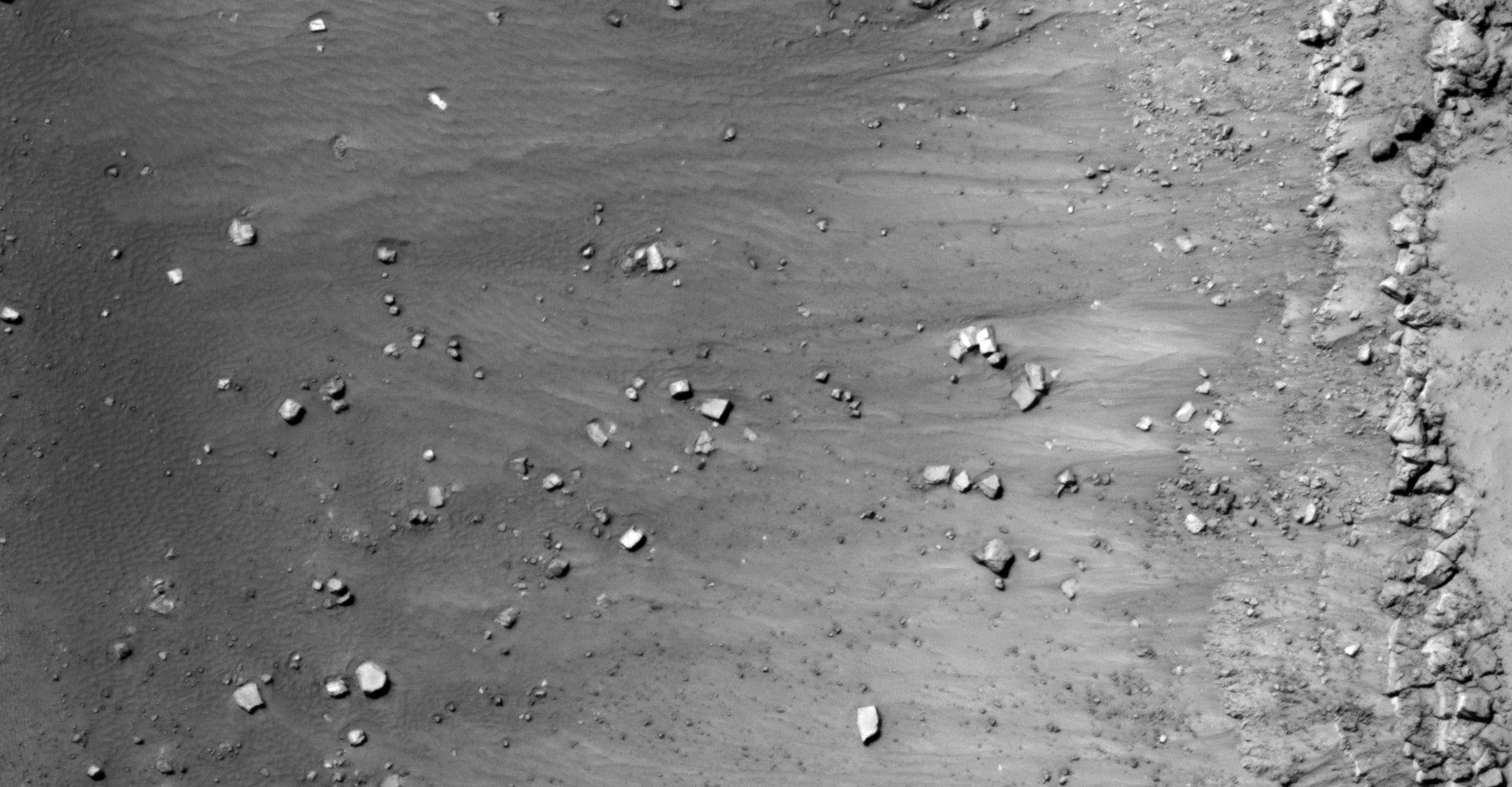
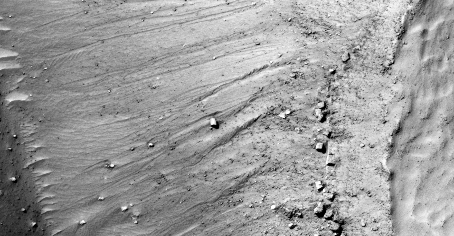
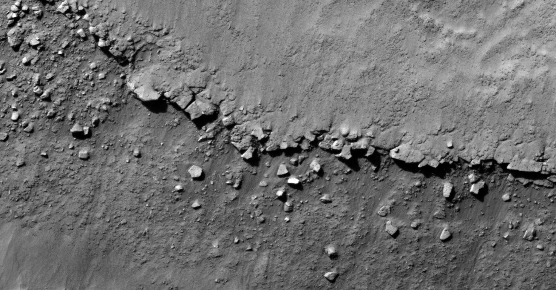
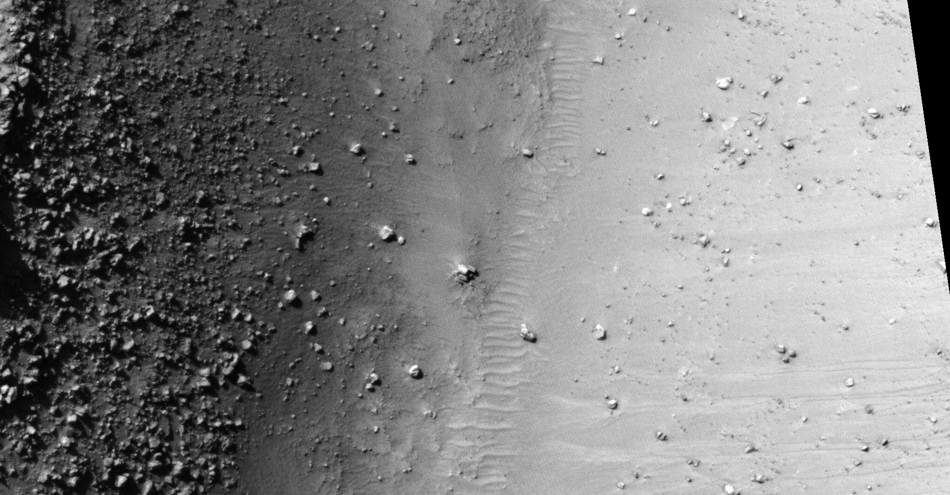
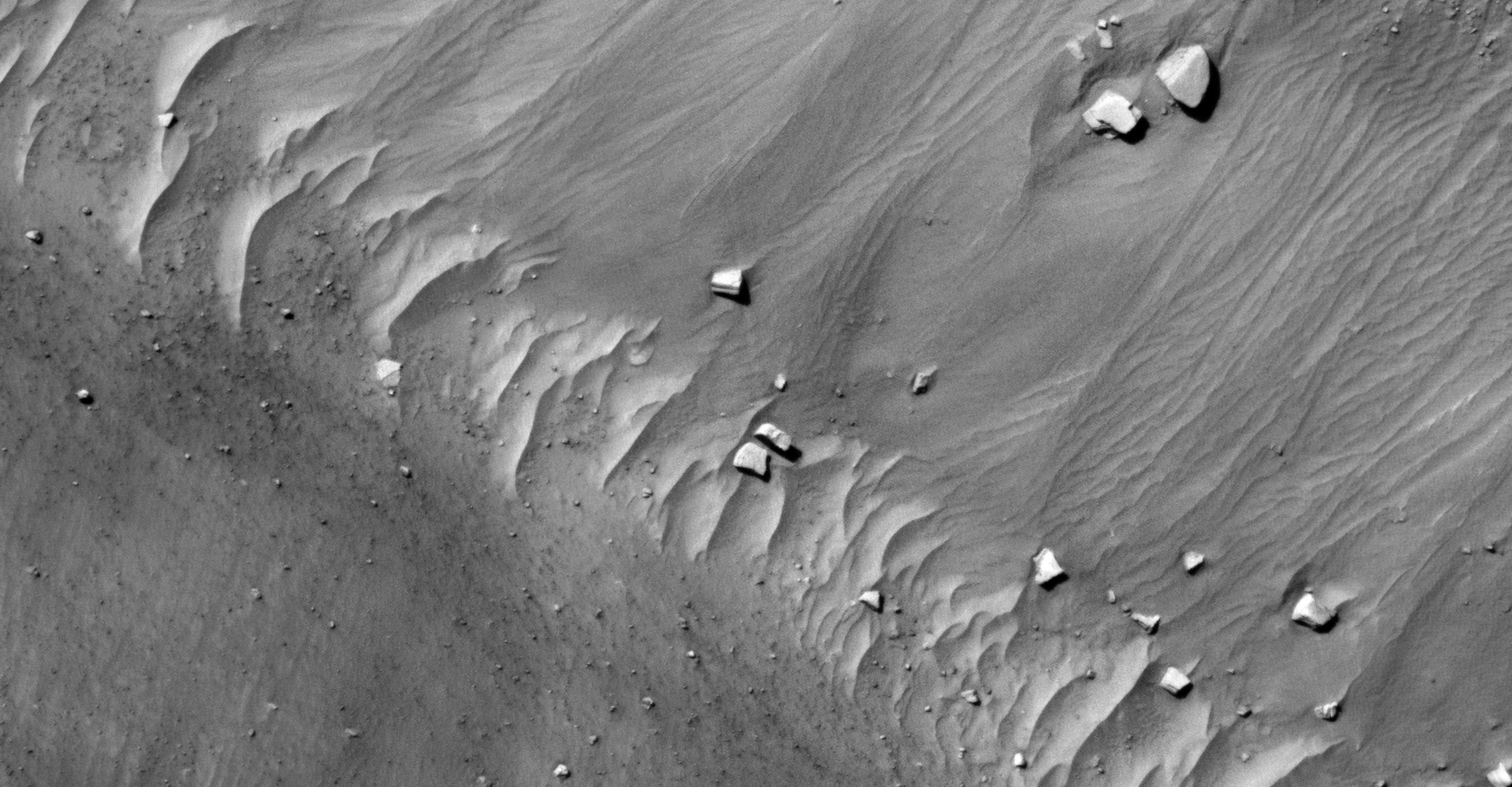
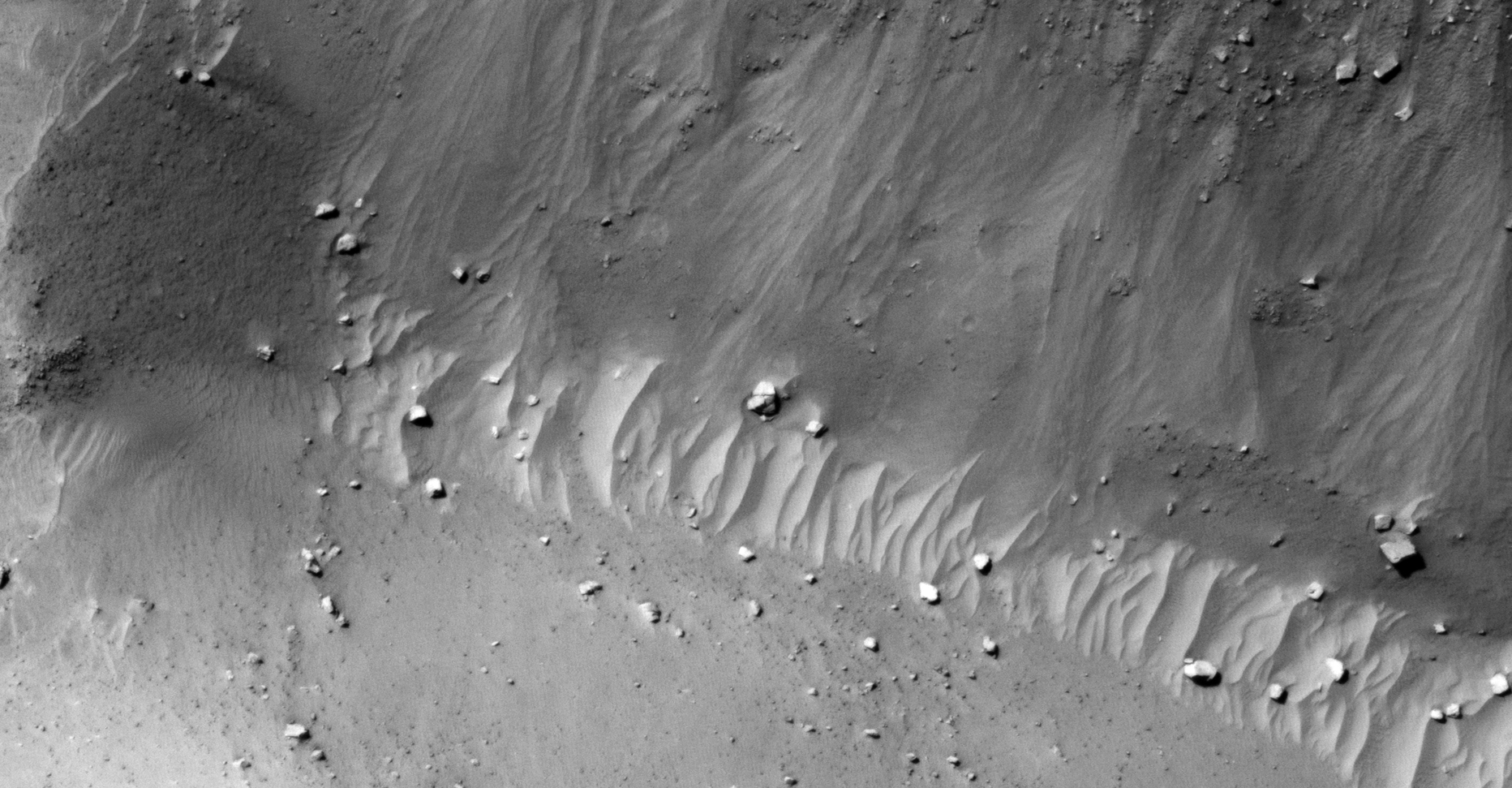
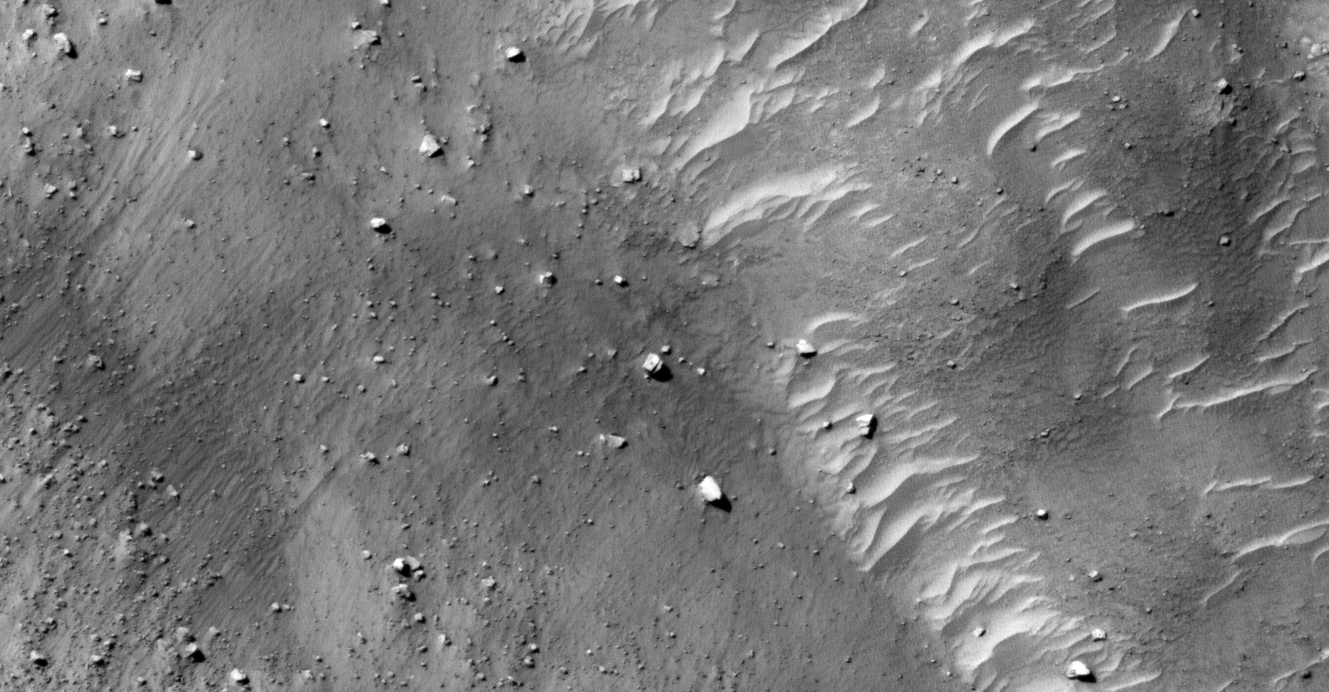
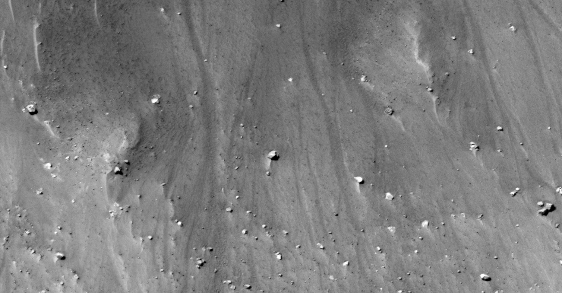
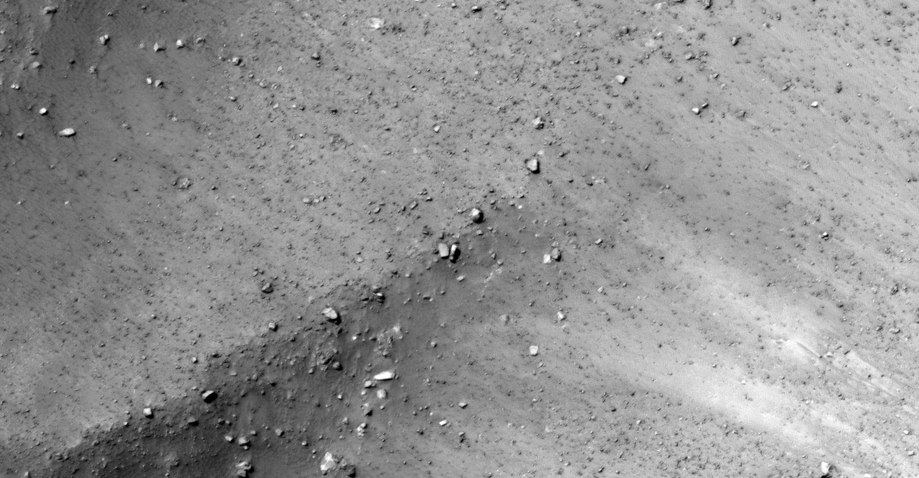
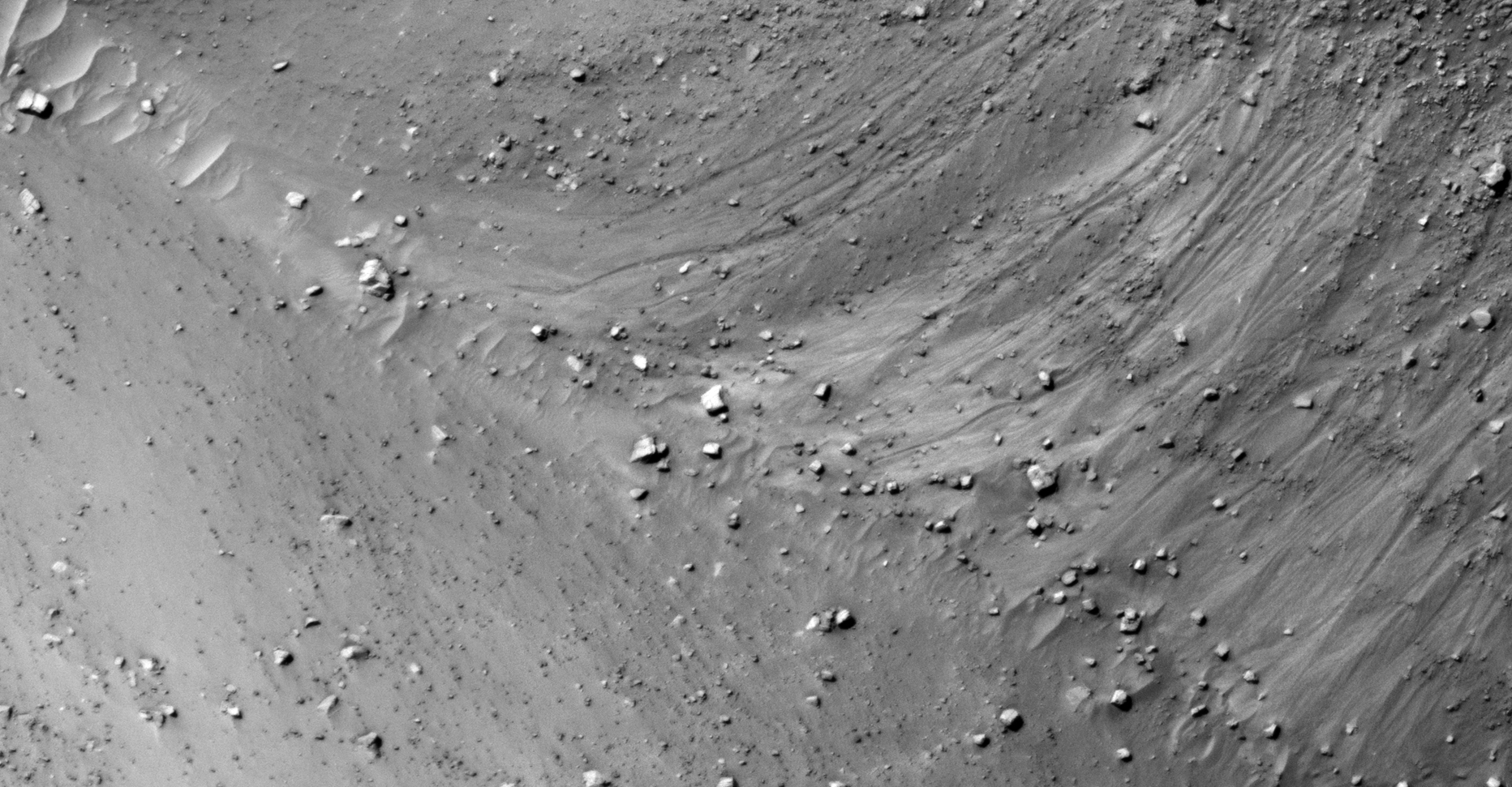
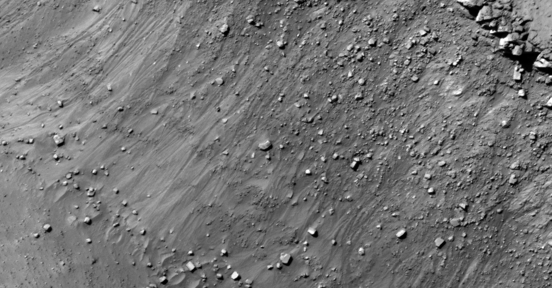
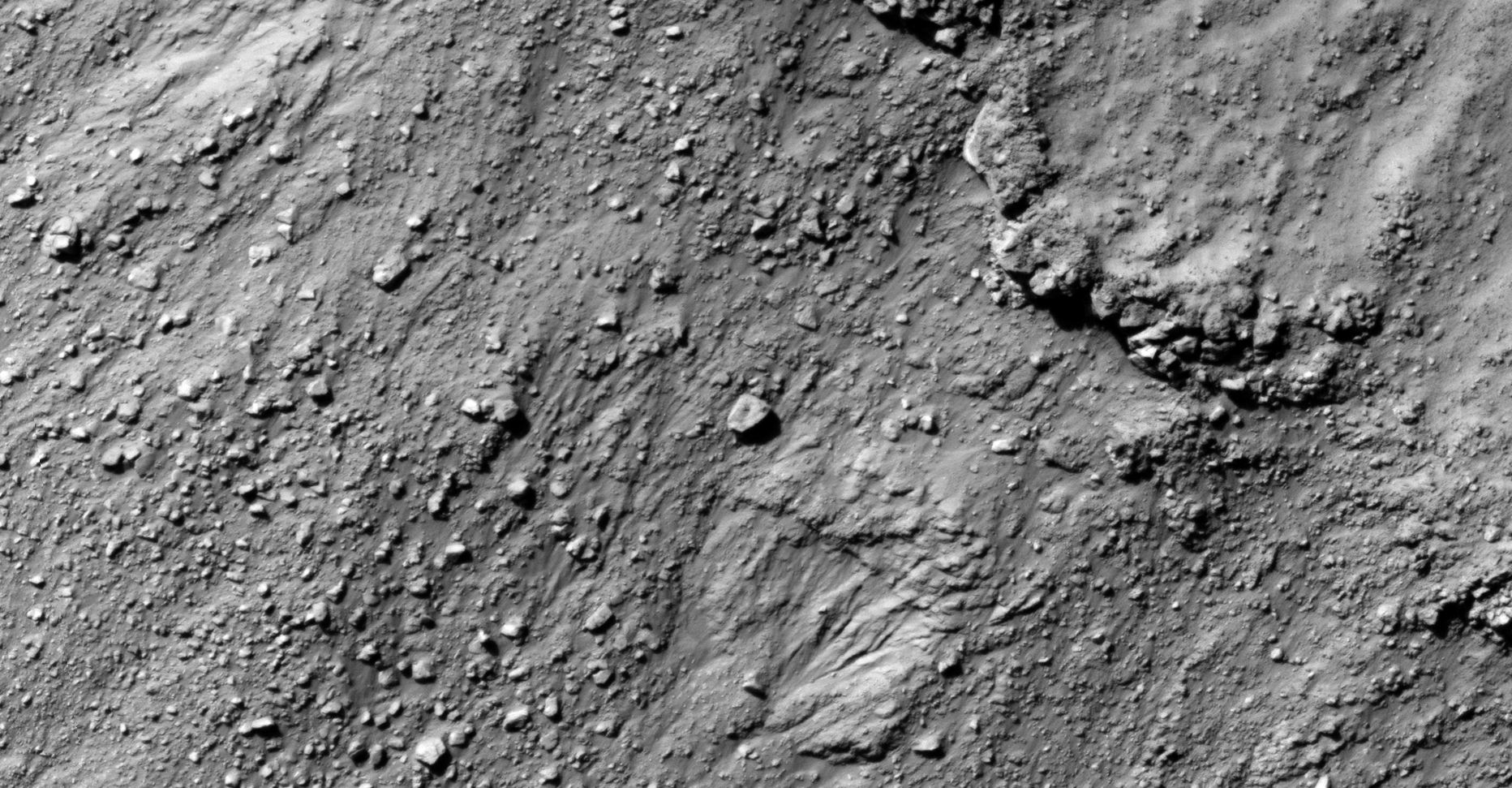
The photograph analyzed here (ESP_036655_1735) was taken by NASA’s Mars Reconnaissance Orbiter on 22 May 2014. NASA describes the photograph as ‘Layered Material in Aeolis Region.’
I speculate I may have found more heavily eroded megalithic blocks, a type of stepped structure and another rectangular opening/mine/entrance-way cut into the side of a hill.
Might this evidence point to some type of megalithic block mining/extraction activity?
Megalithic block with weird ridge-line embedded in side of hill (click for larger image)Weird ‘worm’-shaped structure with engineered ‘head,’ note the structured look (click for larger image)Embedded megalithic block within machined/artificial surface feature (click for larger image)Open pit mining quarry/underground entrance-way? Was a megalithic block extracted here? (click for larger image)Megalithic block with rectangular slot or opening to the bottom right (click for larger image)Huge megalithic block lying on the side of a hill (click for larger image)
Images saved from within HiView or CTX viewer do not include image scale indicators. The image scale indicators I include in images are based on the official resolutions provided by NASA and although I strive to be as accurate as possible there may be slight deviations from the actual scale. Image scale indicators are included as a size approximation tool only.
Ley lines are mapped as accurately as possible using the limited information, data and mapping tools available at the time, therefore the ley lines may deviate from target sites by a few kilometres. Revisions may be made in the future as new, more precise information, data and mapping tools become available.
Many or all of the anomalies/artefacts covered in this presentation may be naturally occurring geological features caused by some type of geological processes, however due to the lack of specific information from the source we can only speculate whether these are all natural or some artificial in nature.
In cases where I say an anomaly looks like something I’m attempting to clarify what I see and not specifically that the anomaly is what I say it looks like.
My intention is only to share anomalies I’ve discovered on Mars and not to convince anyone that there is or was a civilization on Mars.
As Will Farrar from WhatsUpInTheSky says: “I see what I see, you see what you see.”
The photograph analyzed here (ESP_022797_1370) was taken by NASA’s Mars Reconnaissance Orbiter on 07 June 2011. NASA describes the photograph as ‘Greater Hellas Region Crater Floor.’
This ancient debris field consisting of more megalithic blocks with knobs and other destroyed, tech-like objects is located closer to the equator and is in an entirely new location on Mars.
I speculate that large parts of the surface of Mars was populated by some civilization/s in the distant past and that a catastrophic event destroyed their structures/buildings.
Some may have survived, hence the placement/arrangement of the blocks and smaller features which may have been done after the fact.
I have also discovered what appear to be active mining operations shown in some of my previous videos, please check them out when you get the chance.
— (click for larger image)— (click for larger image)— (click for larger image)— (click for larger image)— (click for larger image)— (click for larger image)— (click for larger image)— (click for larger image)— (click for larger image)— (click for larger image)— (click for larger image)— (click for larger image)— (click for larger image)— (click for larger image)— (click for larger image)— (click for larger image)— (click for larger image)— (click for larger image)— (click for larger image)— (click for larger image)— (click for larger image)— (click for larger image)
Images saved from within HiView or CTX viewer do not include image scale indicators. The image scale indicators I include in images are based on the official resolutions provided by NASA and although I strive to be as accurate as possible there may be slight deviations from the actual scale. Image scale indicators are included as a size approximation tool only.
Ley lines are mapped as accurately as possible using the limited information, data and mapping tools available at the time, therefore the ley lines may deviate from target sites by a few kilometres. Revisions may be made in the future as new, more precise information, data and mapping tools become available.
Many or all of the anomalies/artefacts covered in this presentation may be naturally occurring geological features caused by some type of geological processes, however due to the lack of specific information from the source we can only speculate whether these are all natural or some artificial in nature.
In cases where I say an anomaly looks like something I’m attempting to clarify what I see and not specifically that the anomaly is what I say it looks like.
My intention is only to share anomalies I’ve discovered on Mars and not to convince anyone that there is or was a civilization on Mars.
As Will Farrar from WhatsUpInTheSky says: “I see what I see, you see what you see.”
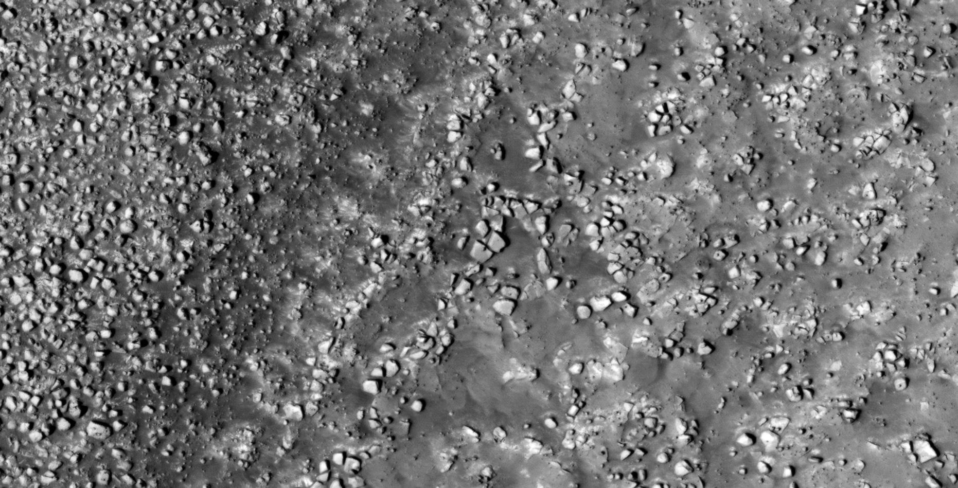
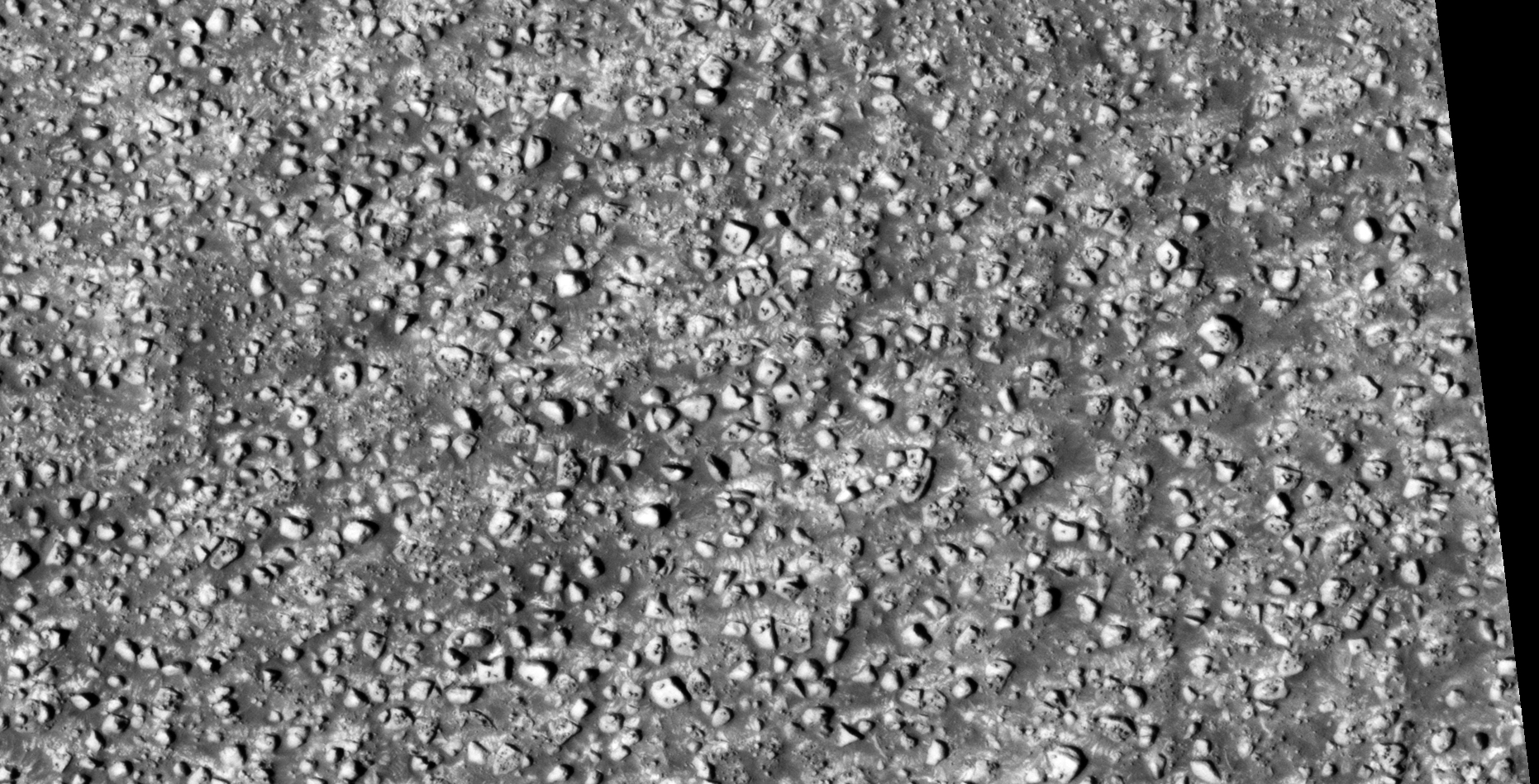
The photograph analyzed here (ESP_027043_2290) was taken by NASA’s Mars Reconnaissance Orbiter on 03 May 2012. NASA describes the photograph as ‘Thermophysical Contacts.’
Located just to the west of the Viking 2 Lander site, this area is littered with what look like ancient megalithic ruins.
Found are more megalithic blocks with smaller features or knobs on top. Some blocks are arranged in geometric patterns/walls, however the event/s that devastated the planet in the distant past totally destroyed what may have been structures.
— (click for larger image)— (click for larger image)— (click for larger image)— (click for larger image)— (click for larger image)— (click for larger image)— (click for larger image)— (click for larger image)— (click for larger image)— (click for larger image)— (click for larger image)— (click for larger image)— (click for larger image)— (click for larger image)— (click for larger image)— (click for larger image)— (click for larger image)— (click for larger image)— (click for larger image)
Images saved from within HiView or CTX viewer do not include image scale indicators. The image scale indicators I include in images are based on the official resolutions provided by NASA and although I strive to be as accurate as possible there may be slight deviations from the actual scale. Image scale indicators are included as a size approximation tool only.
Ley lines are mapped as accurately as possible using the limited information, data and mapping tools available at the time, therefore the ley lines may deviate from target sites by a few kilometres. Revisions may be made in the future as new, more precise information, data and mapping tools become available.
Many or all of the anomalies/artefacts covered in this presentation may be naturally occurring geological features caused by some type of geological processes, however due to the lack of specific information from the source we can only speculate whether these are all natural or some artificial in nature.
In cases where I say an anomaly looks like something I’m attempting to clarify what I see and not specifically that the anomaly is what I say it looks like.
My intention is only to share anomalies I’ve discovered on Mars and not to convince anyone that there is or was a civilization on Mars.
As Will Farrar from WhatsUpInTheSky says: “I see what I see, you see what you see.”
The photograph analyzed here (PSP_005330_1275) was taken by NASA’s Mars Reconnaissance Orbiter on 15 September 2007. NASA describes the photograph as ‘Hellespontus Region Dune Field.’
Discovered here is what I speculate to be further evidence of ancient ruins and technology on Mars.
I also found what looks like a wrecked Quimbaya ‘Jet’-type object approximately 20 metres long. I wonder what Giorgio from Ancient Aliens will think of this artefact?
Wrecked Quimbaya ‘Jet’-type object approximately 20 metres long (click for larger image)Quimbaya ‘Jet’ Jewelry (click for larger image)— (click for larger image)— (click for larger image)— (click for larger image)— (click for larger image)— (click for larger image)— (click for larger image)— (click for larger image)— (click for larger image)— (click for larger image)— (click for larger image)— (click for larger image)— (click for larger image)— (click for larger image)— (click for larger image)— (click for larger image)— (click for larger image)— (click for larger image)— (click for larger image)— (click for larger image)— (click for larger image)— (click for larger image)— (click for larger image)— (click for larger image)— (click for larger image)— (click for larger image)— (click for larger image)— (click for larger image)— (click for larger image)— (click for larger image)— (click for larger image)— (click for larger image)
Images saved from within HiView or CTX viewer do not include image scale indicators. The image scale indicators I include in images are based on the official resolutions provided by NASA and although I strive to be as accurate as possible there may be slight deviations from the actual scale. Image scale indicators are included as a size approximation tool only.
Ley lines are mapped as accurately as possible using the limited information, data and mapping tools available at the time, therefore the ley lines may deviate from target sites by a few kilometres. Revisions may be made in the future as new, more precise information, data and mapping tools become available.
Many or all of the anomalies/artefacts covered in this presentation may be naturally occurring geological features caused by some type of geological processes, however due to the lack of specific information from the source we can only speculate whether these are all natural or some artificial in nature.
In cases where I say an anomaly looks like something I’m attempting to clarify what I see and not specifically that the anomaly is what I say it looks like.
My intention is only to share anomalies I’ve discovered on Mars and not to convince anyone that there is or was a civilization on Mars.
As Will Farrar from WhatsUpInTheSky says: “I see what I see, you see what you see.”
The photograph analyzed here (ESP_013864_1220) was taken by NASA’s Mars Reconnaissance Orbiter on 11 July 2009. NASA describes the photograph as ‘Sharp Boundary on Crater Floor.’
I discovered another vast terrain on the Martian surface littered with megalithic blocks with knobs or smaller features on top, wrecked craft or machinery/technology.
It looks like I discovered matching objects again.
There may even be a few underground entrance-ways and/or underground habitat ventilation caps shown, only speculating.
I further speculate that the blocks have been arrange somehow and the smaller features have been physically placed on top of them in patterns. Perhaps these are shrines with a special meaning to them. Might this even be a burial ground?
— (click for larger image)— (click for larger image)— (click for larger image)— (click for larger image)— (click for larger image)— (click for larger image)— (click for larger image)— (click for larger image)— (click for larger image)— (click for larger image)— (click for larger image)— (click for larger image)— (click for larger image)— (click for larger image)— (click for larger image)— (click for larger image)— (click for larger image)— (click for larger image)— (click for larger image)— (click for larger image)— (click for larger image)— (click for larger image)— (click for larger image)— (click for larger image)— (click for larger image)— (click for larger image)— (click for larger image)— (click for larger image)— (click for larger image)— (click for larger image)— (click for larger image)— (click for larger image)— (click for larger image)— (click for larger image)— (click for larger image)— (click for larger image)— (click for larger image)— (click for larger image)— (click for larger image)— (click for larger image)— (click for larger image)— (click for larger image)— (click for larger image)— (click for larger image)— (click for larger image)— (click for larger image)— (click for larger image)— (click for larger image)— (click for larger image)— (click for larger image)— (click for larger image)— (click for larger image)— (click for larger image)— (click for larger image)— (click for larger image)— (click for larger image)— (click for larger image)— (click for larger image)— (click for larger image)— (click for larger image)— (click for larger image)— (click for larger image)— (click for larger image)— (click for larger image)
Images saved from within HiView or CTX viewer do not include image scale indicators. The image scale indicators I include in images are based on the official resolutions provided by NASA and although I strive to be as accurate as possible there may be slight deviations from the actual scale. Image scale indicators are included as a size approximation tool only.
Ley lines are mapped as accurately as possible using the limited information, data and mapping tools available at the time, therefore the ley lines may deviate from target sites by a few kilometres. Revisions may be made in the future as new, more precise information, data and mapping tools become available.
Many or all of the anomalies/artefacts covered in this presentation may be naturally occurring geological features caused by some type of geological processes, however due to the lack of specific information from the source we can only speculate whether these are all natural or some artificial in nature.
In cases where I say an anomaly looks like something I’m attempting to clarify what I see and not specifically that the anomaly is what I say it looks like.
My intention is only to share anomalies I’ve discovered on Mars and not to convince anyone that there is or was a civilization on Mars.
As Will Farrar from WhatsUpInTheSky says: “I see what I see, you see what you see.”
The photograph analyzed here (ESP_013864_1220) was taken by NASA’s Mars Reconnaissance Orbiter on 11 July 2009. NASA photograph description: ‘Sharp Boundary on Crater Floor.’
I discovered what may be further evidence of similar derelict/wrecked equipment or objects on Mars.
Similarities between the three objects:
The ‘bumper/scoop’ in front
An opening with a small part sticking out of the opening
A larger convex-shaped fuselage with small dome/sphere-like features on top
A small ‘winglette’ on the side
Measure approximately 10 metres in length
Could these perhaps be similar equipment types but different models (they have small differences)?
All three wrecks are located in the Southern hemisphere on Mars.
Wreckage South East of Douglass Crater (ESP_013864_1220) (click for larger image)Wreckage in Hunten Crater (ESP_028379_1405) (click for larger image)Wreckage in Electris Region (ESP_023929_1425) (click for larger image)The location of the three wrecks (click for larger image)
Images saved from within HiView or CTX viewer do not include image scale indicators. The image scale indicators I include in images are based on the official resolutions provided by NASA and although I strive to be as accurate as possible there may be slight deviations from the actual scale. Image scale indicators are included as a size approximation tool only.
Ley lines are mapped as accurately as possible using the limited information, data and mapping tools available at the time, therefore the ley lines may deviate from target sites by a few kilometres. Revisions may be made in the future as new, more precise information, data and mapping tools become available.
Many or all of the anomalies/artefacts covered in this presentation may be naturally occurring geological features caused by some type of geological processes, however due to the lack of specific information from the source we can only speculate whether these are all natural or some artificial in nature.
In cases where I say an anomaly looks like something I’m attempting to clarify what I see and not specifically that the anomaly is what I say it looks like.
My intention is only to share anomalies I’ve discovered on Mars and not to convince anyone that there is or was a civilization on Mars.
As Will Farrar from WhatsUpInTheSky says: “I see what I see, you see what you see.”
The photograph analyzed here (PSP_005860_1340) was taken by NASA’s Mars Reconnaissance Orbiter on 27 October 2007. NASA describes the photograph as ‘Erosional Features and Knob in Argyre Planitia.’
I discovered what appears to be further evidence of ancient broken megalithic blocks with knobs or smaller features on top and what may be wreckage.
There may even be a few underground entrance-ways shown, only speculating.
Layered metallic-type plates, one seems to have a small dome on top (click for larger image)Pile of debris/wreckage perhaps concealing an underground entrance-way (click for larger image)Three similar objects with smaller knobs of features on top (click for larger image)Wreckage consisting of two bent metallic-looking parts? (click for larger image)More wreckage? (click for larger image)Another object with smaller knob or feature on top (click for larger image)Wreckage consisting of multiple pieces with smaller domes or features on top (click for larger image)Another metallic-looking part with small features on top (click for larger image)Underground entrance-way with perhaps a long narrow ventilation slot on top? (click for larger image)
Images saved from within HiView or CTX viewer do not include image scale indicators. The image scale indicators I include in images are based on the official resolutions provided by NASA and although I strive to be as accurate as possible there may be slight deviations from the actual scale. Image scale indicators are included as a size approximation tool only.
Ley lines are mapped as accurately as possible using the limited information, data and mapping tools available at the time, therefore the ley lines may deviate from target sites by a few kilometres. Revisions may be made in the future as new, more precise information, data and mapping tools become available.
Many or all of the anomalies/artefacts covered in this presentation may be naturally occurring geological features caused by some type of geological processes, however due to the lack of specific information from the source we can only speculate whether these are all natural or some artificial in nature.
In cases where I say an anomaly looks like something I’m attempting to clarify what I see and not specifically that the anomaly is what I say it looks like.
My intention is only to share anomalies I’ve discovered on Mars and not to convince anyone that there is or was a civilization on Mars.
As Will Farrar from WhatsUpInTheSky says: “I see what I see, you see what you see.”
Although the so-called face and pyramids in Cydonia were discovered years ago they still feature in presentations and documentaries today. I’m sure you agree that it’s time for something new and refreshing.
Featured here are another face and pyramids I discovered just North of Gale crater where NASA is operating it’s Curiosity rover. Also featured are anomalies in three other area’s of interest.
The massive anomalies shown here include everything from a ‘face’ to pyramids, an ‘eye’ and other strange geometric structures. There are also multiple matching structures.
The following photographs taken by NASA’s Mars Reconnaissance Orbiter CTX Camera are analysed here:
G22_026771_2213_XI_41N009W
G01_018593_2214_XI_41N302W
P20_008753_1876_XN_07N211W
P22_009650_1772_XI_02S222W
P22_009821_1848_XI_04N211W
G22_026771_2213_XI_41N009W Anomalies:
The ‘Face’ and Pyramids in Cydonia (click for larger image)
P22_009650_1772_XI_02S222W Anomalies:
The ‘Face of Chewbacca’ (click for larger image)The ‘Face of Chewbacca’ – Actual size (click for larger image)Long narrow ‘Mesa’ out of place (click for larger image)The ‘Pistol’ – Zoomed out (not to scale) (click for larger image)Three sided Pyramid just North of the ‘Face of Chewbacca’ (click for larger image)Three sided Pyramid just North of the ‘Face of Chewbacca’ – Actual size (click for larger image)
G01_018593_2214_XI_41N302W Anomalies:
The ‘Eye of Horus’ (click for larger image)The ‘Eye of Horus’ – Zoomed in (click for larger image)
P20_008753_1876_XN_07N211W Anomalies:
Blocks, perhaps an ancient city in ruins? – Zoomed out (not to scale) (click for larger image)Long narrow cigar-shaped structure in front of flat top pyramidal structure (click for larger image)Three sided Pyramid with triangular entrance-way on the one side (click for larger image)Dome-shaped structure with rectangular entrance-way (click for larger image)‘The Reflector,’ a long narrow structure seemingly built to reflect sunlight (click for larger image)The ‘Pistol’ – Zoomed out (not to scale). Similar to the structure in P22_009650_1772_XI_02S222W (click for larger image)Almost perfect four sided Pyramid with smaller structure on one side, possible city ruins to the top right (click for larger image)Two Pyramids (click for larger image)
P22_009821_1848_XI_04N211W Anomalies:
‘The Horseman’ – Martian surface artwork, zoomed out (not to scale) (click for larger image)‘The Reflector,’ a long narrow structure seemingly built to reflect sunlight. Similar to the structure in P20_008753_1876_XN_07N211W (click for larger image)Artificial, out of place narrow ‘Mesa’ (click for larger image)Huge rectangular structure and/or mining operation. The side to the right seems machined/worked while a trench appears to have been dug along the top (click for larger image)Geometric/symmetrical multi-sided structure with a strange circular feature and trench on top (click for larger image)
Images saved from within HiView or CTX viewer do not include image scale indicators. The image scale indicators I include in images are based on the official resolutions provided by NASA and although I strive to be as accurate as possible there may be slight deviations from the actual scale. Image scale indicators are included as a size approximation tool only.
Ley lines are mapped as accurately as possible using the limited information, data and mapping tools available at the time, therefore the ley lines may deviate from target sites by a few kilometres. Revisions may be made in the future as new, more precise information, data and mapping tools become available.
Many or all of the anomalies/artefacts covered in this presentation may be naturally occurring geological features caused by some type of geological processes, however due to the lack of specific information from the source we can only speculate whether these are all natural or some artificial in nature.
In cases where I say an anomaly looks like something I’m attempting to clarify what I see and not specifically that the anomaly is what I say it looks like.
My intention is only to share anomalies I’ve discovered on Mars and not to convince anyone that there is or was a civilization on Mars.
As Will Farrar from WhatsUpInTheSky says: “I see what I see, you see what you see.”
The photographs analyzed here (ESP_023929_1425 and ESP_028379_1405) were taken by NASA’s Mars Reconnaissance Orbiter on 04 September 2011 and 15 August 2012 respectively. Area’s photographs were taken: ‘Electris Region’ and ‘Hunten Crater’ respectively
I discovered what appears to be further evidence of matching derelict equipment or objects on Mars approximately 6000 km apart.
Similarities between both objects:
The ‘bumper/scoop’ in front
‘Arch’ feature on top with a small part sticking out of the opening
A larger convex-shaped fuselage
The one object is totally wrecked while the other is in more pristine condition.
Wreckage I in Hunten Crater (ESP_028379_1405) (click for larger image)Wreckage II in Electris Region (ESP_023929_1425) (click for larger image)Google Earth Mars showing location of wreckages (approx. 6000 km apart) (click for larger image)
Images saved from within HiView or CTX viewer do not include image scale indicators. The image scale indicators I include in images are based on the official resolutions provided by NASA and although I strive to be as accurate as possible there may be slight deviations from the actual scale. Image scale indicators are included as a size approximation tool only.
Ley lines are mapped as accurately as possible using the limited information, data and mapping tools available at the time, therefore the ley lines may deviate from target sites by a few kilometres. Revisions may be made in the future as new, more precise information, data and mapping tools become available.
Many or all of the anomalies/artefacts covered in this presentation may be naturally occurring geological features caused by some type of geological processes, however due to the lack of specific information from the source we can only speculate whether these are all natural or some artificial in nature.
In cases where I say an anomaly looks like something I’m attempting to clarify what I see and not specifically that the anomaly is what I say it looks like.
My intention is only to share anomalies I’ve discovered on Mars and not to convince anyone that there is or was a civilization on Mars.
As Will Farrar from WhatsUpInTheSky says: “I see what I see, you see what you see.”
The photograph analyzed here (ESP_023929_1425) was taken by NASA’s Mars Reconnaissance Orbiter on 04 September 2011. NASA describes the photographs as ‘Remnant of Unconformable Deposit in Electris.’
I discovered what appears to be further ancient megalithic ruins consisting of massive, broken megalithic blocks.
Some structures are still relatively intact and show a few blocks that have become dislodged.
Again, there are multiple anomalies that look like wrecked craft, damaged machinery or tech, underground entrance-ways and pieces of sculptures, even what look like a giant hatch.
Are these ancient ruins built by a civilization that lived on Mars in the distant past or were these structures formed through a natural geological processes?
To quote NASA: ‘One goal of this observation is to try to determine the origin of what’s called the ‘mantling deposit.’ How was this deposit placed here?’
Due to the fact that I have discovered multiple sites on Mars with similar matching megalithic blocks and similar objects I speculate these ancient ruins are artificial in nature.
Layered/stepped megalithic blocks/slabs or some type of technology (click for larger image)Layered/stepped megalithic block/s (click for larger image)Smooth megalithic block with rounded edge (click for larger image)Layered/stepped megalithic block or some type of metallic-looking technology (click for larger image)Layered/stepped megalithic blocks/slabs or some type of metallic-looking technology (click for larger image)Metallic-looking plate partially buried with small symmetrical parts on top (click for larger image)Megalithic slab or piece of metallic-looking technology (click for larger image)Megalithic slabs or pieces of metallic-looking technology (click for larger image)Metallic-looking technology, perhaps some type of wrecked craft (click for larger image)Layered/stepped megalithic block/s or slabs or some type of technology or wrecked craft (click for larger image)Layered/stepped megalithic blocks/slabs or some type of technology (click for larger image)Symmetrical megalithic block or some type of technology (click for larger image)Partially buried megalithic block (click for larger image)Layered/stepped megalithic blocks/slabs or some type of technology (click for larger image)Megalithic block (click for larger image)Megalithic block with smaller step carved into one corner (click for larger image)Layered/stepped megalithic blocks/slabs or some type of metallic-looking technology (click for larger image)Bent metallic-looking plate, perhaps underground entrance-way (click for larger image)Strange shaped block, perhaps a piece from a giant sculpture (click for larger image)Megalithic slabs or some type of metallic-looking technology, perhaps underground entrance-way (click for larger image)Rectangular object with what look like two holes or dark spots on one side (click for larger image)Layered/stepped megalithic blocks/slabs or some type of metallic-looking plates or technology (click for larger image)Partially buried metallic-looking technology, perhaps some type of wrecked craft (click for larger image)Megalithic block/slab with smaller knob or feature on top (click for larger image)Layered/stepped megalithic blocks/slabs or some type of metallic-looking technology (click for larger image)Megalithic block in the shape of a cube (click for larger image)Layered/stepped megalithic blocks/slabs or some type of metallic-looking technology (click for larger image)Megalithic block/slab with smaller knobs or features on top (click for larger image)Narrow megalithic slab (click for larger image)Two exposed, inter-locking megalithic blocks with knobs or smaller features on top (click for larger image)Molded object, perhaps from a sculpture (click for larger image)Megalithic blocks/slabs or some type of metallic-looking plates or technology (click for larger image)Large megalithic block with a smaller rectangular block on top (click for larger image)Exposed, inter-locking megalithic blocks (click for larger image)Narrow rectangular parts on opposite sides to a cylindrical object, perhaps a wrecked craft or some type of technology (click for larger image)Stepped/layered piece with smaller knobs or features on top (click for larger image)Two megalithic blocks (click for larger image)Part of a sculpture or some kind of destroyed technology (click for larger image)Megalithic block with multiple smaller features to the left side, perhaps part of a sculpture. It appears the piece lying next to it broke off (click for larger image)Megalithic blocks in the shape of a cubes (click for larger image)Megalithic slabs (click for larger image)Megalithic blocks (click for larger image)Triangular object partially buried in sand (click for larger image)Partially buried megalithic block or technology, note the oblong feature with smaller dome on the side (click for larger image)Megalithic block with multiple smaller features, perhaps part of a sculpture (click for larger image)Rectangular megalithic block (click for larger image)Megalithic block with knob or smaller feature on top (click for larger image)Exposed, inter-locking megalithic blocks (click for larger image)Megalithic blocks with knobs or smaller features on top (click for larger image)Multiple stacked megalithic blocks/slabs (click for larger image)Could this be some type of hatch or wrecked craft? (click for larger image)Hollow object? There seems to be a rounded opening on the one side (click for larger image)Broken sculpture pieces or perhaps smashed technology? (click for larger image)Megalithic block in the shape of a cube (click for larger image)Megalithic blocks (click for larger image)Broken sculpture piece, stepper/layered megalithic block or perhaps smashed technology? (click for larger image)Object in the shape of a heart or leaf, perhaps a sculpture piece? (click for larger image)Narrow megalithic block/slab (click for larger image)Megalithic block with knobs or smaller features on top (click for larger image)Narrow megalithic block/slab (click for larger image)Narrow megalithic block/slab (click for larger image)
Images saved from within HiView or CTX viewer do not include image scale indicators. The image scale indicators I include in images are based on the official resolutions provided by NASA and although I strive to be as accurate as possible there may be slight deviations from the actual scale. Image scale indicators are included as a size approximation tool only.
Ley lines are mapped as accurately as possible using the limited information, data and mapping tools available at the time, therefore the ley lines may deviate from target sites by a few kilometres. Revisions may be made in the future as new, more precise information, data and mapping tools become available.
Many or all of the anomalies/artefacts covered in this presentation may be naturally occurring geological features caused by some type of geological processes, however due to the lack of specific information from the source we can only speculate whether these are all natural or some artificial in nature.
In cases where I say an anomaly looks like something I’m attempting to clarify what I see and not specifically that the anomaly is what I say it looks like.
My intention is only to share anomalies I’ve discovered on Mars and not to convince anyone that there is or was a civilization on Mars.
As Will Farrar from WhatsUpInTheSky says: “I see what I see, you see what you see.”