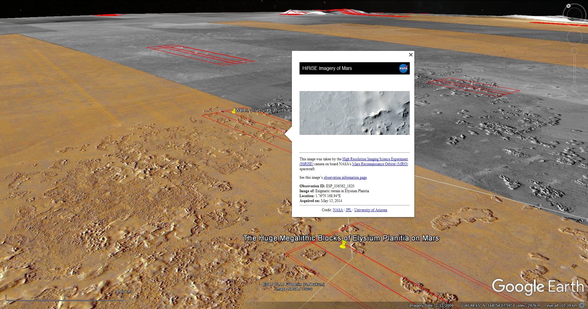
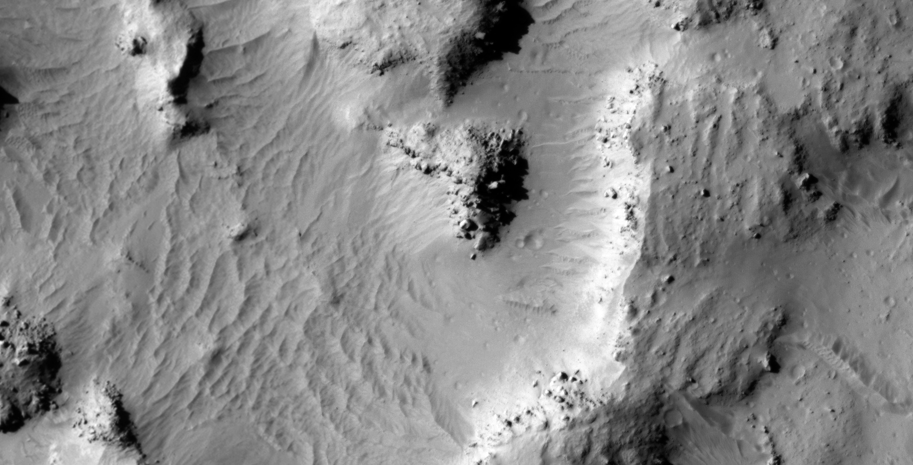
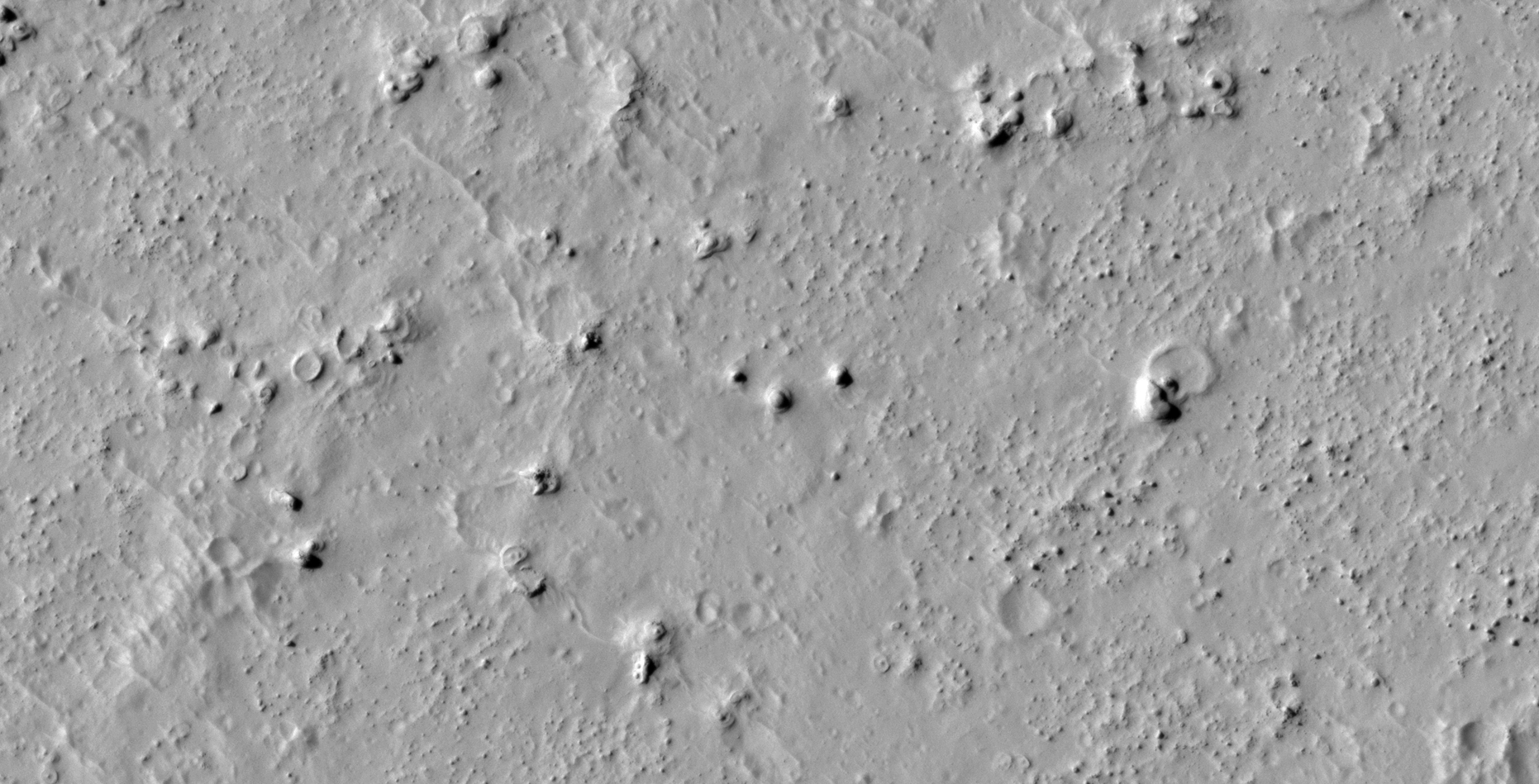
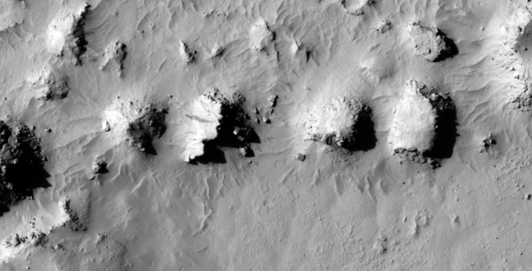
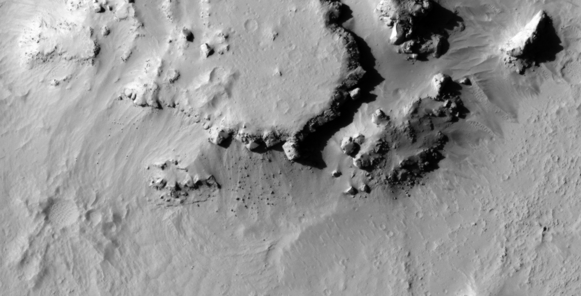
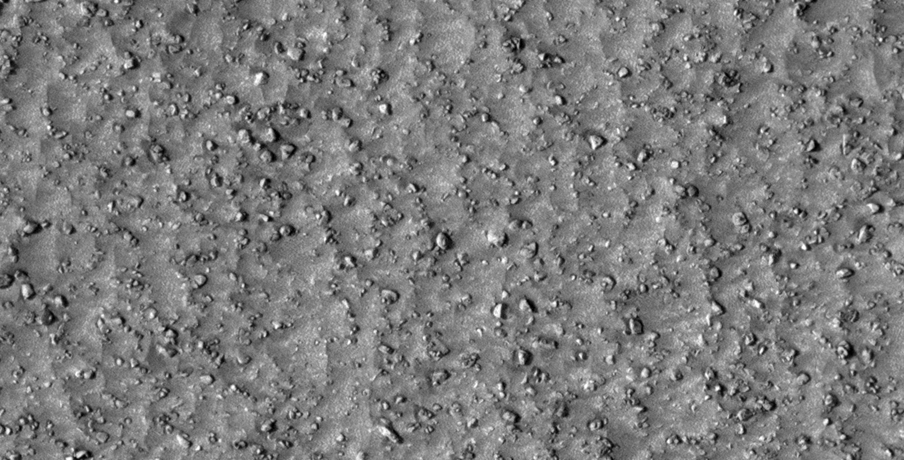
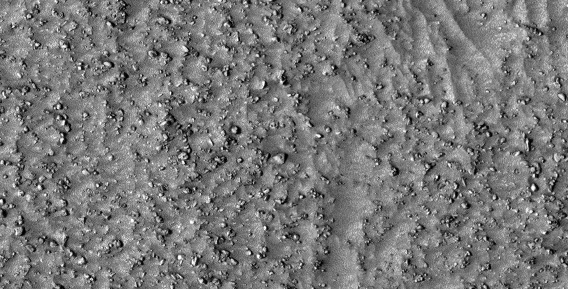
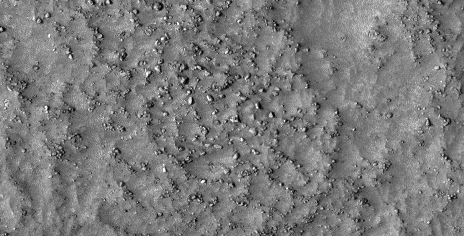
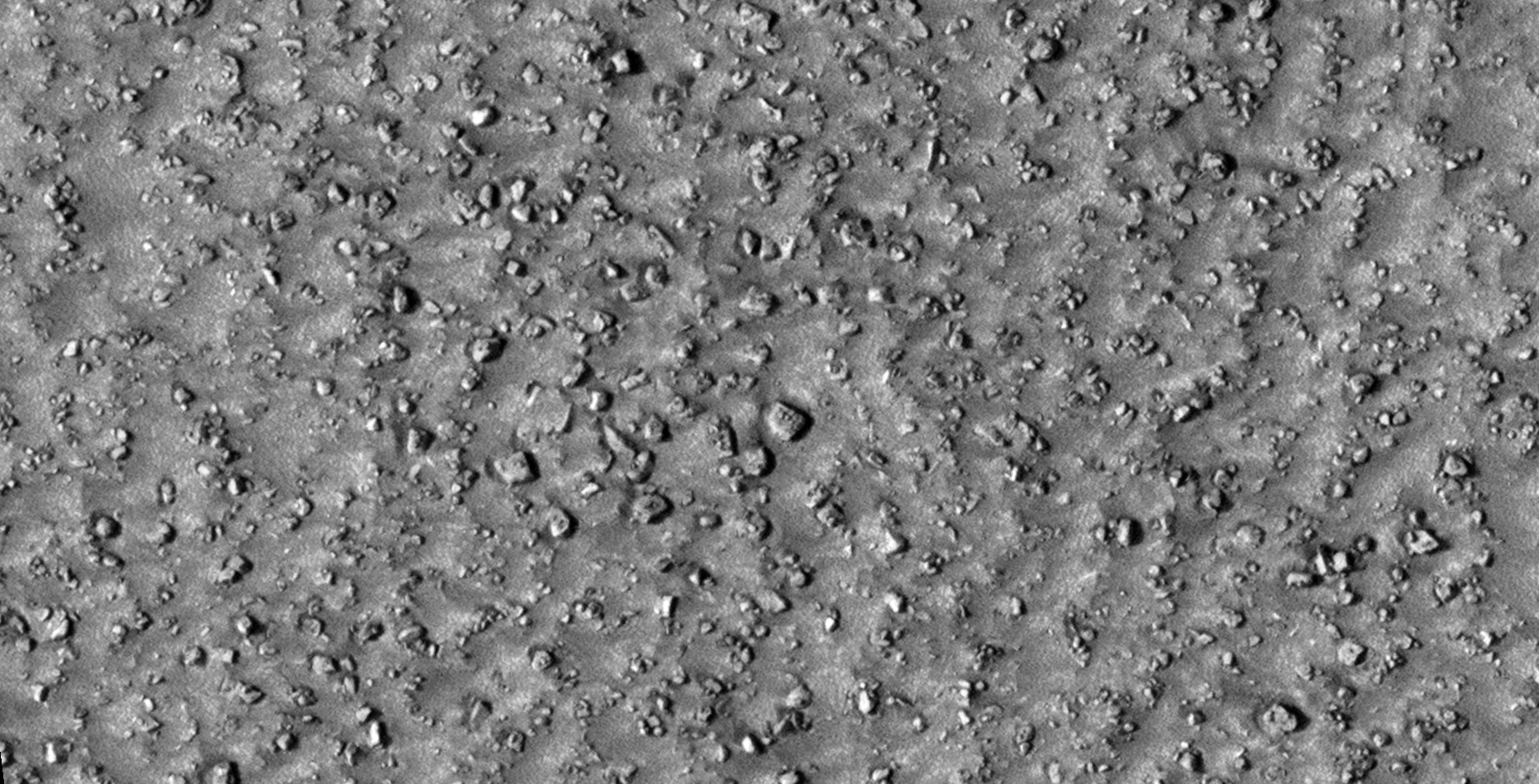
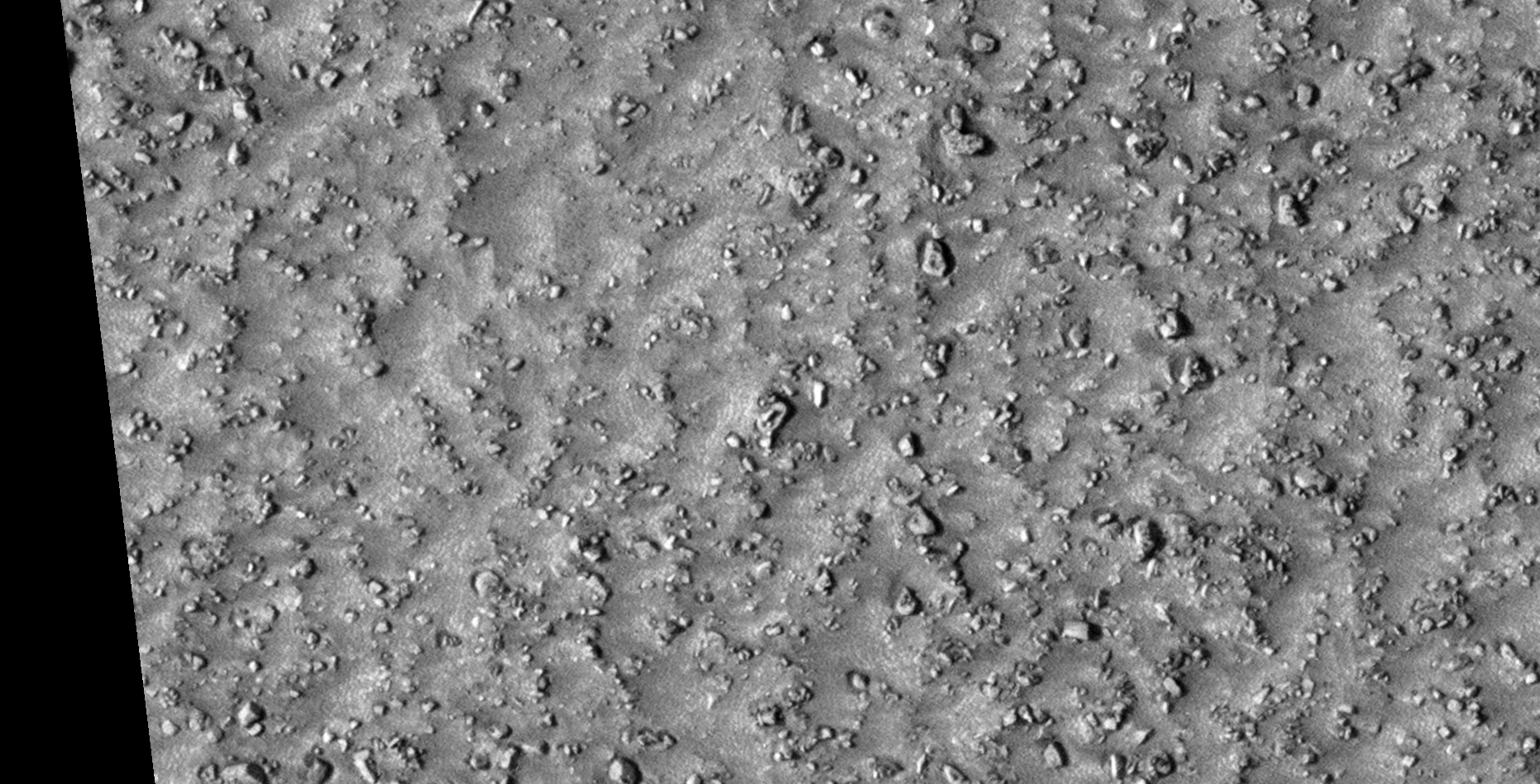
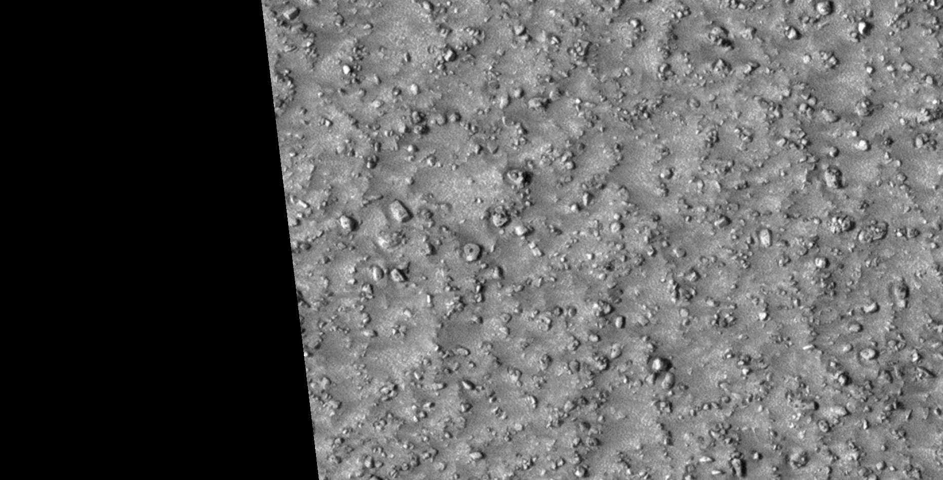
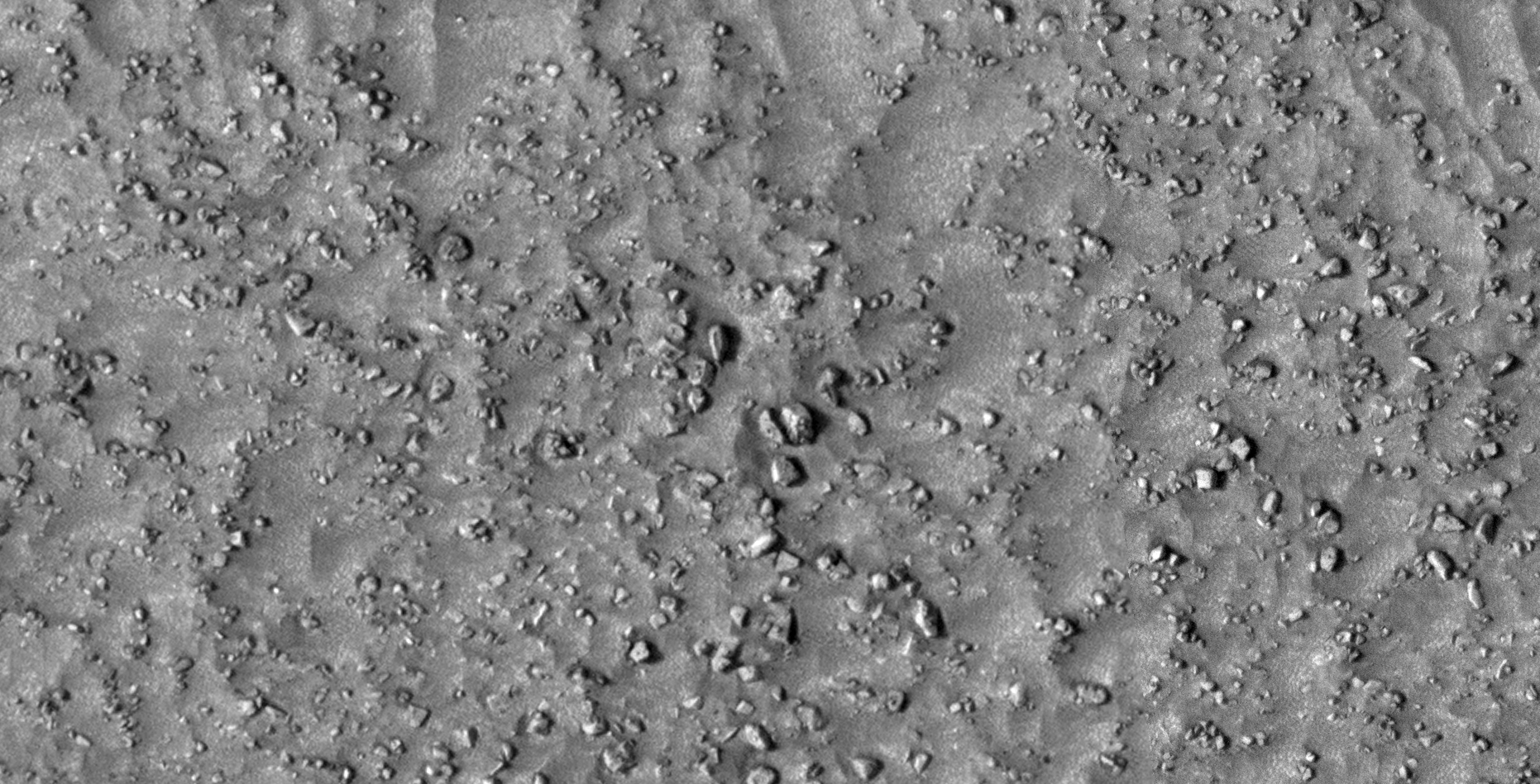
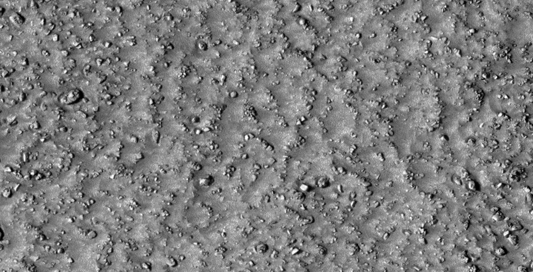
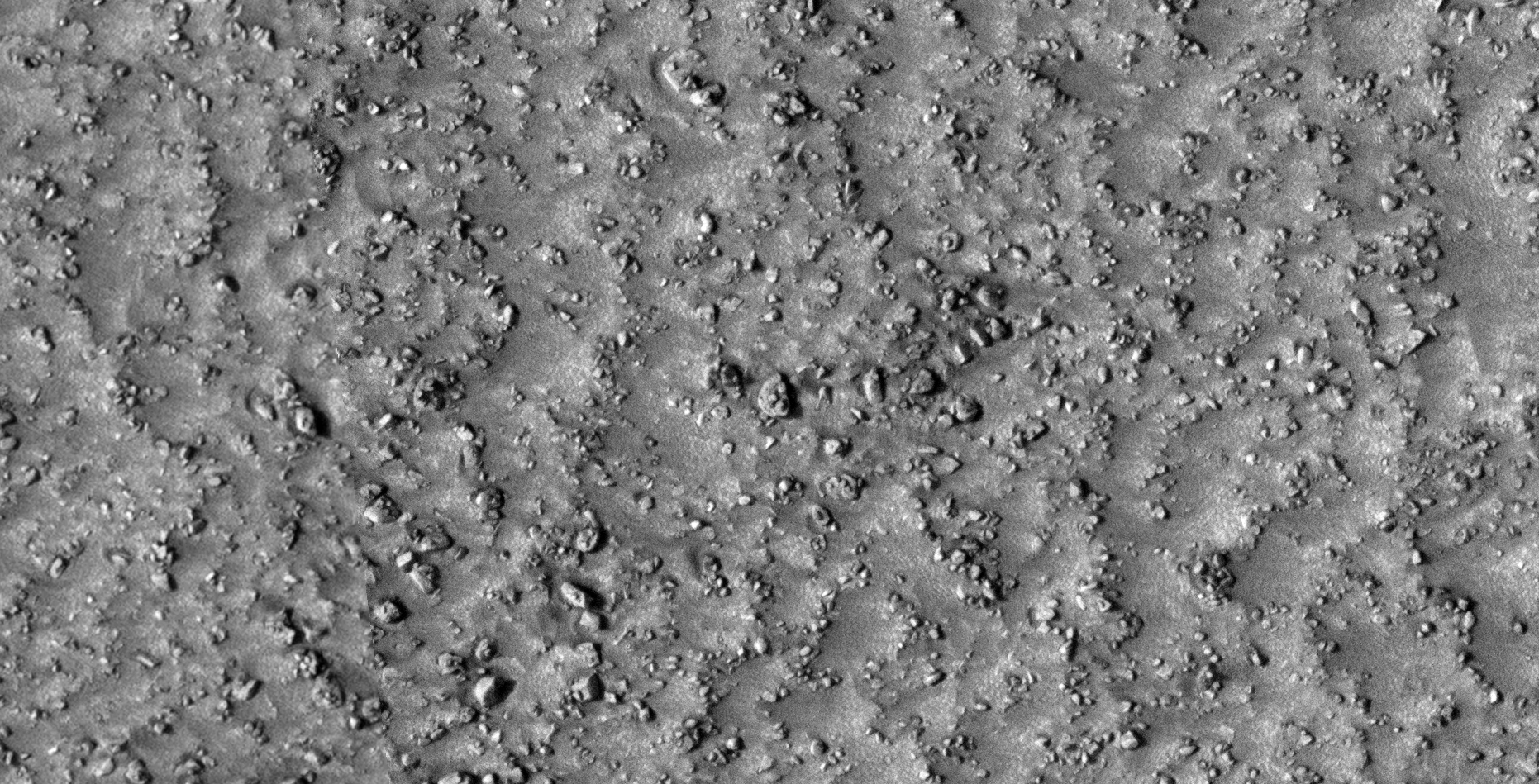
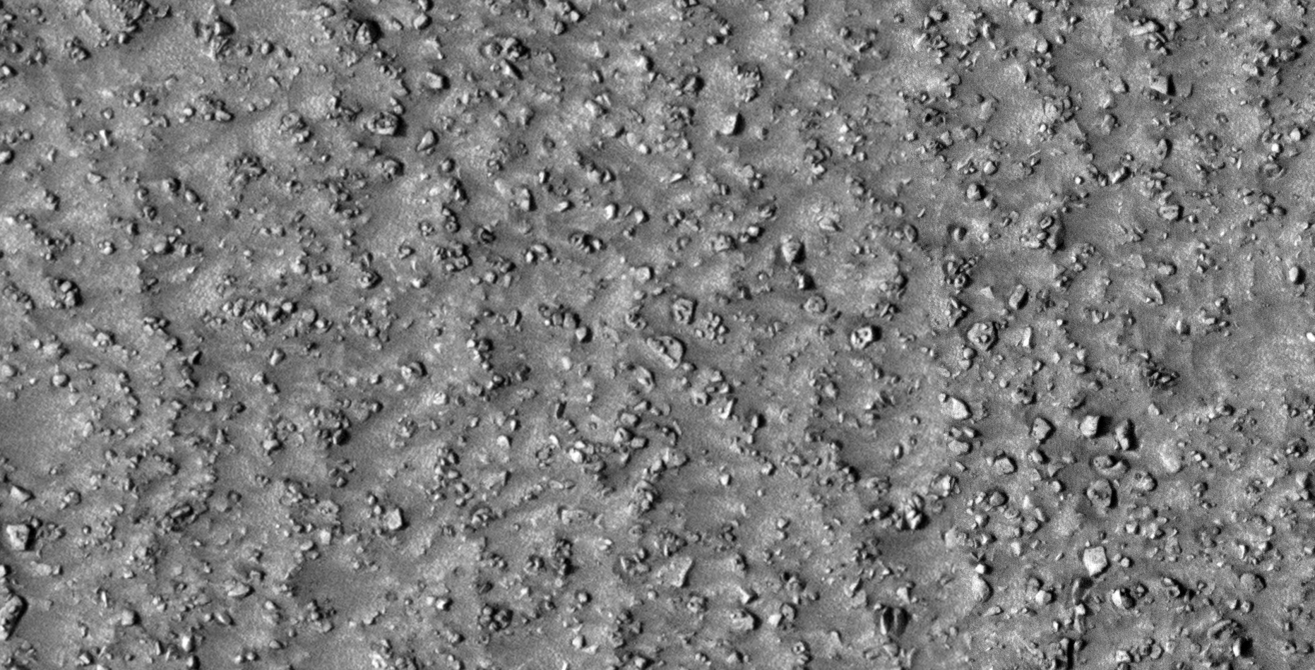
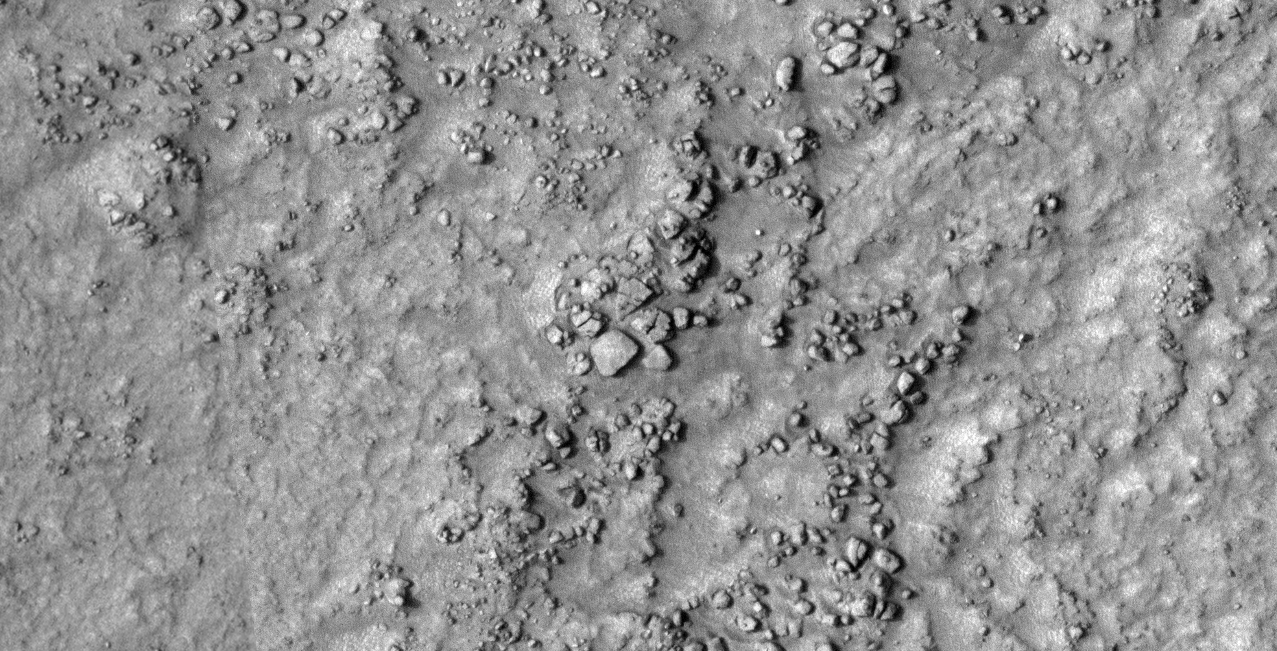
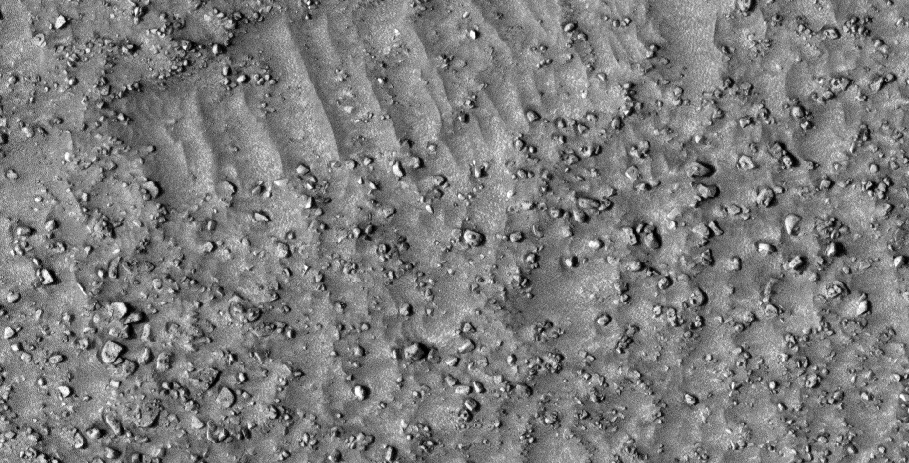
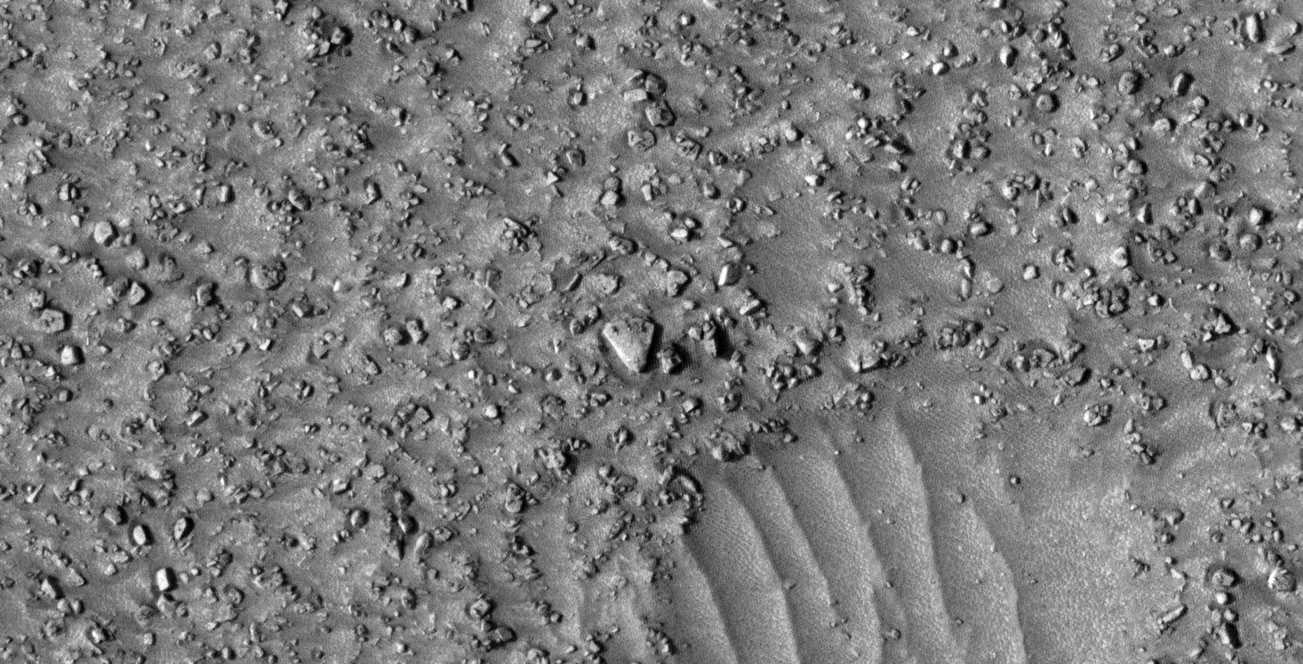
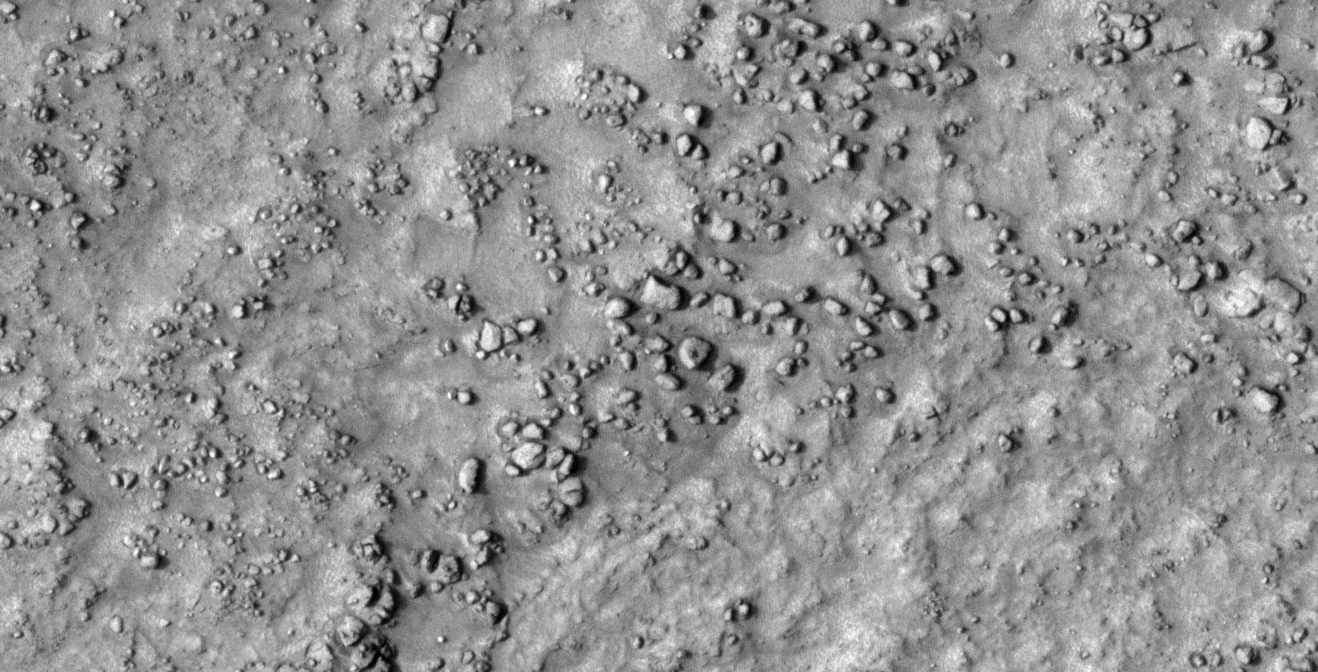
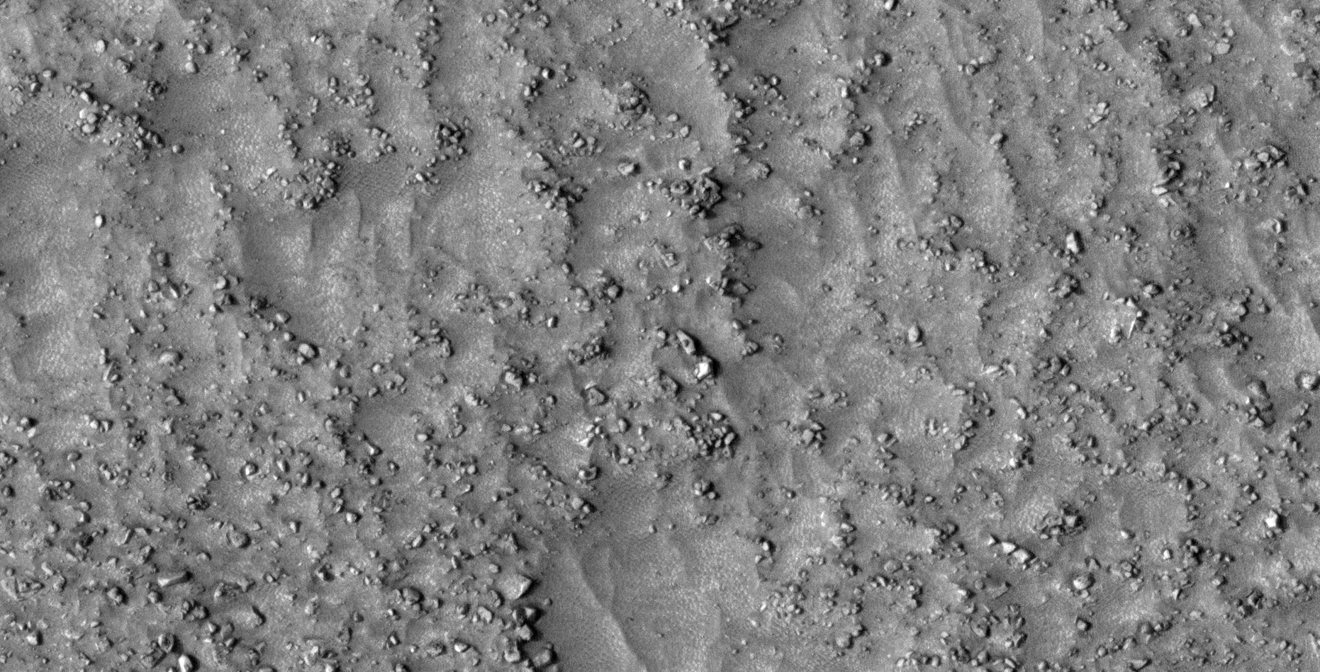
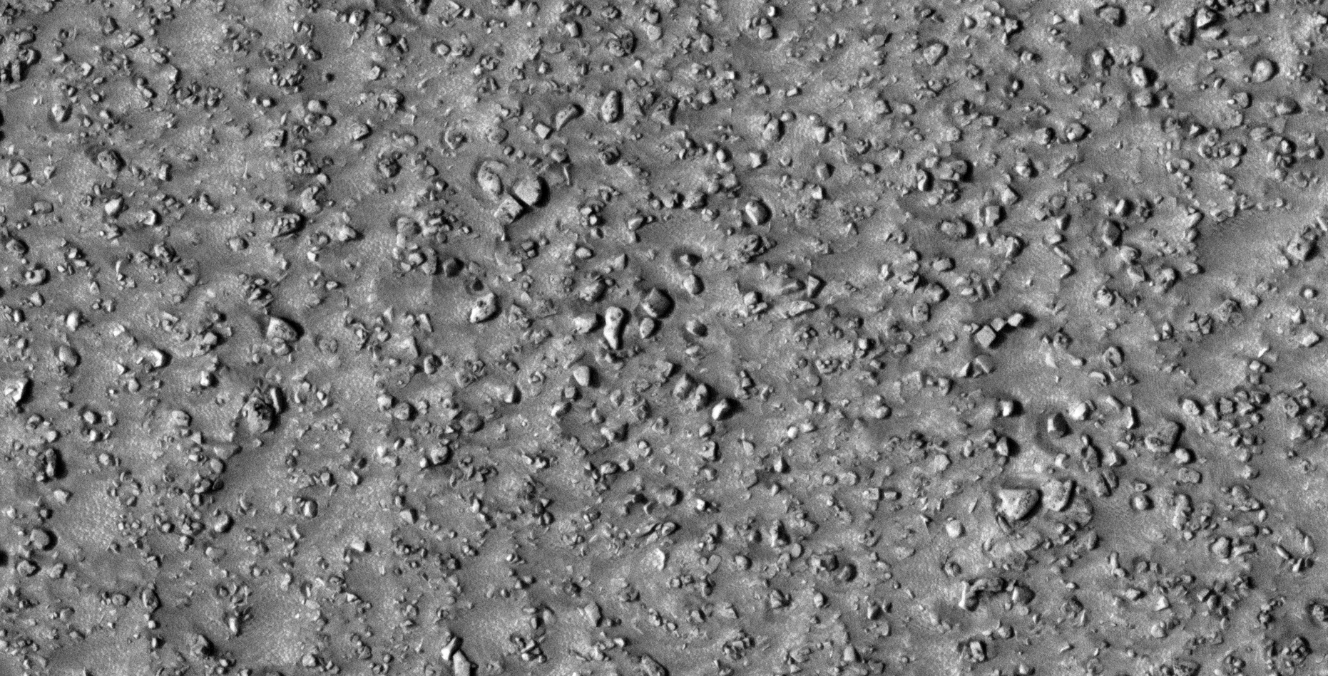
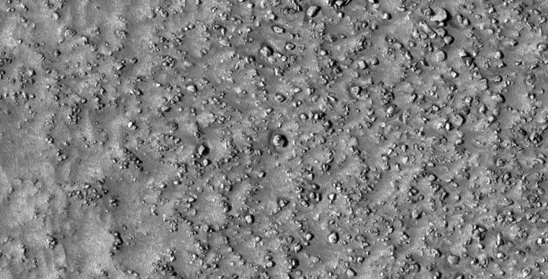
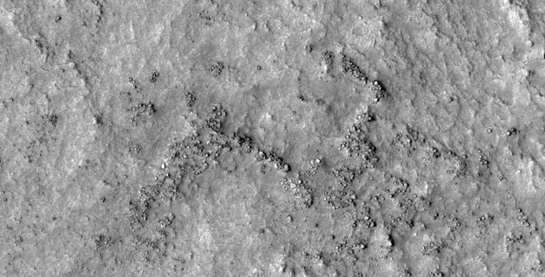
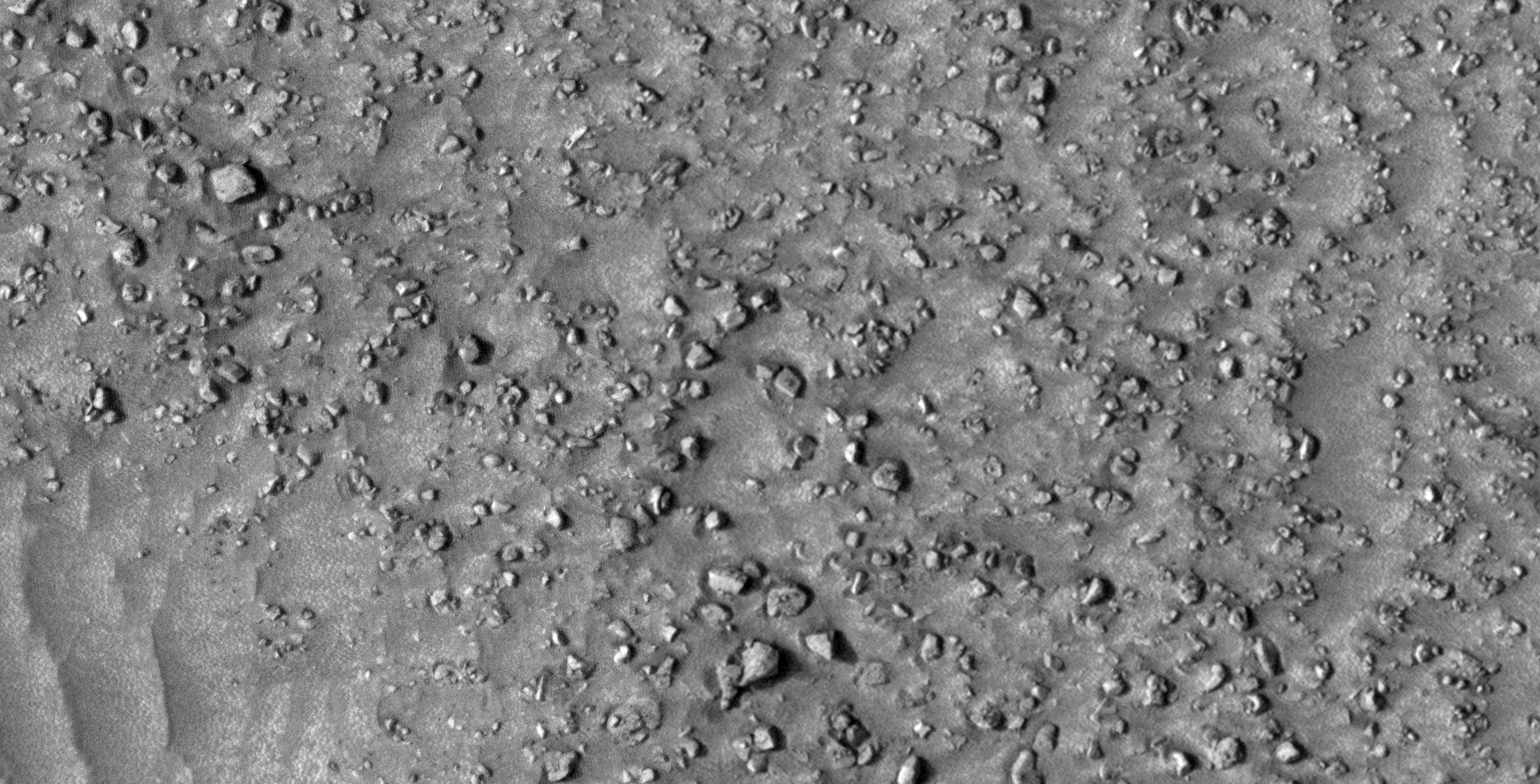
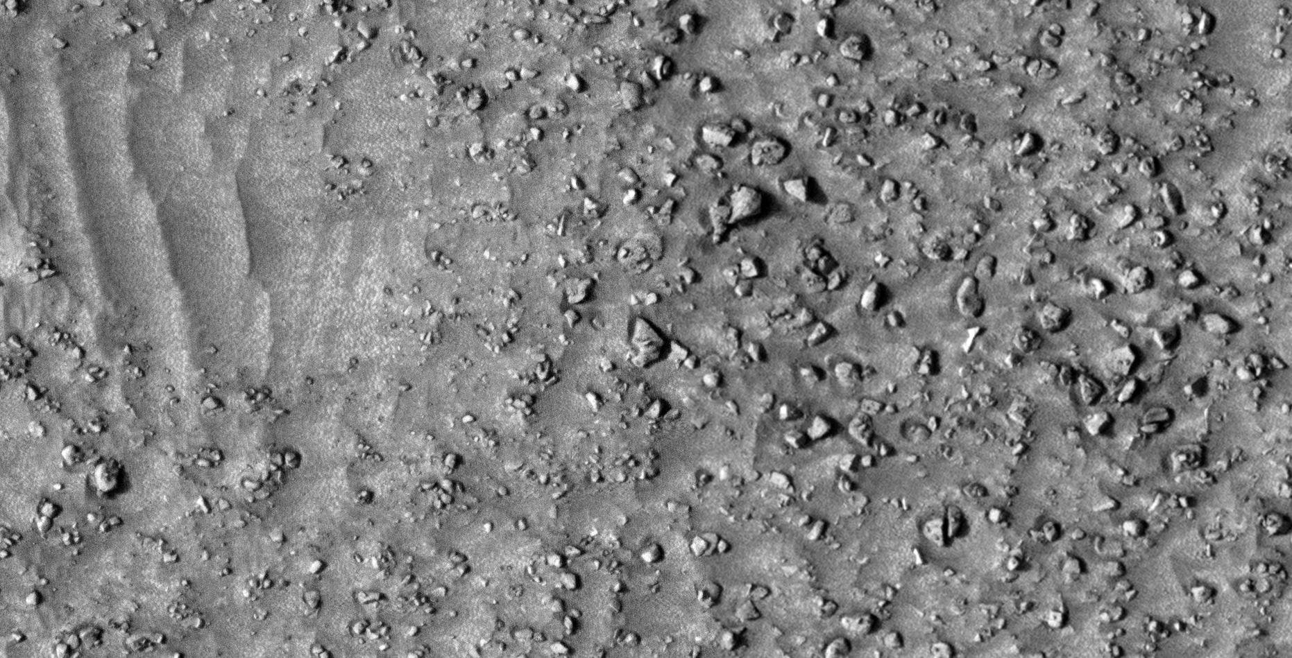
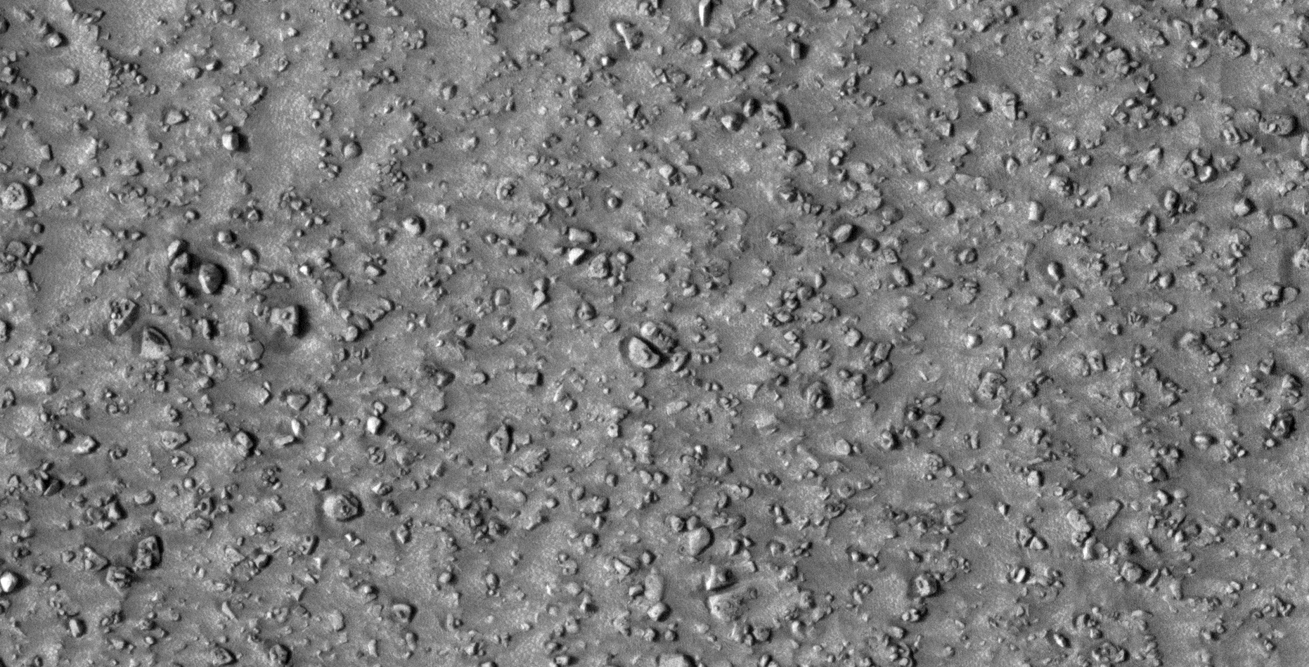
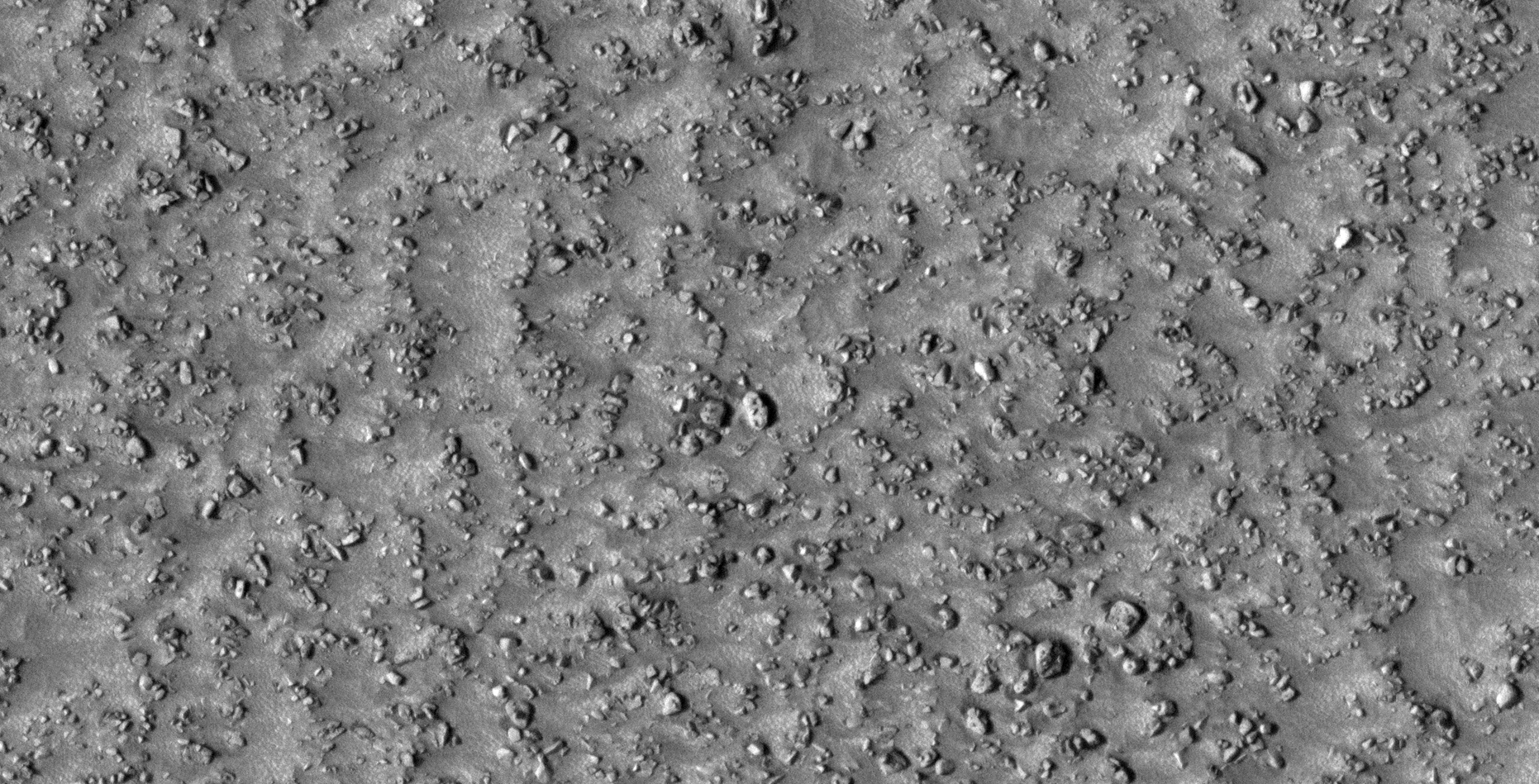
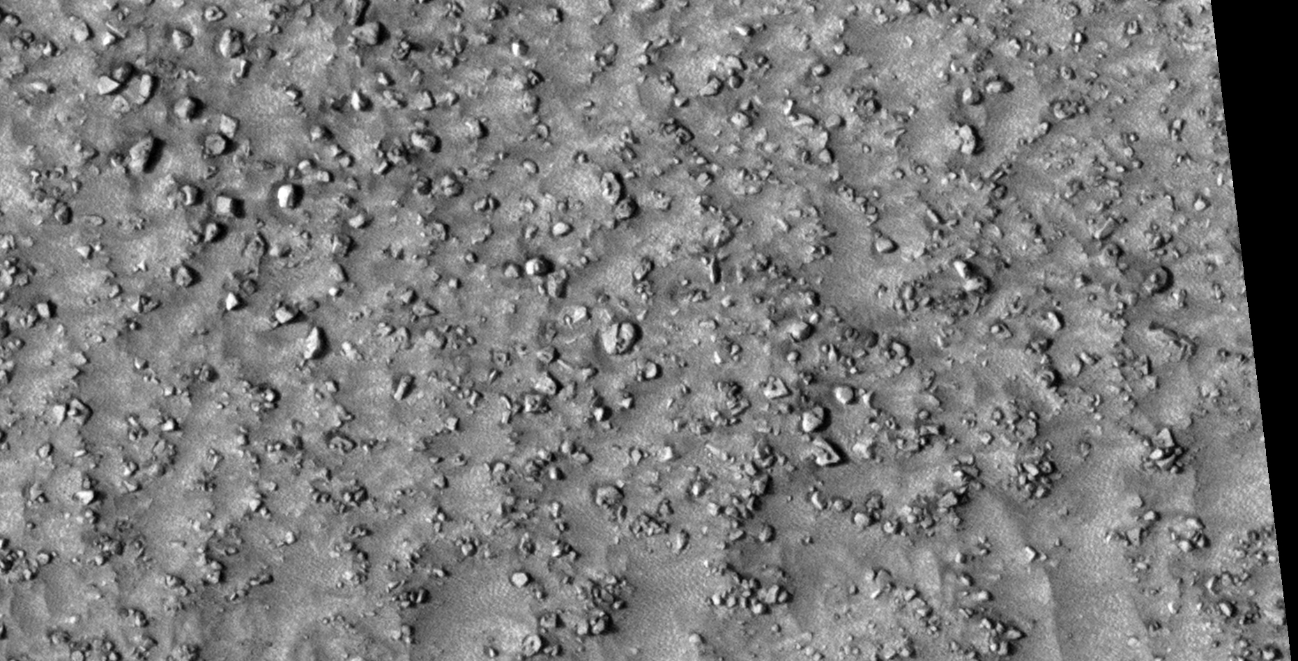
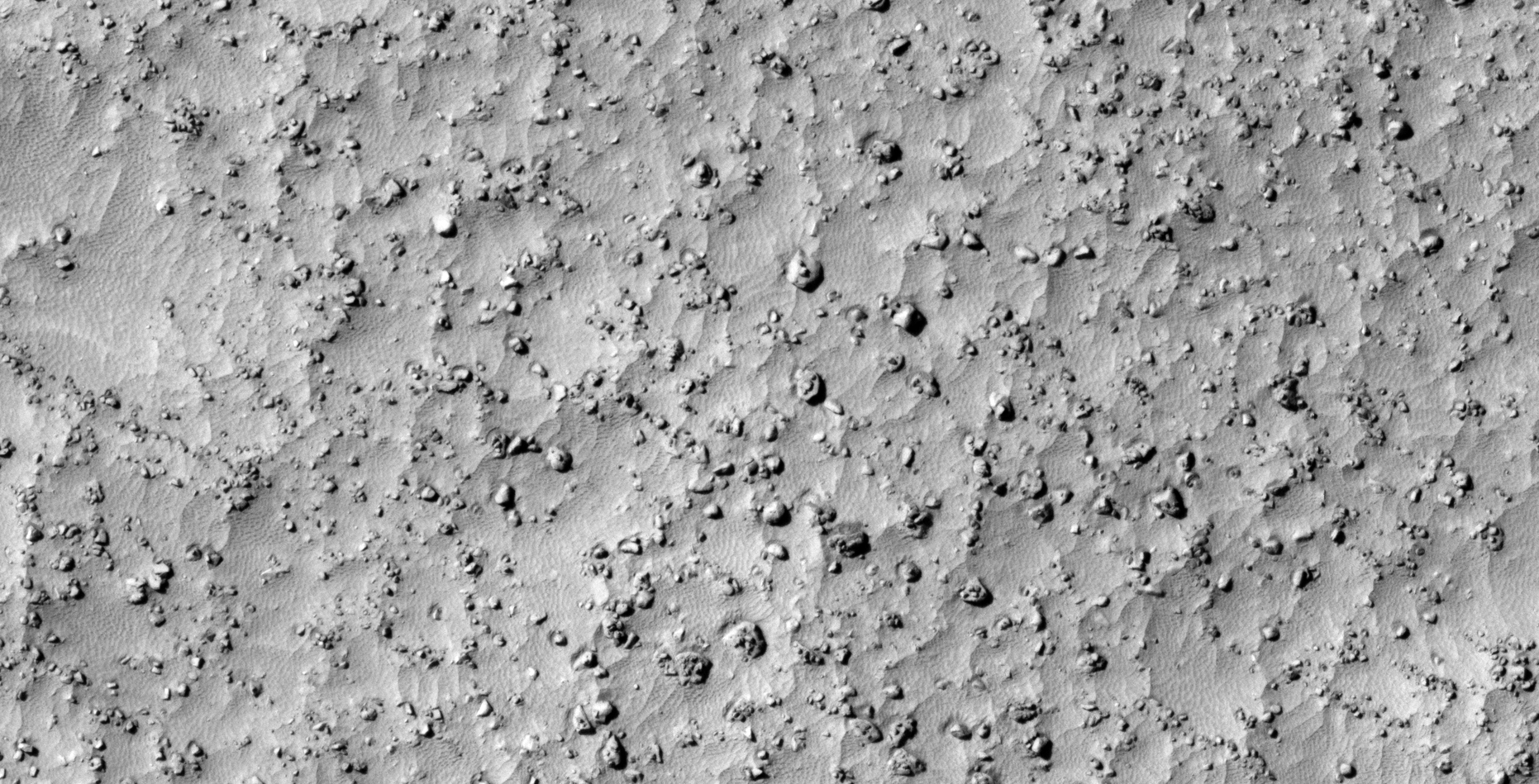
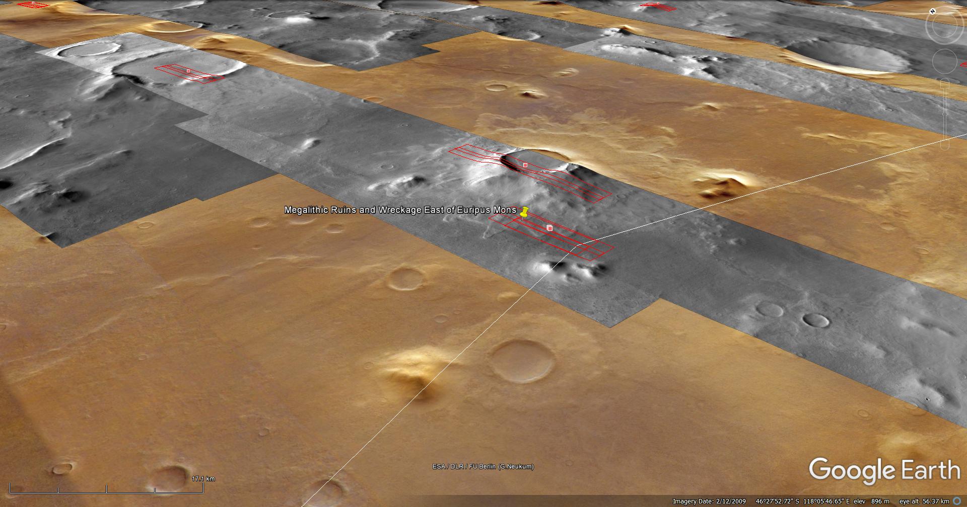
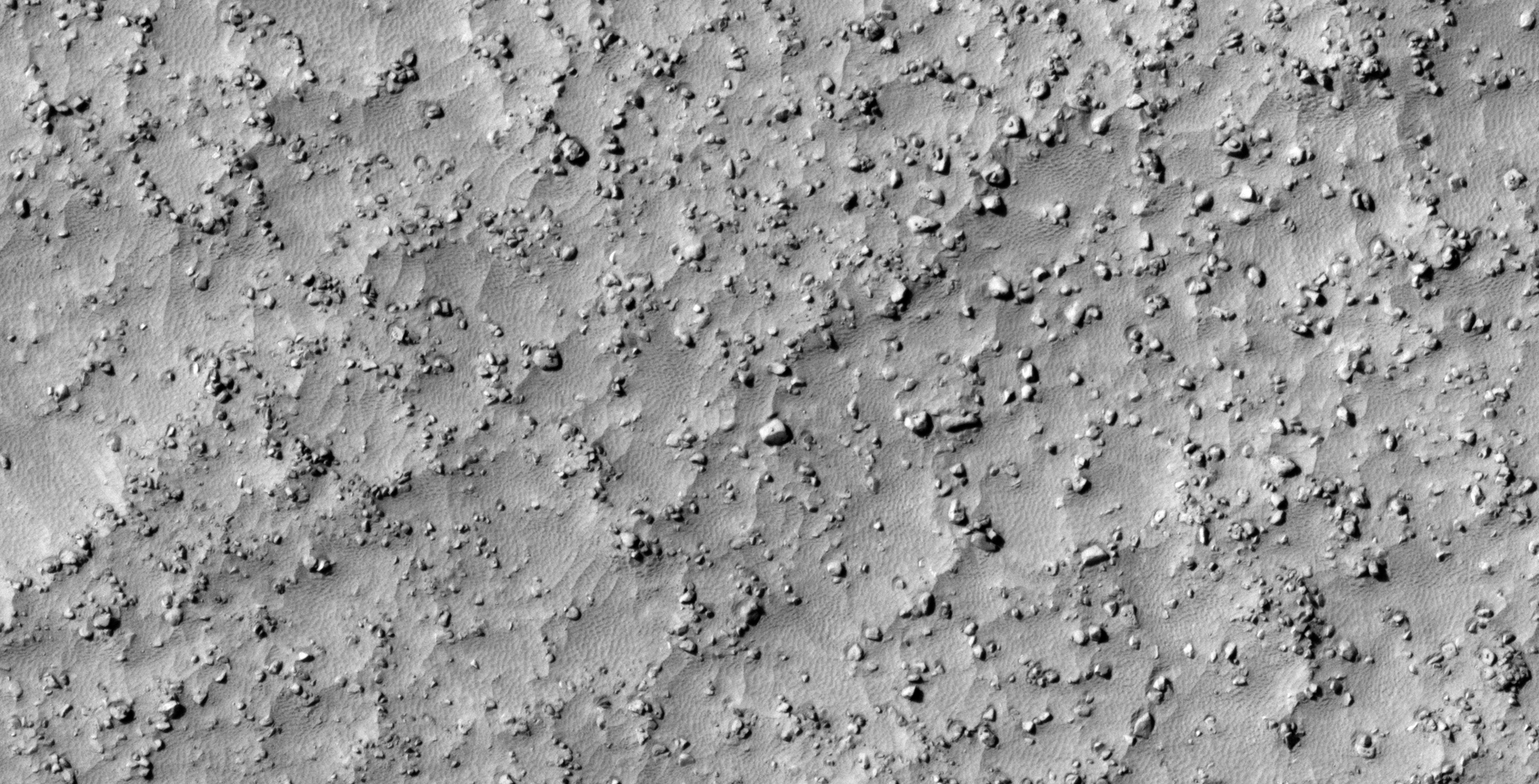
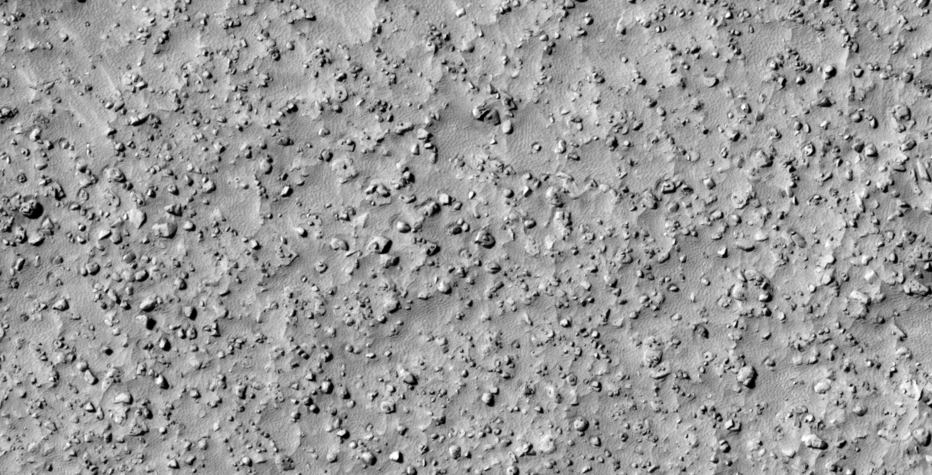
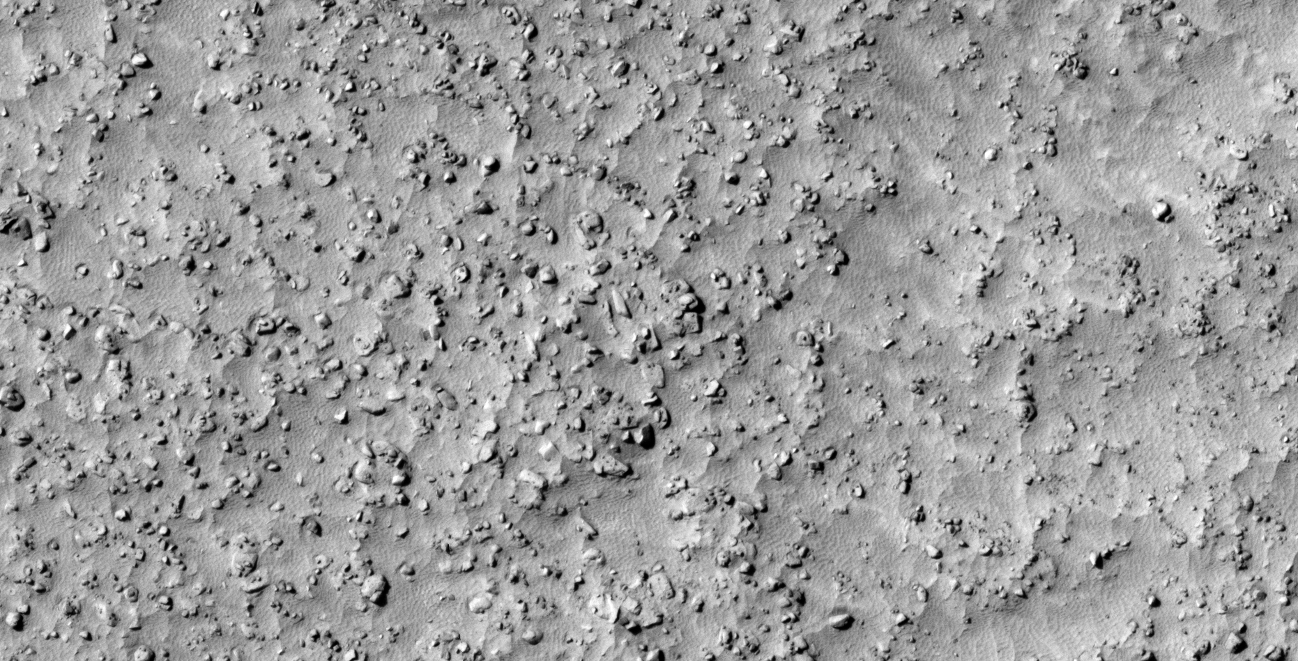
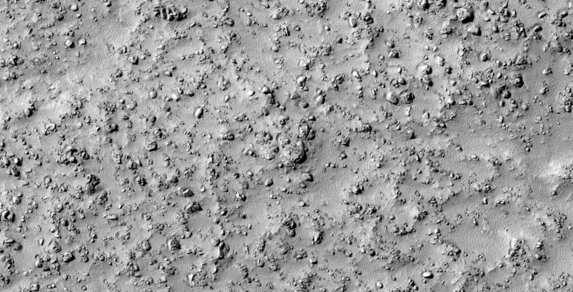
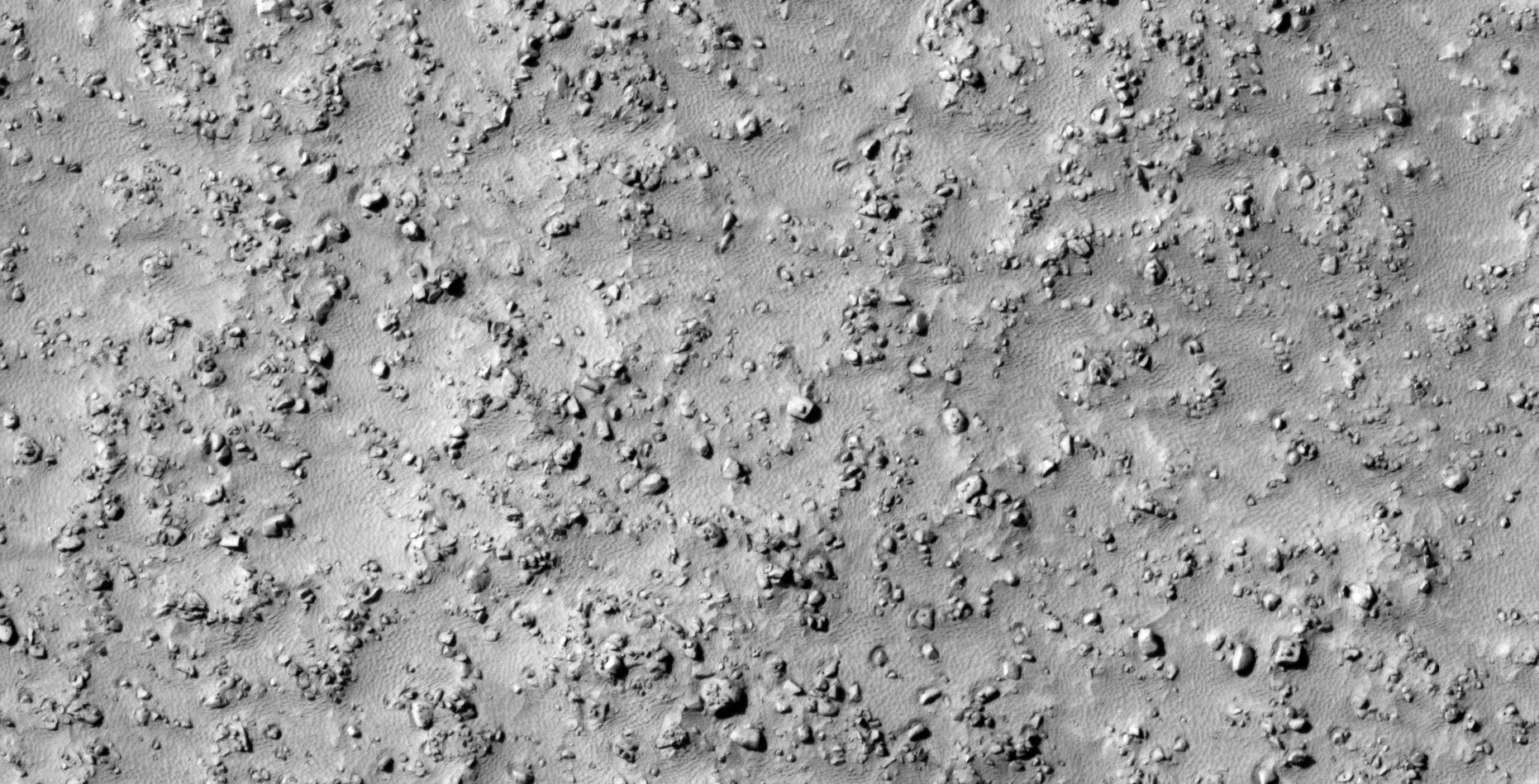
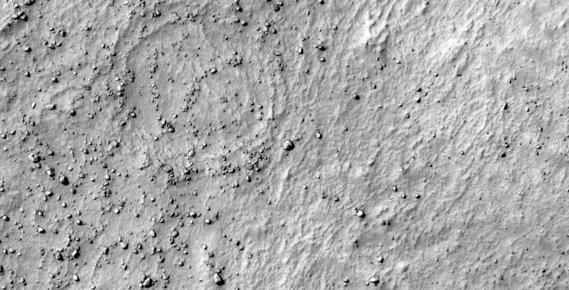
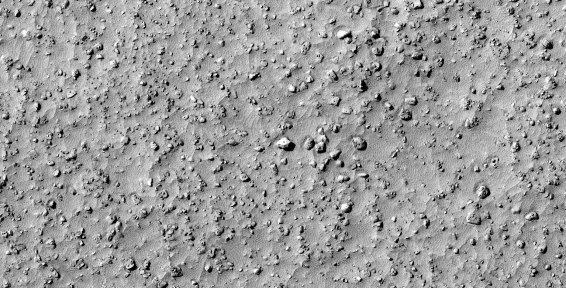
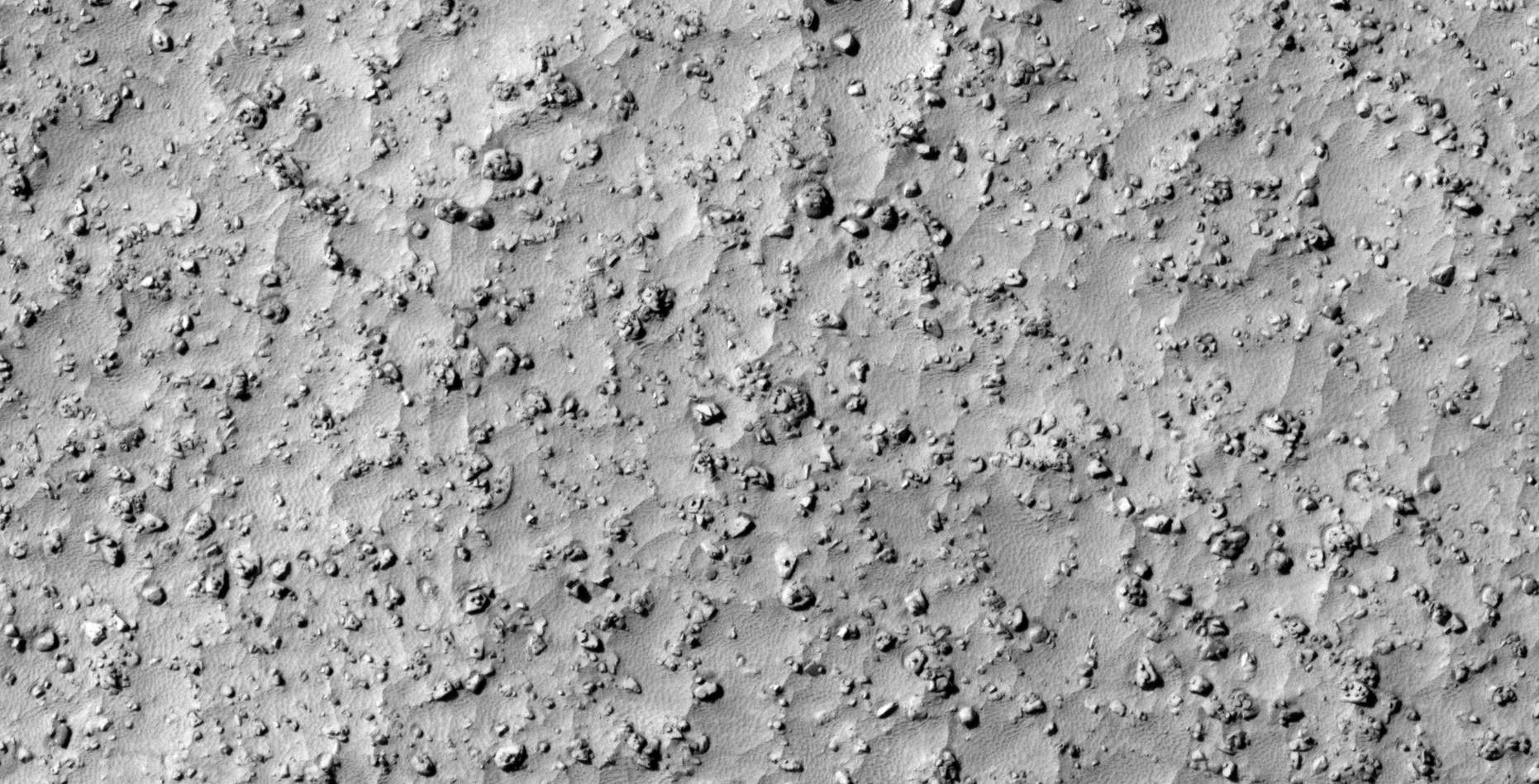
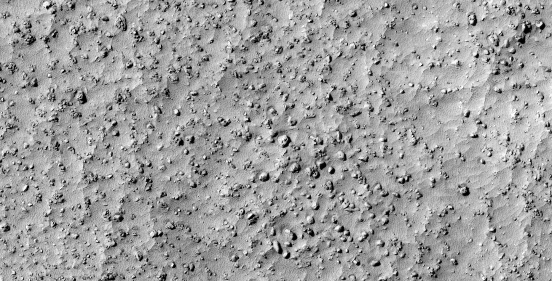
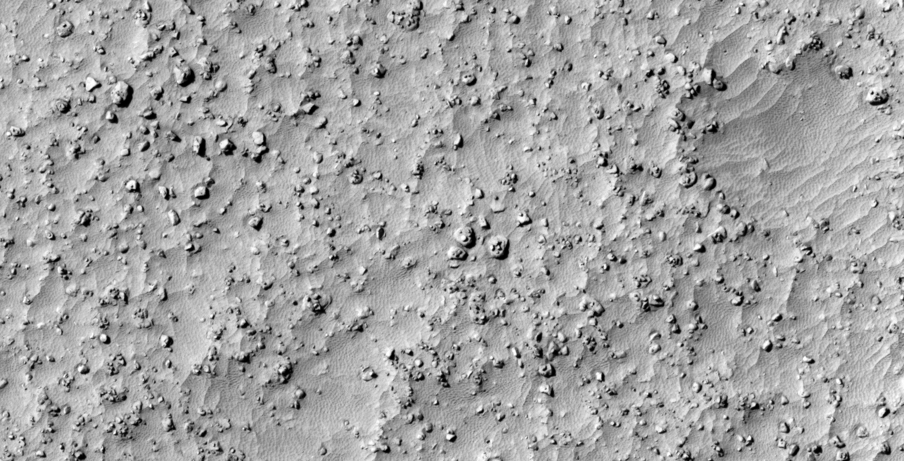
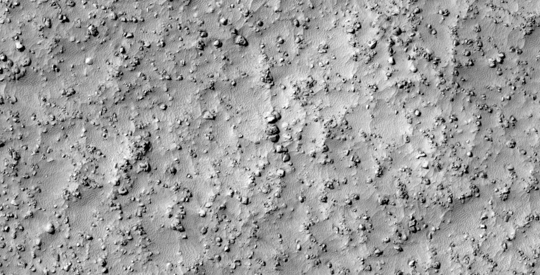
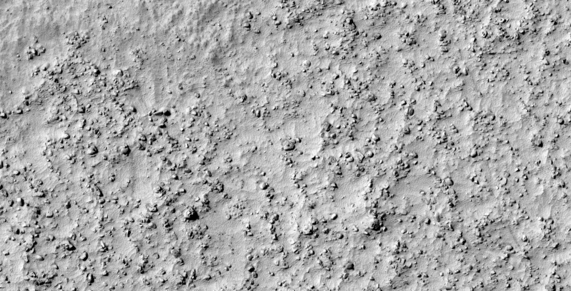
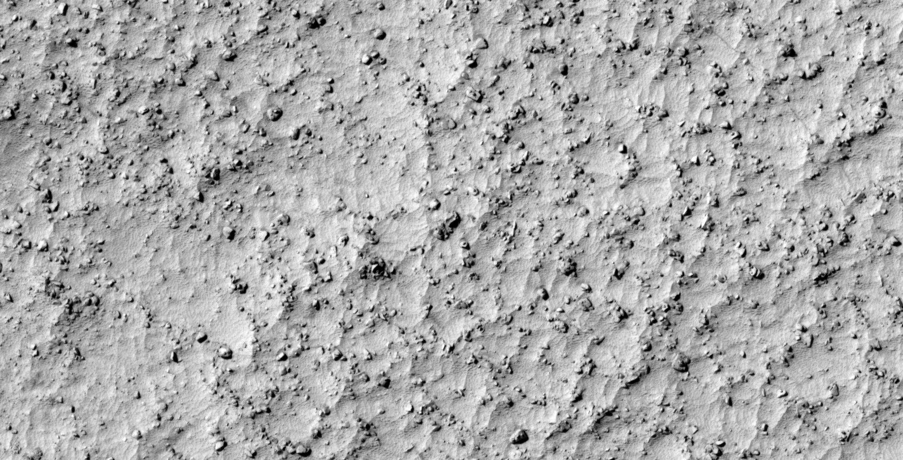
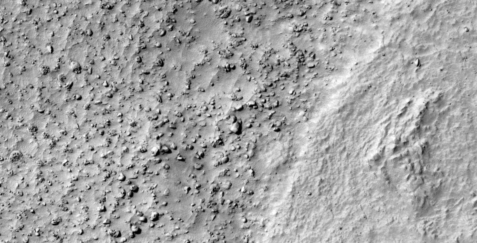
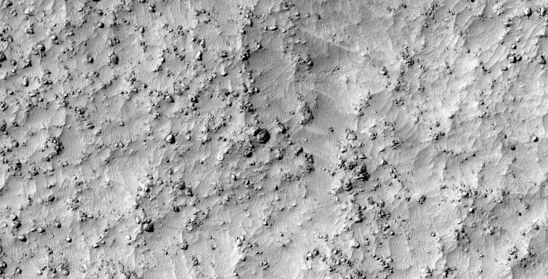
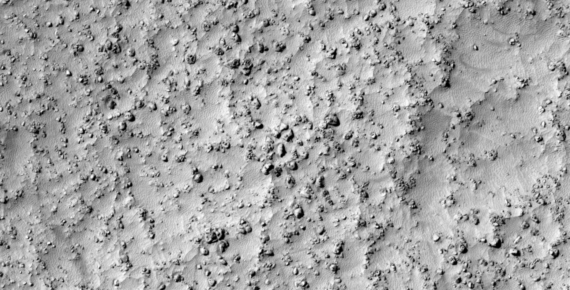
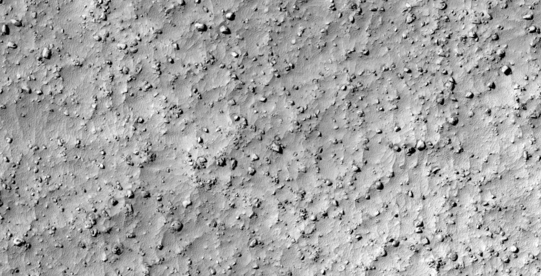
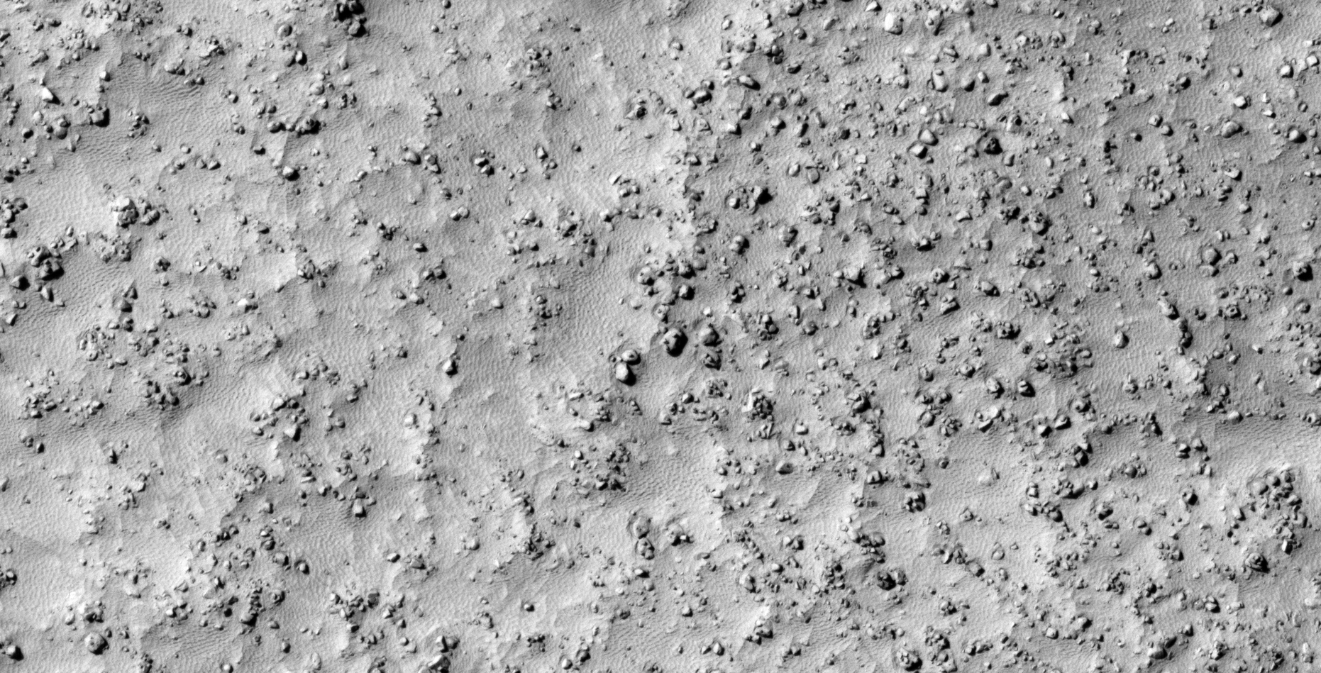
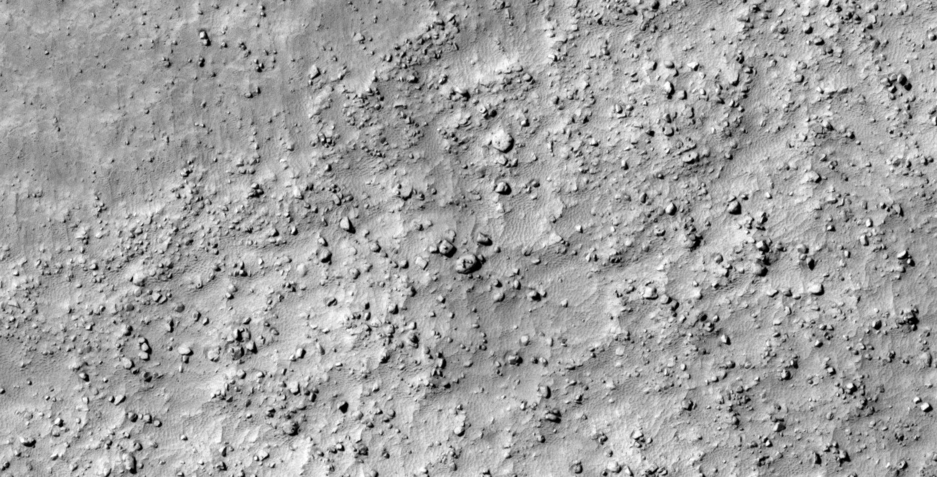
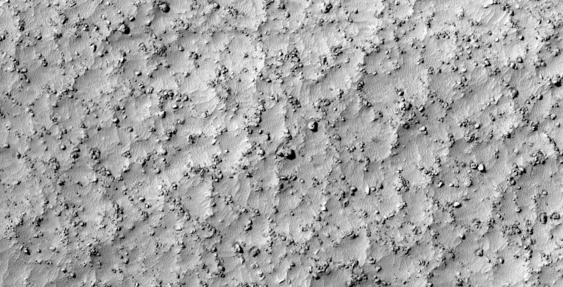
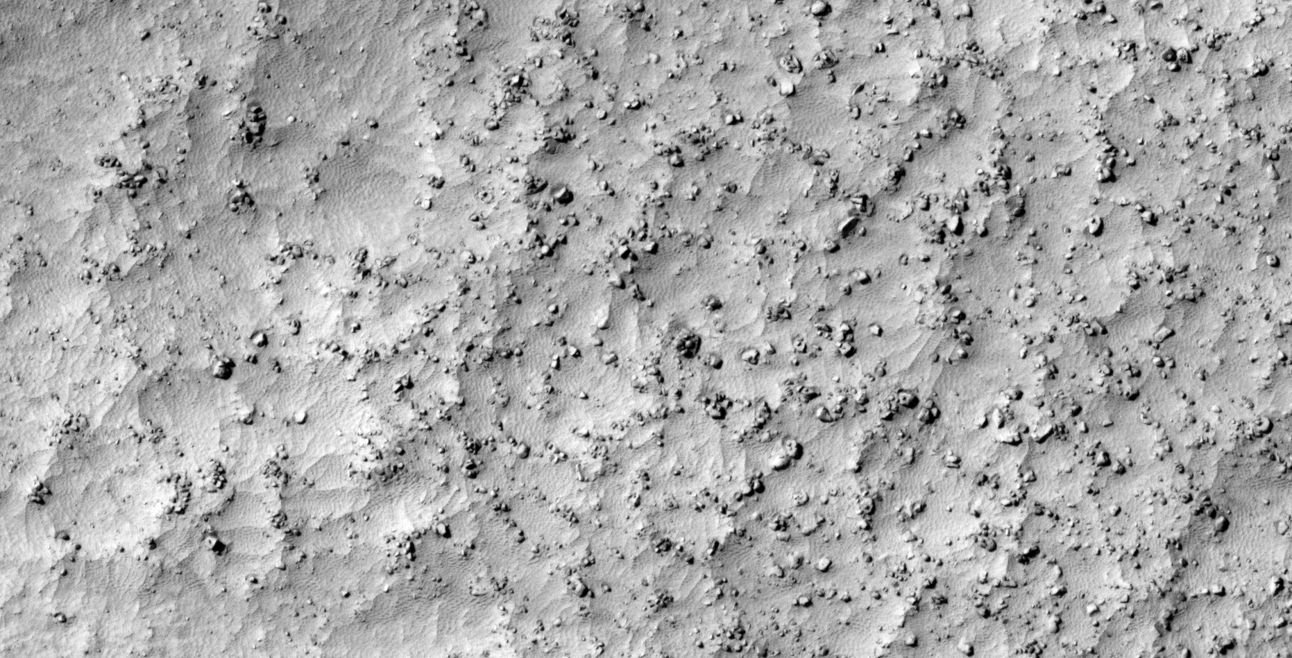
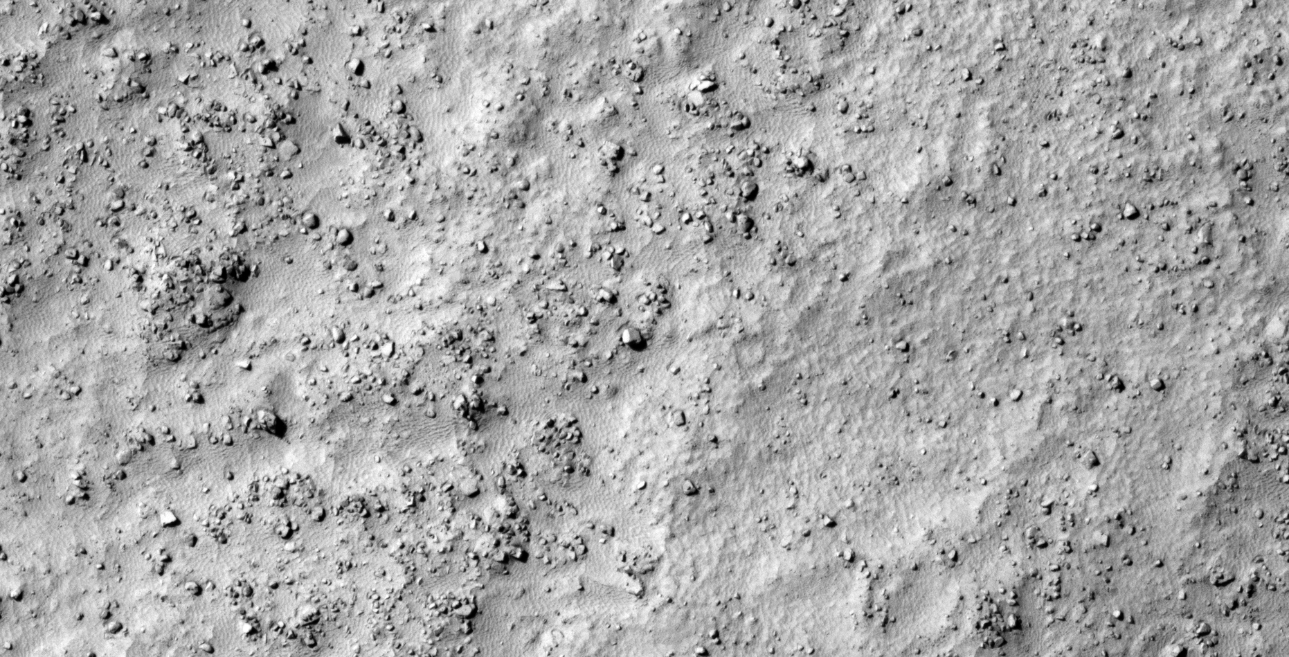
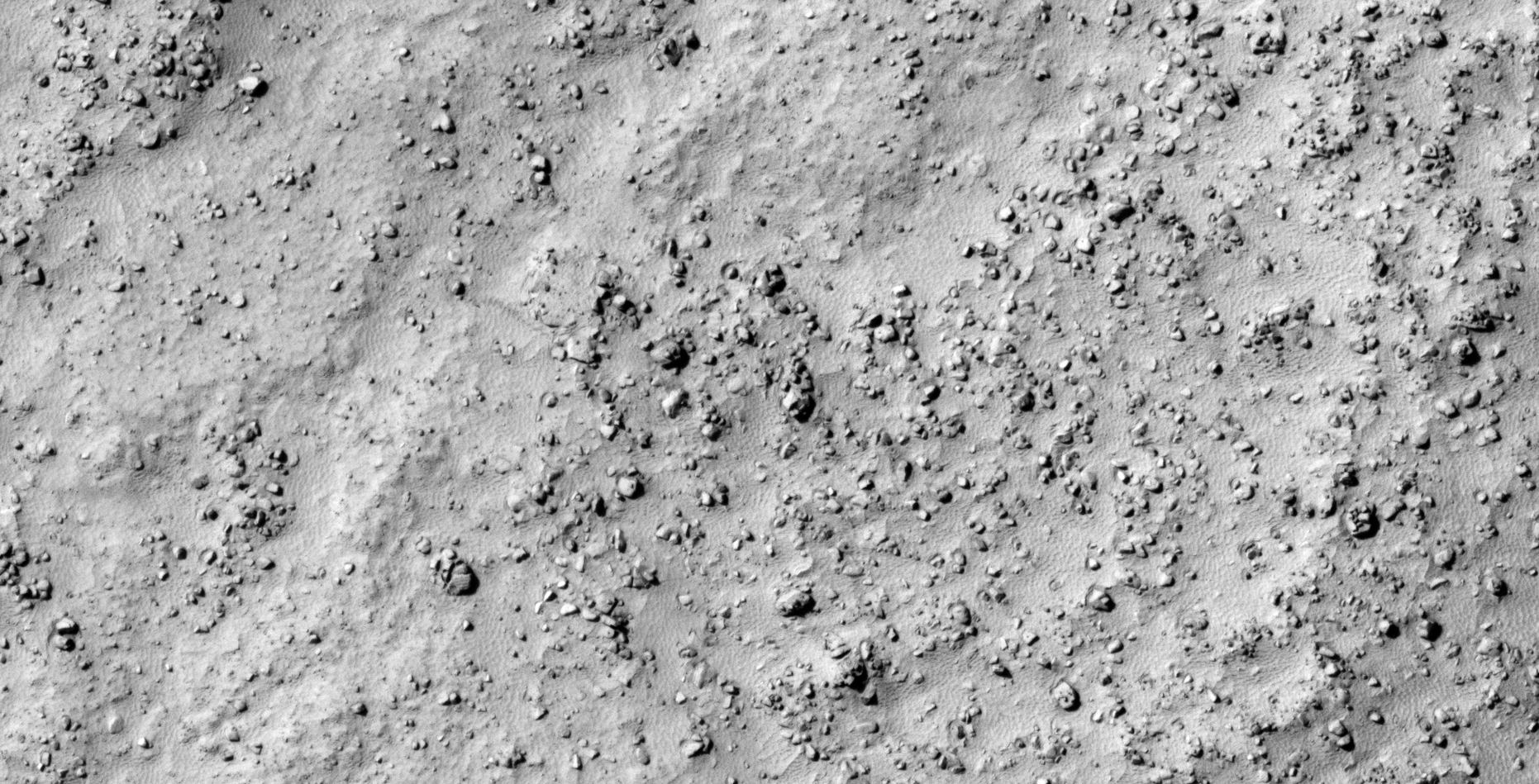
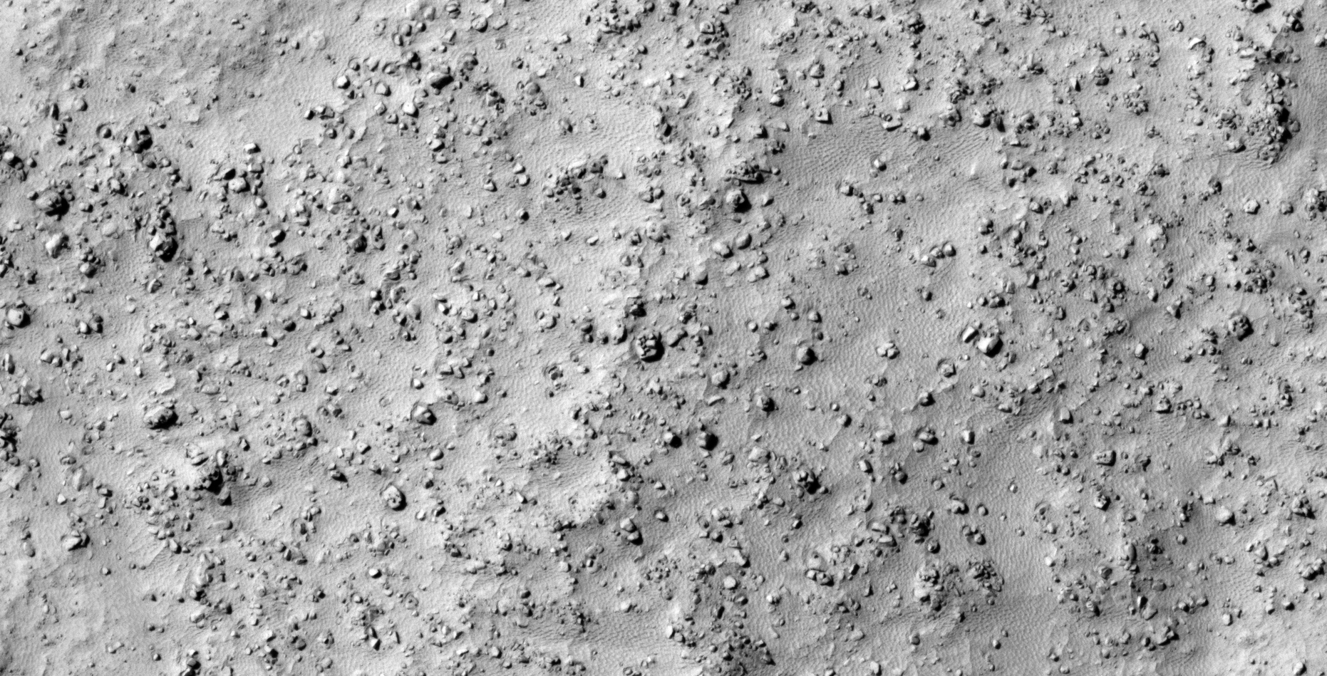
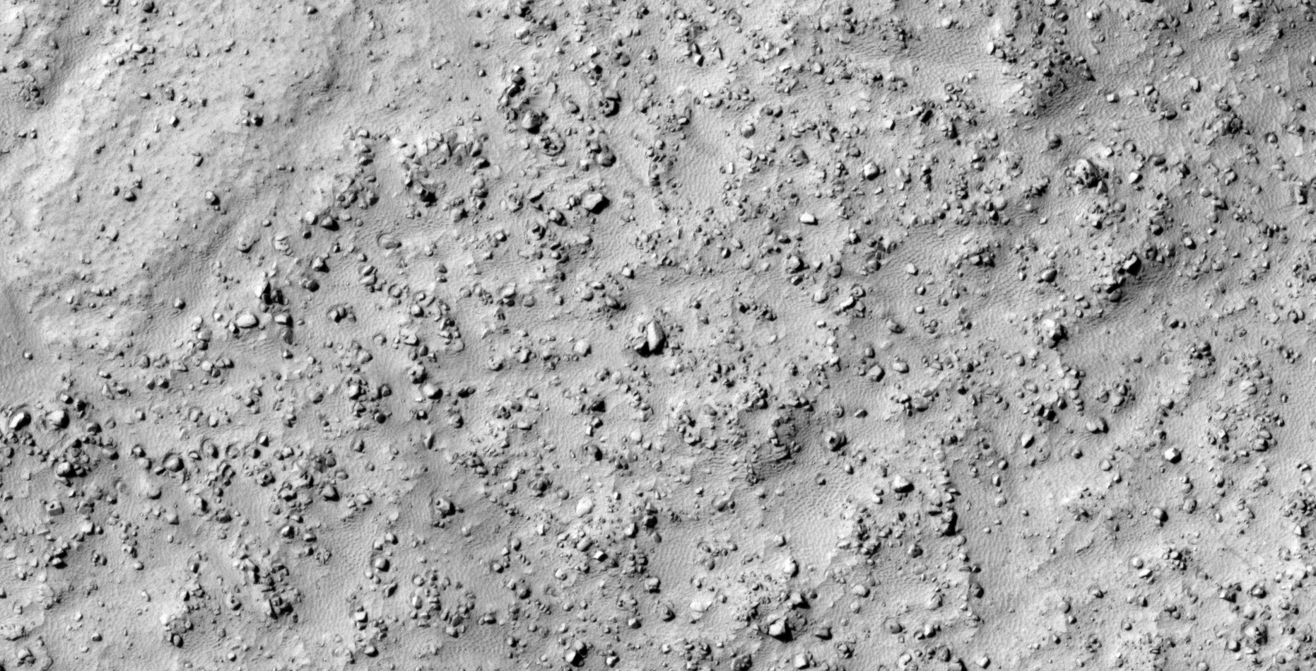
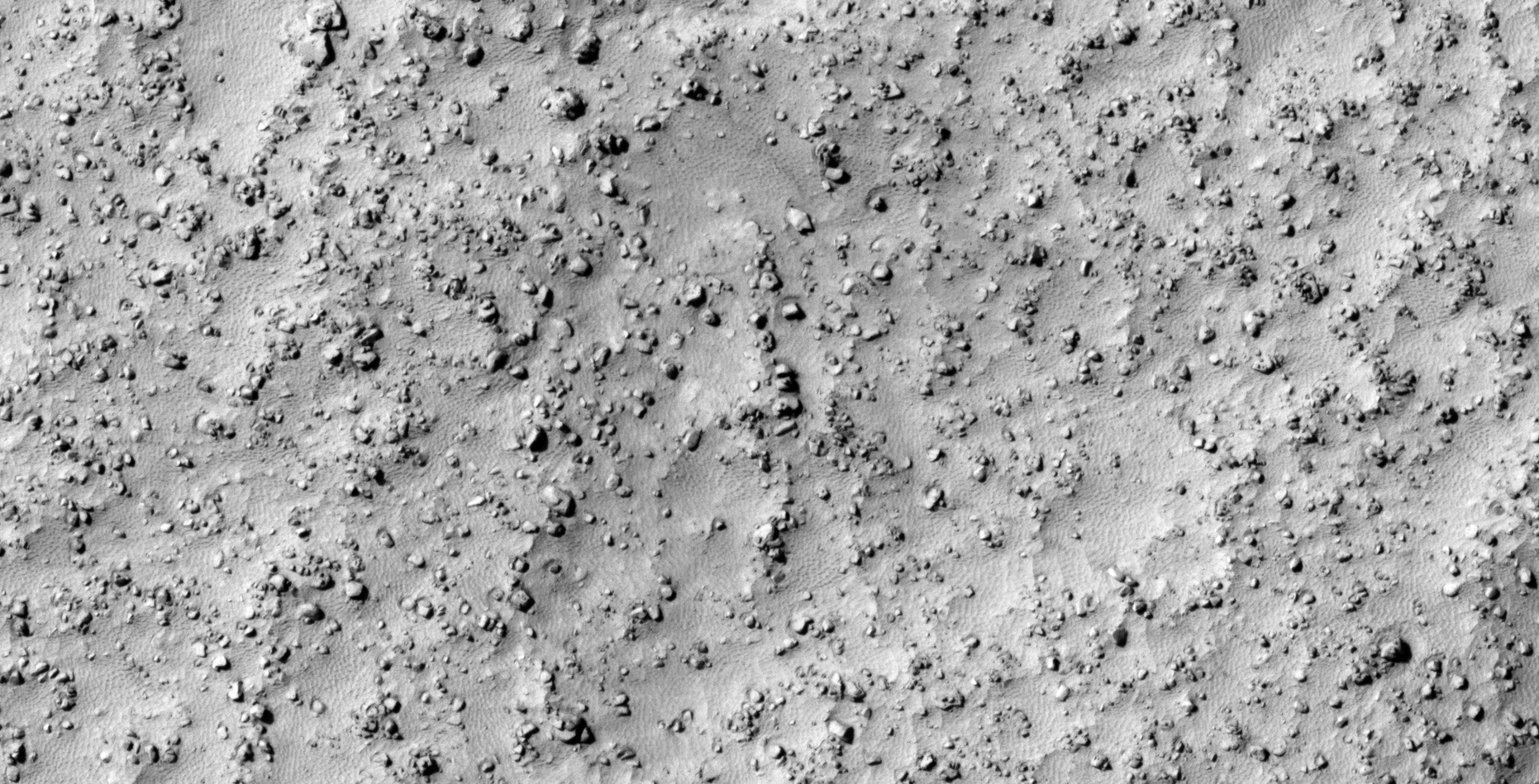
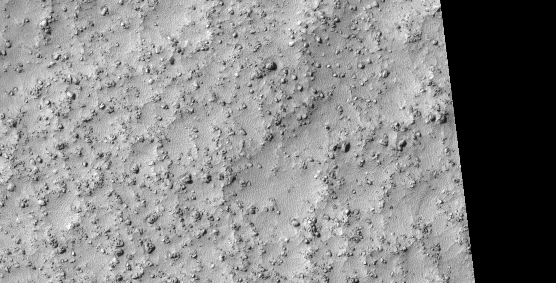
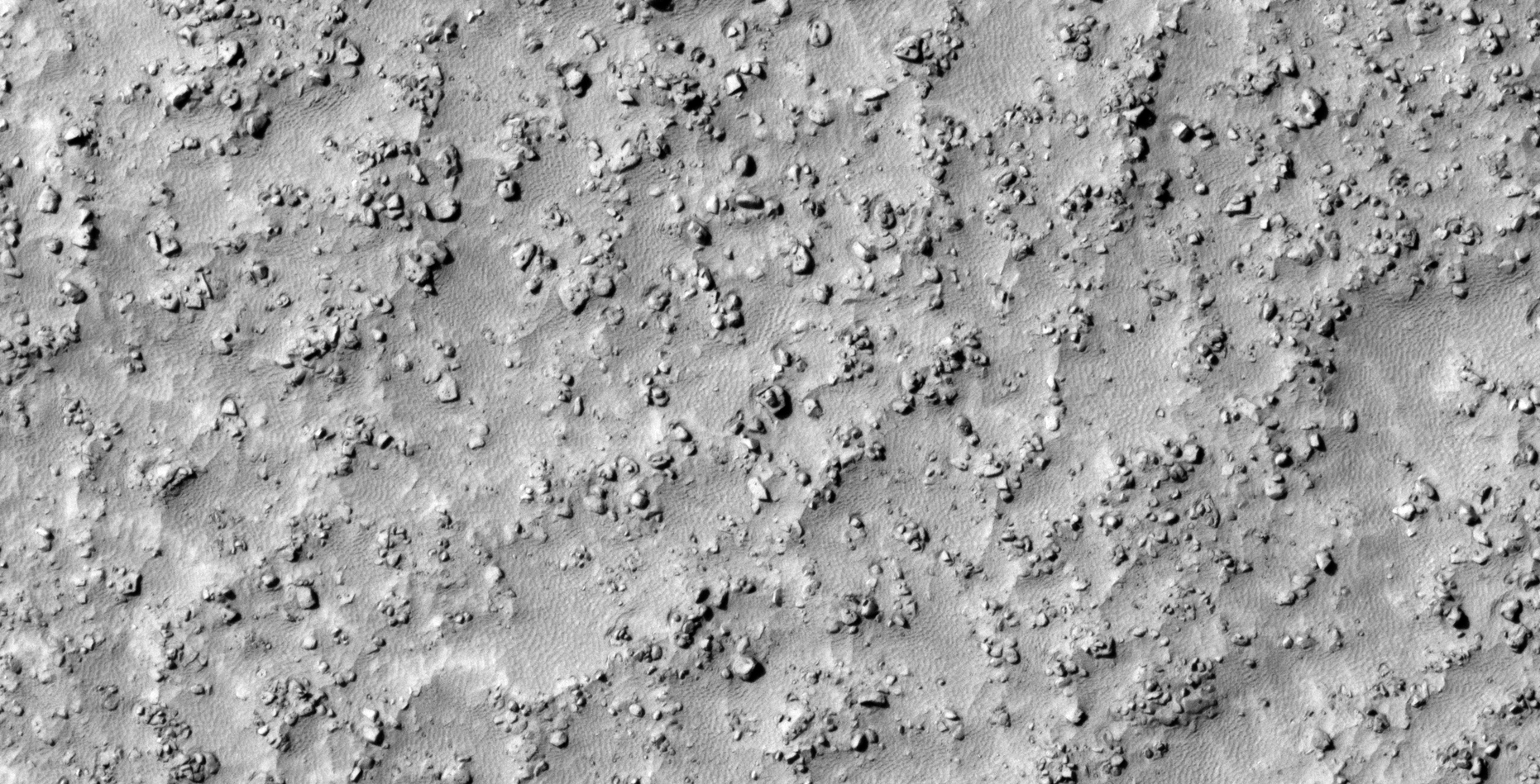
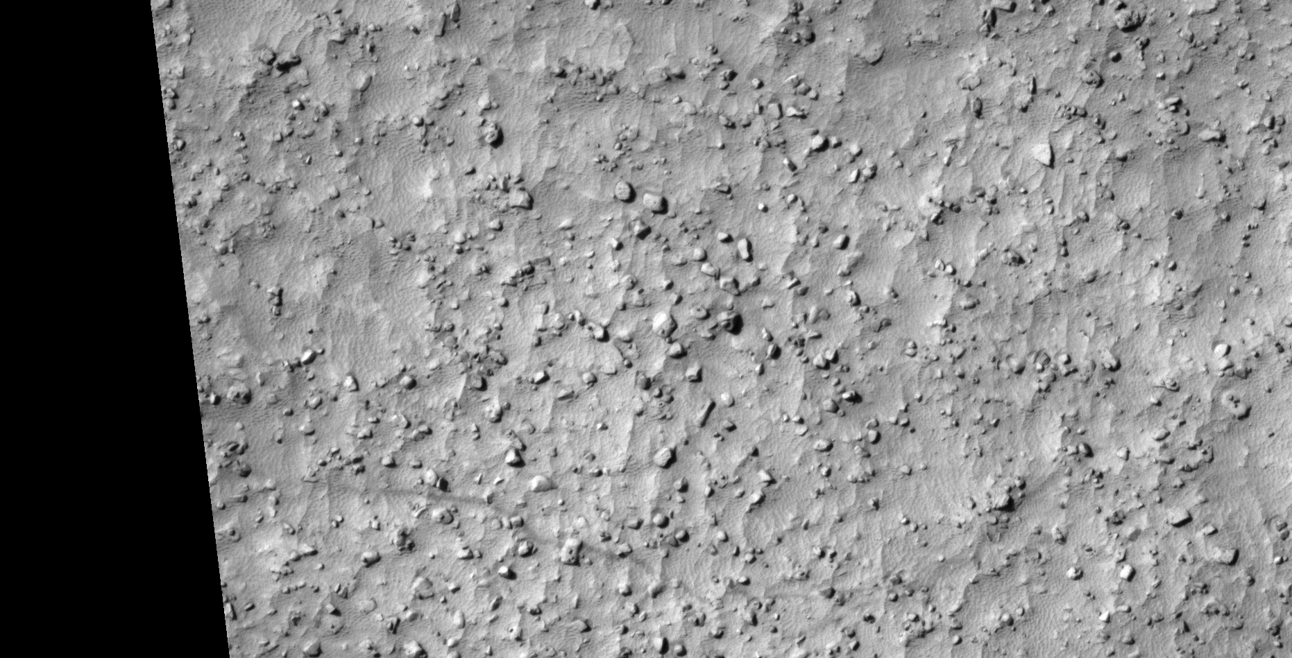
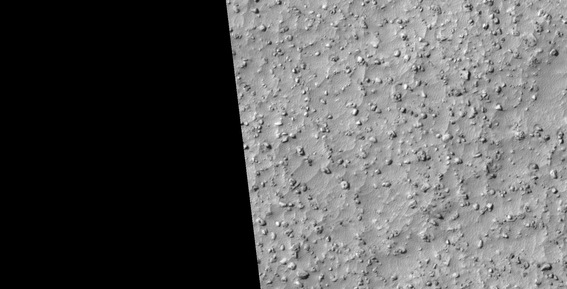
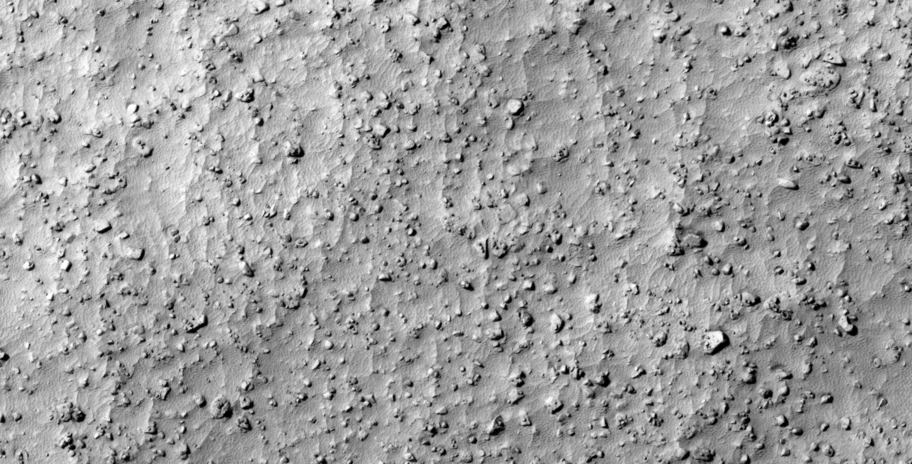
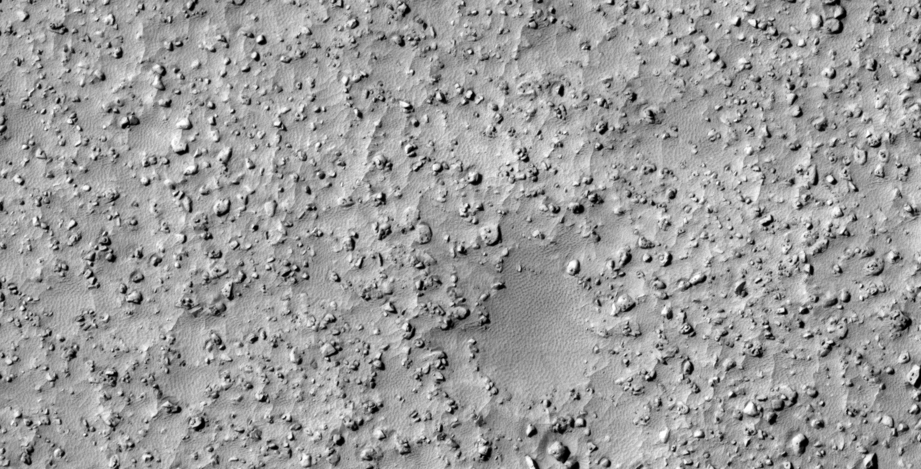
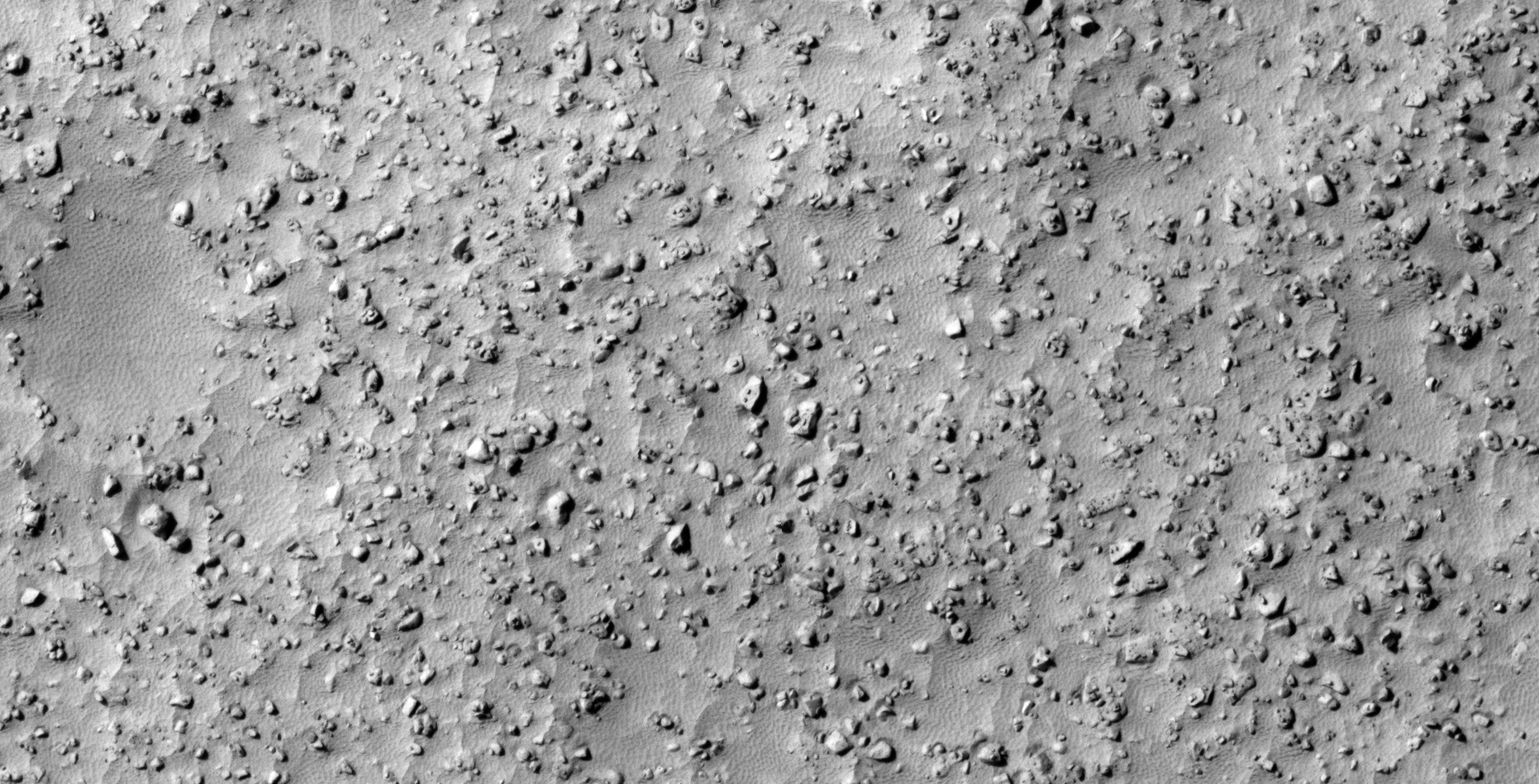
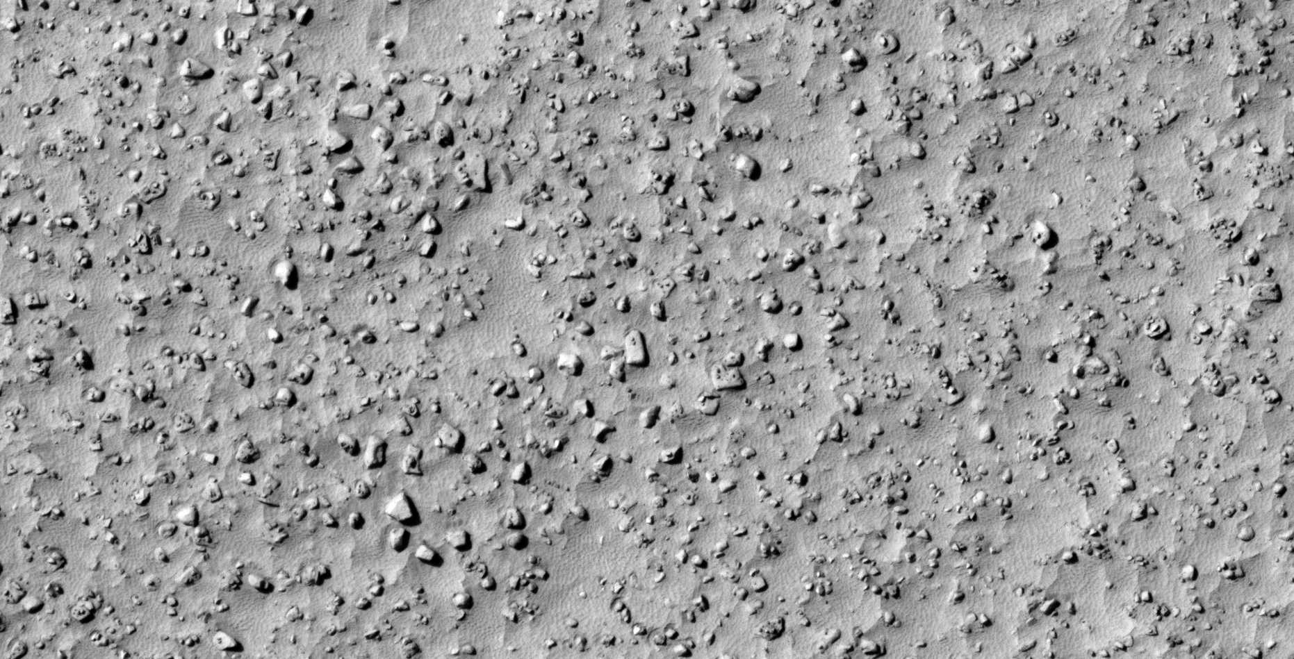
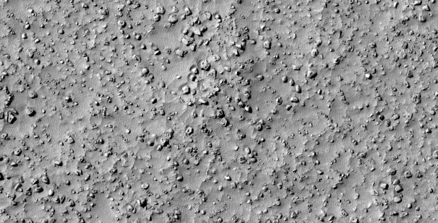
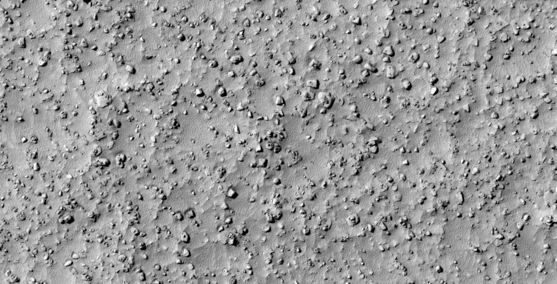
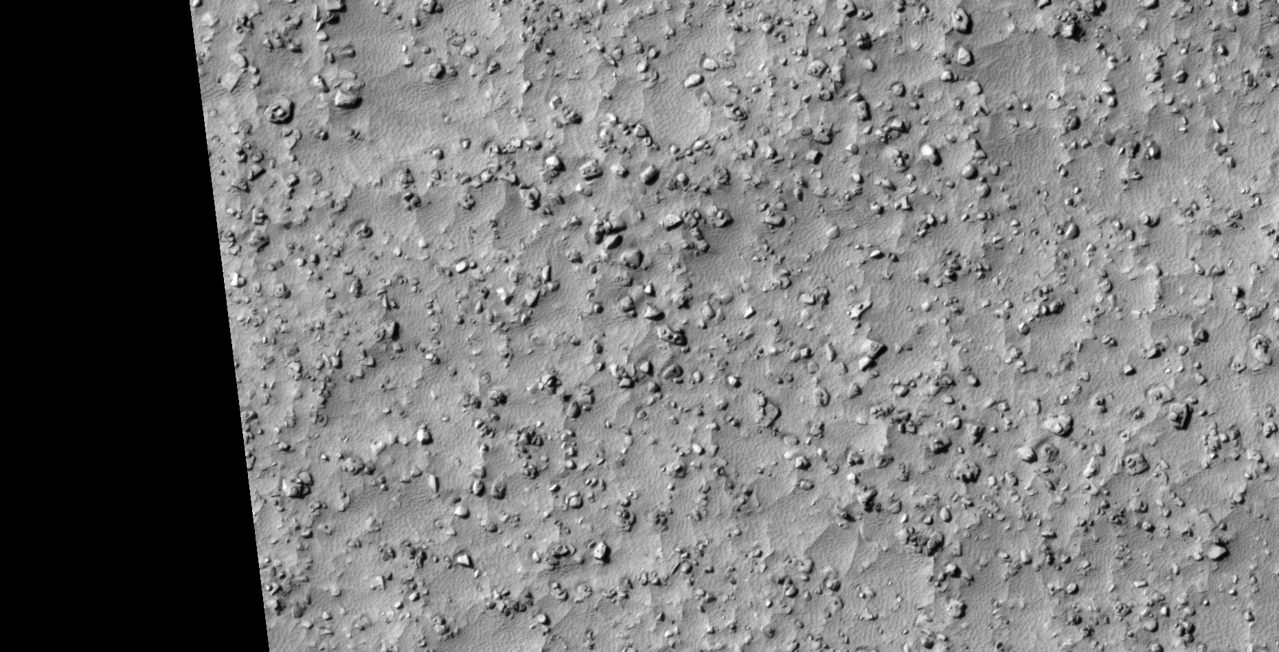
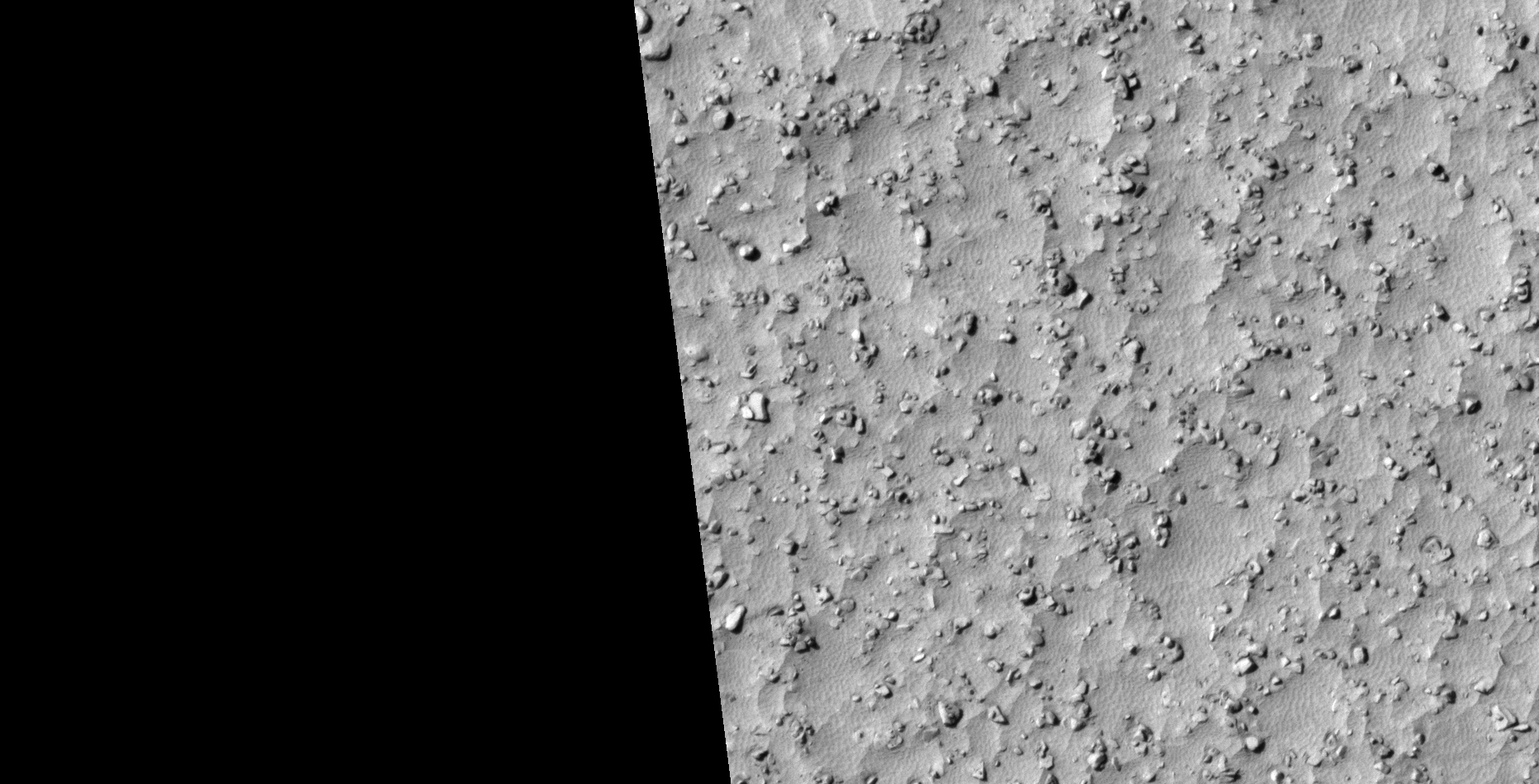
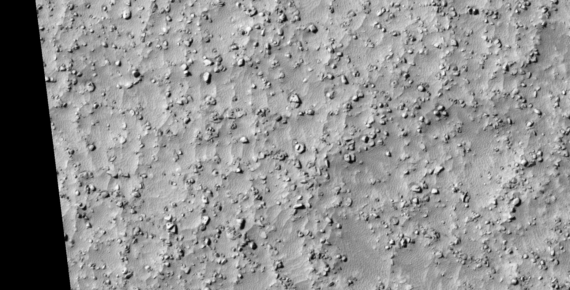
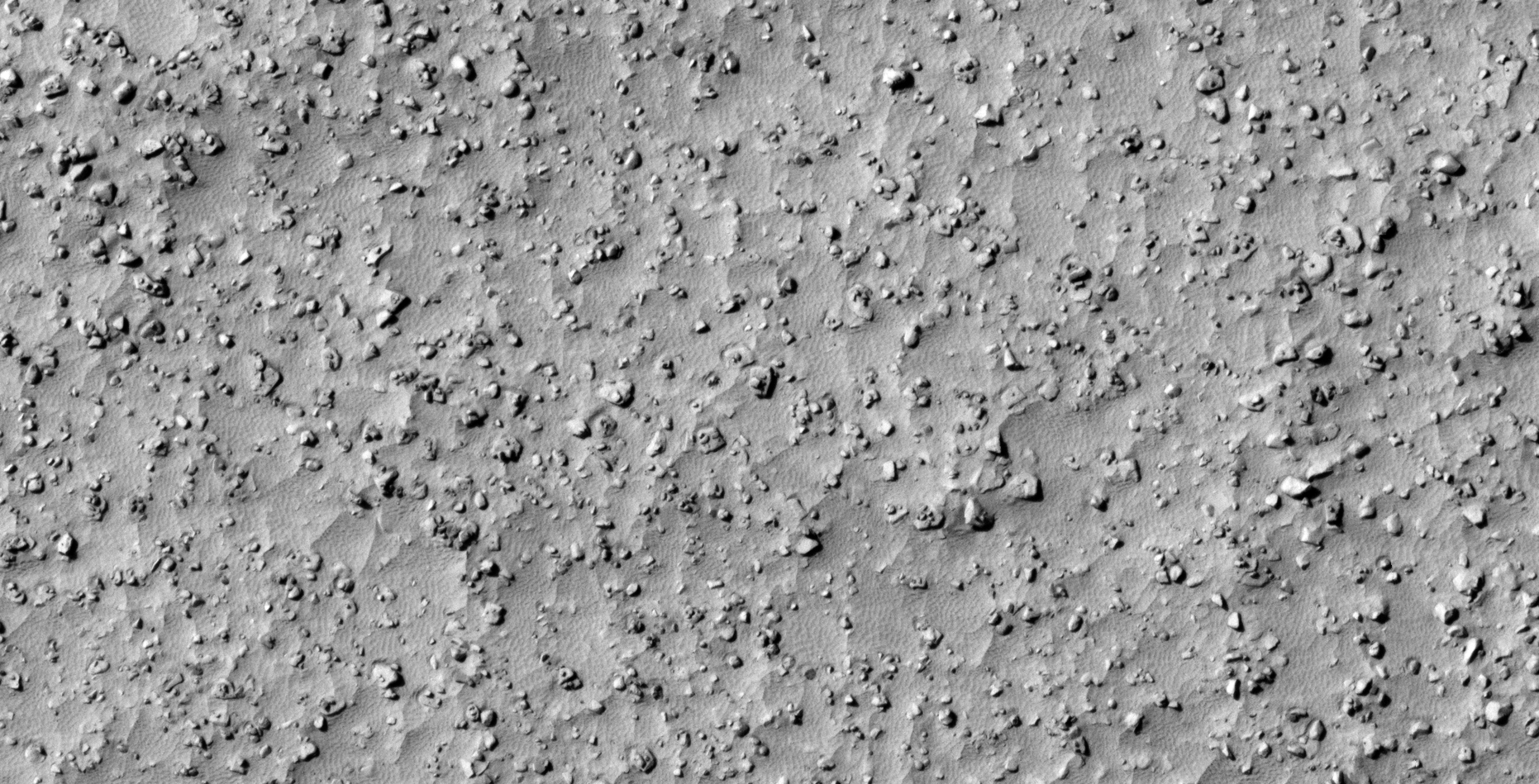
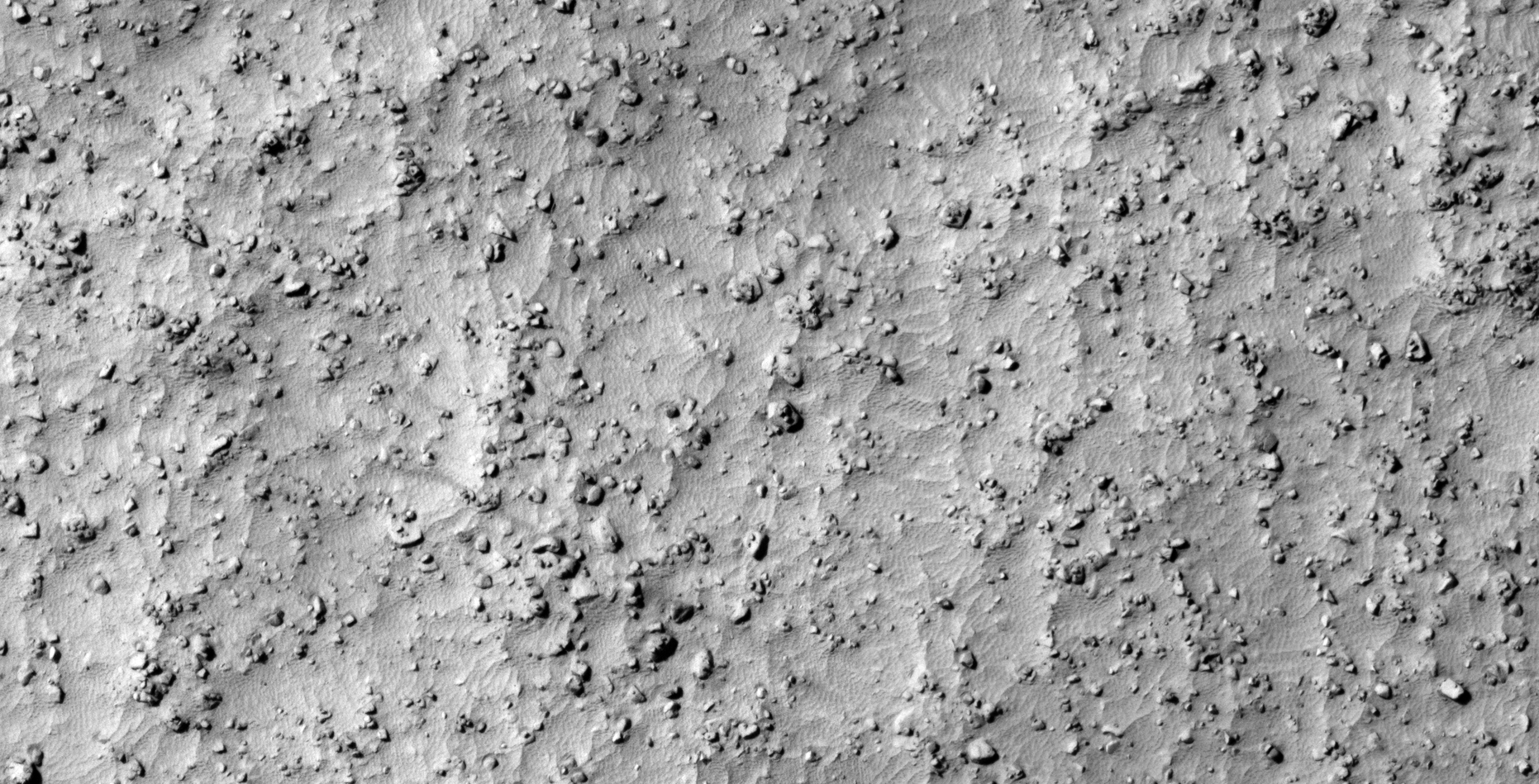
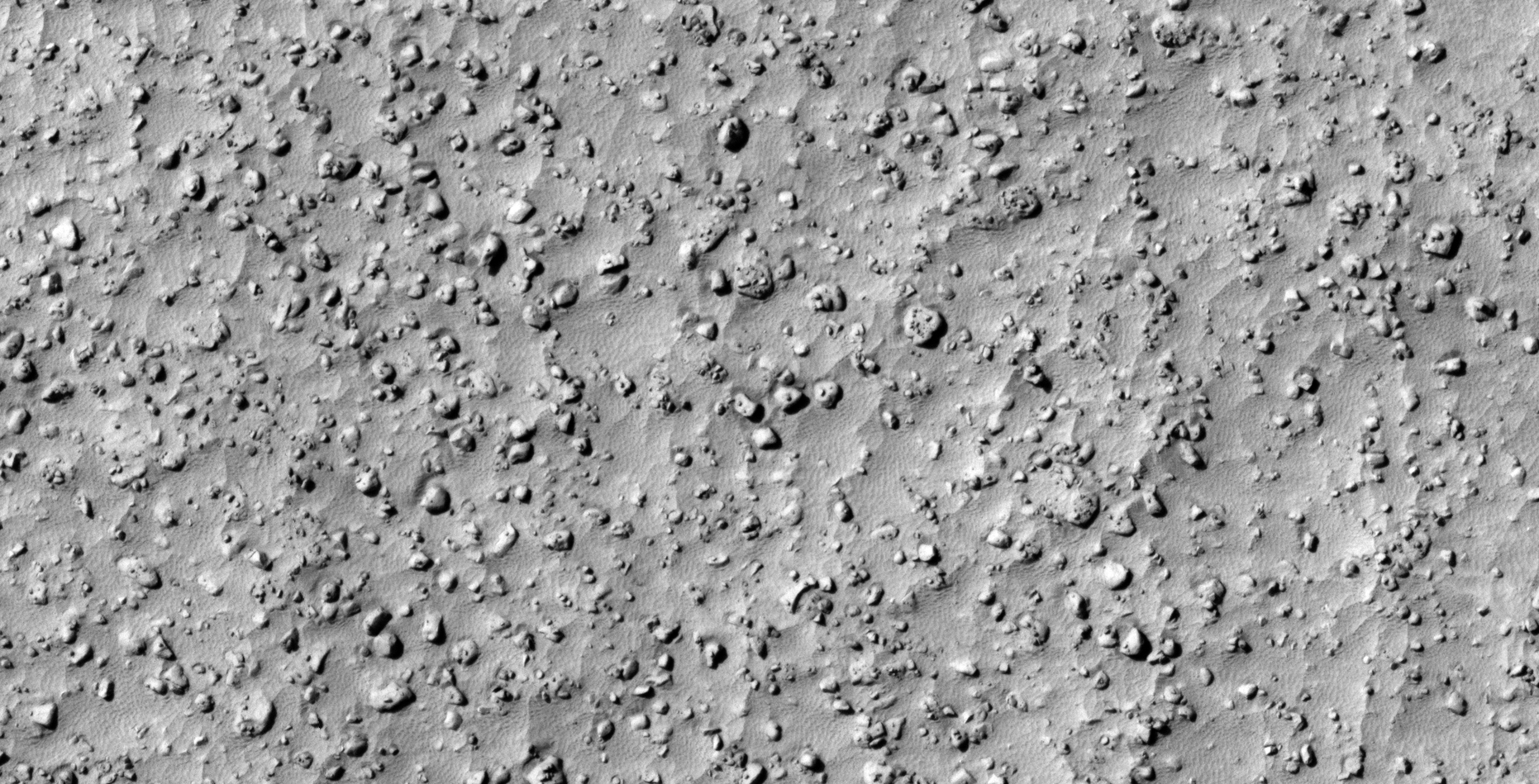
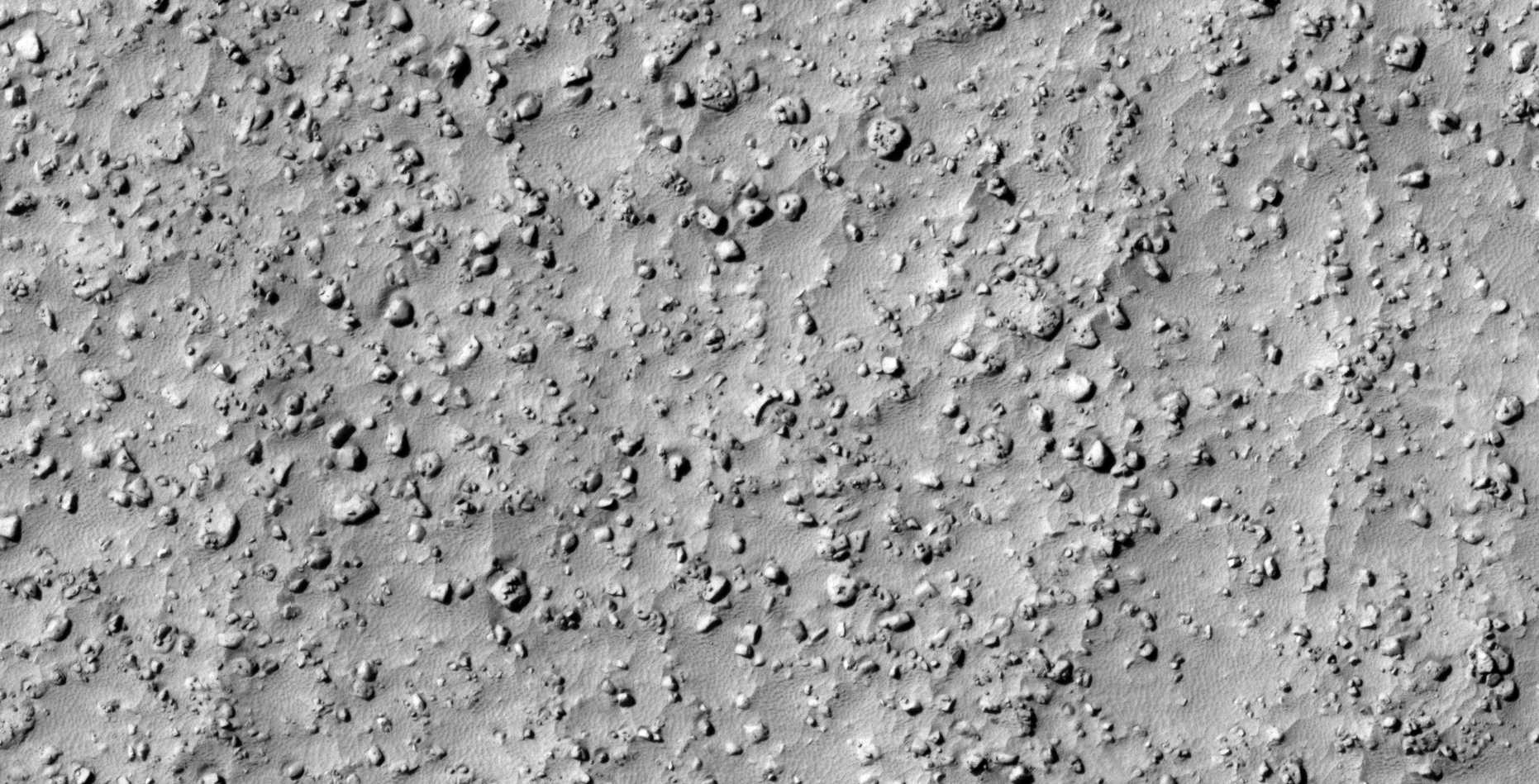
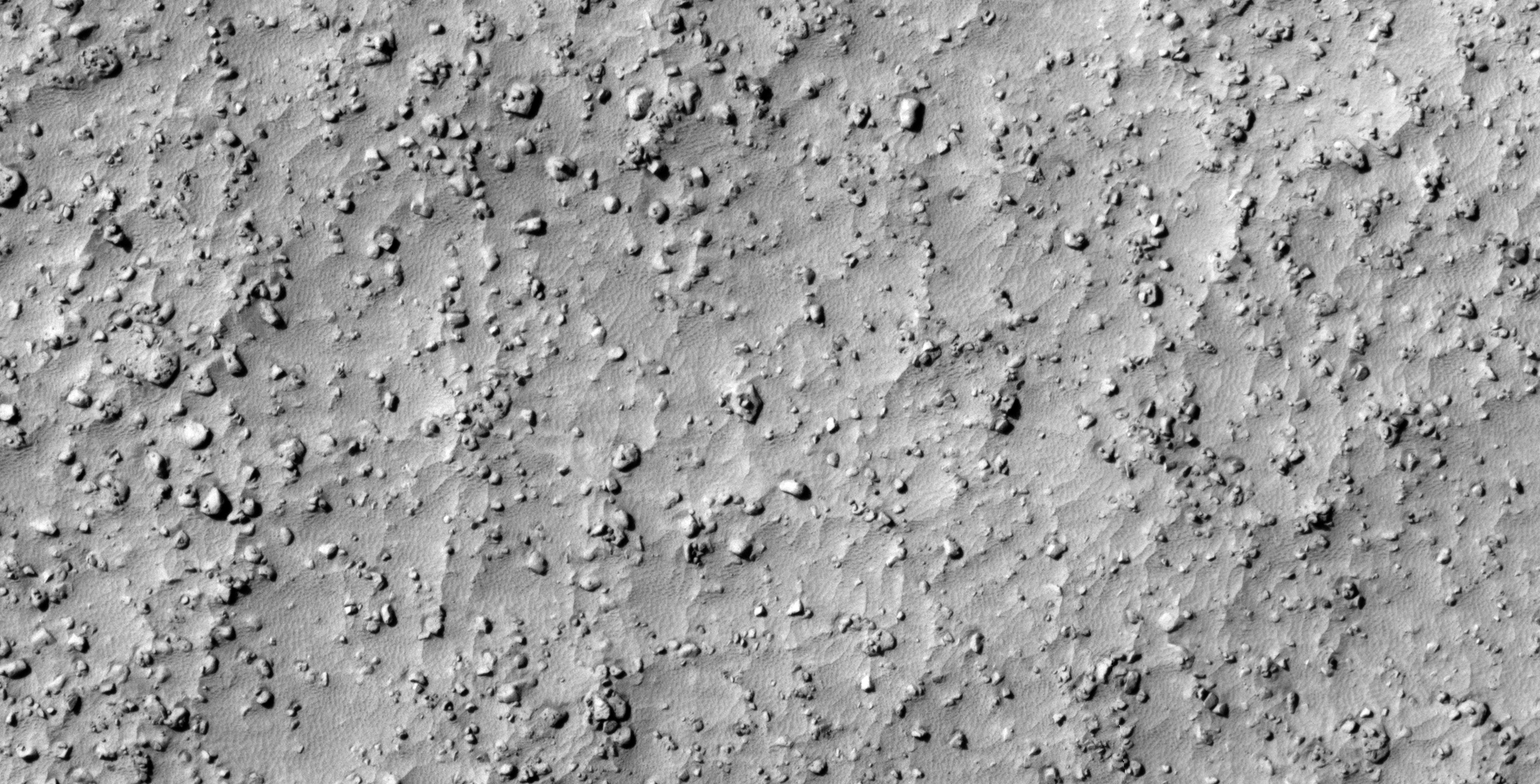
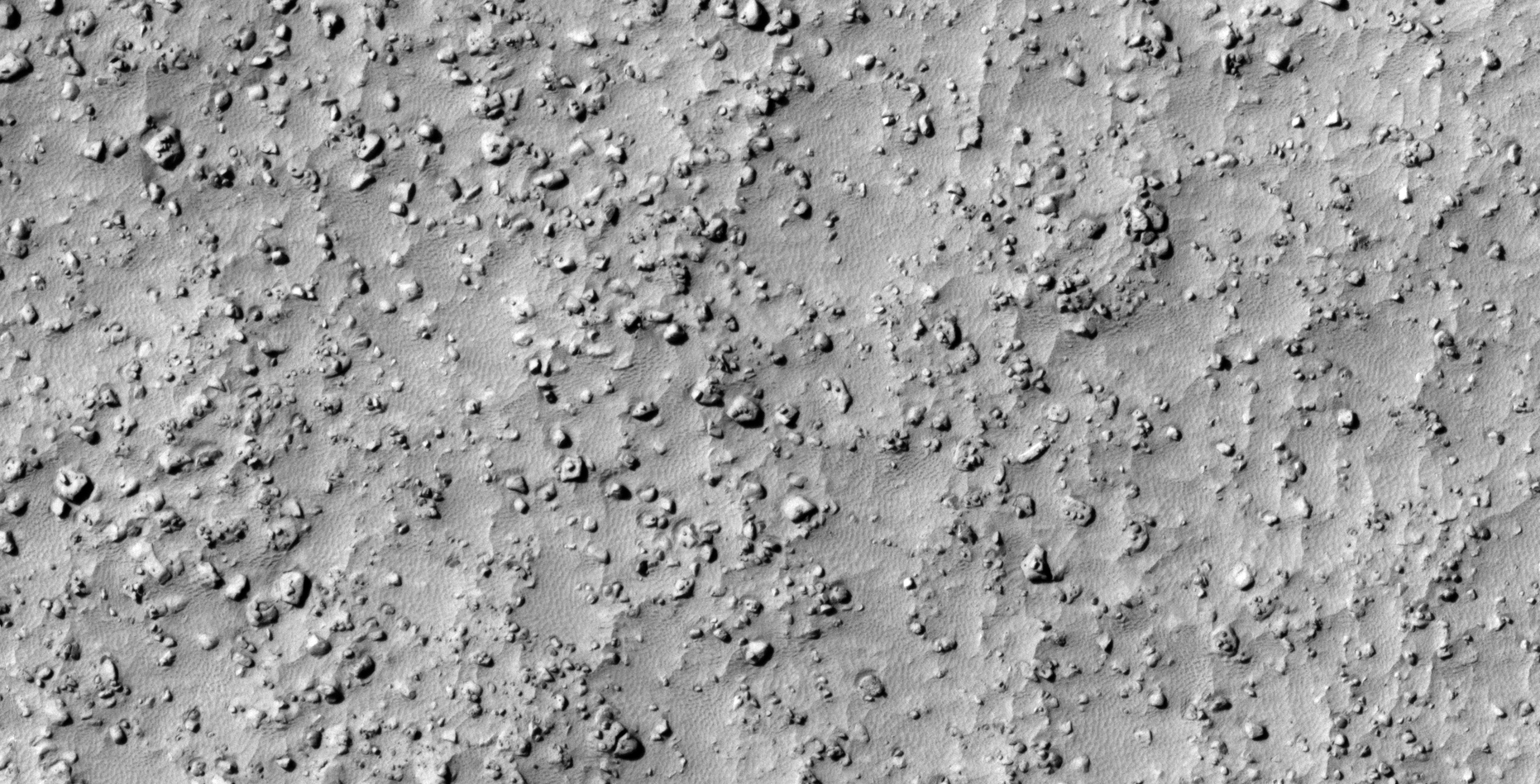
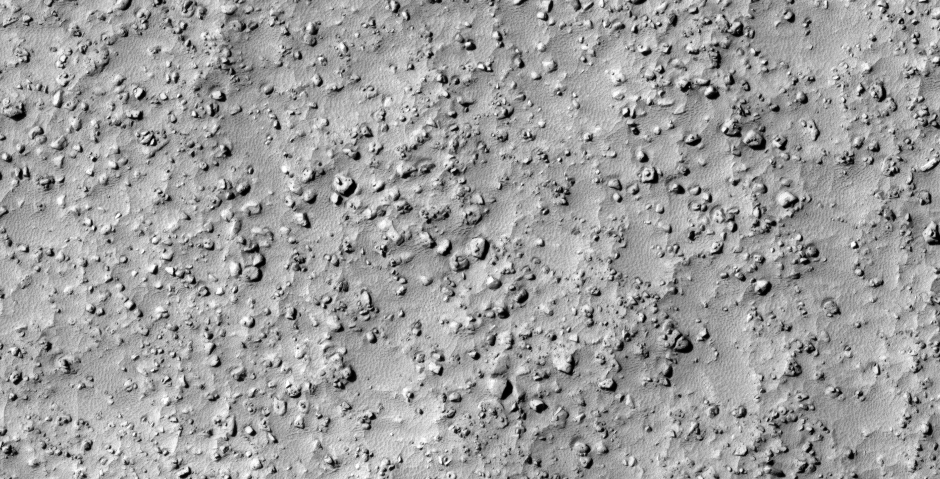
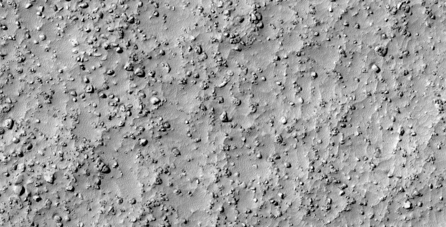
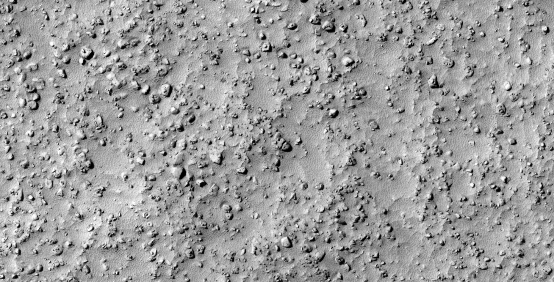
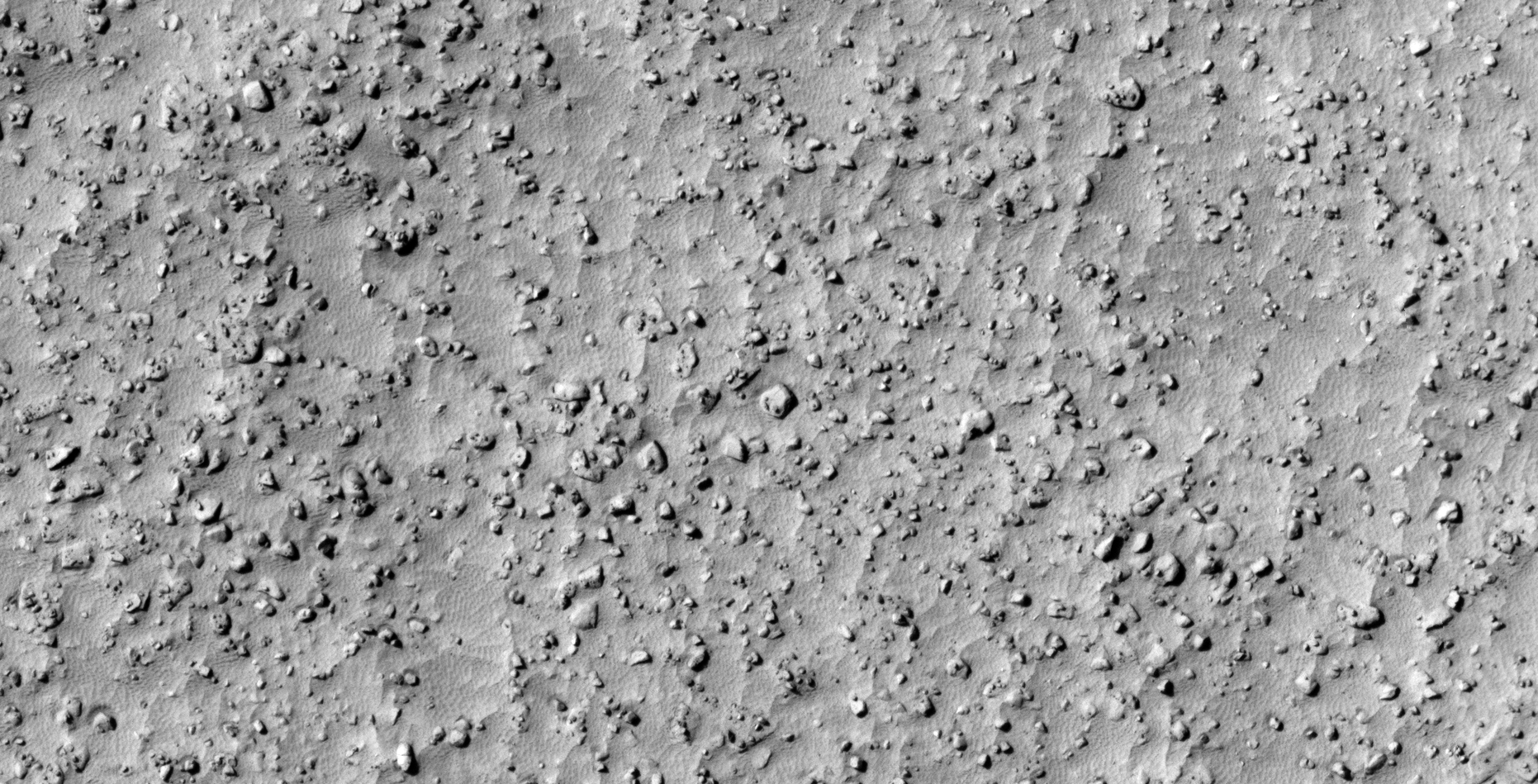
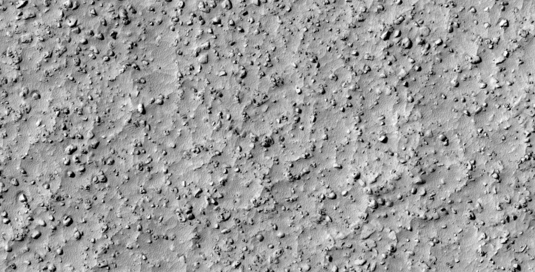
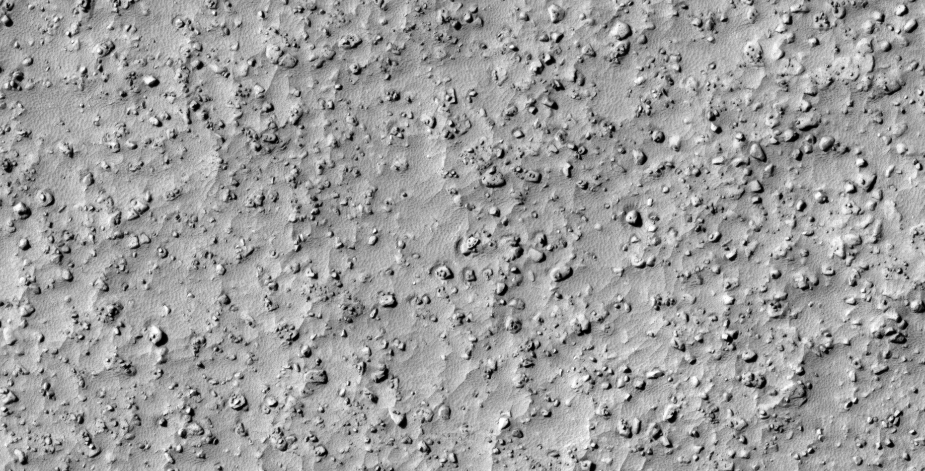
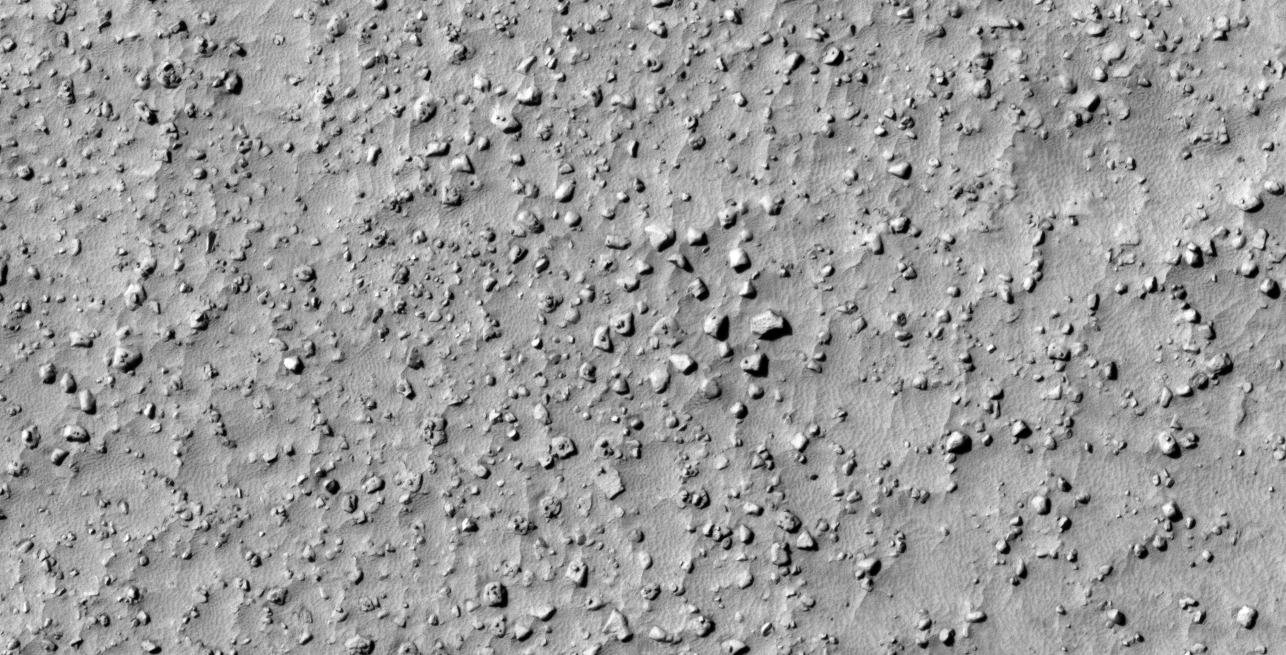
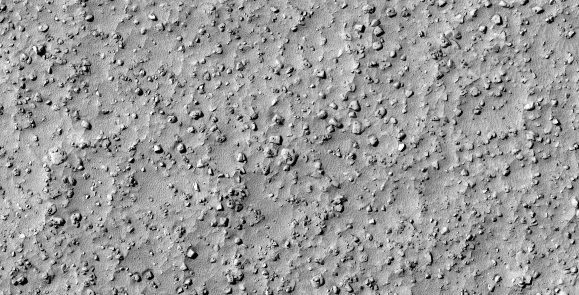
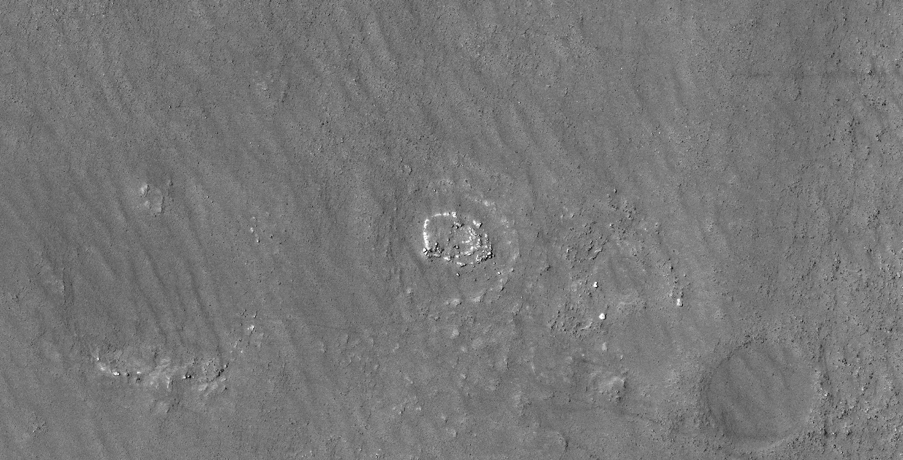
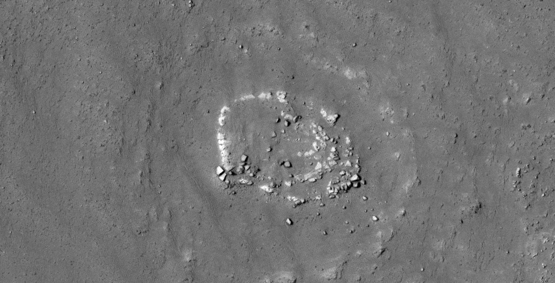
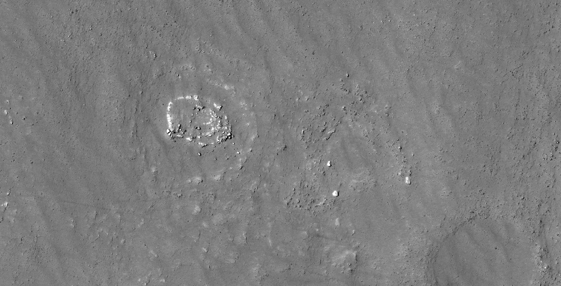
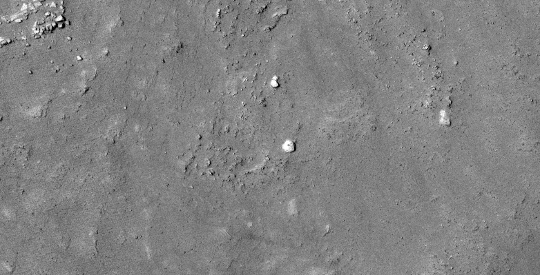
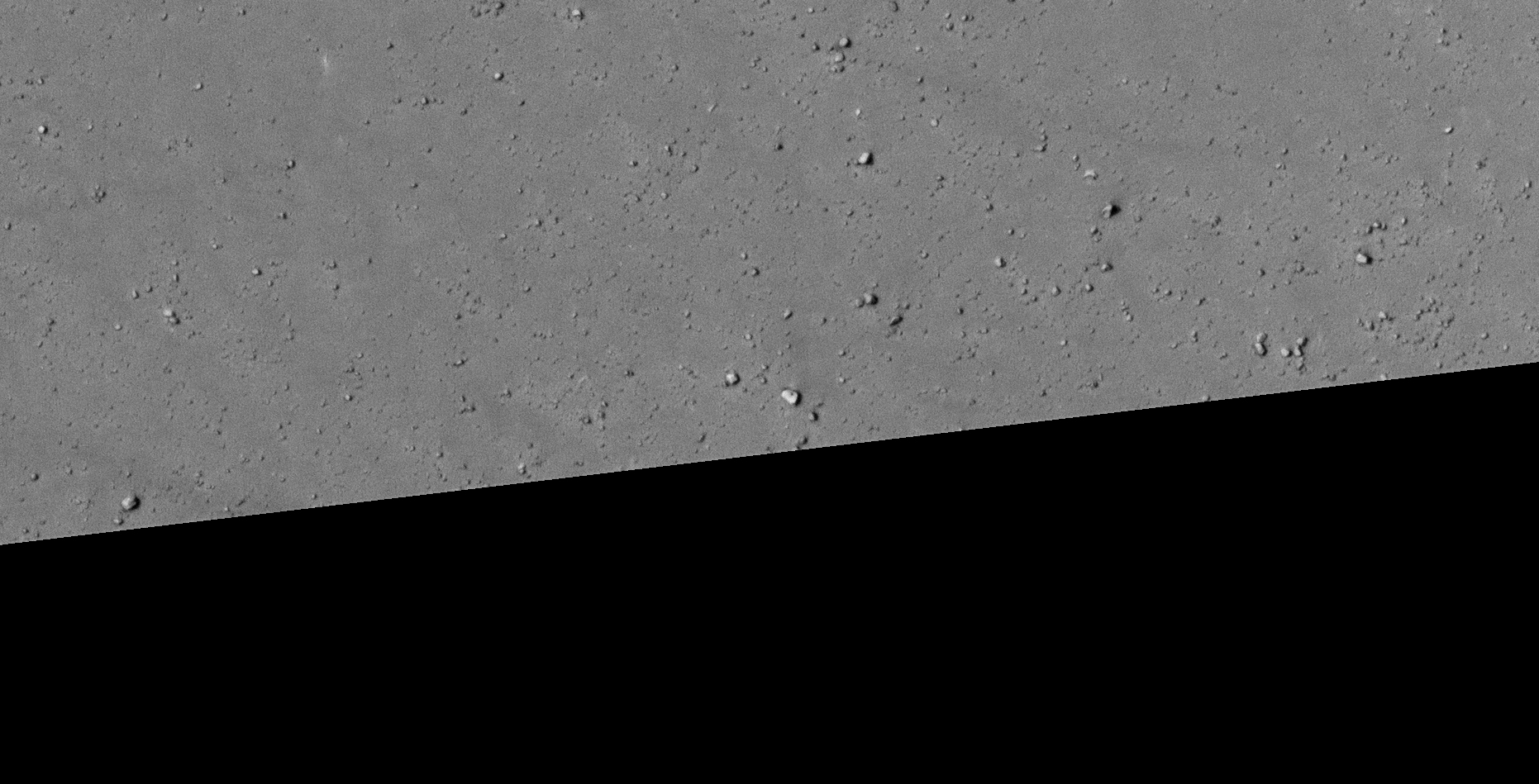
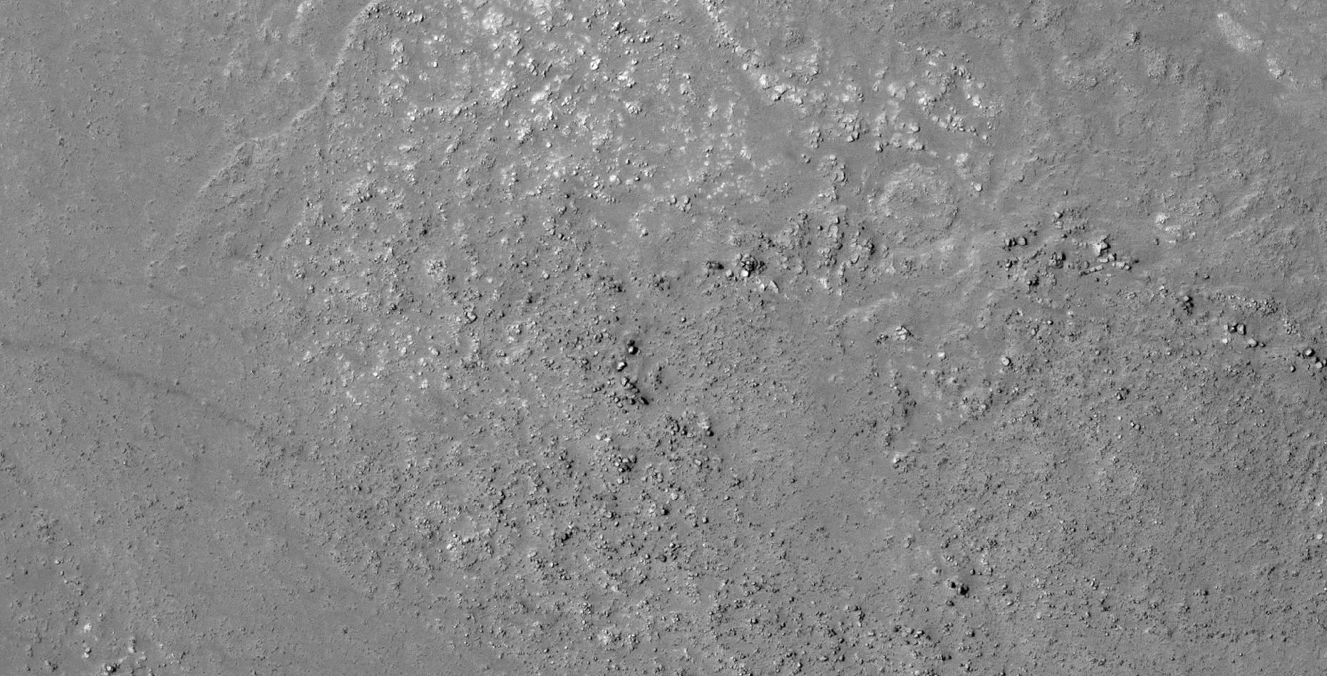
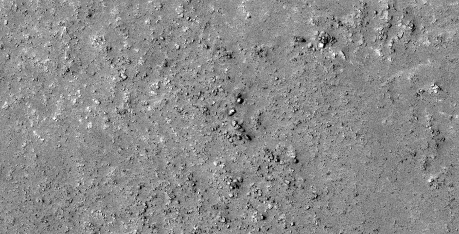
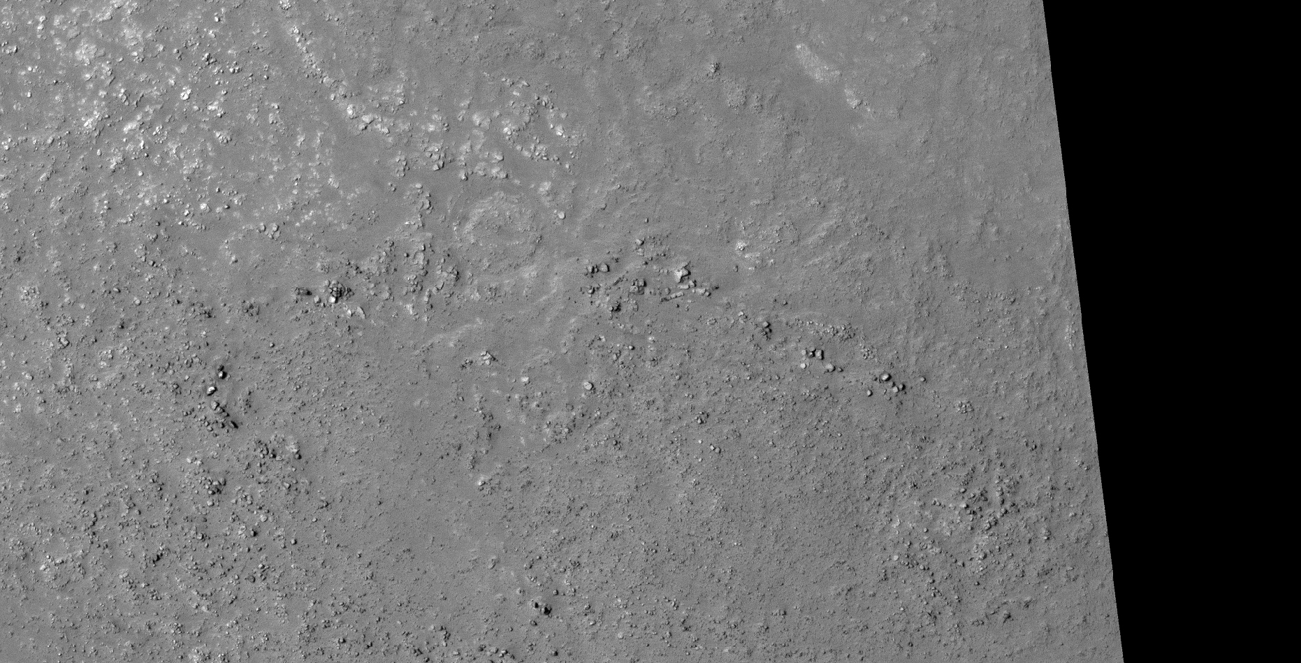
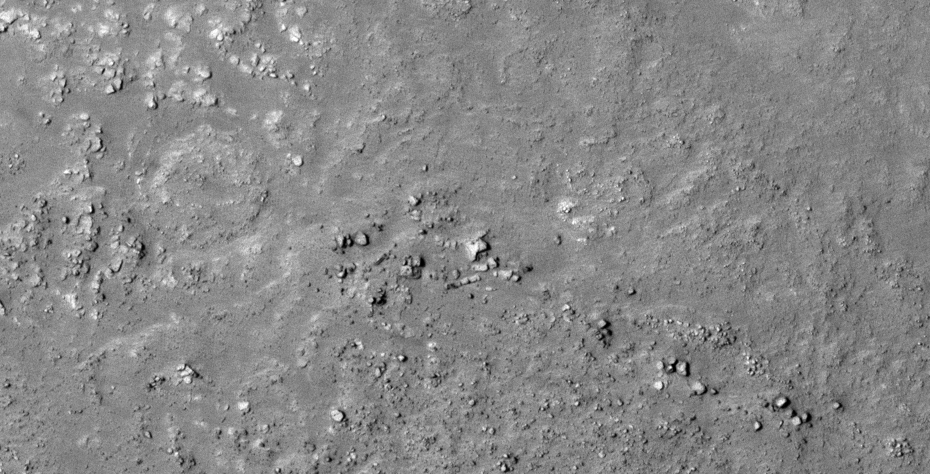
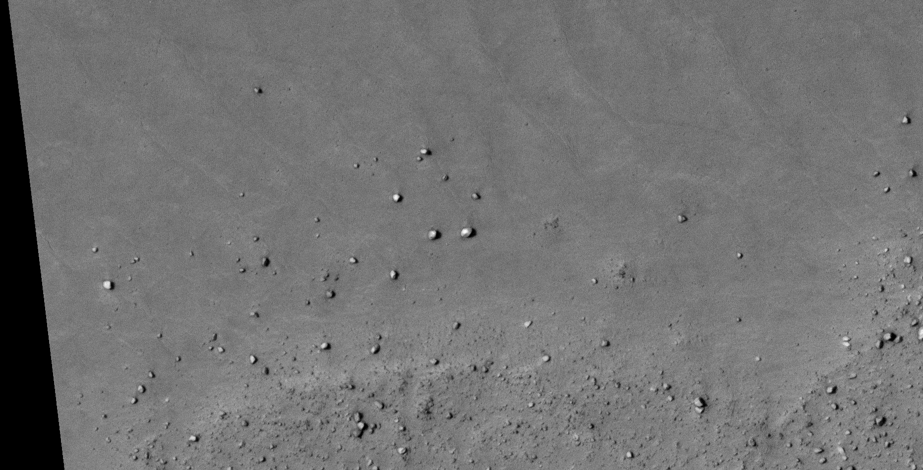
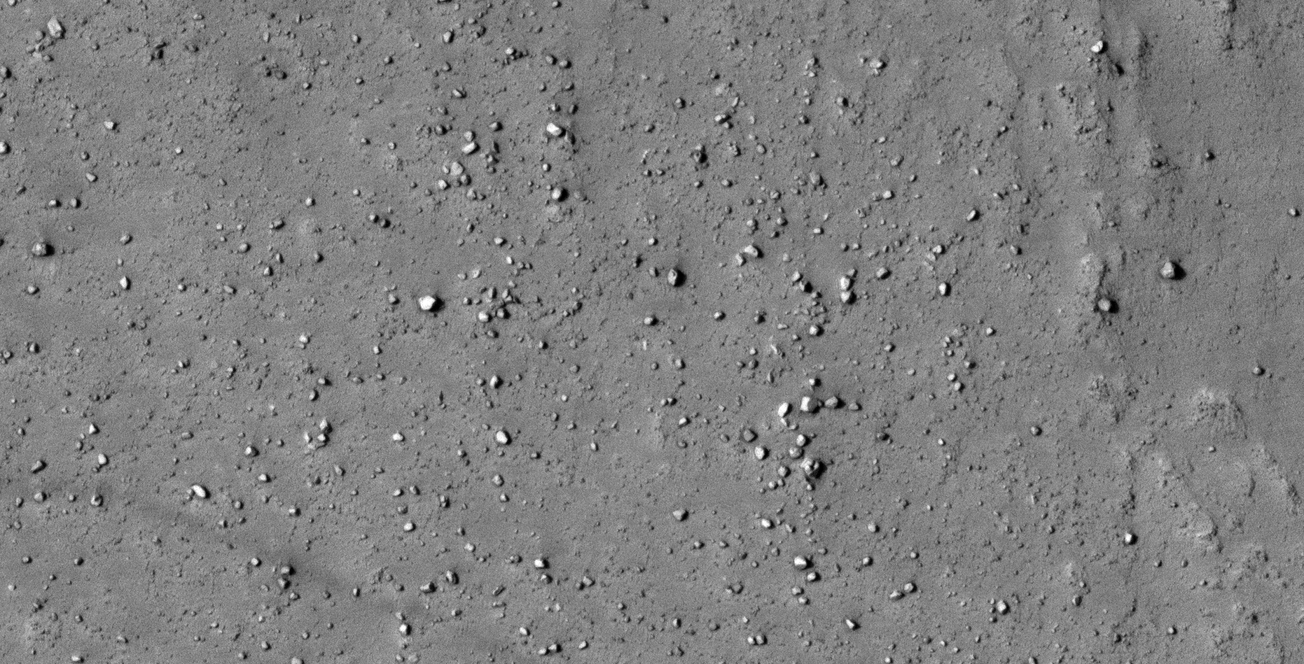
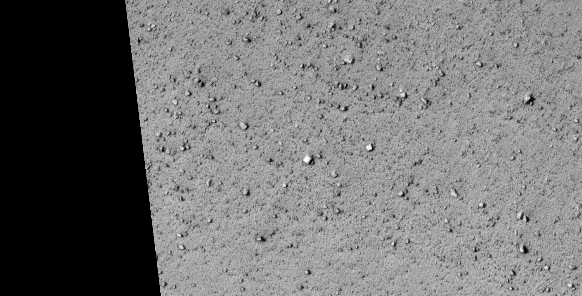
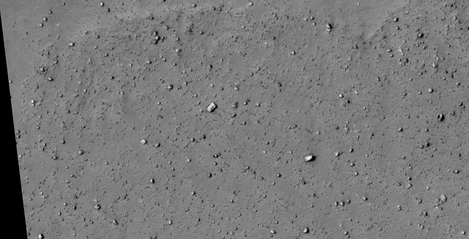
The photograph analyzed here (ESP_036562_1820) was taken by NASA’s Mars Reconnaissance Orbiter on 15 May 2014 and is described as ‘Enigmatic Terrain in Elysium Planitia.’
Here I present more megalithic blocks, ruins, structures, potentially another classic UFO-type craft (as found previously) and what appears to be various wreckage.
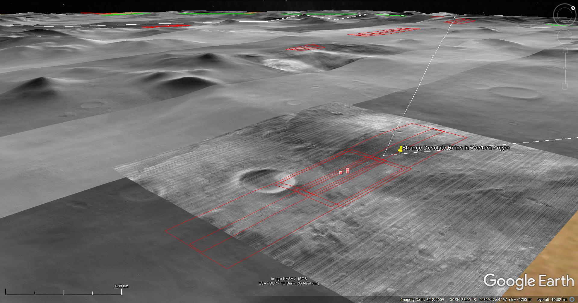
An elevated view of this site being analyzed (click for larger image)An elevated view of this site being analyzed (click for larger image)(click for larger image)(click for larger image)(click for larger image)(click for larger image)(click for larger image)(click for larger image)(click for larger image)(click for larger image)(click for larger image)(click for larger image)(click for larger image)(click for larger image)(click for larger image)(click for larger image)(click for larger image)(click for larger image)(click for larger image)(click for larger image)(click for larger image)(click for larger image)(click for larger image)(click for larger image)(click for larger image)(click for larger image)
Images saved from within HiView or CTX viewer do not include image scale indicators. The image scale indicators I include in images are based on the official resolutions provided by NASA and although I strive to be as accurate as possible there may be slight deviations from the actual scale. Image scale indicators are included as a size approximation tool only.
Geometry lines are mapped as accurately as possible using the limited information, data and mapping tools available at the time, therefore the lines may deviate from target sites by a few kilometres. Revisions may be made in the future as new, more precise information, data and mapping tools become available.
Many or all of the anomalies/artefacts covered in this presentation may be naturally occurring geological features caused by some type of geological processes, however due to the lack of specific information from the source we can only speculate whether these are all natural or some artificial in nature.
In cases where I say an anomaly looks like something I’m attempting to clarify what I see and not specifically that the anomaly is what I say it looks like.
My intention is only to share anomalies I’ve discovered on Mars and not to convince anyone that there is or was a civilization on Mars.
As Will Farrar from WhatsUpInTheSky says: “I see what I see, you see what you see.”
The photograph analyzed here (ESP_038846_1345) was taken by NASA’s Mars Reconnaissance Orbiter on 09 November 2014 and is described as ‘Terrain.’
In Part 2 of 2 I speculate that I may have discovered further evidence of destroyed ancient megalithic ruins, structure foundations, wreckage of some type of craft and many more artefacts.
Many of the megaliths have small features or knobs and holes. There are what appear to be remains of straight walls.
There is also what looks like a massive ‘fish’-shaped artefact, could this possibly be a fossil or sculpture?
One of my friends, Carlos Afonso, over on Facebook pointed out this HiRISE photograph to me.
NOTE: The original HiRISE provided by NASA is incredibly noisy.
An elevated view of this site being analyzed (click for larger image)
This HiRISE photograph does not yet appear on Google Earth Mars.
(click for larger image)(click for larger image)(click for larger image)(click for larger image)(click for larger image)(click for larger image)(click for larger image)(click for larger image)(click for larger image)(click for larger image)(click for larger image)(click for larger image)(click for larger image)(click for larger image)(click for larger image)(click for larger image)(click for larger image)(click for larger image)(click for larger image)(click for larger image)(click for larger image)(click for larger image)(click for larger image)(click for larger image)(click for larger image)(click for larger image)(click for larger image)(click for larger image)(click for larger image)(click for larger image)(click for larger image)(click for larger image)(click for larger image)(click for larger image)(click for larger image)(click for larger image)(click for larger image)
Images saved from within HiView or CTX viewer do not include image scale indicators. The image scale indicators I include in images are based on the official resolutions provided by NASA and although I strive to be as accurate as possible there may be slight deviations from the actual scale. Image scale indicators are included as a size approximation tool only.
Geometry lines are mapped as accurately as possible using the limited information, data and mapping tools available at the time, therefore the lines may deviate from target sites by a few kilometres. Revisions may be made in the future as new, more precise information, data and mapping tools become available.
Many or all of the anomalies/artefacts covered in this presentation may be naturally occurring geological features caused by some type of geological processes, however due to the lack of specific information from the source we can only speculate whether these are all natural or some artificial in nature.
In cases where I say an anomaly looks like something I’m attempting to clarify what I see and not specifically that the anomaly is what I say it looks like.
My intention is only to share anomalies I’ve discovered on Mars and not to convince anyone that there is or was a civilization on Mars.
As Will Farrar from WhatsUpInTheSky says: “I see what I see, you see what you see.”
The photograph analyzed here (ESP_038846_1345) was taken by NASA’s Mars Reconnaissance Orbiter on 09 November 2014 and is described as ‘Terrain.’
In Part 1 of 2 I speculate that I may have discovered further evidence of destroyed ancient megalithic ruins, structure foundations, wreckage of some type of craft and a huge artefact that look like the shape of a fish.
Many of the megaliths have small features or knobs and holes. There are what appear to be remains of straight walls intersecting others at right angles.
There is also what looks like a massive triangular craft, perfectly symmetrical in shape and geometry.
One of my friends, Carlos Afonso, over on Facebook pointed out this HiRISE photograph to me.
NOTE: The original HiRISE provided by NASA is incredibly noisy.
An elevated view of this site being analyzed (click for larger image)
This HiRISE photograph does not yet appear on Google Earth Mars.
(click for larger image)(click for larger image)(click for larger image)(click for larger image)(click for larger image)(click for larger image)(click for larger image)(click for larger image)(click for larger image)(click for larger image)(click for larger image)(click for larger image)(click for larger image)(click for larger image)(click for larger image)(click for larger image)(click for larger image)(click for larger image)(click for larger image)(click for larger image)(click for larger image)(click for larger image)(click for larger image)(click for larger image)(click for larger image)(click for larger image)(click for larger image)(click for larger image)(click for larger image)(click for larger image)(click for larger image)(click for larger image)(click for larger image)(click for larger image)(click for larger image)
Images saved from within HiView or CTX viewer do not include image scale indicators. The image scale indicators I include in images are based on the official resolutions provided by NASA and although I strive to be as accurate as possible there may be slight deviations from the actual scale. Image scale indicators are included as a size approximation tool only.
Geometry lines are mapped as accurately as possible using the limited information, data and mapping tools available at the time, therefore the lines may deviate from target sites by a few kilometres. Revisions may be made in the future as new, more precise information, data and mapping tools become available.
Many or all of the anomalies/artefacts covered in this presentation may be naturally occurring geological features caused by some type of geological processes, however due to the lack of specific information from the source we can only speculate whether these are all natural or some artificial in nature.
In cases where I say an anomaly looks like something I’m attempting to clarify what I see and not specifically that the anomaly is what I say it looks like.
My intention is only to share anomalies I’ve discovered on Mars and not to convince anyone that there is or was a civilization on Mars.
As Will Farrar from WhatsUpInTheSky says: “I see what I see, you see what you see.”
This Special Edition focuses on what I speculate are similar or matching craft and technology found in various location on the Martian surface.
There are three proposed categories into which I place these:
Outpost-type structures
Mining-type machines
UFO-type craft with typical disc and large domes
UFO-type craft with typical disc and small domes
Delta-wing-type craft
Underground entrance-way’s, hatch’s or air-vent’s
The mining-type machines may however be some type of unidentified air-craft or some other type of machinery or technology, he purpose of which is unknown.
Likewise, the outpost-type structures might be some type of machinery or technology, maybe even dwellings, underground entrance-ways or air-vents.
The anomalies in the last two categories might even be the same type of technology, just in differing states of disrepair.
Until a closer investigation by NASA into these anomalies is made I can only speculate about what they might or might not be. None-the-less, there are geometric shape and size similarities between these anomalies that cannot be ignored.
Following are examples of similar or matching craft and objects I found unless indicated otherwise:
Outpost-type structures:
Outpost-type Structure: I (ESP_013864_1220) (click for larger image)
This type of craft is found in almost all the megalithic blocks and ruins I cover in previous Blog Posts and YouTube video’s, thus I only showing one prime example of such a craft below:
UFO-type Craft with small dome: I (xx) (click for larger image)
Underground entrance-way’s, hatch’s or air-vent’s:
This type of anomaly is found in almost all the megalithic blocks and ruins I cover in previous Blog Posts and YouTube video’s, thus I only showing one prime example of such an anomaly below:
Underground entrance-way, hatch or air-tent: I (ESP_013864_1220) (click for larger image)
Images saved from within HiView or CTX viewer do not include image scale indicators. The image scale indicators I include in images are based on the official resolutions provided by NASA and although I strive to be as accurate as possible there may be slight deviations from the actual scale. Image scale indicators are included as a size approximation tool only.
Geometry lines are mapped as accurately as possible using the limited information, data and mapping tools available at the time, therefore the lines may deviate from target sites by a few kilometres. Revisions may be made in the future as new, more precise information, data and mapping tools become available.
Many or all of the anomalies/artefacts covered in this presentation may be naturally occurring geological features caused by some type of geological processes, however due to the lack of specific information from the source we can only speculate whether these are all natural or some artificial in nature.
In cases where I say an anomaly looks like something I’m attempting to clarify what I see and not specifically that the anomaly is what I say it looks like.
My intention is only to share anomalies I’ve discovered on Mars and not to convince anyone that there is or was a civilization on Mars.
As Will Farrar from WhatsUpInTheSky says: “I see what I see, you see what you see.”
The photograph analyzed here (PSP_007525_1565) was taken by NASA’s Mars Reconnaissance Orbiter on 04 March 2008 and is described as ‘Wrinkle Ridge Cut by Theater-Headed Channels in Memnonia Fossae.’
Here I speculate I found artefacts which include everything from strange megalithic blocks to what looks like wreckage.
An elevated view of this site being analyzed (click for larger image)An elevated view of this site being analyzed (click for larger image)(click for larger image)(click for larger image)(click for larger image)(click for larger image)(click for larger image)(click for larger image)(click for larger image)(click for larger image)
Images saved from within HiView or CTX viewer do not include image scale indicators. The image scale indicators I include in images are based on the official resolutions provided by NASA and although I strive to be as accurate as possible there may be slight deviations from the actual scale. Image scale indicators are included as a size approximation tool only.
Geometry lines are mapped as accurately as possible using the limited information, data and mapping tools available at the time, therefore the lines may deviate from target sites by a few kilometres. Revisions may be made in the future as new, more precise information, data and mapping tools become available.
Many or all of the anomalies/artefacts covered in this presentation may be naturally occurring geological features caused by some type of geological processes, however due to the lack of specific information from the source we can only speculate whether these are all natural or some artificial in nature.
In cases where I say an anomaly looks like something I’m attempting to clarify what I see and not specifically that the anomaly is what I say it looks like.
My intention is only to share anomalies I’ve discovered on Mars and not to convince anyone that there is or was a civilization on Mars.
As Will Farrar from WhatsUpInTheSky says: “I see what I see, you see what you see.”
The photograph analyzed here (ESP_014069_1180) was taken by NASA’s Mars Reconnaissance Orbiter on 27 July 2009 and described as ‘Unit Contact.’
Here I speculate that I may have discovered further evidence of megalithic blocks with knobs and what appear to be ruins as well as more strange circular structures with features or domes on top.
An elevated view of this site being analyzed (click for larger image)An elevated view of this site being analyzed (click for larger image)(click for larger image)(click for larger image)(click for larger image)(click for larger image)(click for larger image)(click for larger image)
Images saved from within HiView or CTX viewer do not include image scale indicators. The image scale indicators I include in images are based on the official resolutions provided by NASA and although I strive to be as accurate as possible there may be slight deviations from the actual scale. Image scale indicators are included as a size approximation tool only.
Geometry lines are mapped as accurately as possible using the limited information, data and mapping tools available at the time, therefore the lines may deviate from target sites by a few kilometres. Revisions may be made in the future as new, more precise information, data and mapping tools become available.
Many or all of the anomalies/artefacts covered in this presentation may be naturally occurring geological features caused by some type of geological processes, however due to the lack of specific information from the source we can only speculate whether these are all natural or some artificial in nature.
In cases where I say an anomaly looks like something I’m attempting to clarify what I see and not specifically that the anomaly is what I say it looks like.
My intention is only to share anomalies I’ve discovered on Mars and not to convince anyone that there is or was a civilization on Mars.
As Will Farrar from WhatsUpInTheSky says: “I see what I see, you see what you see.”
The photograph analyzed here (PSP_005867_1330) was taken by NASA’s Mars Reconnaissance Orbiter on 27 October 2007 and is described as ‘Lobate Crater Ejecta.’
This is part 3 of 3 in which I basically analyse the right-hand third of the HiRISE photograph.
Here I speculate that I may have discovered further evidence of megalithic blocks with knobs and what appears to be ruins, e.g. foundations of buildings and walls.
Also, some of the anomalies appear to be metallic wreckage, perhaps wrecked craft/vehicles.
An elevated view of this site being analyzed (click for larger image)An elevated view of this site being analyzed (click for larger image)
Anomalies found in this section of the HiRISE photograph:
(click for larger image)(click for larger image)(click for larger image)(click for larger image)(click for larger image)(click for larger image)(click for larger image)(click for larger image)(click for larger image)(click for larger image)(click for larger image)(click for larger image)(click for larger image)(click for larger image)(click for larger image)(click for larger image)(click for larger image)(click for larger image)(click for larger image)(click for larger image)(click for larger image)(click for larger image)(click for larger image)(click for larger image)(click for larger image)(click for larger image)(click for larger image)(click for larger image)(click for larger image)(click for larger image)(click for larger image)(click for larger image)(click for larger image)(click for larger image)(click for larger image)(click for larger image)(click for larger image)(click for larger image)(click for larger image)
Images saved from within HiView or CTX viewer do not include image scale indicators. The image scale indicators I include in images are based on the official resolutions provided by NASA and although I strive to be as accurate as possible there may be slight deviations from the actual scale. Image scale indicators are included as a size approximation tool only.
Geometry lines are mapped as accurately as possible using the limited information, data and mapping tools available at the time, therefore the lines may deviate from target sites by a few kilometres. Revisions may be made in the future as new, more precise information, data and mapping tools become available.
Many or all of the anomalies/artefacts covered in this presentation may be naturally occurring geological features caused by some type of geological processes, however due to the lack of specific information from the source we can only speculate whether these are all natural or some artificial in nature.
In cases where I say an anomaly looks like something I’m attempting to clarify what I see and not specifically that the anomaly is what I say it looks like.
My intention is only to share anomalies I’ve discovered on Mars and not to convince anyone that there is or was a civilization on Mars.
As Will Farrar from WhatsUpInTheSky says: “I see what I see, you see what you see.”
The photograph analyzed here (PSP_005867_1330) was taken by NASA’s Mars Reconnaissance Orbiter on 27 October 2007 and is described as ‘Lobate Crater Ejecta.’
This is part 2 of 3 in which I basically analyse the middle third of the HiRISE photograph.
Here I speculate that I may have discovered further evidence of megalithic blocks with knobs and what appears to be ruins, e.g. foundations of buildings and walls.
Also, some of the anomalies appear to be metallic wreckage, perhaps wrecked craft/vehicles.
An elevated view of this site being analyzed (click for larger image)An elevated view of this site being analyzed (click for larger image)
Anomalies found in this section of the HiRISE photograph:
(click for larger image)(click for larger image)(click for larger image)(click for larger image)(click for larger image)(click for larger image)(click for larger image)(click for larger image)(click for larger image)(click for larger image)(click for larger image)(click for larger image)(click for larger image)(click for larger image)(click for larger image)(click for larger image)(click for larger image)(click for larger image)(click for larger image)(click for larger image)(click for larger image)(click for larger image)(click for larger image)(click for larger image)(click for larger image)(click for larger image)(click for larger image)(click for larger image)(click for larger image)(click for larger image)(click for larger image)(click for larger image)(click for larger image)(click for larger image)(click for larger image)(click for larger image)(click for larger image)(click for larger image)(click for larger image)(click for larger image)(click for larger image)(click for larger image)(click for larger image)(click for larger image)(click for larger image)
Images saved from within HiView or CTX viewer do not include image scale indicators. The image scale indicators I include in images are based on the official resolutions provided by NASA and although I strive to be as accurate as possible there may be slight deviations from the actual scale. Image scale indicators are included as a size approximation tool only.
Geometry lines are mapped as accurately as possible using the limited information, data and mapping tools available at the time, therefore the lines may deviate from target sites by a few kilometres. Revisions may be made in the future as new, more precise information, data and mapping tools become available.
Many or all of the anomalies/artefacts covered in this presentation may be naturally occurring geological features caused by some type of geological processes, however due to the lack of specific information from the source we can only speculate whether these are all natural or some artificial in nature.
In cases where I say an anomaly looks like something I’m attempting to clarify what I see and not specifically that the anomaly is what I say it looks like.
My intention is only to share anomalies I’ve discovered on Mars and not to convince anyone that there is or was a civilization on Mars.
As Will Farrar from WhatsUpInTheSky says: “I see what I see, you see what you see.”
The photograph analyzed here (PSP_005867_1330) was taken by NASA’s Mars Reconnaissance Orbiter on 27 October 2007 and is described as ‘Lobate Crater Ejecta.’
This is part 1 of 3 in which I basically analyse the left-hand third of the HiRISE photograph.
Here I speculate that I may have discovered further evidence of megalithic blocks with knobs and what appears to be ruins, e.g. foundations of buildings and walls.
Also, some of the anomalies appear to be metallic wreckage, perhaps wrecked craft/vehicles.
An elevated view of this site being analyzed (click for larger image)An elevated view of this site being analyzed (click for larger image)
Anomalies found in this section of the HiRISE photograph:
(click for larger image)(click for larger image)(click for larger image)(click for larger image)(click for larger image)(click for larger image)(click for larger image)(click for larger image)(click for larger image)(click for larger image)(click for larger image)(click for larger image)(click for larger image)(click for larger image)(click for larger image)(click for larger image)(click for larger image)(click for larger image)(click for larger image)(click for larger image)(click for larger image)(click for larger image)(click for larger image)(click for larger image)(click for larger image)(click for larger image)(click for larger image)(click for larger image)(click for larger image)(click for larger image)(click for larger image)(click for larger image)(click for larger image)(click for larger image)(click for larger image)(click for larger image)(click for larger image)(click for larger image)(click for larger image)(click for larger image)(click for larger image)(click for larger image)(click for larger image)(click for larger image)(click for larger image)(click for larger image)
Images saved from within HiView or CTX viewer do not include image scale indicators. The image scale indicators I include in images are based on the official resolutions provided by NASA and although I strive to be as accurate as possible there may be slight deviations from the actual scale. Image scale indicators are included as a size approximation tool only.
Geometry lines are mapped as accurately as possible using the limited information, data and mapping tools available at the time, therefore the lines may deviate from target sites by a few kilometres. Revisions may be made in the future as new, more precise information, data and mapping tools become available.
Many or all of the anomalies/artefacts covered in this presentation may be naturally occurring geological features caused by some type of geological processes, however due to the lack of specific information from the source we can only speculate whether these are all natural or some artificial in nature.
In cases where I say an anomaly looks like something I’m attempting to clarify what I see and not specifically that the anomaly is what I say it looks like.
My intention is only to share anomalies I’ve discovered on Mars and not to convince anyone that there is or was a civilization on Mars.
As Will Farrar from WhatsUpInTheSky says: “I see what I see, you see what you see.”
The photograph analyzed here (ESP_012967_1290) was taken by NASA’s Mars Reconnaissance Orbiter on 02 May 2009 describes the photograph as ‘New Impact Site in Western Argyre Planitia.’
I speculate that I may have discovered further evidence of megalithic blocks with knobs and what appears to be ruined structures, e.g. foundations of buildings and walls.
In some cases the anomalies look like metallic wreckage.
One anomaly I show here looks like a round, convex shaped object, similar to a classic UFO/saucer dome-shaped craft partially buried in sand.
Note: This HiRISE photograph is very ‘noisy’ and contains artfacts that I tried to clean-up as best I could.
Further information:
The sites where I find these peculiar megaliths with holes/knobs are in two latitude bands, one band in the Northern Hemisphere and the other band in the Southern Hemisphere.
The Northern hemisphere band ranges between latitudes 28 degrees North and 49 degrees North – in this band I discovered 6 sites with these peculiar megaliths – the distance between the 1st site and the last site is about 5300 km with varying distances between the remaining sites.
The Southern hemisphere band ranges between latitudes 51 degrees South and 36 degrees South – in this band I discovered 11 sites right around the planet, with these peculiar megaliths – the distance between these sites vary, for example 2800 km, 330 km, 1800 km 630 km and so on.
An elevated view of this site being analyzed, note the flat topography (click for larger image)A zoomed-out view of a circular megalithic structure consisting of concentric rings similar to other structures found in Kotka crater (click for larger image)Close-up of the circular structure showing the megalithic blocks with knobs, note the parallel rows and uniform spacing of the blocks (click for larger image)Close-up of the circular structure showing the megalithic blocks with knobs, note the parallel rows and uniform spacing of the blocks (click for larger image)Close-up of the circular structure showing the megalithic blocks with knobs, note the parallel rows and uniform spacing of the blocks (click for larger image)A zoomed-out view of a huge megalithic block near the circular structure (click for larger image)Close-up of the huge megalithic block, note the hexagonal shape and the small feature in the center. Three smaller dark features are seen near each corner (click for larger image)Rectangular megalith with rounded corners and a small feature or hole in the center (click for larger image)Zoomed-out view of rows of megalithic walls or foundations (click for larger image)A close-up of a circular arrangement of megalithic blocks near the wall or foundation (click for larger image)Two parallel rows of similar megalithic blocks uniformly spaced (click for larger image)Zoomed-out view of rows of megalithic walls or foundations – far right view (click for larger image)Close-up of rows of similar megalithic blocks uniformly spaced, another block with small knob in the center is seen to the left of the image (click for larger image)A round, convex shaped object, similar to a classic UFO/saucer dome-shaped craft partially buried in sand (click for larger image)Rectangular megalith or metallic object with rounded corners and a small feature or hole in the center, note the straight edges and right-angles (click for larger image)Eroded rectangular megalithic bloc, two sides are visible (click for larger image)Is the object located bottom right a megalithic feature or wreckage of some type of machinery or technology? Note the square cube on top of the larger bent object. Check out the block top center with the bright rectangular surface carved into the one side (click for larger image)Partially buried megalithic block with two sides visible, note the strange dark feature on the one side (click for larger image)Rectangular megalith or metallic object, note the straight edges and right-angles. One corner seems to be carved out or dented. Note the smaller rectangular part sticking out to the right (click for larger image)Eroded rectangular megalithic block with small dome-shaped feature or knob visible on the one side (click for larger image)Megalithic block with small features or possibly symbols on the side. Seen is a circular feature with small triangular parts to the left and two small square outlines to the right (click for larger image)
Images saved from within HiView or CTX viewer do not include image scale indicators. The image scale indicators I include in images are based on the official resolutions provided by NASA and although I strive to be as accurate as possible there may be slight deviations from the actual scale. Image scale indicators are included as a size approximation tool only.
Geometry lines are mapped as accurately as possible using the limited information, data and mapping tools available at the time, therefore the lines may deviate from target sites by a few kilometres. Revisions may be made in the future as new, more precise information, data and mapping tools become available.
Many or all of the anomalies/artefacts covered in this presentation may be naturally occurring geological features caused by some type of geological processes, however due to the lack of specific information from the source we can only speculate whether these are all natural or some artificial in nature.
In cases where I say an anomaly looks like something I’m attempting to clarify what I see and not specifically that the anomaly is what I say it looks like.
My intention is only to share anomalies I’ve discovered on Mars and not to convince anyone that there is or was a civilization on Mars.
As Will Farrar from WhatsUpInTheSky says: “I see what I see, you see what you see.”