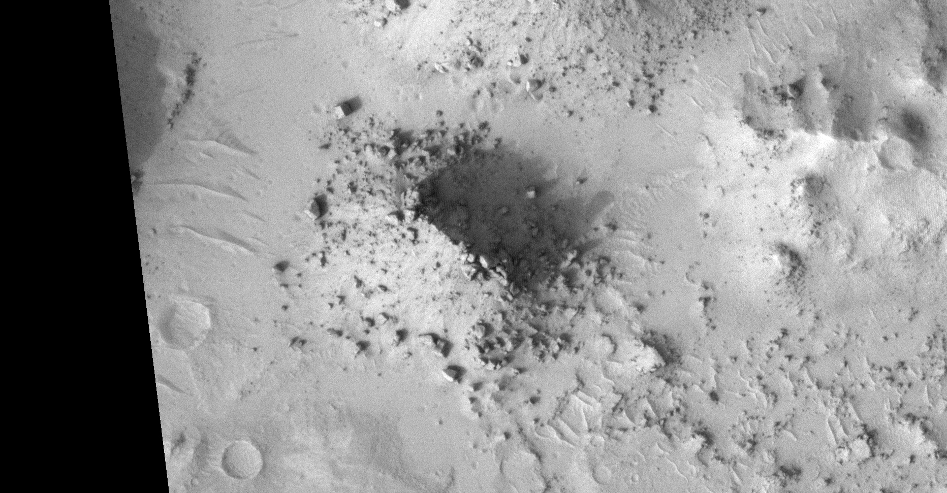
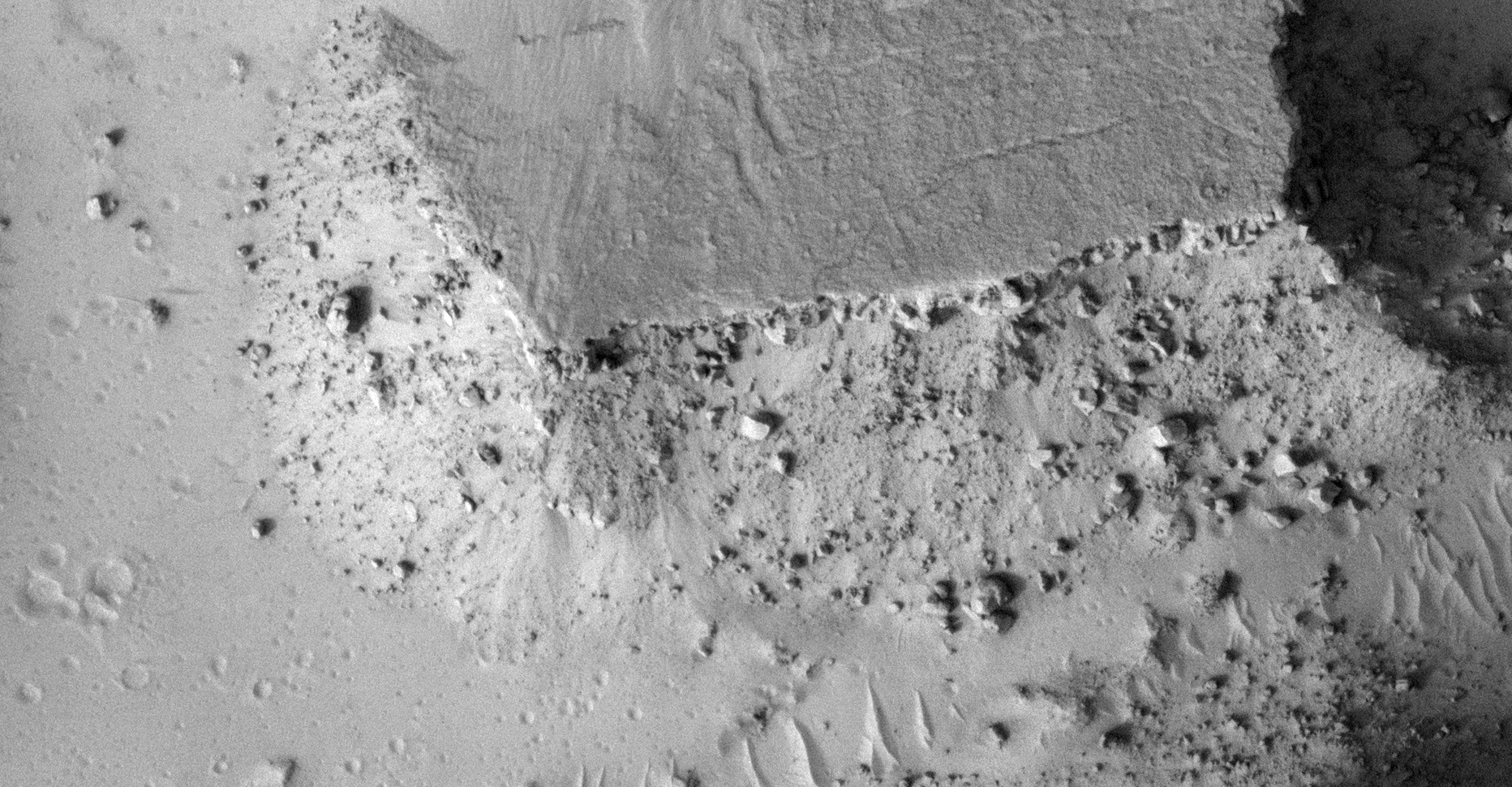
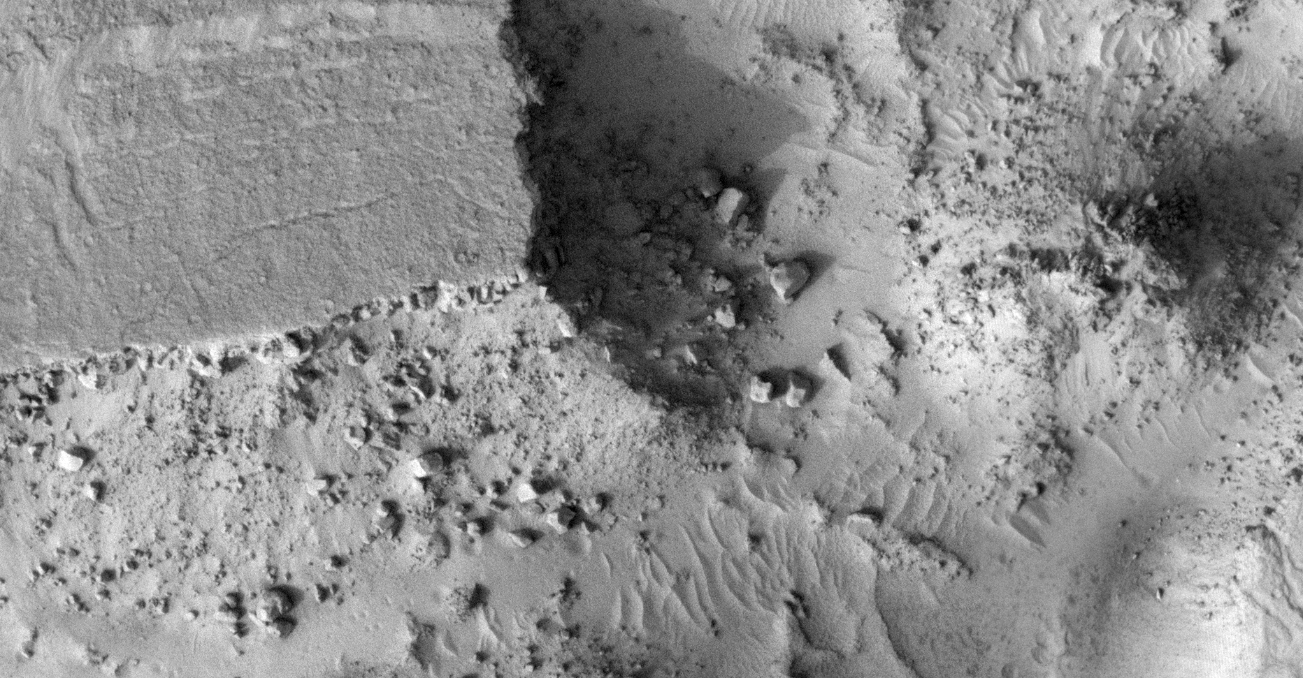
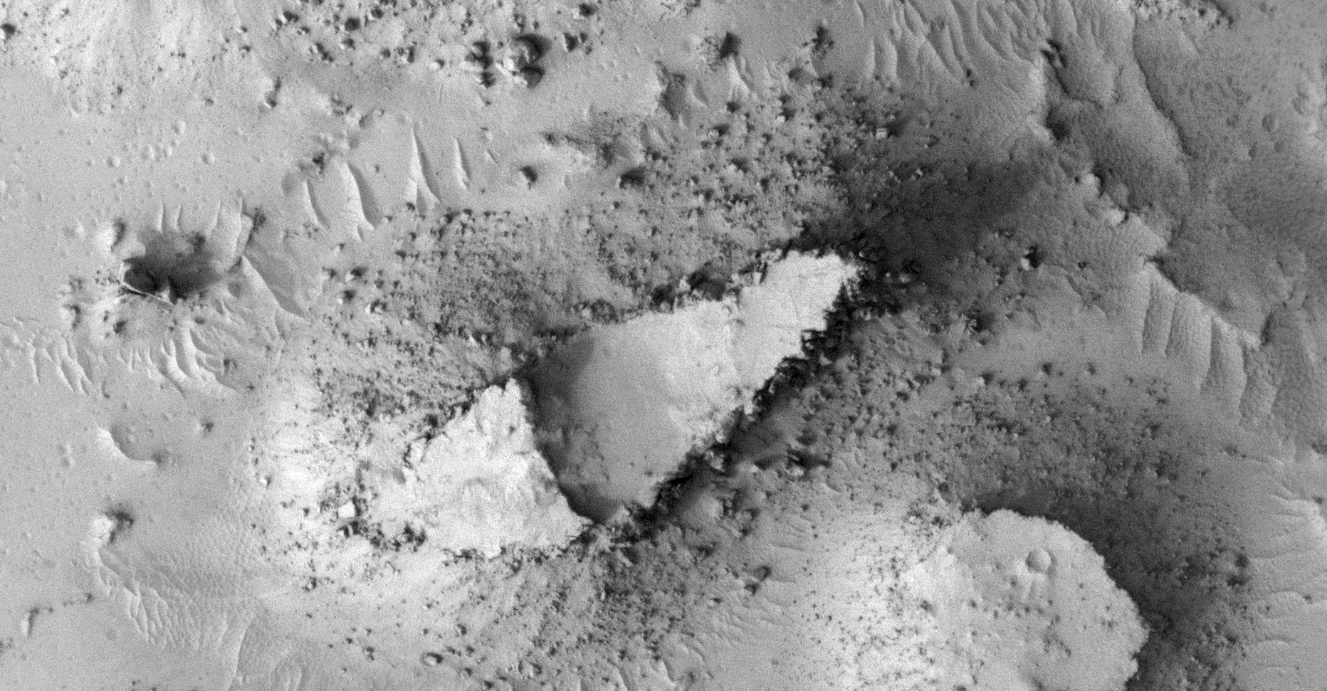
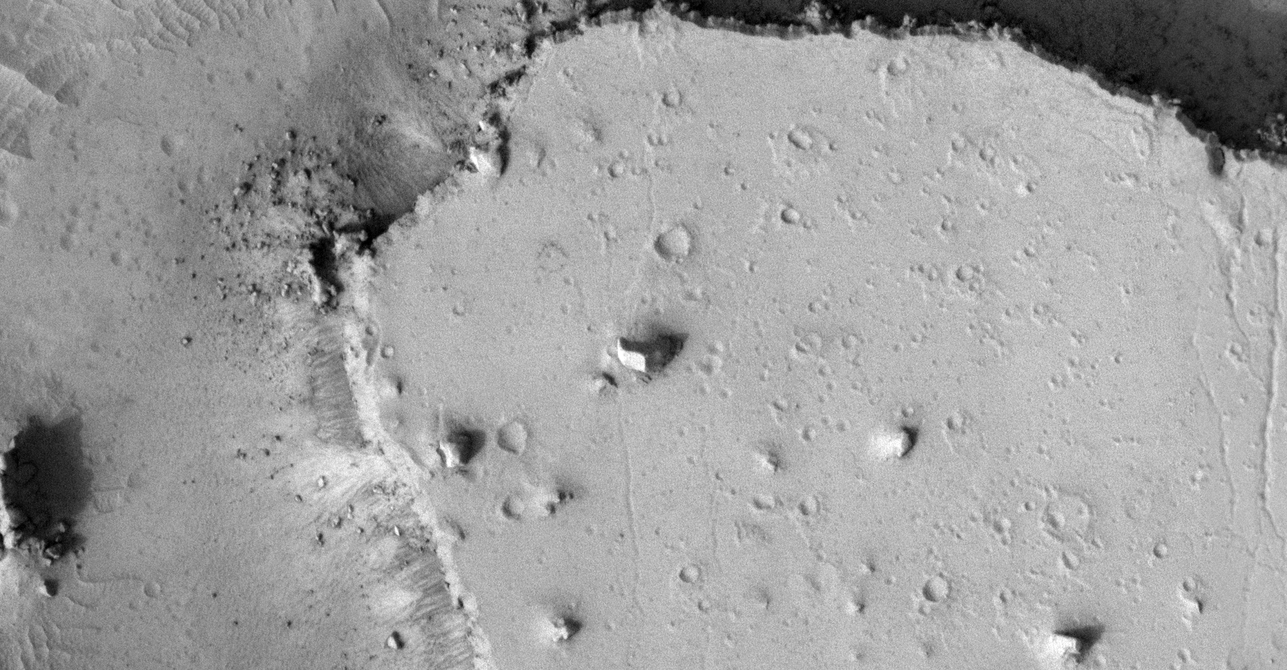
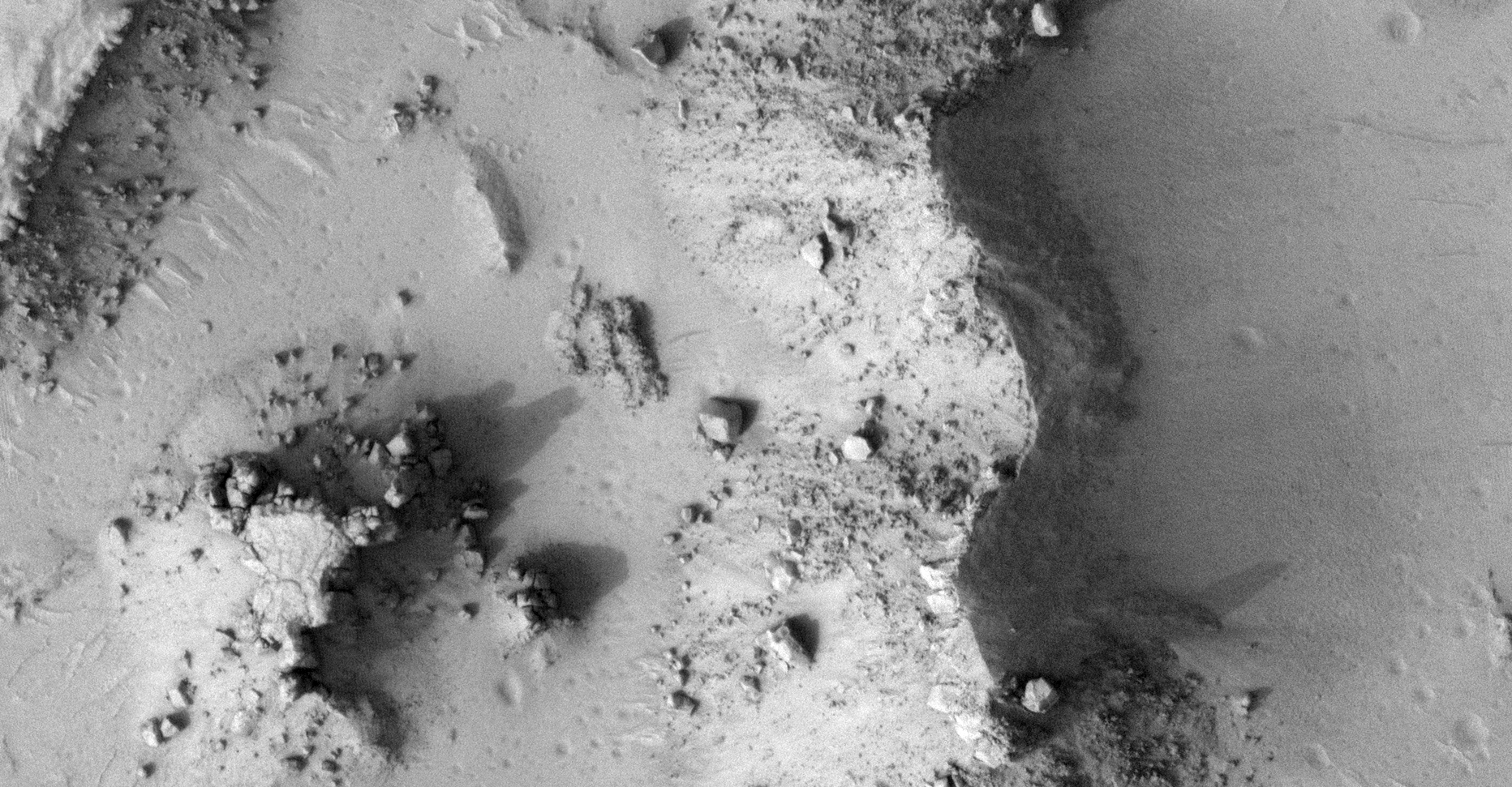
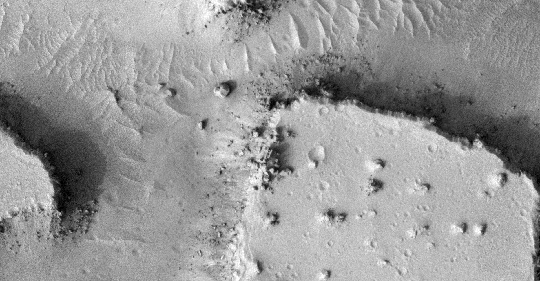
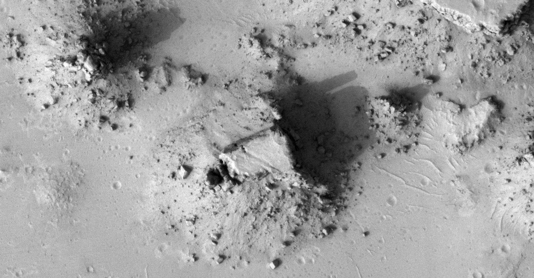
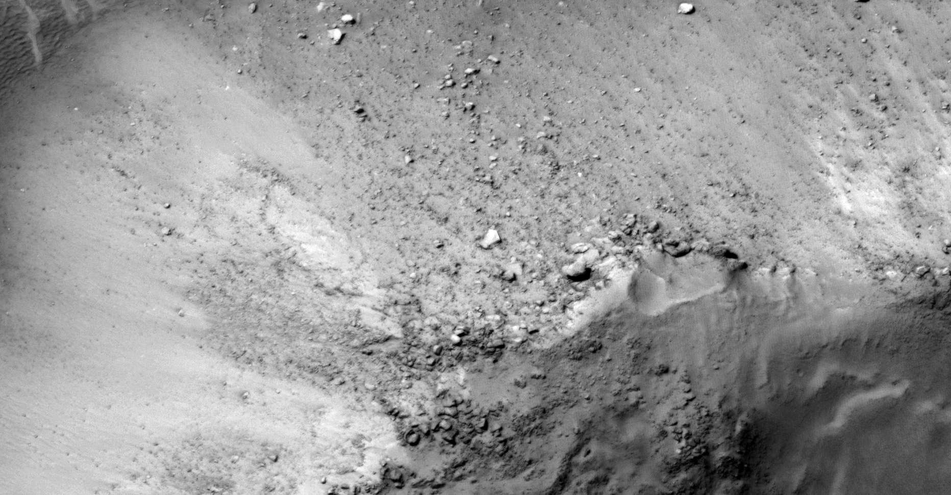
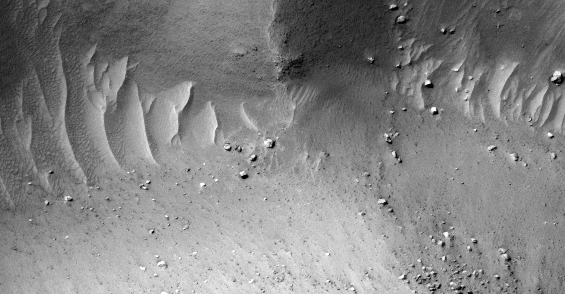
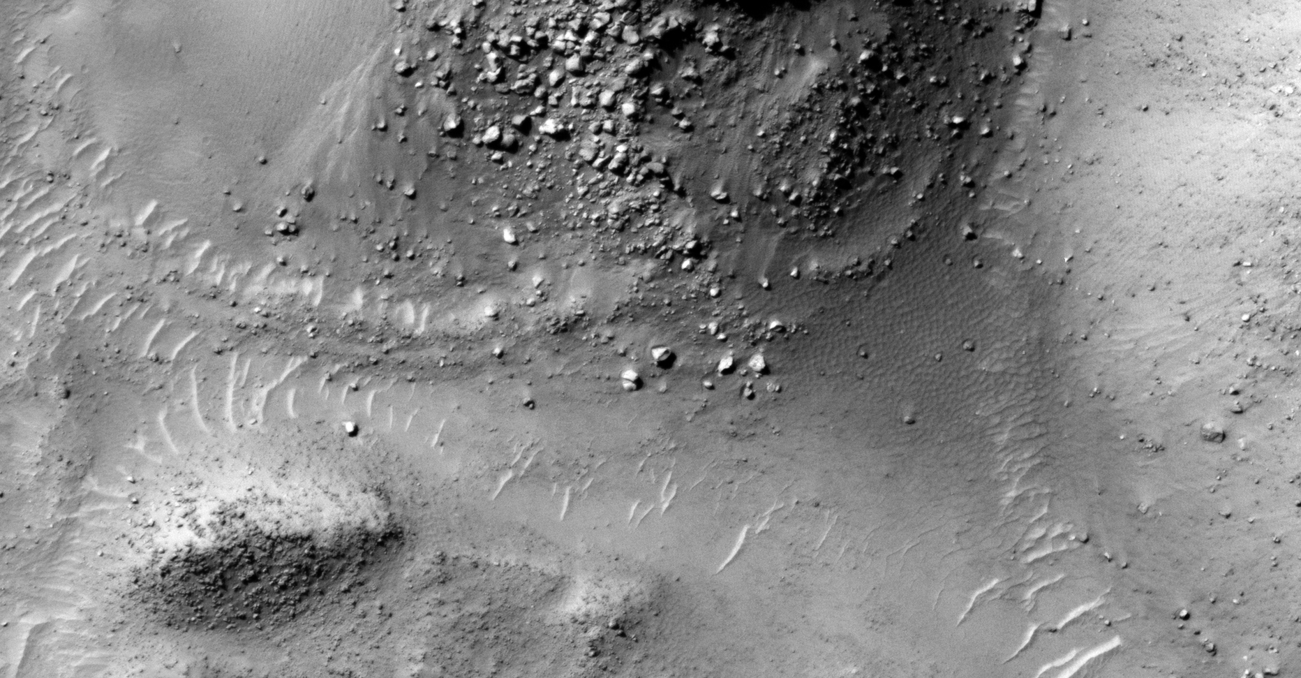
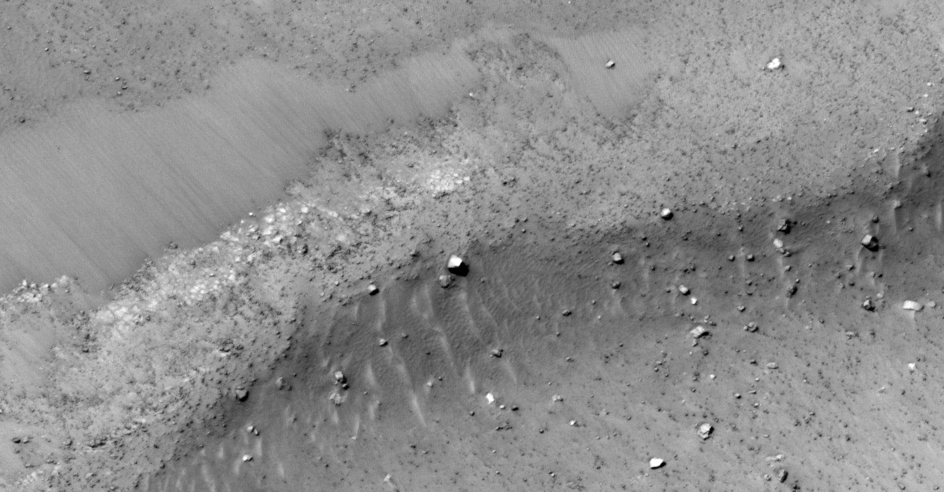
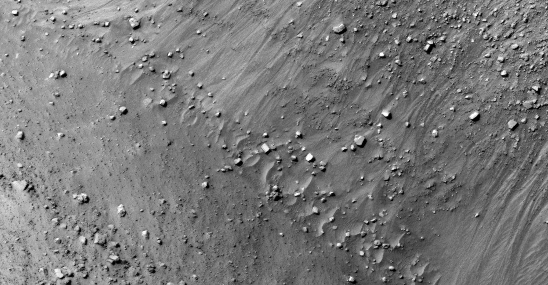
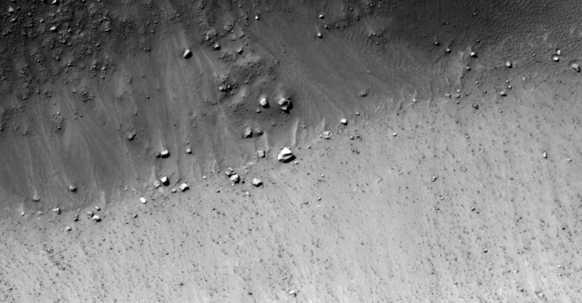
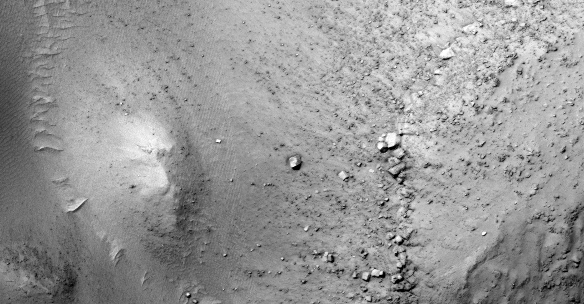
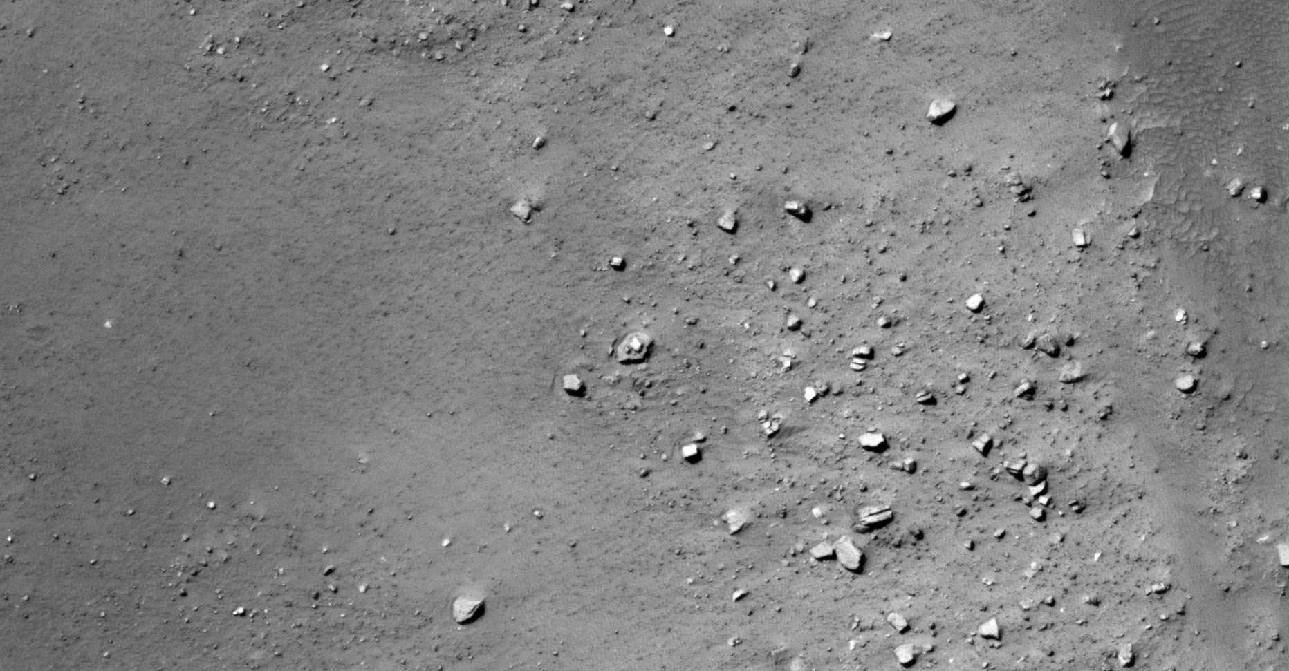
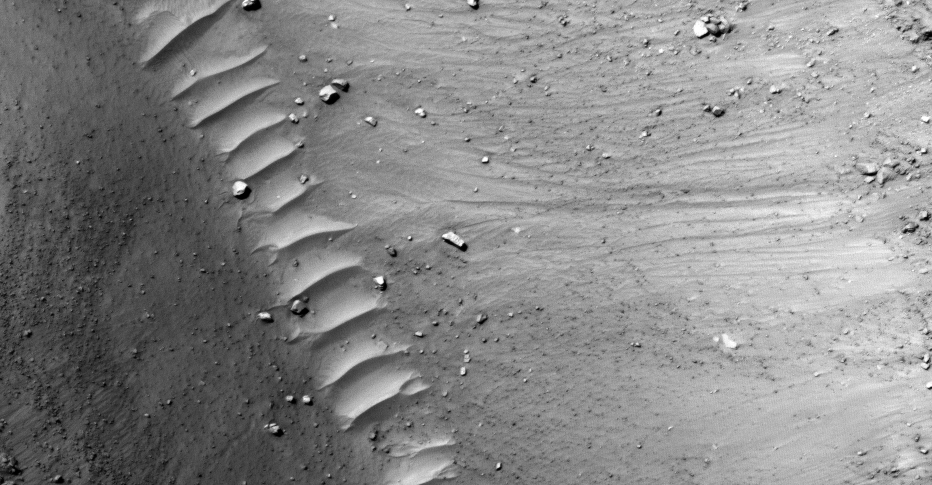
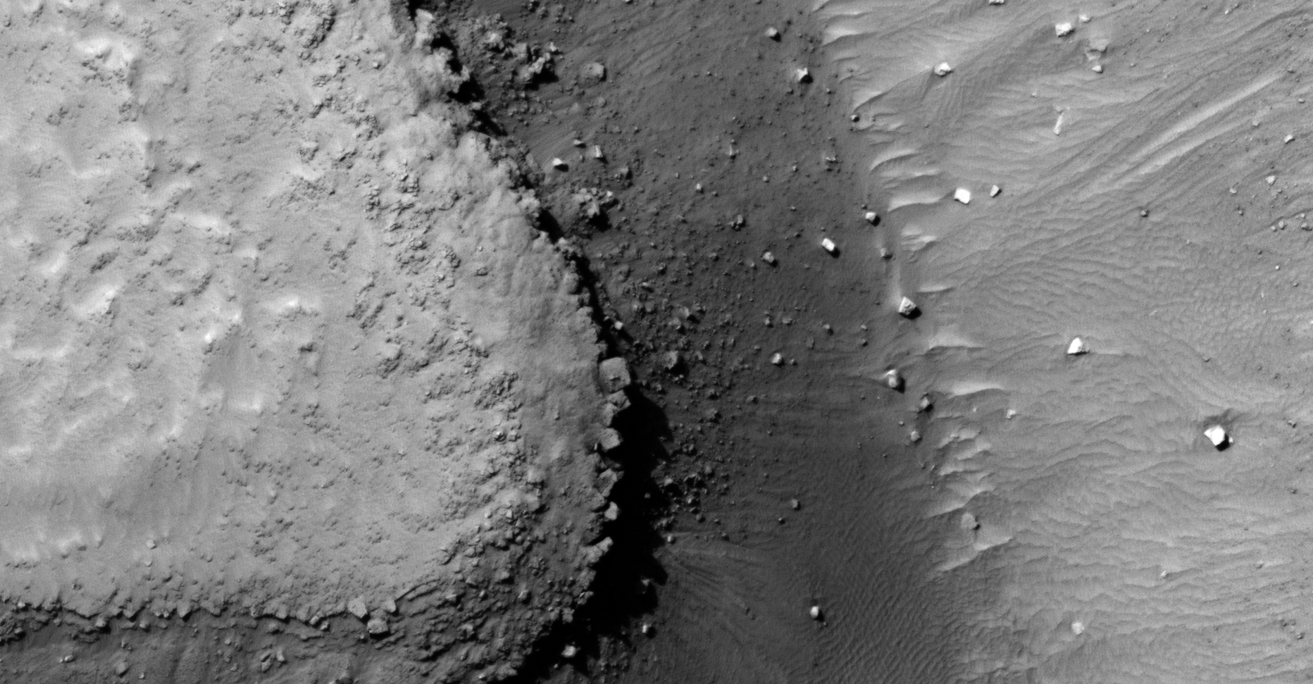
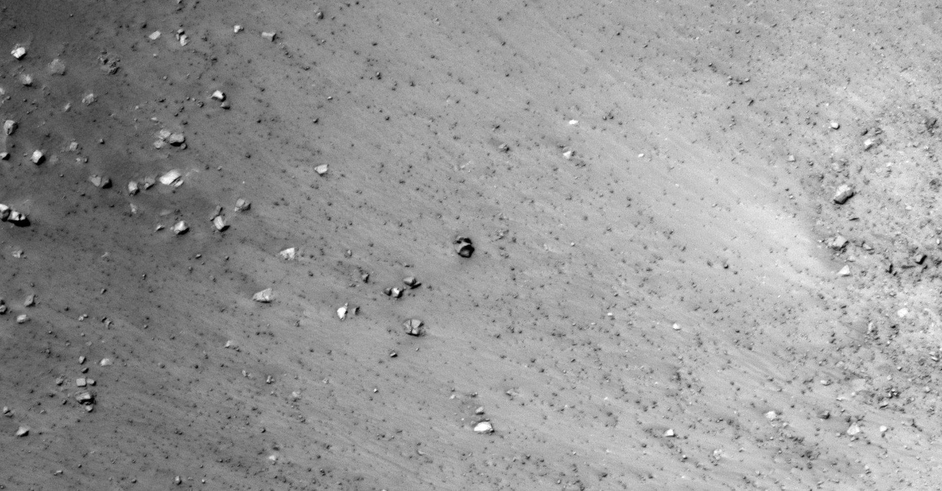
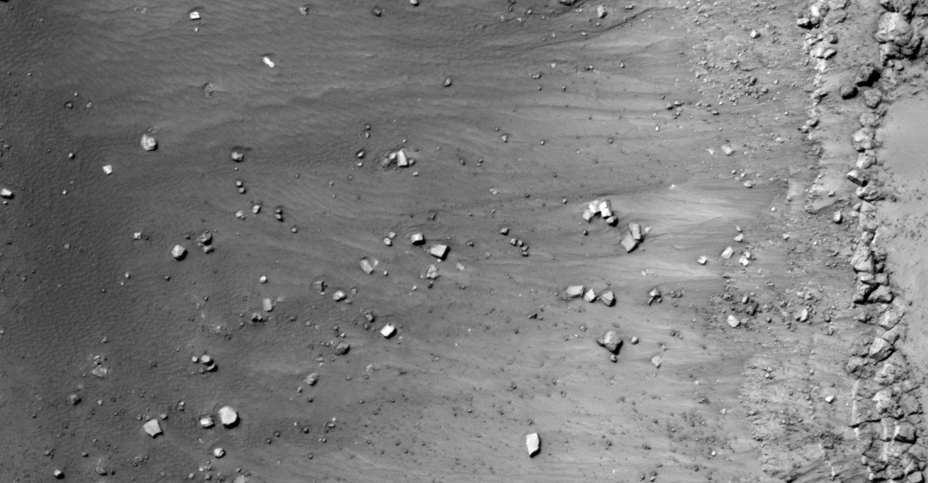
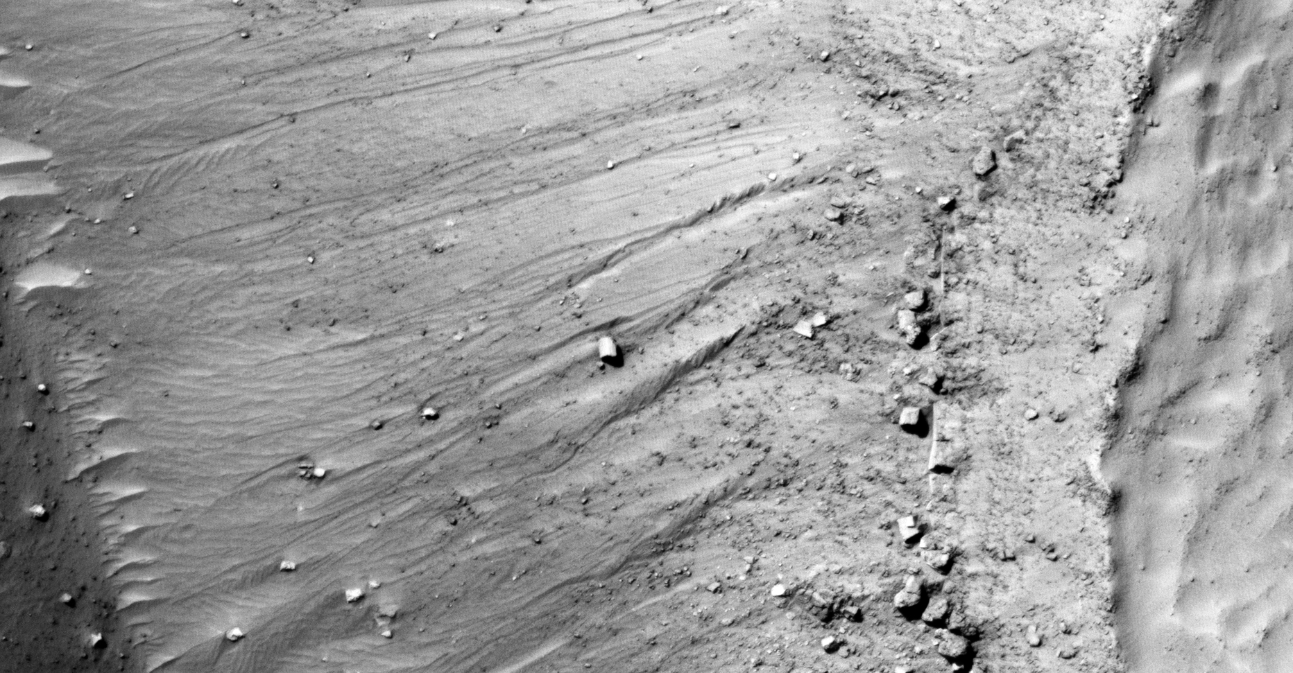
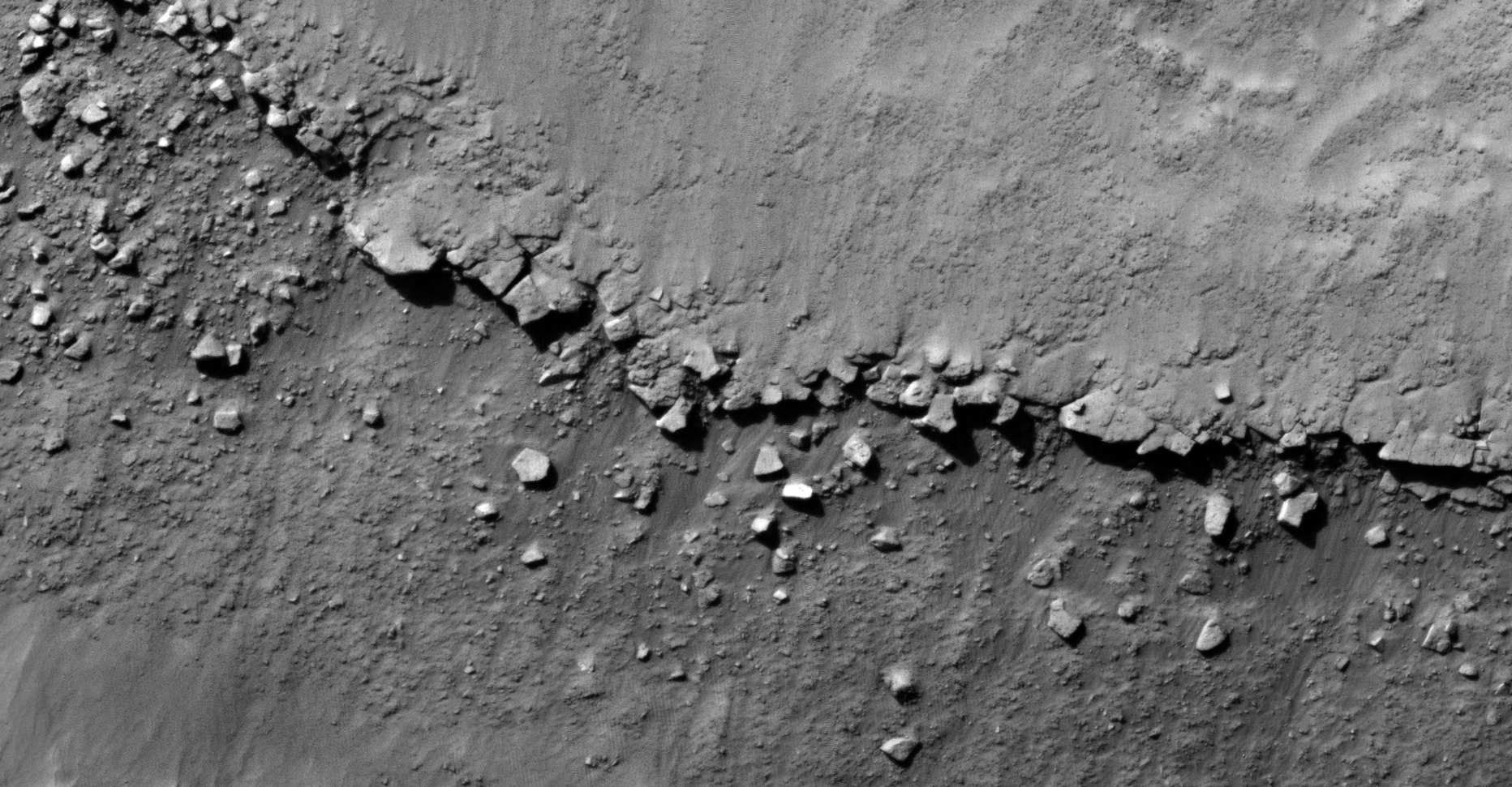
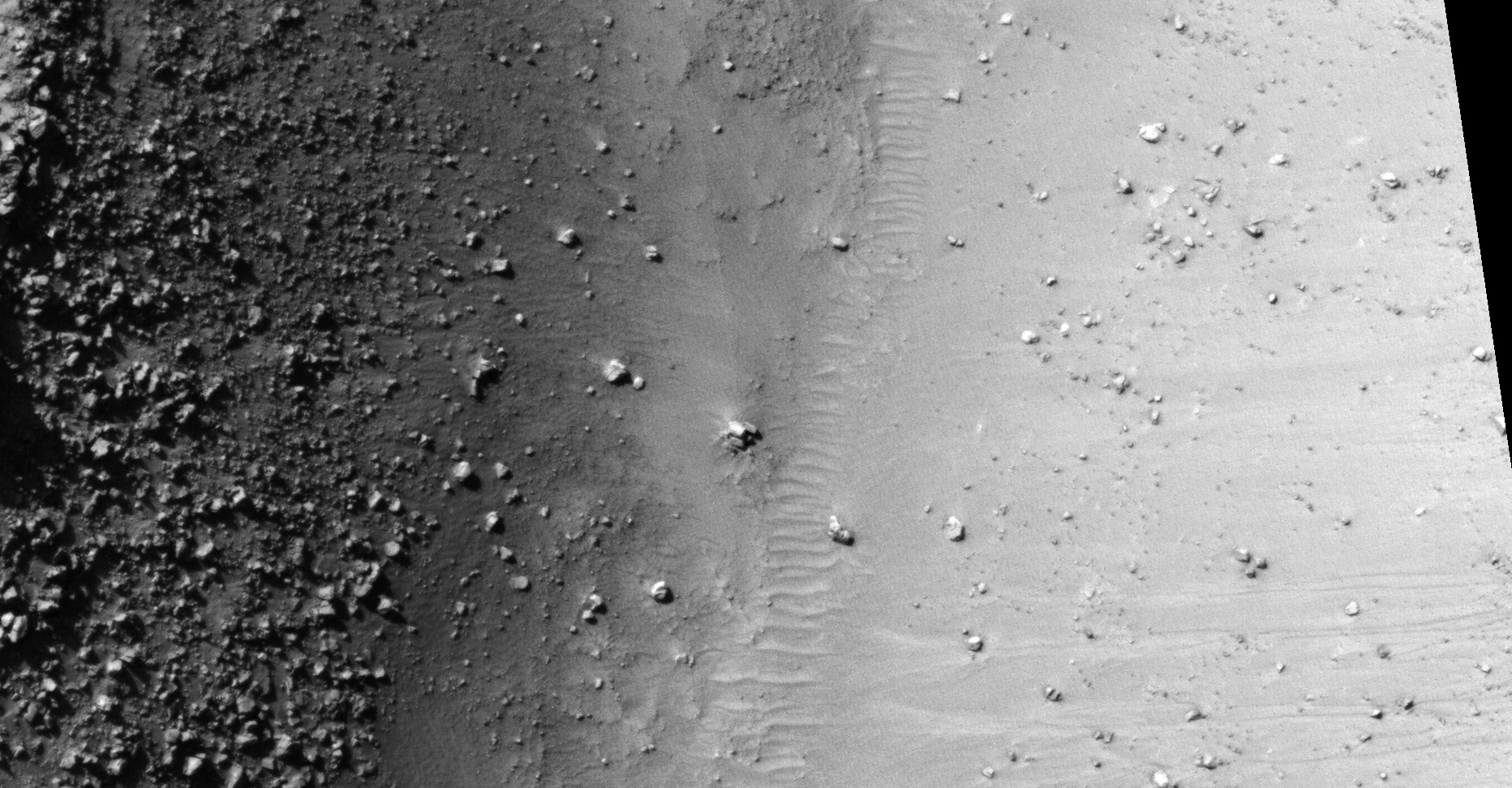
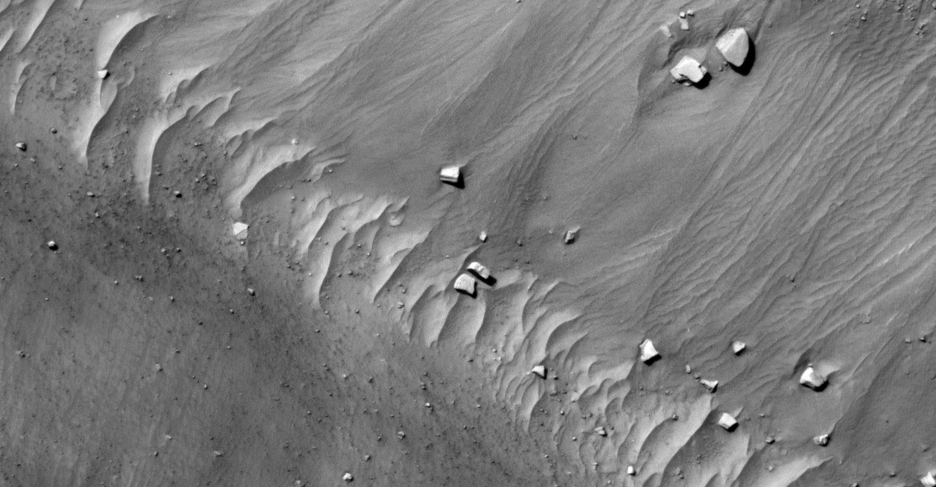
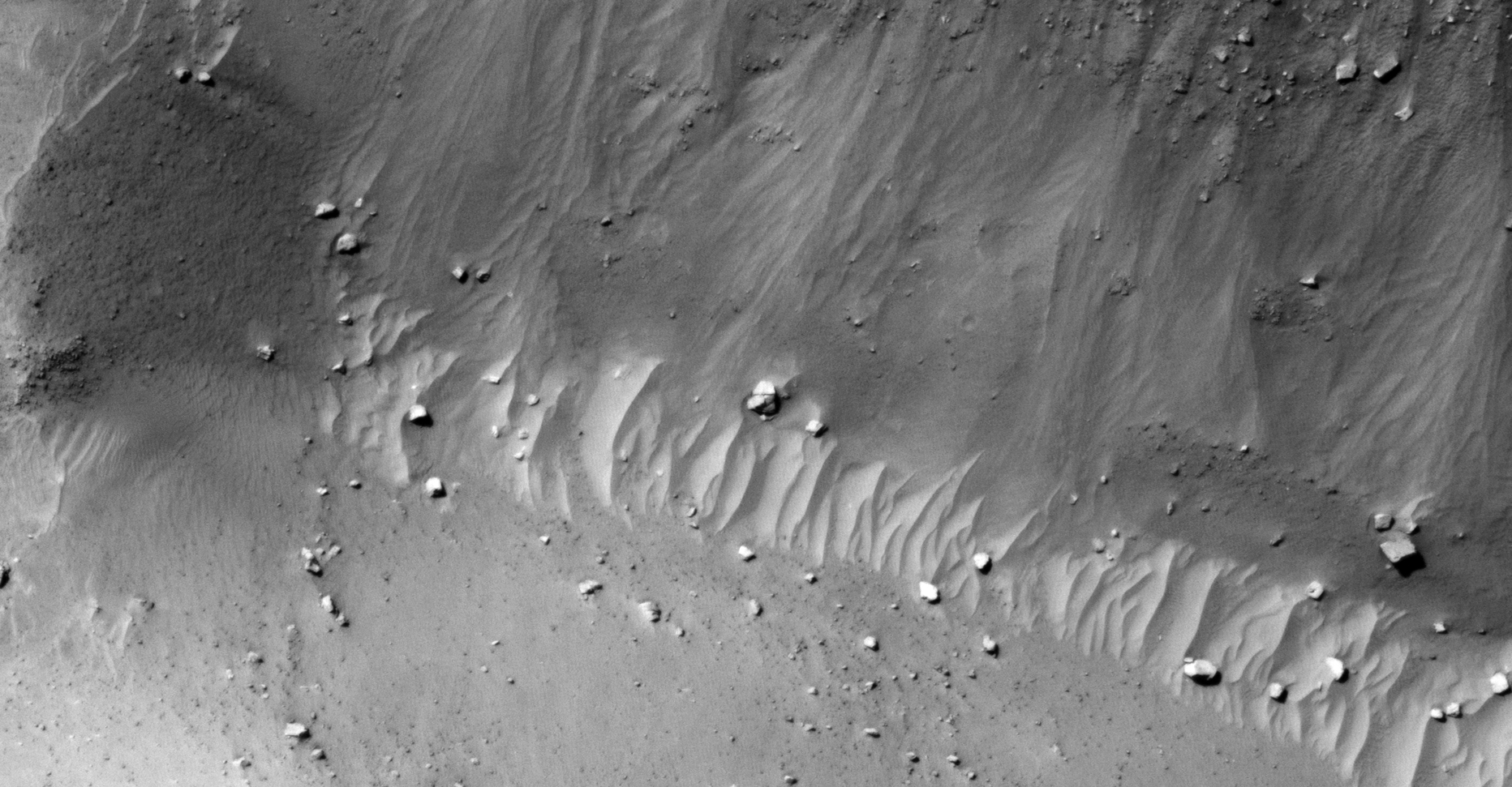
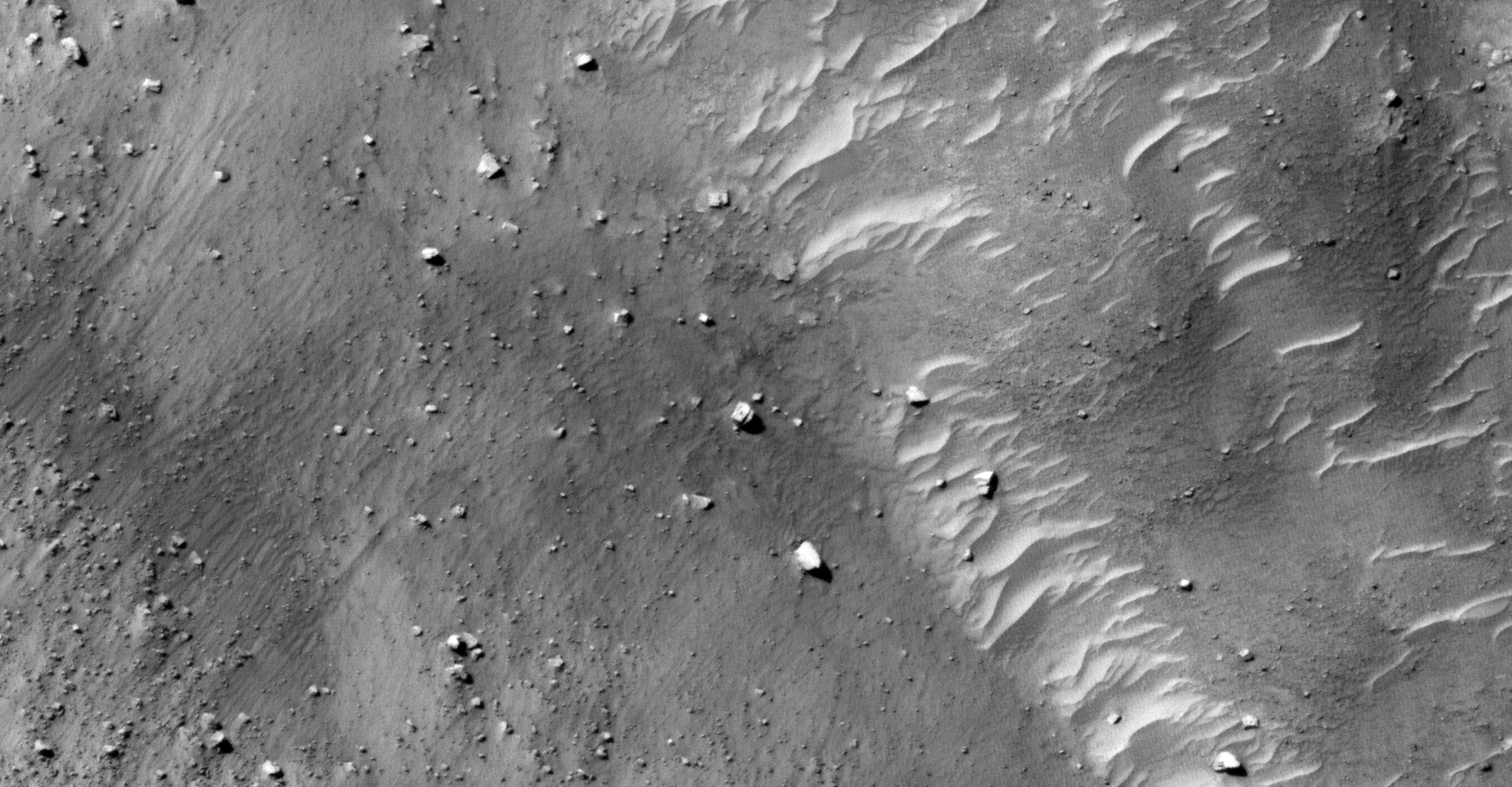
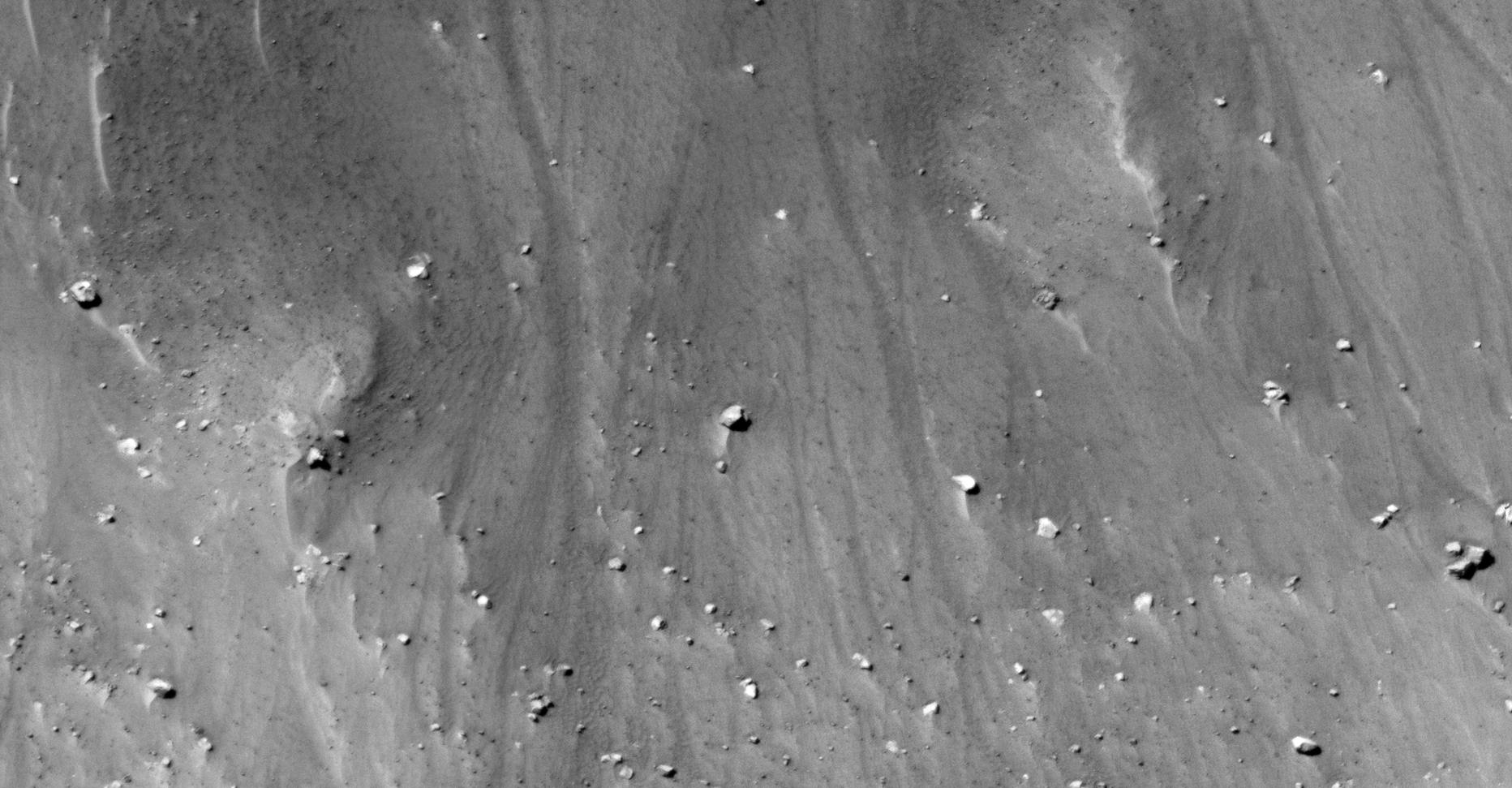
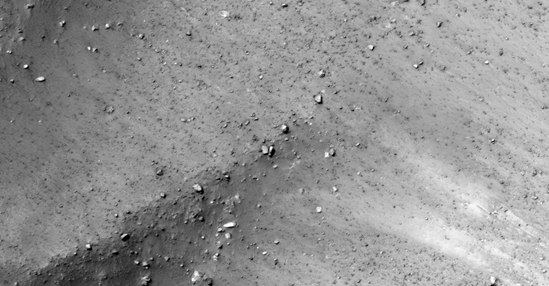
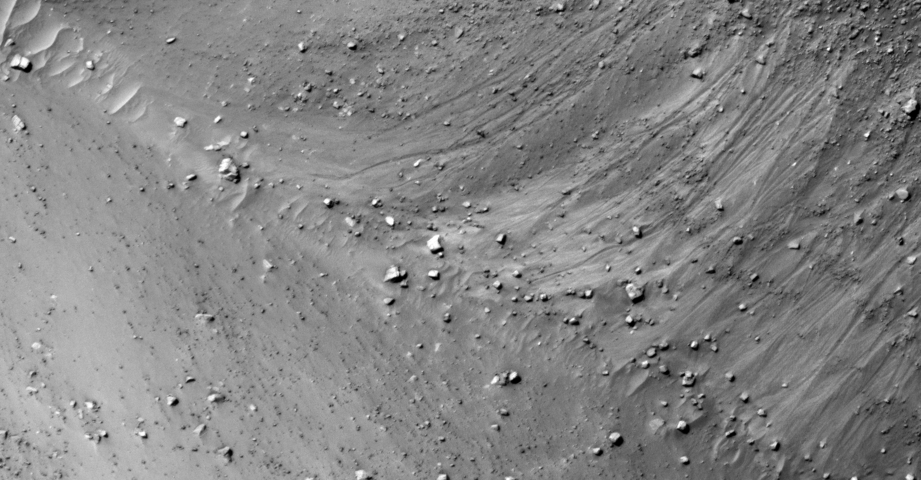
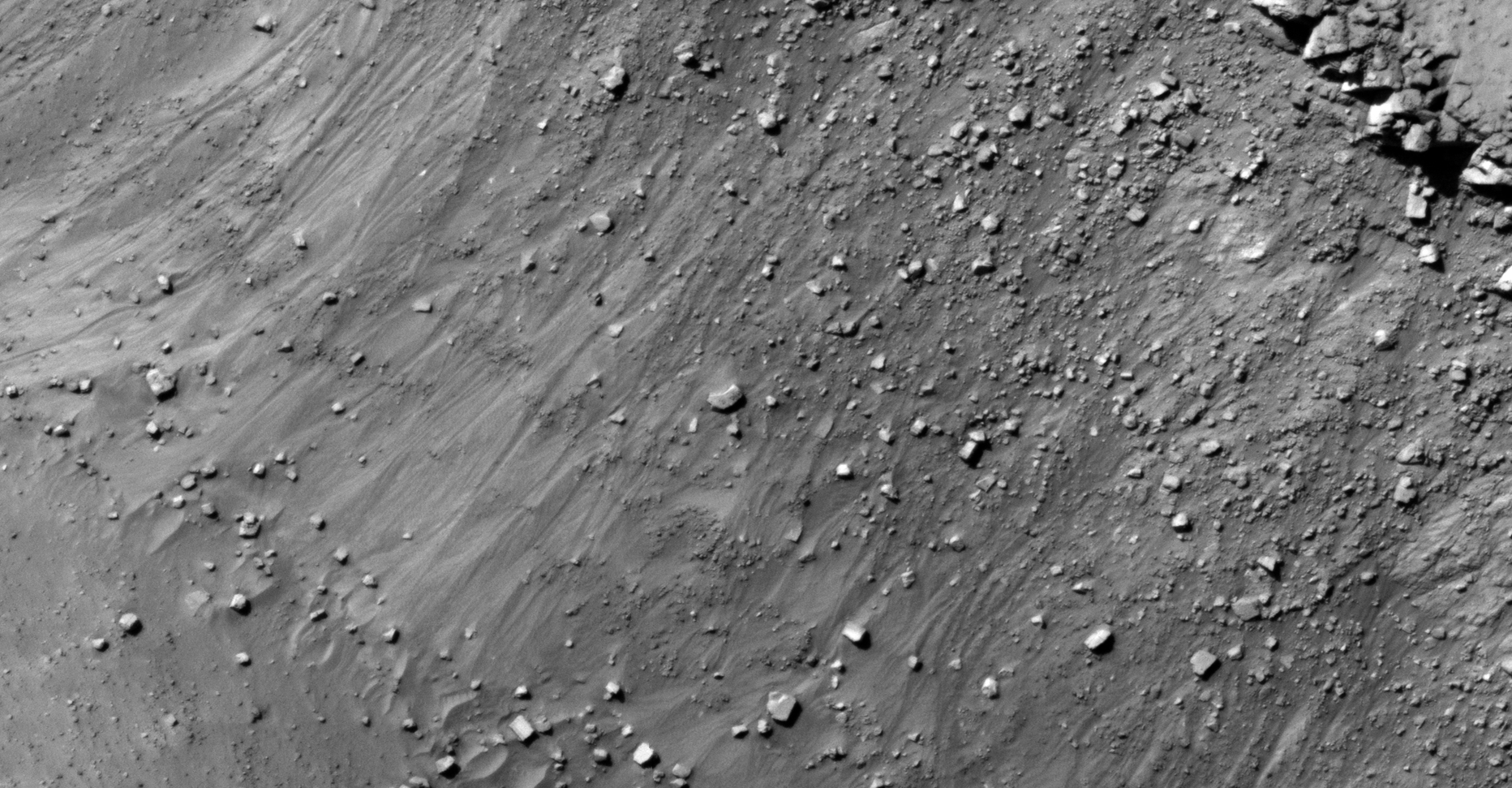
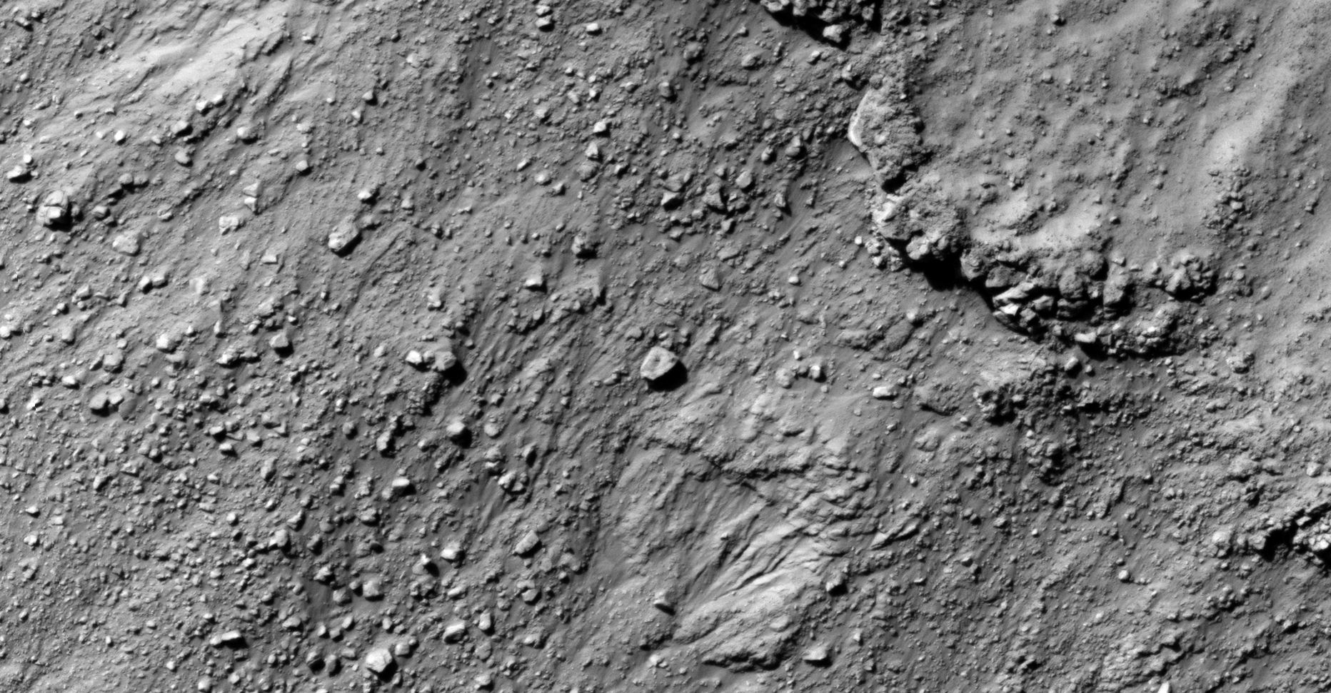
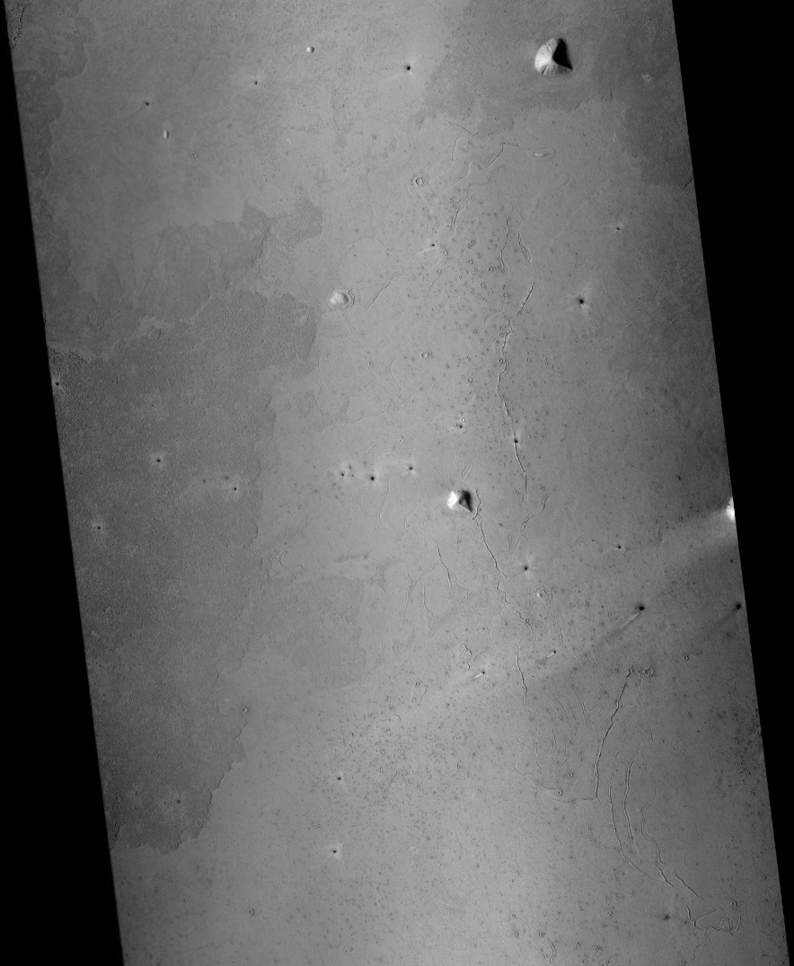
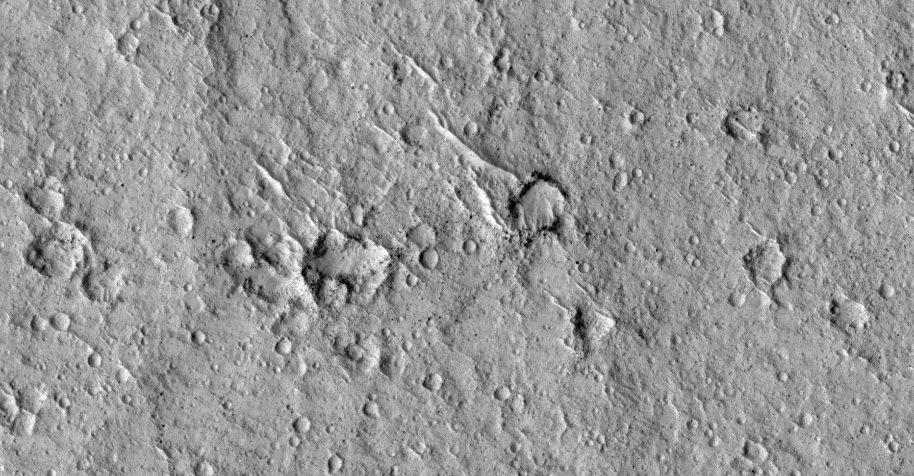
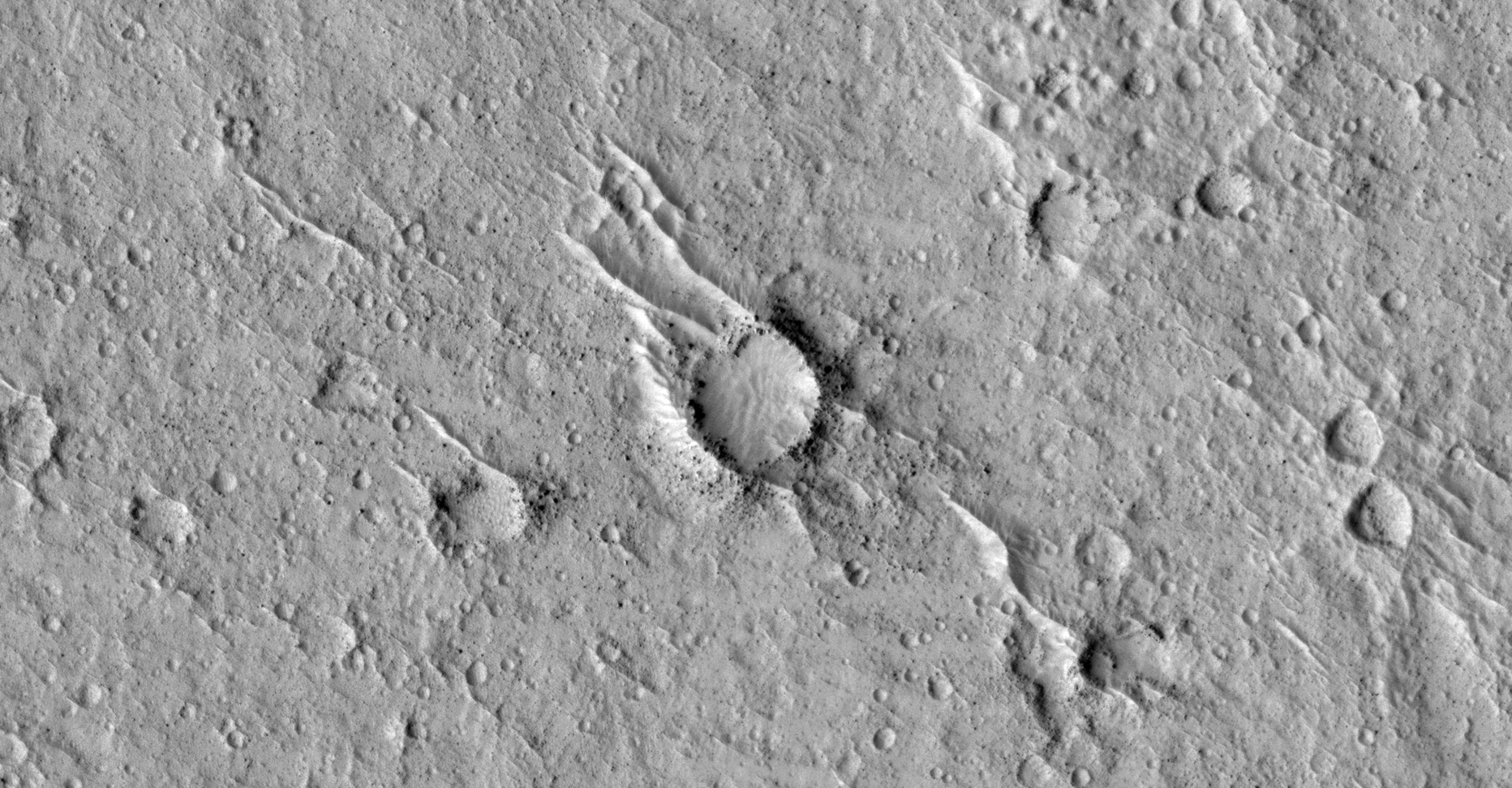
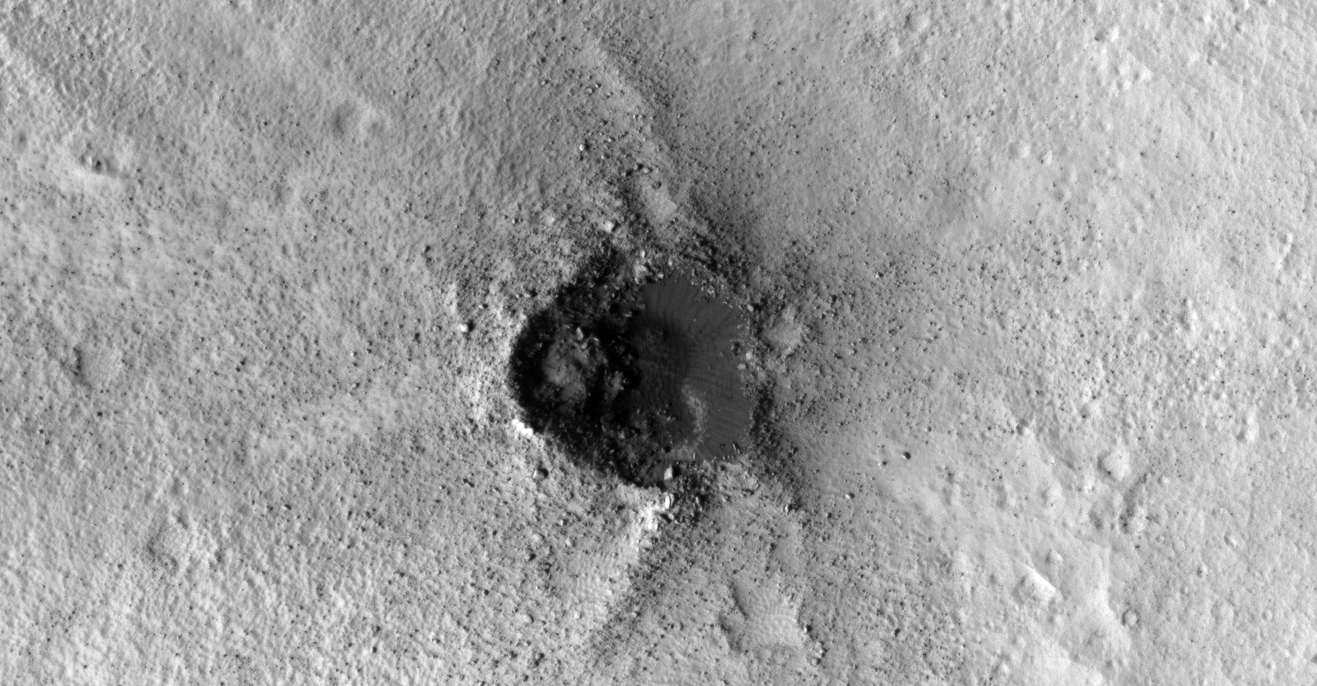
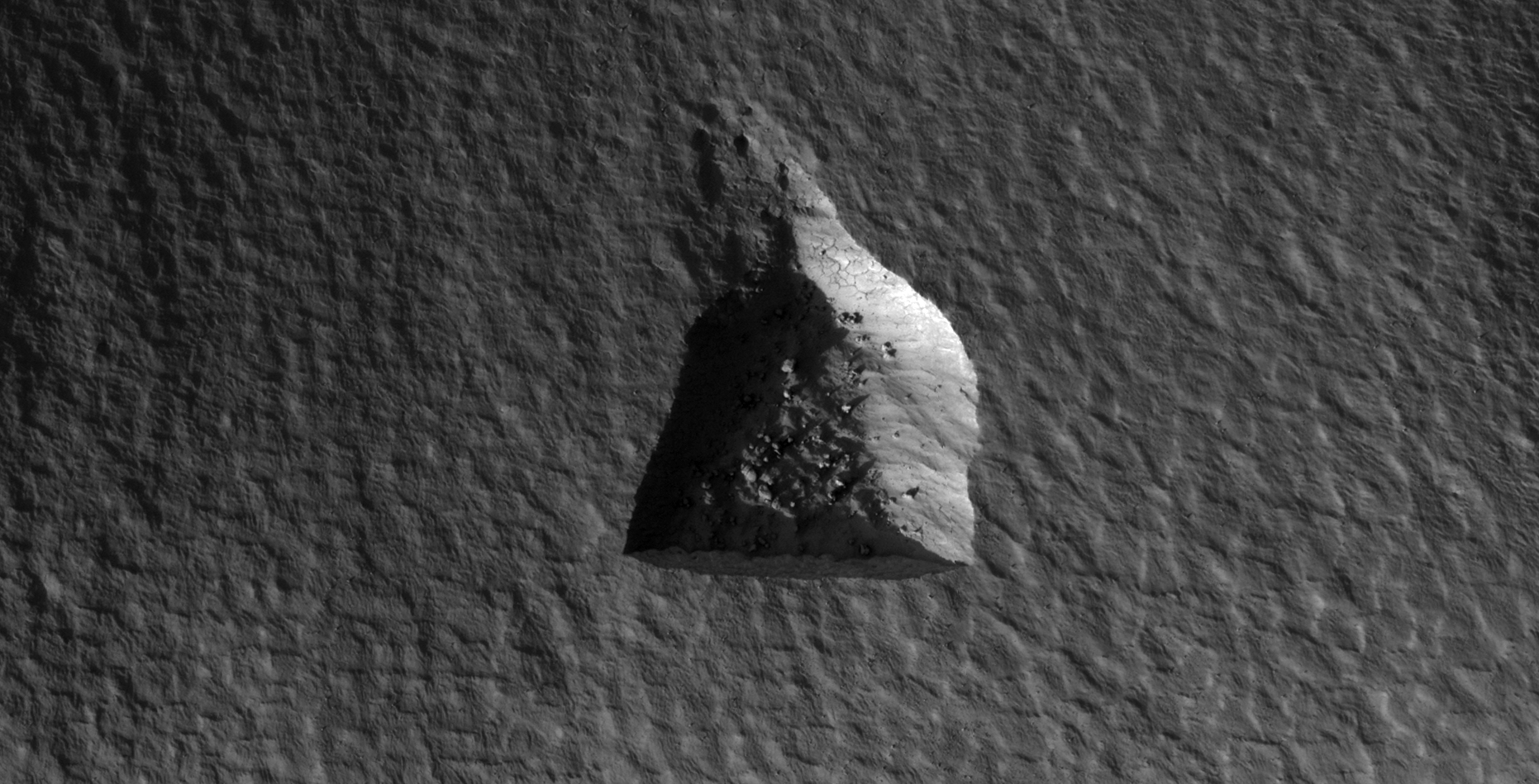
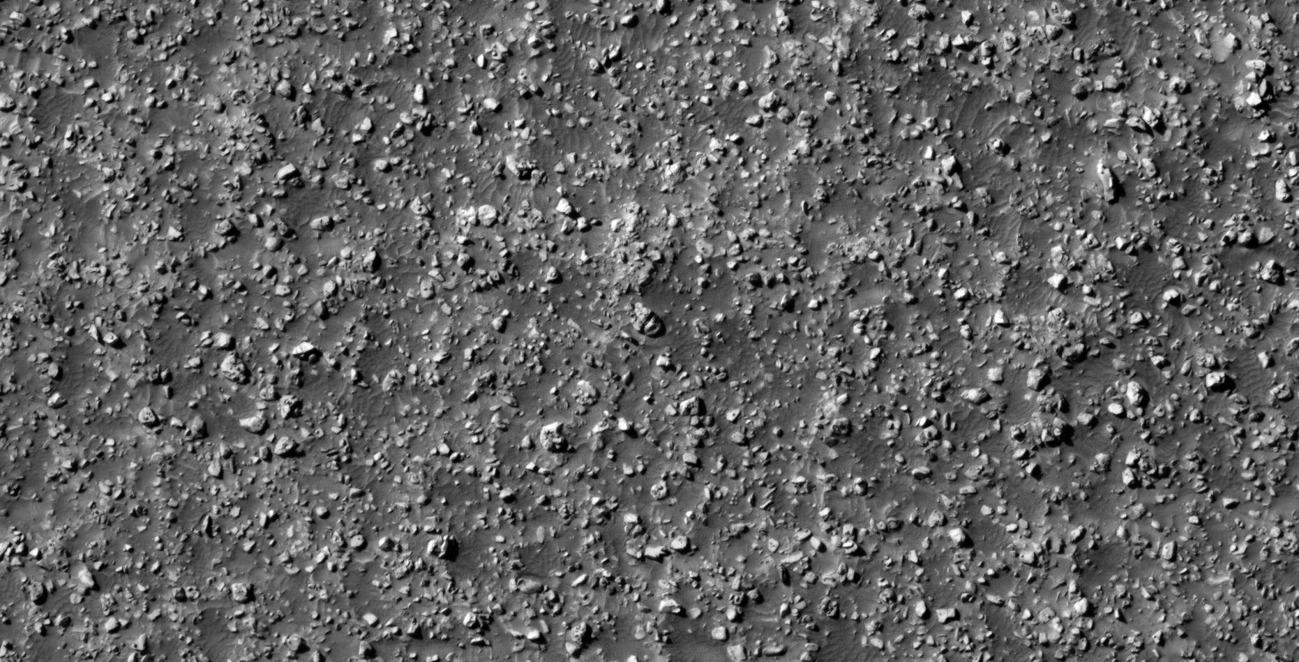
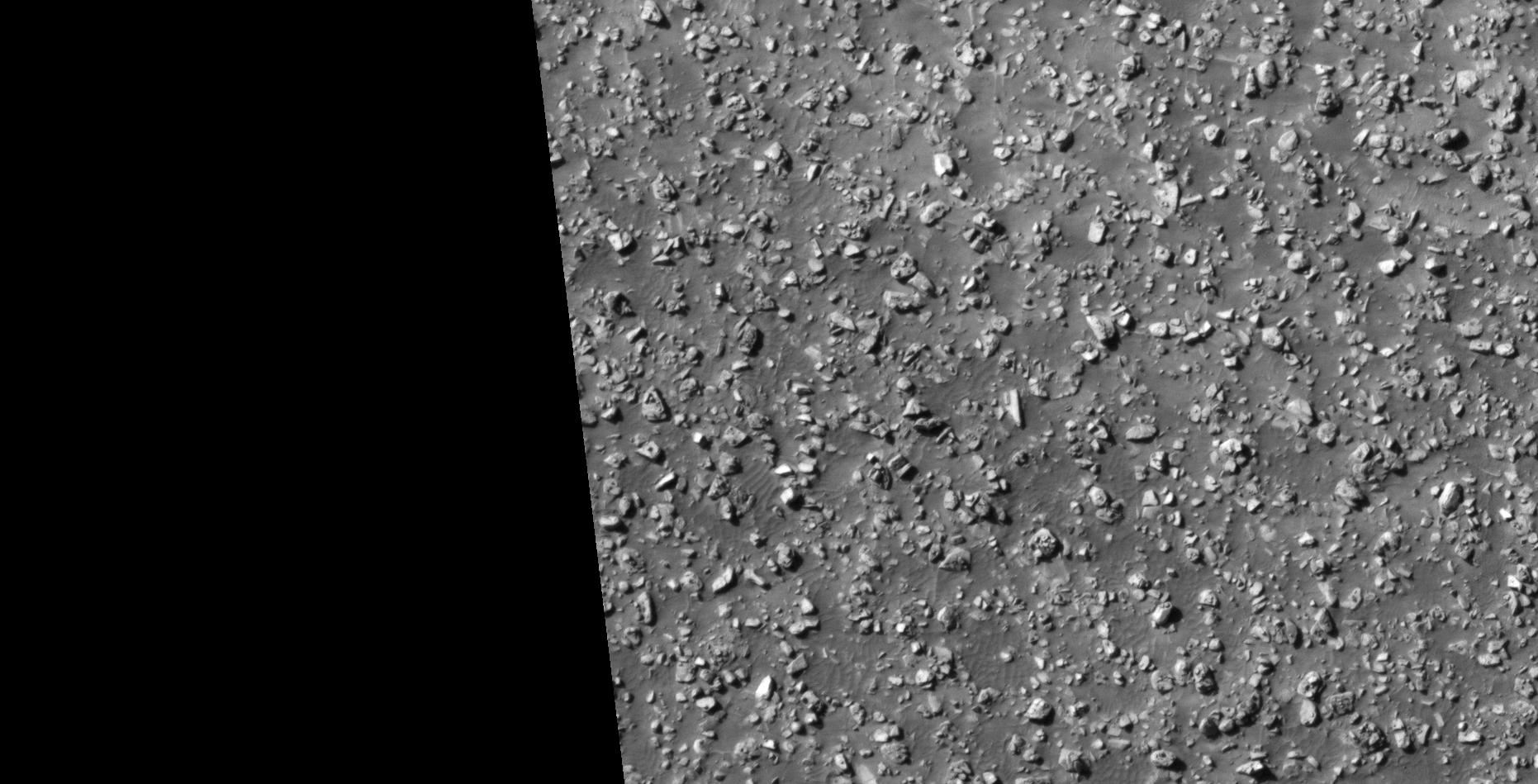
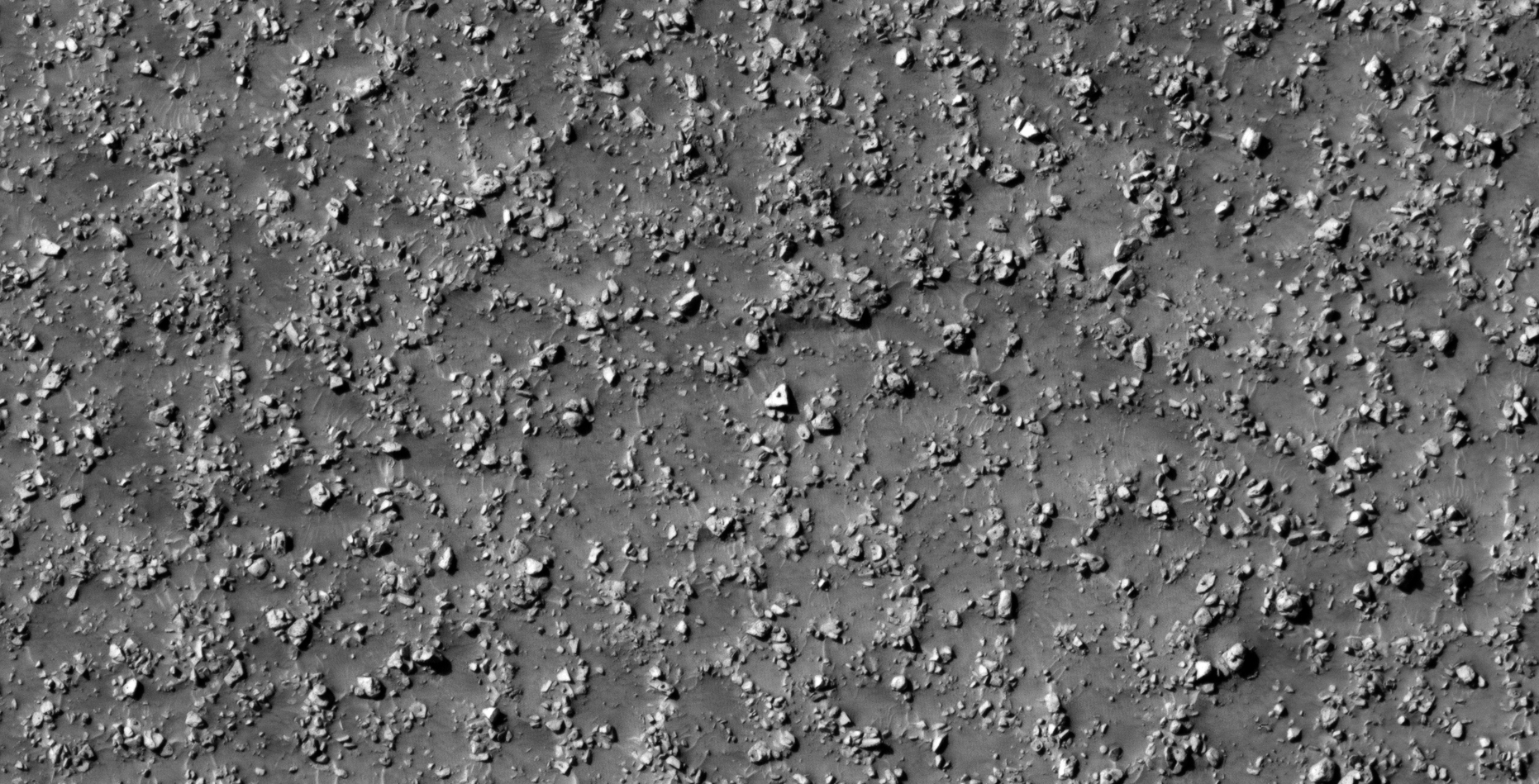
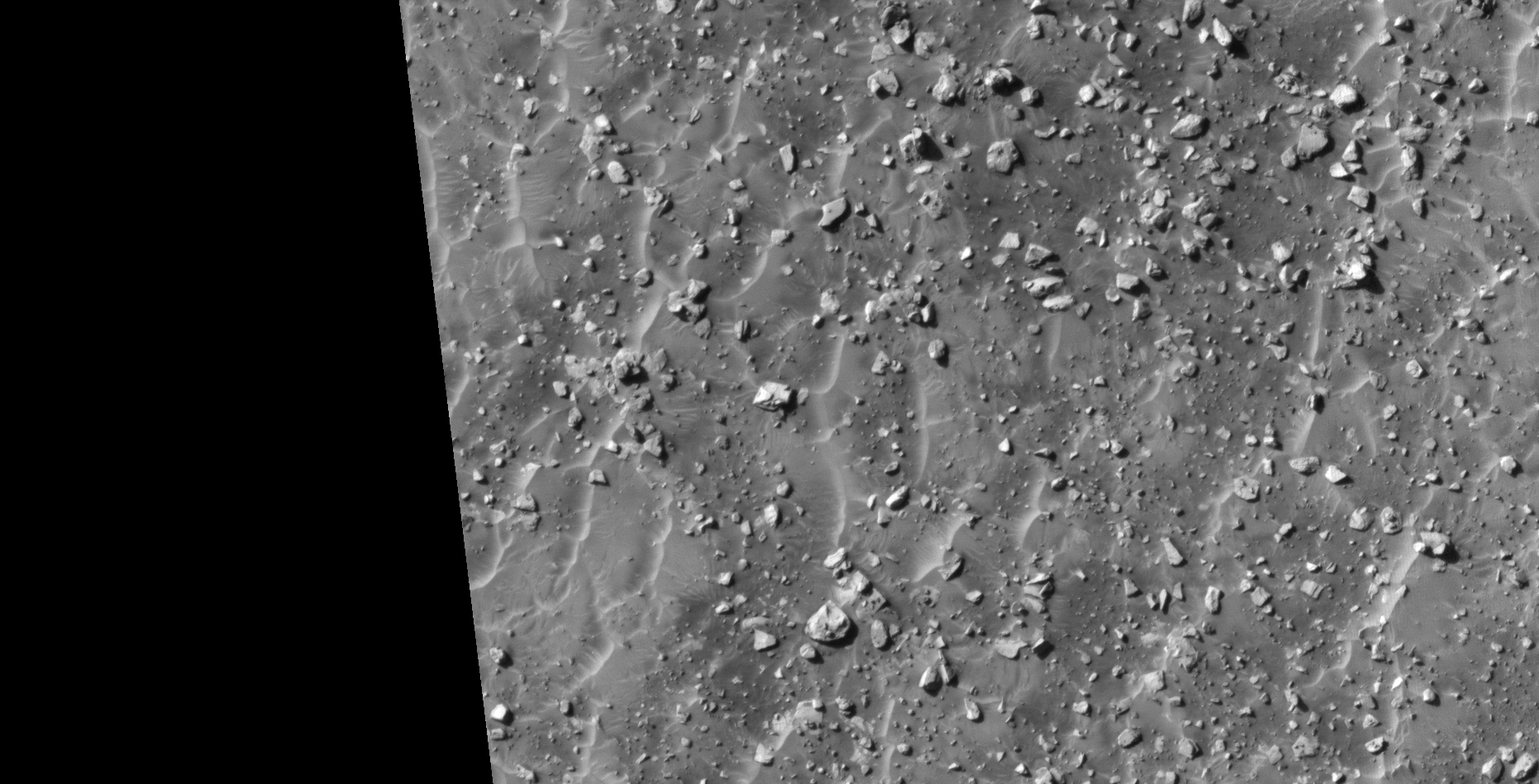
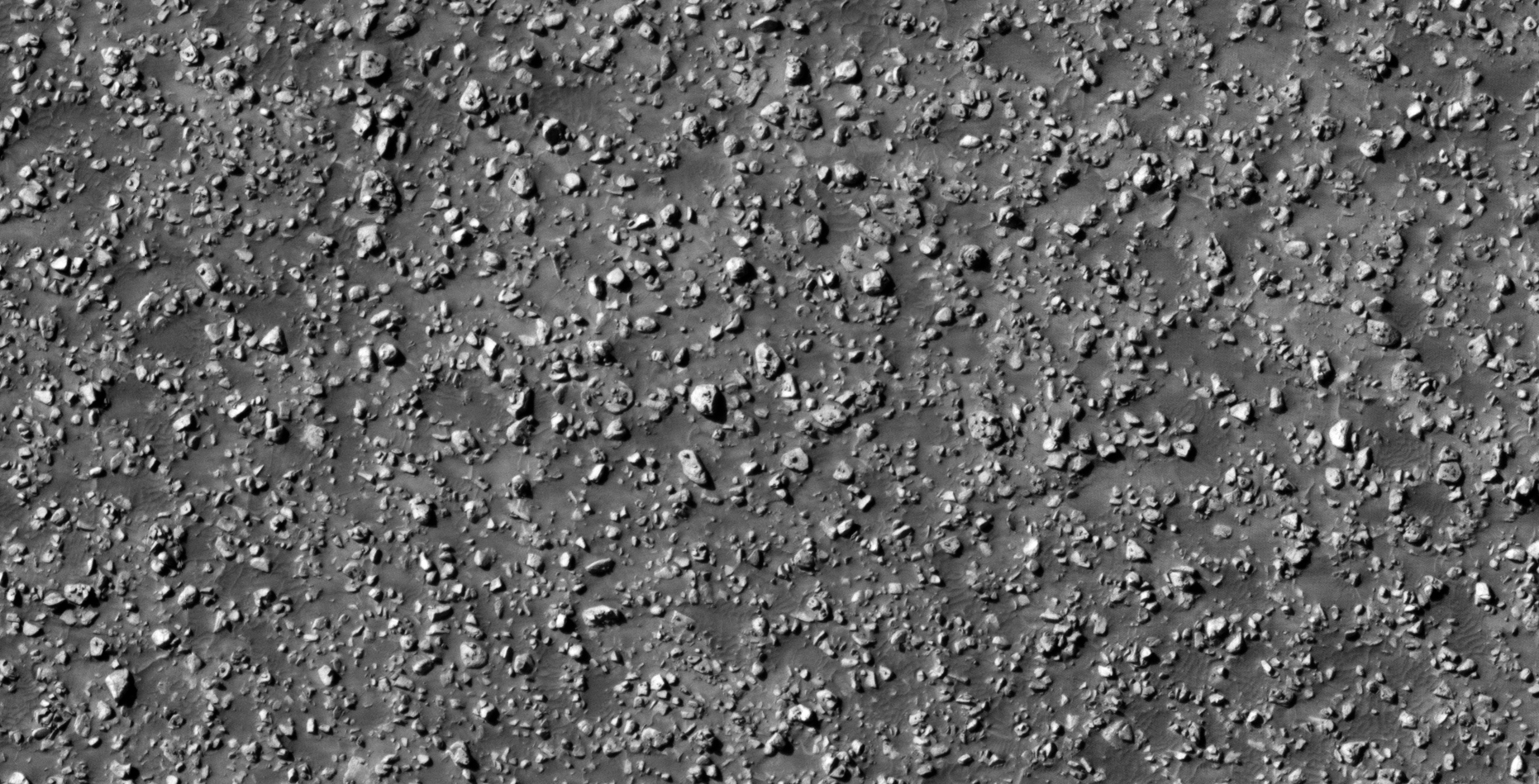
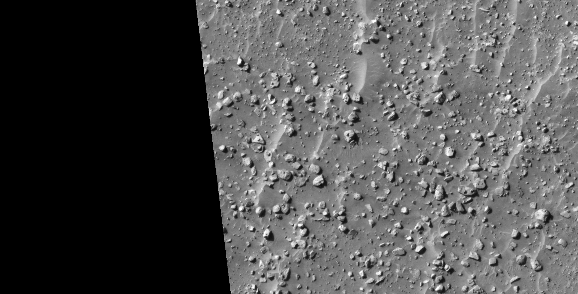
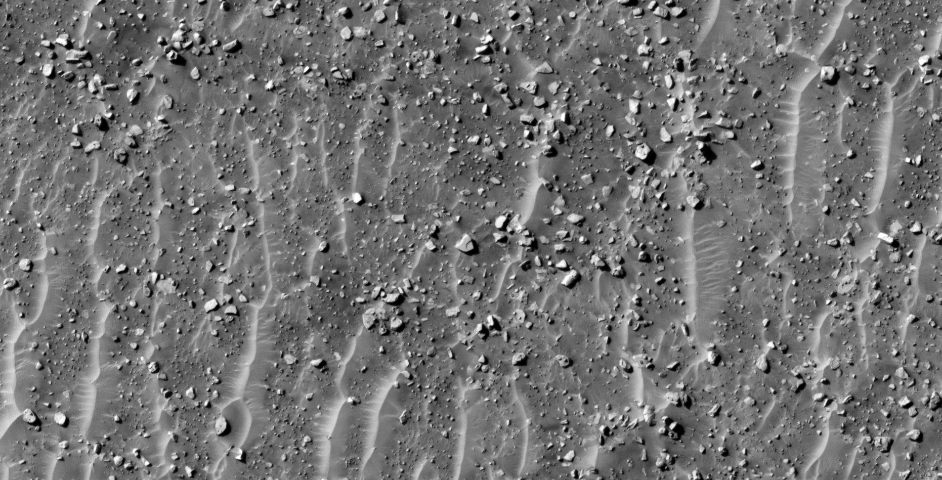
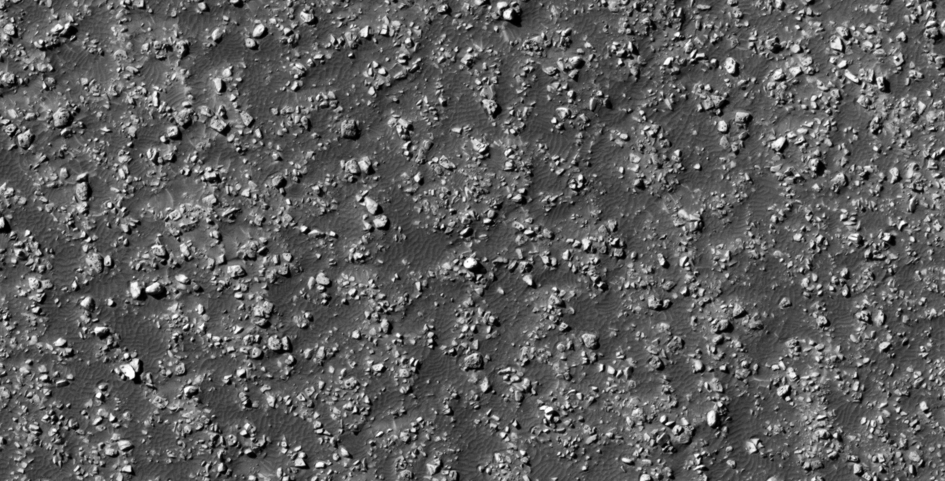
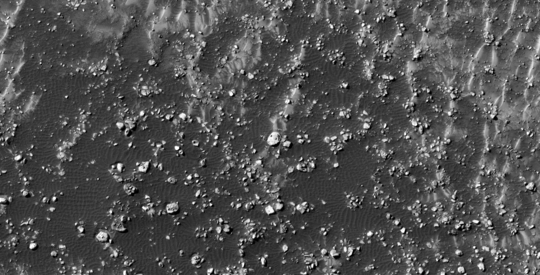
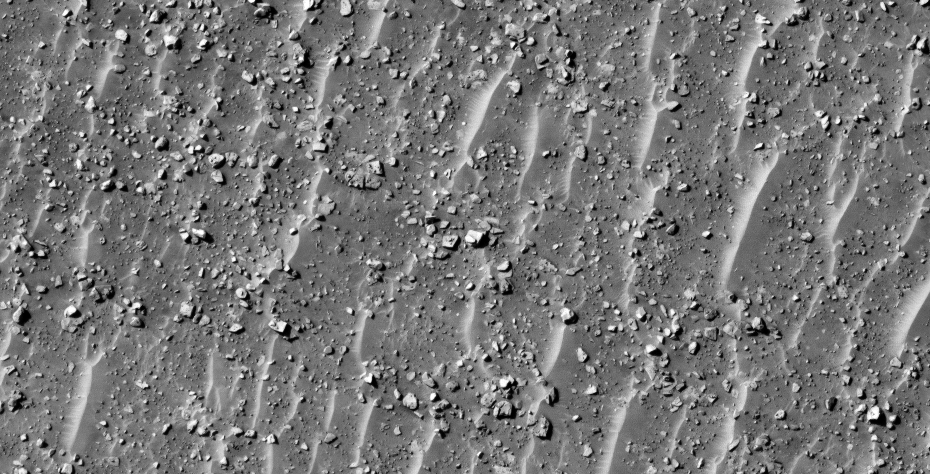
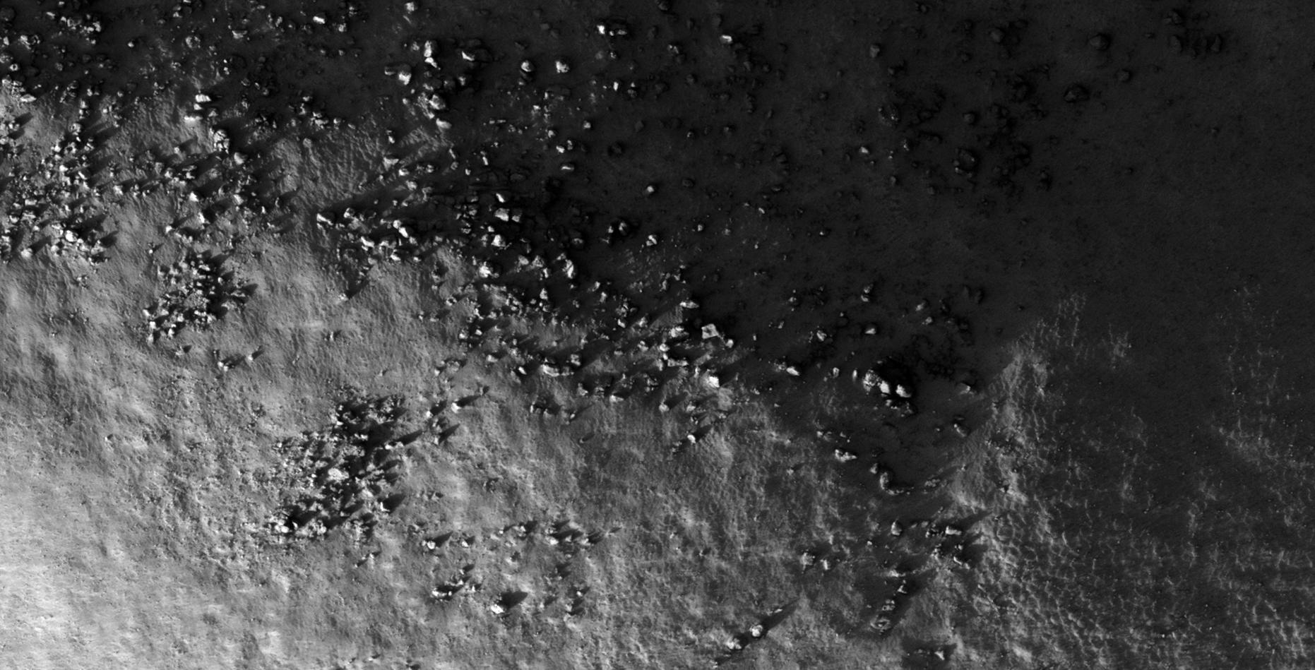
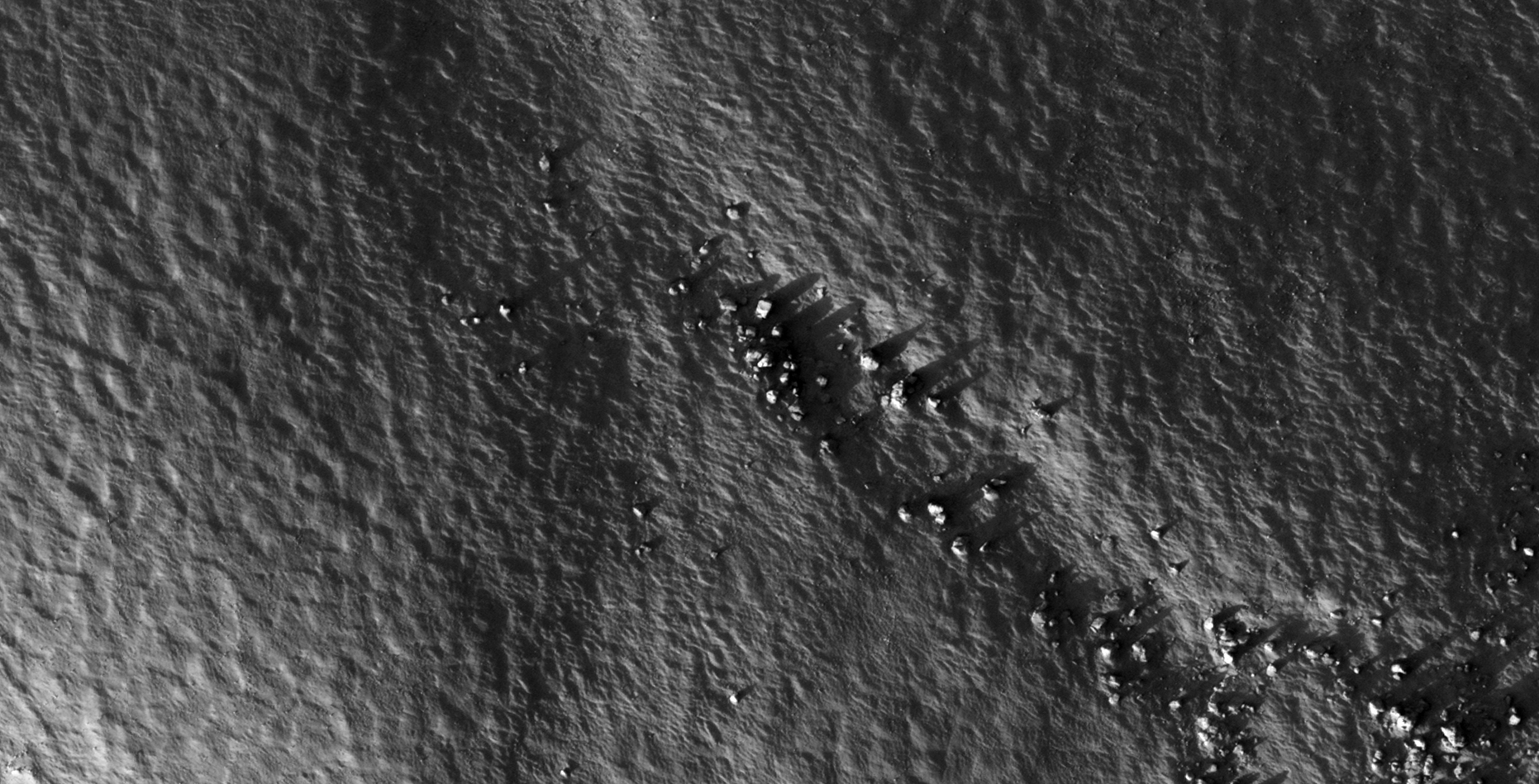
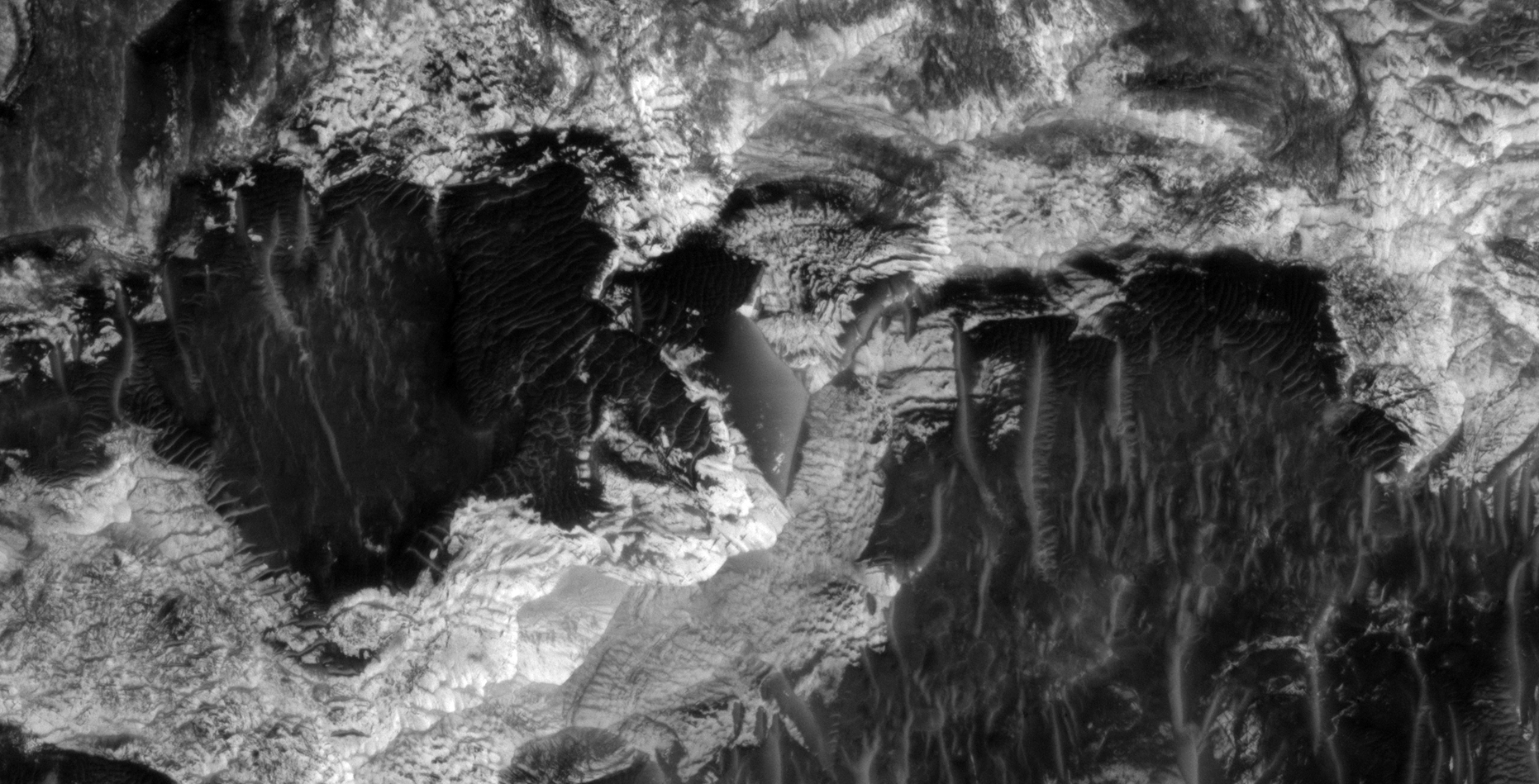
The photograph analyzed here (ESP_012445_1880) was taken by NASA’s Mars Reconnaissance Orbiter on 23 March 2009. NASA describes the photograph as ‘Disrupted and Blocky Outcrop in Cerberus Palus.’
I discovered what appears to be further ancient megalithic ruins consisting of massive, broken megalithic blocks.
Furthermore it looks like the area consisted of artificially made islands inside a canal-type system.
There are also other weird anomalies including what looks like an eroded pyramid with only one side still relatively intact. There is also a square block consisting of nine small square blocks.
PS: I decided not to include close-up zooms of the anomalies because the HiRISE photograph is too ‘noisy,’ salt and pepper and thin interference lines.
Megalithic Ruins and Blocks (click for larger image)Megalithic Ruins and Blocks (click for larger image)Megalithic Ruins and Blocks (click for larger image)Megalithic Ruins and Blocks (click for larger image)Megalithic Ruins and Blocks (click for larger image)Megalithic Ruins and Blocks (click for larger image)Megalithic Ruins and Blocks (click for larger image)Megalithic Ruins and Blocks (click for larger image)Megalithic Ruins and Blocks (click for larger image)Megalithic Ruins and Blocks (click for larger image)Megalithic Ruins and Blocks (click for larger image)Megalithic Ruins and Blocks (click for larger image)Megalithic Ruins and Blocks (click for larger image)Megalithic Ruins and Blocks (click for larger image)Megalithic Ruins and Blocks (click for larger image)Megalithic Ruins and Blocks (click for larger image)Megalithic Ruins and Blocks (click for larger image)Megalithic Ruins and Blocks (click for larger image)
Images saved from within HiView or CTX viewer do not include image scale indicators. The image scale indicators I include in images are based on the official resolutions provided by NASA and although I strive to be as accurate as possible there may be slight deviations from the actual scale. Image scale indicators are included as a size approximation tool only.
Ley lines are mapped as accurately as possible using the limited information, data and mapping tools available at the time, therefore the ley lines may deviate from target sites by a few kilometres. Revisions may be made in the future as new, more precise information, data and mapping tools become available.
Many or all of the anomalies/artefacts covered in this presentation may be naturally occurring geological features caused by some type of geological processes, however due to the lack of specific information from the source we can only speculate whether these are all natural or some artificial in nature.
In cases where I say an anomaly looks like something I’m attempting to clarify what I see and not specifically that the anomaly is what I say it looks like.
My intention is only to share anomalies I’ve discovered on Mars and not to convince anyone that there is or was a civilization on Mars.
As Will Farrar from WhatsUpInTheSky says: “I see what I see, you see what you see.”
The photograph analyzed here (ESP_023929_1425) was taken by NASA’s Mars Reconnaissance Orbiter on 04 September 2011. NASA describes the photographs as ‘Remnant of Unconformable Deposit in Electris.’
I discovered what appears to be further ancient megalithic ruins consisting of massive, broken megalithic blocks.
Some structures are still relatively intact and show a few blocks that have become dislodged.
Again, there are multiple anomalies that look like wrecked craft, damaged machinery or tech, underground entrance-ways and pieces of sculptures, even what look like a giant hatch.
Are these ancient ruins built by a civilization that lived on Mars in the distant past or were these structures formed through a natural geological processes?
To quote NASA: ‘One goal of this observation is to try to determine the origin of what’s called the ‘mantling deposit.’ How was this deposit placed here?’
Due to the fact that I have discovered multiple sites on Mars with similar matching megalithic blocks and similar objects I speculate these ancient ruins are artificial in nature.
Layered/stepped megalithic blocks/slabs or some type of technology (click for larger image)Layered/stepped megalithic block/s (click for larger image)Smooth megalithic block with rounded edge (click for larger image)Layered/stepped megalithic block or some type of metallic-looking technology (click for larger image)Layered/stepped megalithic blocks/slabs or some type of metallic-looking technology (click for larger image)Metallic-looking plate partially buried with small symmetrical parts on top (click for larger image)Megalithic slab or piece of metallic-looking technology (click for larger image)Megalithic slabs or pieces of metallic-looking technology (click for larger image)Metallic-looking technology, perhaps some type of wrecked craft (click for larger image)Layered/stepped megalithic block/s or slabs or some type of technology or wrecked craft (click for larger image)Layered/stepped megalithic blocks/slabs or some type of technology (click for larger image)Symmetrical megalithic block or some type of technology (click for larger image)Partially buried megalithic block (click for larger image)Layered/stepped megalithic blocks/slabs or some type of technology (click for larger image)Megalithic block (click for larger image)Megalithic block with smaller step carved into one corner (click for larger image)Layered/stepped megalithic blocks/slabs or some type of metallic-looking technology (click for larger image)Bent metallic-looking plate, perhaps underground entrance-way (click for larger image)Strange shaped block, perhaps a piece from a giant sculpture (click for larger image)Megalithic slabs or some type of metallic-looking technology, perhaps underground entrance-way (click for larger image)Rectangular object with what look like two holes or dark spots on one side (click for larger image)Layered/stepped megalithic blocks/slabs or some type of metallic-looking plates or technology (click for larger image)Partially buried metallic-looking technology, perhaps some type of wrecked craft (click for larger image)Megalithic block/slab with smaller knob or feature on top (click for larger image)Layered/stepped megalithic blocks/slabs or some type of metallic-looking technology (click for larger image)Megalithic block in the shape of a cube (click for larger image)Layered/stepped megalithic blocks/slabs or some type of metallic-looking technology (click for larger image)Megalithic block/slab with smaller knobs or features on top (click for larger image)Narrow megalithic slab (click for larger image)Two exposed, inter-locking megalithic blocks with knobs or smaller features on top (click for larger image)Molded object, perhaps from a sculpture (click for larger image)Megalithic blocks/slabs or some type of metallic-looking plates or technology (click for larger image)Large megalithic block with a smaller rectangular block on top (click for larger image)Exposed, inter-locking megalithic blocks (click for larger image)Narrow rectangular parts on opposite sides to a cylindrical object, perhaps a wrecked craft or some type of technology (click for larger image)Stepped/layered piece with smaller knobs or features on top (click for larger image)Two megalithic blocks (click for larger image)Part of a sculpture or some kind of destroyed technology (click for larger image)Megalithic block with multiple smaller features to the left side, perhaps part of a sculpture. It appears the piece lying next to it broke off (click for larger image)Megalithic blocks in the shape of a cubes (click for larger image)Megalithic slabs (click for larger image)Megalithic blocks (click for larger image)Triangular object partially buried in sand (click for larger image)Partially buried megalithic block or technology, note the oblong feature with smaller dome on the side (click for larger image)Megalithic block with multiple smaller features, perhaps part of a sculpture (click for larger image)Rectangular megalithic block (click for larger image)Megalithic block with knob or smaller feature on top (click for larger image)Exposed, inter-locking megalithic blocks (click for larger image)Megalithic blocks with knobs or smaller features on top (click for larger image)Multiple stacked megalithic blocks/slabs (click for larger image)Could this be some type of hatch or wrecked craft? (click for larger image)Hollow object? There seems to be a rounded opening on the one side (click for larger image)Broken sculpture pieces or perhaps smashed technology? (click for larger image)Megalithic block in the shape of a cube (click for larger image)Megalithic blocks (click for larger image)Broken sculpture piece, stepper/layered megalithic block or perhaps smashed technology? (click for larger image)Object in the shape of a heart or leaf, perhaps a sculpture piece? (click for larger image)Narrow megalithic block/slab (click for larger image)Megalithic block with knobs or smaller features on top (click for larger image)Narrow megalithic block/slab (click for larger image)Narrow megalithic block/slab (click for larger image)
Images saved from within HiView or CTX viewer do not include image scale indicators. The image scale indicators I include in images are based on the official resolutions provided by NASA and although I strive to be as accurate as possible there may be slight deviations from the actual scale. Image scale indicators are included as a size approximation tool only.
Ley lines are mapped as accurately as possible using the limited information, data and mapping tools available at the time, therefore the ley lines may deviate from target sites by a few kilometres. Revisions may be made in the future as new, more precise information, data and mapping tools become available.
Many or all of the anomalies/artefacts covered in this presentation may be naturally occurring geological features caused by some type of geological processes, however due to the lack of specific information from the source we can only speculate whether these are all natural or some artificial in nature.
In cases where I say an anomaly looks like something I’m attempting to clarify what I see and not specifically that the anomaly is what I say it looks like.
My intention is only to share anomalies I’ve discovered on Mars and not to convince anyone that there is or was a civilization on Mars.
As Will Farrar from WhatsUpInTheSky says: “I see what I see, you see what you see.”
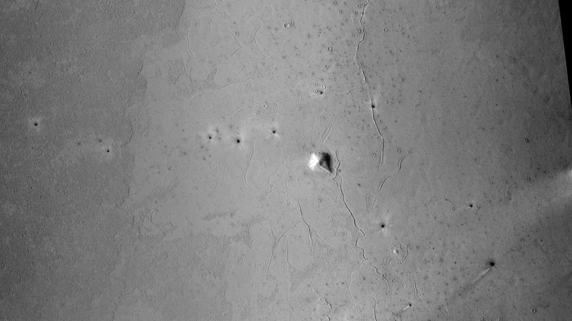
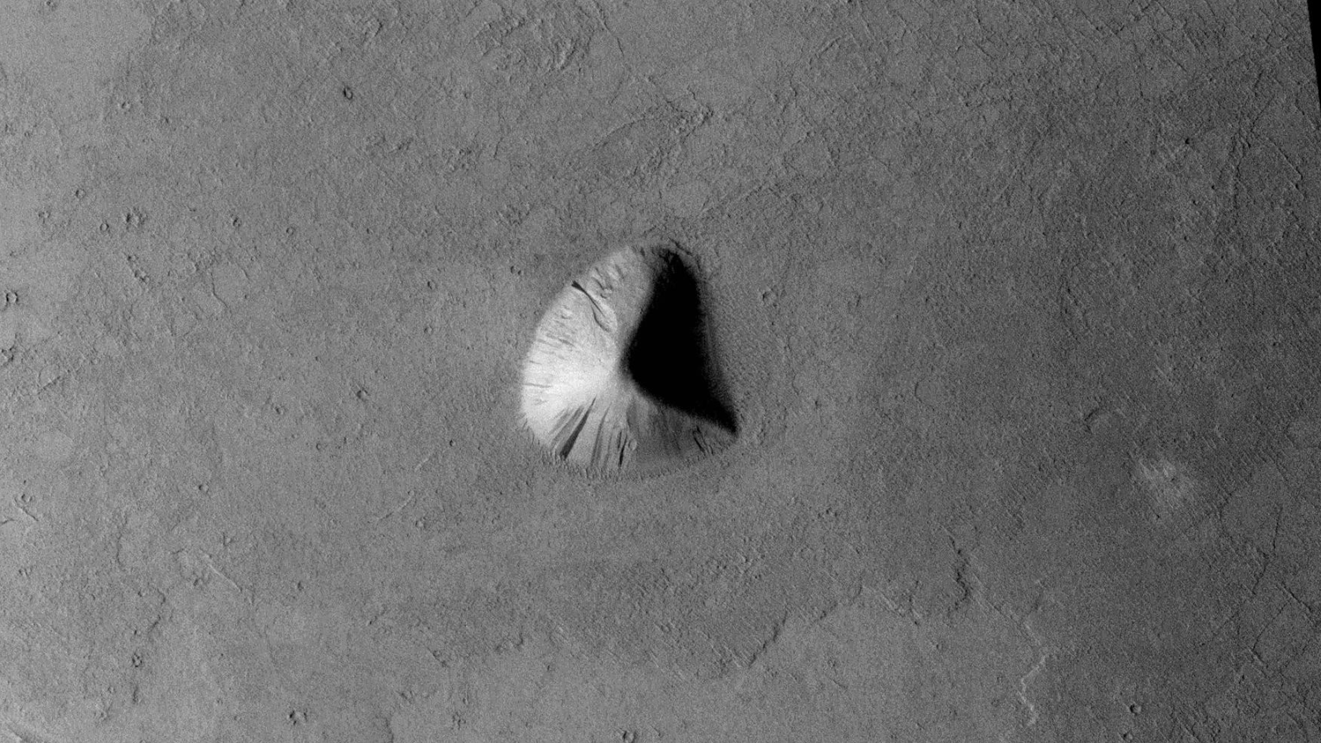
The photographs analyzed here (P13_006274_1853_XN_05N201W and ESP_020541_1860) were taken by NASA’s Mars Reconnaissance Orbiter on 28 November 2007 and 14 December 2010 respectively. NASA describes the photographs as ‘Cerberus Tholi region’ and ‘Ridges and Polygonal Terrain in Elysium Planitia’ respectively.
I discovered what looks like another ancient/derelict pyramidal structure on a vast Martian plain covered in sand and dust.
It’s not clear whether this might be an eroded pyramid or a slanted, partially buried, megalithic-block lying on the Martian surface that was pushed up through the surface leaving the smooth flat sides, eroded over time.
Both the long sides of the large triangle are approximately 600 metres in length with the short side 320 metres in length.
There also seems to be a large concave circular feature with a diameter of approximately 160 metres on the one side.
This is just another example of the many pyramid-shaped structures scattered across the planet.
Other anomalies found in the HiRISE photograph (ESP_020541_1860) show signs of recent activity on the surface, these include what look like open pit mining operations and unusual geometric shapes being carved into the surface.
Context camera images:
Derelict Pyramidal Structure found on Plains of Mars (P13_006274_1853_XN_05N201W – Zoomed Out) (click for larger image)Derelict Pyramidal Structure found on Plains of Mars (P13_006274_1853_XN_05N201W – Closer View) (click for larger image)Derelict Pyramidal Structure found on Plains of Mars (P13_006274_1853_XN_05N201W – Actual Size) (click for larger image)
There is another rather strange geometric structure located to the North above the Pyramidal structure, note the geometry and symmetry in the shape:
Strange geometric structure to the North (P13_006274_1853_XN_05N201W – Actual Size) (click for larger image)
The strange geometric structures above feature all over the Martian surface, here is an example of a multi-sided pyramidal structure I discovered in another area of Mars:
Multi-sided pyramidal structure (ESP_025752_1395 – Actual Size) (click for larger image)
HiRISE camera images:
Derelict Pyramidal Structure found on Plains of Mars (ESP_020541_1860 – Zoomed Out) (click for larger image)
Other anomalies found in the HiRISE photograph:
Generally craters/pits in area are filled with sand to the brim, however there are a few holes/surface features which appear to be disturbed and/or formed recently and might be artificial in nature.
The following images show typical, ‘standard’ craters/pits filled with sand:
Typical, ‘standard’ crater/pit filled with sand (ESP_020541_1860) (click for larger image)Typical, ‘standard’ crater/pit filled with sand (ESP_020541_1860) (click for larger image)
Compared to the two examples above, the following craters/pits or holes do not look natural, thus I speculate these holes were produced through recent activity, perhaps open pit mining, etc.:
Sign of recent activity on the surface (ESP_020541_1860) (click for larger image)Sign of recent activity on the surface (ESP_020541_1860) (click for larger image)Sign of recent activity on the surface (ESP_020541_1860) (click for larger image)
Then there’s this one, another triangular geometric shape ‘carved’ into the surface:
Mine or Strange Geometric Shape Carved Into Martian Surface (ESP_020541_1860) (click for larger image)
The anomaly above reminds me of a similar triangular geometric shape I discovered ‘carved’ into the surface in another area of Mars:
Mine or Strange Geometric Shape Carved Into Martian Surface (ESP_020286_2350) (click for larger image)
Images saved from within HiView or CTX viewer do not include image scale indicators. The image scale indicators I include in images are based on the official resolutions provided by NASA and although I strive to be as accurate as possible there may be slight deviations from the actual scale. Image scale indicators are included as a size approximation tool only.
Ley lines are mapped as accurately as possible using the limited information, data and mapping tools available at the time, therefore the ley lines may deviate from target sites by a few kilometres. Revisions may be made in the future as new, more precise information, data and mapping tools become available.
Many or all of the anomalies/artefacts covered in this presentation may be naturally occurring geological features caused by some type of geological processes, however due to the lack of specific information from the source we can only speculate whether these are all natural or some artificial in nature.
In cases where I say an anomaly looks like something I’m attempting to clarify what I see and not specifically that the anomaly is what I say it looks like.
My intention is only to share anomalies I’ve discovered on Mars and not to convince anyone that there is or was a civilization on Mars.
As Will Farrar from WhatsUpInTheSky says: “I see what I see, you see what you see.”
The photograph analyzed here (ESP_025782_2020) was taken by NASA’s Mars Reconnaissance Orbiter HiRISE Camera on 26 January 2012. NASA describes the photographs as ‘Tilted and Layered Bedrock Blocks in a Large Crater inside Becquerel Crater.’
I discovered what looks like Martian artwork depicting a creepy guy showing his head with two closed eyes, open mouth and two shoulders.
Something out of a horror movie … ‘The freaky zombie guy from Mars frozen in the sands of time.’
I’ll do a follow up video featuring the other anomalies I found in this photograph in the near future. In the meantime I thought I’d show you this interesting feature for the fun of it.
The freaky zombie guy from Mars frozen in the sands of time (click for larger image)The freaky zombie guy from Mars frozen in the sands of time – Rotated (click for larger image)
Images saved from within HiView or CTX viewer do not include image scale indicators. The image scale indicators I include in images are based on the official resolutions provided by NASA and although I strive to be as accurate as possible there may be slight deviations from the actual scale. Image scale indicators are included as a size approximation tool only.
Ley lines are mapped as accurately as possible using the limited information, data and mapping tools available at the time, therefore the ley lines may deviate from target sites by a few kilometres. Revisions may be made in the future as new, more precise information, data and mapping tools become available.
Many or all of the anomalies/artefacts covered in this presentation may be naturally occurring geological features caused by some type of geological processes, however due to the lack of specific information from the source we can only speculate whether these are all natural or some artificial in nature.
In cases where I say an anomaly looks like something I’m attempting to clarify what I see and not specifically that the anomaly is what I say it looks like.
My intention is only to share anomalies I’ve discovered on Mars and not to convince anyone that there is or was a civilization on Mars.
As Will Farrar from WhatsUpInTheSky says: “I see what I see, you see what you see.”
The photograph analyzed here (ESP_028379_1405) was taken by NASA’s Mars Reconnaissance Orbiter HiRISE Camera on 15 August 2012. NASA describes the photographs as ‘Fresh Small Crater on Rocky Filled Floor of a Much Larger Crater.’
I discovered what looks like another large debris field on Mars. Seen are more megalithic blocks with knobs, disc-shaped objects with small domes on top and wreckage of machinery or technology.
There is also a really strange hole with a crescent shape step which looks like a possible underground entrance-way or hangar-type door.
Other large holes in the Martian surface appear to have been machined, worked or possibly excavated/mined.
Could all these holes have been excavated artificially?
I’ll add the image descriptions in due course.
Excavated hole/hangar/underground entrance-way approximately 350 metres wide – Zoomed out (click for larger image)Excavated hole/hangar/underground entrance-way approximately 350 metres wide – Zoomed in 1:1 scale (click for larger image)Excavated hole approximately 350 metres wide – Zoomed out (click for larger image)Excavated hole approximately 350 metres wide – Zoomed in 1:1 scale (click for larger image)Small dome-shaped mound and rectangular megalith to the right (click for larger image)— (click for larger image)— (click for larger image)— (click for larger image)— (click for larger image)— (click for larger image)— (click for larger image)— (click for larger image)— (click for larger image)— (click for larger image)— (click for larger image)— (click for larger image)— (click for larger image)— (click for larger image)— (click for larger image)— (click for larger image)— (click for larger image)— (click for larger image)— (click for larger image)— (click for larger image)— (click for larger image)— (click for larger image)— (click for larger image)— (click for larger image)— (click for larger image)— (click for larger image)— (click for larger image)— (click for larger image)— (click for larger image)— (click for larger image)— (click for larger image)— (click for larger image)— (click for larger image)— (click for larger image)— (click for larger image)— (click for larger image)— (click for larger image)— (click for larger image)— (click for larger image)— (click for larger image)— (click for larger image)— (click for larger image)— (click for larger image)— (click for larger image)— (click for larger image)— (click for larger image)— (click for larger image)— (click for larger image)— (click for larger image)— (click for larger image)— (click for larger image)— (click for larger image)— (click for larger image)— (click for larger image)— (click for larger image)— (click for larger image)— (click for larger image)— (click for larger image)— (click for larger image)— (click for larger image)— (click for larger image)— (click for larger image)— (click for larger image)— (click for larger image)— (click for larger image)— (click for larger image)— (click for larger image)— (click for larger image)— (click for larger image)— (click for larger image)— (click for larger image)— (click for larger image)— (click for larger image)— (click for larger image)— (click for larger image)— (click for larger image)— (click for larger image)— (click for larger image)— (click for larger image)— (click for larger image)— (click for larger image)— (click for larger image)— (click for larger image)— (click for larger image)— (click for larger image)— (click for larger image)— (click for larger image)— (click for larger image)— (click for larger image)— (click for larger image)— (click for larger image)— (click for larger image)— (click for larger image)— (click for larger image)— (click for larger image)— (click for larger image)— (click for larger image)— (click for larger image)— (click for larger image)— (click for larger image)— (click for larger image)— (click for larger image)— (click for larger image)— (click for larger image)
Images saved from within HiView or CTX viewer do not include image scale indicators. The image scale indicators I include in images are based on the official resolutions provided by NASA and although I strive to be as accurate as possible there may be slight deviations from the actual scale. Image scale indicators are included as a size approximation tool only.
Ley lines are mapped as accurately as possible using the limited information, data and mapping tools available at the time, therefore the ley lines may deviate from target sites by a few kilometres. Revisions may be made in the future as new, more precise information, data and mapping tools become available.
Many or all of the anomalies/artefacts covered in this presentation may be naturally occurring geological features caused by some type of geological processes, however due to the lack of specific information from the source we can only speculate whether these are all natural or some artificial in nature.
In cases where I say an anomaly looks like something I’m attempting to clarify what I see and not specifically that the anomaly is what I say it looks like.
My intention is only to share anomalies I’ve discovered on Mars and not to convince anyone that there is or was a civilization on Mars.
As Will Farrar from WhatsUpInTheSky says: “I see what I see, you see what you see.”
The photograph analyzed here (ESP_019451_2235) was taken by NASA’s Mars Reconnaissance Orbiter HiRISE Camera on 20 September 2010. NASA describes the photograph as ‘Eroded Crater Ejecta and Mantled Terrain in Deuteronilus Mensae.’
I discovered another vast terrain on Mars littered with what look like megalithic blocks with knobs. Due to the vast number I speculate that ancient buildings/structures were built here and that some devastating event destroyed them in the distant past.
Megalithic ruins such as these and those featured in my previous Blog Post’s and YouTube video’s seem to indicate this was the preferred building style of the ancient civilization/s that once thrived on Mars.
Pile of Megalithic Blocks (click for larger image)Scattered Megalithic Blocks, note the knobs present on most of the blocks (click for larger image)A strange Megalithic Block with a diagonal step carved into it, there seems to be a small knob on the lower segment (click for larger image)More scattered Megalithic Blocks or Metallic-looking parts with knobs on their surfaces (click for larger image)Was this perhaps a sculpture of some kind? Note the strange smaller features on the surface (click for larger image)More Megalithic Blocks or Metallic-looking parts with knobs on their surfaces (click for larger image)A stepped rectangular block lying next to a triangular block which has smaller features on its surface, note the geometry and symmetry in the shape (click for larger image)A semi-buried disc-like object with a smaller dome-like feature in the center (click for larger image)Massive Megalithic Blocks with smaller, equally spaced knobs on top (click for larger image)Strange, semi-buried Metallic-looking object with a smaller features located to the side (click for larger image)More pieces with small knobs on top (click for larger image)Stepped or layered object. Could this have been part of a sculpture or wrecked machinery/technology? (click for larger image)A very smooth block with well defined edges and near right angles (click for larger image)Scattered Megalithic Blocks, note the knobs present on most of the blocks (click for larger image)Megalithic block with a small dome-like feature on top (click for larger image)Pile of Megalithic Blocks (click for larger image)Another semi-buried disc-like object with a smaller dome-like feature in the center (click for larger image)Could this have been part of a sculpture or wrecked machinery/technology? (click for larger image)Scattered Megalithic Blocks, note the knobs present on most of the blocks (click for larger image)Metallic-looking rectangular object with well defined edges and rounded corners (click for larger image)Hexagon-shaped object with a smaller hexagon-shaped feature on the side, note the oblong dome-like object located towards the bottom (click for larger image)Scattered Megalithic Blocks, note the knobs present on most of the blocks (click for larger image)
Images saved from within HiView or CTX viewer do not include image scale indicators. The image scale indicators I include in images are based on the official resolutions provided by NASA and although I strive to be as accurate as possible there may be slight deviations from the actual scale. Image scale indicators are included as a size approximation tool only.
Ley lines are mapped as accurately as possible using the limited information, data and mapping tools available at the time, therefore the ley lines may deviate from target sites by a few kilometres. Revisions may be made in the future as new, more precise information, data and mapping tools become available.
Many or all of the anomalies/artefacts covered in this presentation may be naturally occurring geological features caused by some type of geological processes, however due to the lack of specific information from the source we can only speculate whether these are all natural or some artificial in nature.
In cases where I say an anomaly looks like something I’m attempting to clarify what I see and not specifically that the anomaly is what I say it looks like.
My intention is only to share anomalies I’ve discovered on Mars and not to convince anyone that there is or was a civilization on Mars.
As Will Farrar from WhatsUpInTheSky says: “I see what I see, you see what you see.”
The photograph analyzed here (PSP_006516_1385) was taken by NASA’s Mars Reconnaissance Orbiter HiRISE Camera on 17 December 2007. NASA describes the photograph as ‘Hellespontus-Noachis Region Intracrater Deposit.’
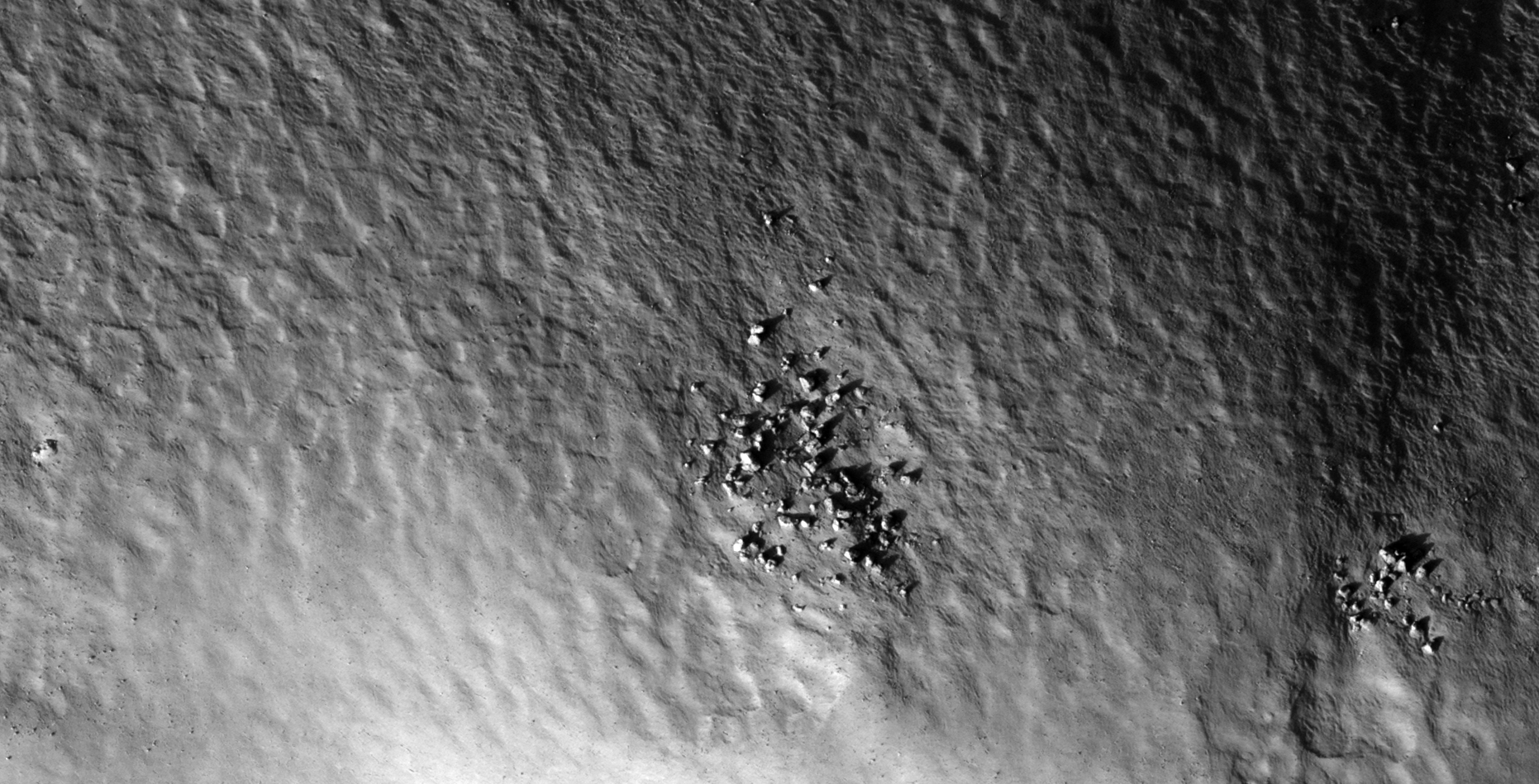
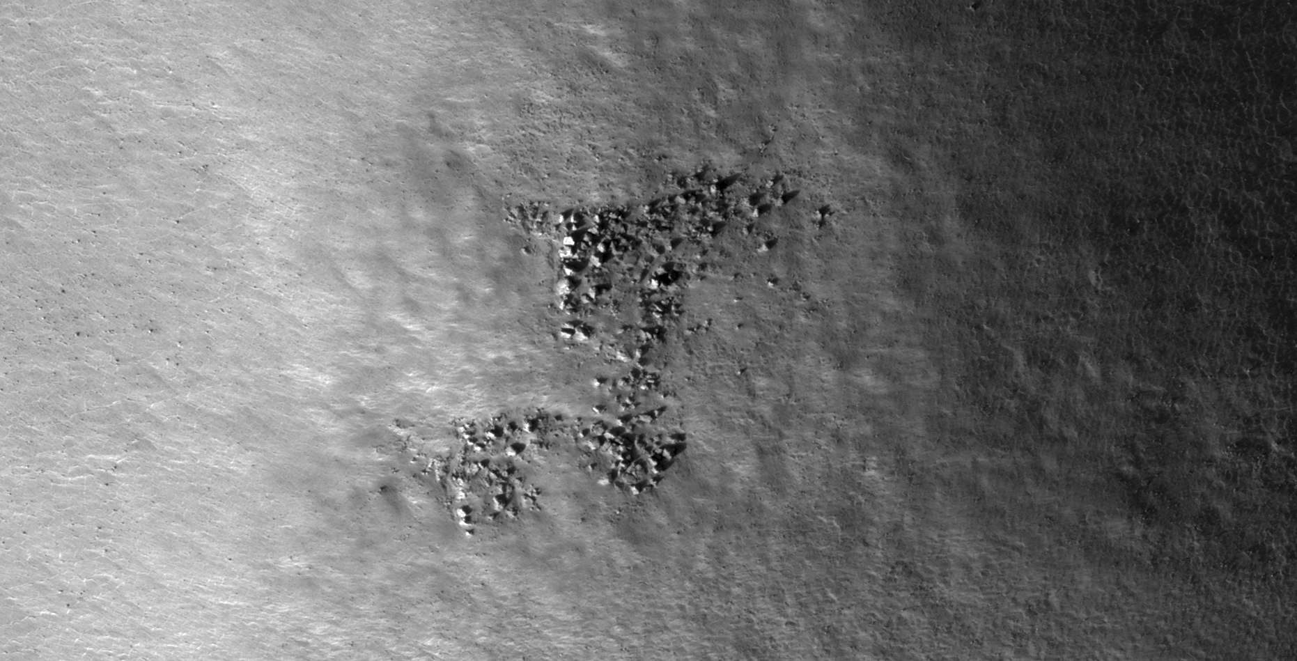
I discovered a vast terrain on Mars littered with what look like megalithic blocks with knobs. Due to the vast number I speculate that this area may have been a large-scale megalithic block manufacturing site otherwise these are remnants of destroyed ancient buildings/structures.
Close examination of the megalithic blocks on Mars show that most have small knobs, not unlike those found on Earth. Researchers studying ancient ruins on Earth are perplexed about the presence of the knobs found on most megaliths making up these ancient structures.
Vilcabamba: The ‘lost’ megalithic city of the inca. Source: ancient-code.comKnobs at Cuzco, PeruKnobs at Menkaure’s pyramid, Egypt
What researchers say about the megaliths with knobs found on Earth:
some speculate that these knobs indicate some type of concrete moulding process was used, the knob being the point at which concrete was poured into a mould;
others speculate that these are points where the rock was melted or softened using some type of technology to assist in softening the stone in the building process;
others that these are the points at which the megaliths were broken off from the larger stone out of which they were formed; while
others speculate these knobs may be handles of some sort to which ropes where attached to assist in pulling the blocks into place; while
others speculate these were used to align joins.
The Megaliths on Mars, many of which have virtually the same proportions and size, have knobs mostly located in their centres which may indicate they have been manufactured flat on the Martian surface using metal sheet-type moulds to form the shapes.
Whatever the reason for the knobs, finding a vast number of these megalithic stones with knobs on Mars is highly unusual. Normal boulders and rocks on Mars do not have small, uniformly spaced, centred, mostly same sized knobs on them which is why I speculate that these have been manufactured, perhaps by our ancient ancestors.
Megalithic Blocks with Knobs (click for larger image)Megalithic Blocks with Knobs (click for larger image)Megalithic Blocks with Knobs (click for larger image)Megalithic Blocks with Knobs (click for larger image)Megalithic Blocks with Knobs (click for larger image)Megalithic Blocks with Knobs (click for larger image)Megalithic Blocks with Knobs (click for larger image)Megalithic Blocks with Knobs (click for larger image)Megalithic Blocks with Knobs (click for larger image)Megalithic Blocks with Knobs (click for larger image)Megalithic Blocks with Knobs (click for larger image)Megalithic Blocks with Knobs (click for larger image)Megalithic Blocks with Knobs (click for larger image)Megalithic Blocks with Knobs (click for larger image)Megalithic Blocks with Knobs (click for larger image)Megalithic Blocks with Knobs (click for larger image)Megalithic Blocks with Knobs (click for larger image)Megalithic Blocks with Knobs (click for larger image)Megalithic Blocks with Knobs (click for larger image)Megalithic Blocks with Knobs (click for larger image)Megalithic Blocks with Knobs (click for larger image)Megalithic Blocks with Knobs (click for larger image)Megalithic Blocks with Knobs (click for larger image)Megalithic Blocks with Knobs (click for larger image)Megalithic Blocks with Knobs (click for larger image)Megalithic Blocks with Knobs (click for larger image)Megalithic Blocks with Knobs (click for larger image)Megalithic Blocks with Knobs (click for larger image)Megalithic Blocks with Knobs (click for larger image)Megalithic Blocks with Knobs (click for larger image)Megalithic Blocks with Knobs (click for larger image)Megalithic Blocks with Knobs (click for larger image)Megalithic Blocks with Knobs (click for larger image)Megalithic Blocks with Knobs (click for larger image)Megalithic Blocks with Knobs (click for larger image)Megalithic Blocks with Knobs (click for larger image)Megalithic Blocks with Knobs (click for larger image)Megalithic Blocks with Knobs (click for larger image)Megalithic Blocks with Knobs (click for larger image)Megalithic Blocks with Knobs (click for larger image)Megalithic Blocks with Knobs (click for larger image)Megalithic Blocks with Knobs (click for larger image)Megalithic Blocks with Knobs (click for larger image)Megalithic Blocks with Knobs (click for larger image)Megalithic Blocks with Knobs (click for larger image)Megalithic Blocks with Knobs (click for larger image)Megalithic Blocks with Knobs (click for larger image)Megalithic Blocks with Knobs (click for larger image)Megalithic Blocks with Knobs (click for larger image)Megalithic Blocks with Knobs (click for larger image)Megalithic Blocks with Knobs (click for larger image)Megalithic Blocks with Knobs (click for larger image)Megalithic Blocks with Knobs (click for larger image)Megalithic Blocks with Knobs (click for larger image)Megalithic Blocks with Knobs (click for larger image)Megalithic Blocks with Knobs (click for larger image)
Images saved from within HiView or CTX viewer do not include image scale indicators. The image scale indicators I include in images are based on the official resolutions provided by NASA and although I strive to be as accurate as possible there may be slight deviations from the actual scale. Image scale indicators are included as a size approximation tool only.
Ley lines are mapped as accurately as possible using the limited information, data and mapping tools available at the time, therefore the ley lines may deviate from target sites by a few kilometres. Revisions may be made in the future as new, more precise information, data and mapping tools become available.
Many or all of the anomalies/artefacts covered in this presentation may be naturally occurring geological features caused by some type of geological processes, however due to the lack of specific information from the source we can only speculate whether these are all natural or some artificial in nature.
In cases where I say an anomaly looks like something I’m attempting to clarify what I see and not specifically that the anomaly is what I say it looks like.
My intention is only to share anomalies I’ve discovered on Mars and not to convince anyone that there is or was a civilization on Mars.
As Will Farrar from WhatsUpInTheSky says: “I see what I see, you see what you see.”
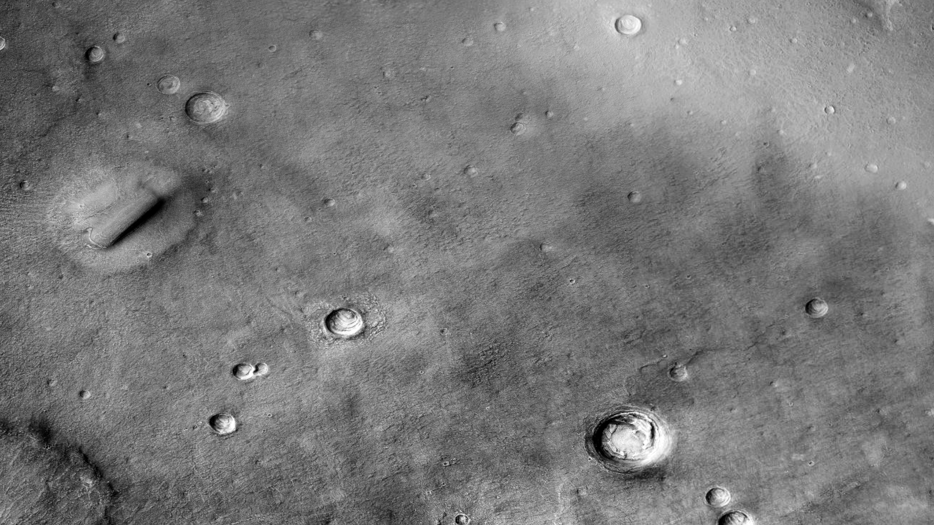
The photograph analyzed here (B17_016259_2199_XN_39N300W) were taken by NASA’s Mars Reconnaissance Orbiter Context Camera (CTX) Camera on 2010-01-14. NASA describes the photographs as “Protonilus/Nilosyrtis fretted terrain – northern plains transition area.’
This is a tribute to two brilliant men, Eugene Roddenberry, creator of the Star Trek television series and Sir Arthur C. Clarke, author or 2001: A Space Odyssey.
Eugene Roddenberry and Sir Arthur C. Clarke
I discovered what looks like the Star Trek Enterprise primary (saucer section) and secondary hulls without warp nacelles parked on the Martian surface and a huge monolith as featured in 2001: A Space Odyssey.
The ‘Enterprise’ measures approximately 300 metres across and the ‘monolith’ approximately 2 km long by 300 metres wide.
I just thought this is a great NASA photograph that unwittingly pays homage to two great guys and the awesome legacy they left for us and future generations.
These anomalies featured in my Viewers Special YouTube video in which I gave my viewers an opportunity to let me know what their take on these anomalies are, however only one viewer responded.
‘Enterprise’ primary (saucer section) and secondary hulls without warp nacelles parked on the Martian surface (click for larger image)The ‘2001: A Space Odyssey Monolith’ lying on the Martian surface covered in sand and dust (click for larger image)
Images saved from within HiView or CTX viewer do not include image scale indicators. The image scale indicators I include in images are based on the official resolutions provided by NASA and although I strive to be as accurate as possible there may be slight deviations from the actual scale. Image scale indicators are included as a size approximation tool only.
Ley lines are mapped as accurately as possible using the limited information, data and mapping tools available at the time, therefore the ley lines may deviate from target sites by a few kilometres. Revisions may be made in the future as new, more precise information, data and mapping tools become available.
Many or all of the anomalies/artefacts covered in this presentation may be naturally occurring geological features caused by some type of geological processes, however due to the lack of specific information from the source we can only speculate whether these are all natural or some artificial in nature.
In cases where I say an anomaly looks like something I’m attempting to clarify what I see and not specifically that the anomaly is what I say it looks like.
My intention is only to share anomalies I’ve discovered on Mars and not to convince anyone that there is or was a civilization on Mars.
As Will Farrar from WhatsUpInTheSky says: “I see what I see, you see what you see.”
The photograph analyzed here (PSP_007860_1470) were taken by NASA’s Mars Reconnaissance Orbiter HiRISE Camera on 30 March 2008. NASA describes the photographs as “Hellas Planitia.”
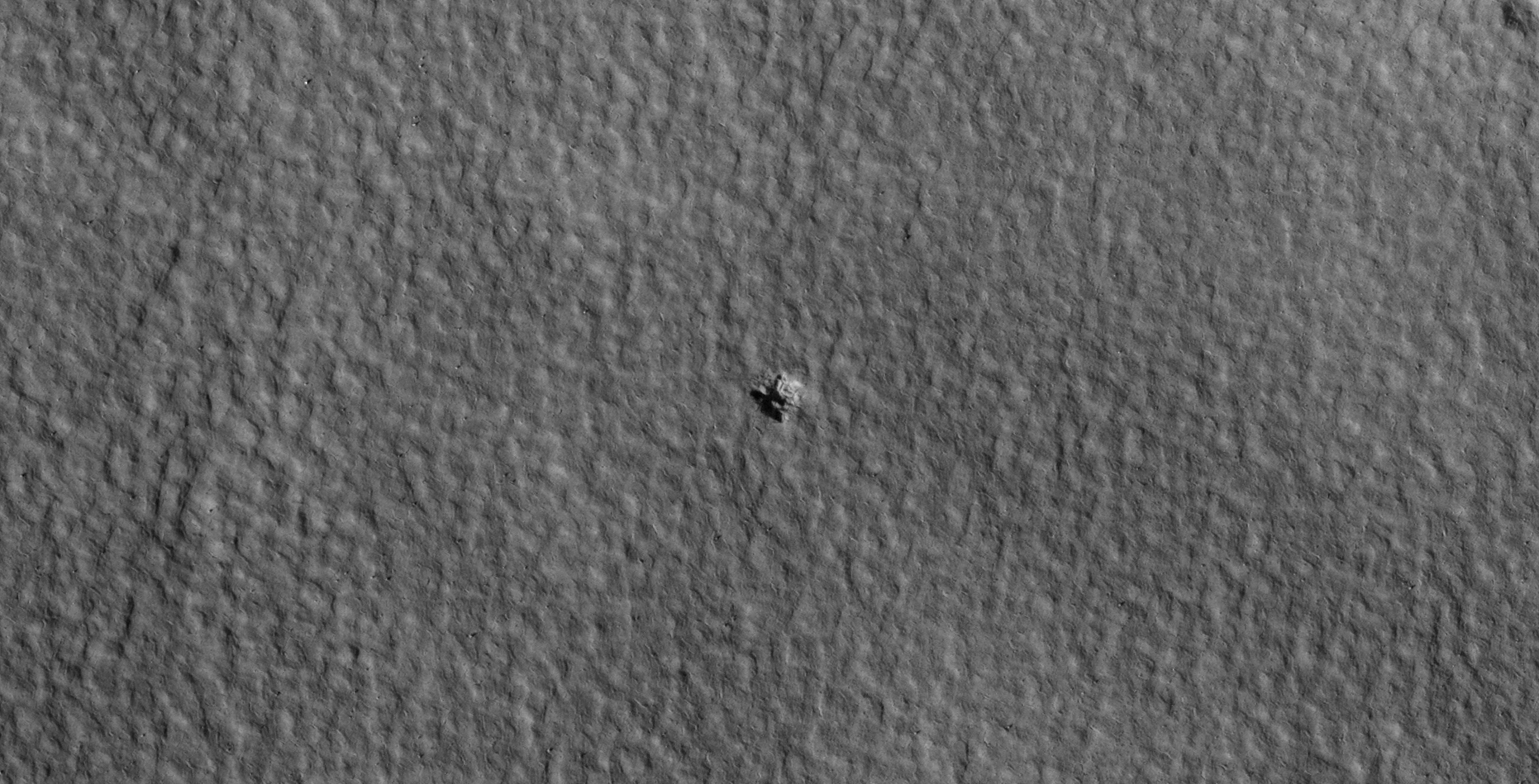
Discovered are what look like two eroded megalithic-type objects, one on top of the other, inside a hole or pit on Mars covered in sand. The longest length of the top object is approximately 500 metres and the shortest length approximately 200 metres.
Could these be further giant megalithic-type objects found On Mars or are these an artefact of some really strange geological process that produced rectangular features with straight edges, flat sides and right-angles?
Two eroded megalithic-type objects approximately 500 m by 200 m, one on top of the other, inside a hole or pit covered in sand? (PSP_007860_1470) (click for larger image)Zoomed-in view (PSP_007860_1470) (click for larger image)
The following images show holes/pits/craters in the immediate area, when compared to these the megalithic-type objects appear totally out-of-place:
Hole/pit/crater in the immediate area (PSP_007860_1470) (click for larger image)Hole/pit/crater in the immediate area (PSP_007860_1470) (click for larger image)Hole/pit/crater in the immediate area (PSP_007860_1470) (click for larger image)
These anomalies remind me of other similar megalithic-type objects I discovered on Mars:
Megalithic type-block approximately 2 km long by approximately 300 m wide (B17_016259_2199_XN_39N300W) (click for larger image)Two giant eroded megaliths approximately 650 m wide found in South Polar region (G14_023507_1029_XN_77S158W) (click for larger image)Megalithic block approximately 240 m long by approximately 78 m wide inside hole or pit (S1801249) (click for larger image)Huge Eroded Monolith in Asimov Crater – Approximately 33 metres wide and approximately 75 metres tall (ESP_012411_1320) (click for larger image)
Images saved from within HiView or CTX viewer do not include image scale indicators. The image scale indicators I include in images are based on the official resolutions provided by NASA and although I strive to be as accurate as possible there may be slight deviations from the actual scale. Image scale indicators are included as a size approximation tool only.
Ley lines are mapped as accurately as possible using the limited information, data and mapping tools available at the time, therefore the ley lines may deviate from target sites by a few kilometres. Revisions may be made in the future as new, more precise information, data and mapping tools become available.
Many or all of the anomalies/artefacts covered in this presentation may be naturally occurring geological features caused by some type of geological processes, however due to the lack of specific information from the source we can only speculate whether these are all natural or some artificial in nature.
In cases where I say an anomaly looks like something I’m attempting to clarify what I see and not specifically that the anomaly is what I say it looks like.
My intention is only to share anomalies I’ve discovered on Mars and not to convince anyone that there is or was a civilization on Mars.
As Will Farrar from WhatsUpInTheSky says: “I see what I see, you see what you see.”
The photograph analyzed here (ESP_020286_2350) was taken by NASA’s Mars Reconnaissance Orbiter HiRISE Cameras on 24 November 2010. NASA describes the photograph as “Crater Rim North of Tempe Terra.”
Discovered is what looks like either an abandoned mine or strange geometric shape carved into the Martian surface. The two straight sides measure approximately 210 metres in length and it appears one side may have caved in.
There are also numerous ‘rubble’ piles and strange objects scattered about the area.
Could this have been an ancient site with structures or buildings and what is the significance of the strange, what almost looks like a triangular shape carved into the surface?
Mine or triangular-shaped hole carved into the Martian surface. The two straight sides measure approximately 210 metres in length (click for larger image)Another mining operation? (click for larger image)‘Rubble’ pile? (click for larger image)Another ‘rubble’ pile? (click for larger image)Some type of machine or technology? There seems to be a small oblong dome-like feature on the top of the larger rectangular metallic-looking part (click for larger image)Some type of machine or technology? There seems to be a smaller dome-like features on the top of the larger rectangular metallic-looking parts. The ‘metal’ looks bent (click for larger image)
This anomaly reminds me of another strange triangular-shaped anomaly I discovered in an area (PSP_006754_1790) to the South-East approximately 5622 km away.
Smooth, flat triangular feature, one side of a pyramid under construction? the two shorter sides each measure approximately 30 metres in length (PSP_006754_1790) (click for larger image)
Images saved from within HiView or CTX viewer do not include image scale indicators. The image scale indicators I include in images are based on the official resolutions provided by NASA and although I strive to be as accurate as possible there may be slight deviations from the actual scale. Image scale indicators are included as a size approximation tool only.
Ley lines are mapped as accurately as possible using the limited information, data and mapping tools available at the time, therefore the ley lines may deviate from target sites by a few kilometres. Revisions may be made in the future as new, more precise information, data and mapping tools become available.
Many or all of the anomalies/artefacts covered in this presentation may be naturally occurring geological features caused by some type of geological processes, however due to the lack of specific information from the source we can only speculate whether these are all natural or some artificial in nature.
In cases where I say an anomaly looks like something I’m attempting to clarify what I see and not specifically that the anomaly is what I say it looks like.
My intention is only to share anomalies I’ve discovered on Mars and not to convince anyone that there is or was a civilization on Mars.
As Will Farrar from WhatsUpInTheSky says: “I see what I see, you see what you see.”